We can't find the internet
Attempting to reconnect
Something went wrong!
Hang in there while we get back on track
£80.64
Springer Spektrum Geoinformatik: Handbuch der Geodäsie, herausgegeben von Willi Freeden und Reiner Rummel (Springer Reference Naturwissenschaften)
Price data last checked 33 day(s) ago - refreshing...
We'll watch every seller, every day. One email when your price arrives.
It has never been this cheap. We have no record of a lower price.
£81 today · cheaper than every other day in the last 2 months
NEW HERE?
Amazon shows you one price. We show you all of them.
Tosheroon watches Amazon prices so you don't have to. Every product on Amazon has a price history — we make it visible. Set the price you'd actually pay, and we'll email you the second it gets there. No app, no account, one email.
WHAT'S ON THIS PAGE
when this has been cheap or pricey
where the price is heading next
all-time high & low, recent range
name your number, we'll email you
Price History & Forecast
Grey patches = out of stock. Cheaper = lower on the chart. Hover for exact prices.
Last 32 days • 32 data points (No recent data available)
Price Distribution
Price distribution over 32 days • 1 price levels
Price Analysis
Most common price: £81 (32 days, 100.0%)
Price range: £81 - £81
Price levels: 1 different prices over 32 days
Description
Product Specifications
- Brand
- Springer Spektrum
- Format
- hardcover
- ASIN
- 3662470950
- Category
- Books > Subjects > Crafts, Hobbies & Home > Gardening > Professional Horticulture > Soil Science
- Domain
- Amazon UK
- Release Date
- 03 December 2019
- Listed Since
- 20 December 2018
Barcode
No barcode data available
Similar Products You Might Like
Geoinformation: Remote Sensing, Photogrammetry and Geographical Information Systems
CRC Press
Geo-information: Technologies, Applications and the Environment: 5 (Geotechnologies and the Environment, 5)
Springer
Advancing Geoinformation Science for a Changing World (Lecture Notes in Geoinformation and Cartography)
Springer
Progress and New Trends in 3D Geoinformation Sciences (Lecture Notes in Geoinformation and Cartography)
Springer
Innovations in 3D Geo Information Systems (Lecture Notes in Geoinformation and Cartography)
Springer
Introduction to Geospatial Information and Communication Technology (GeoICT)
Springer
Advances in 3D Geoinformation Systems (Lecture Notes in Geoinformation and Cartography)
Springer
Geospatial Technologies in Land Resources Mapping, Monitoring and Management: 21 (Geotechnologies and the Environment, 21)
Springer
Advances and Trends in Geodesy, Cartography and Geoinformatics II: Proceedings of the 11th International Scientific and Professional Conference on ... 2019, Demänovská Dolina, Low Tatras, Slovakia
CRC Press
3D Geoinformation Science: The Selected Papers of the 3D GeoInfo 2014 (Lecture Notes in Geoinformation and Cartography)
Springer
Frontiers of Geographic Information Technology
Springer

Introduction to Geospatial Technology
W. H. Freeman
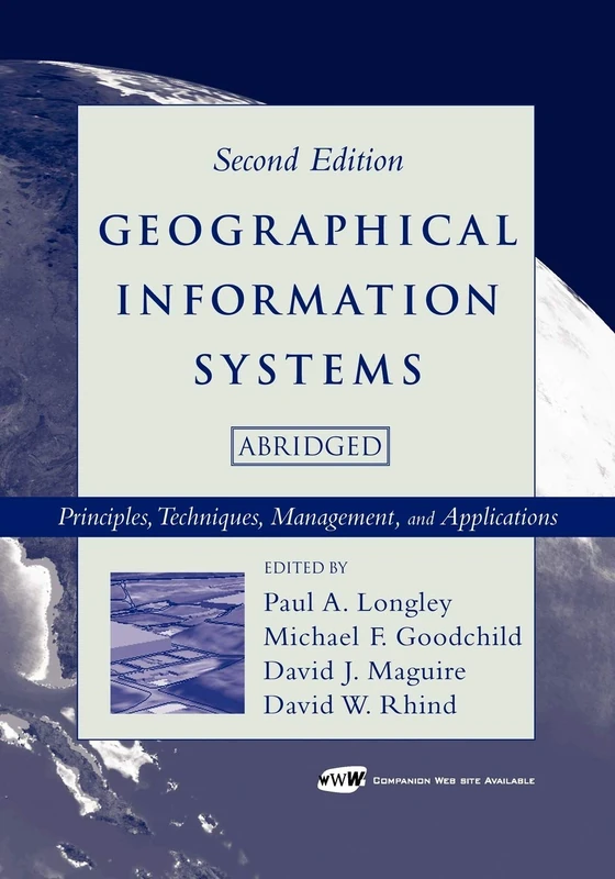
Geographical Information Systems: Principles, Techniques, Management and Applications, Abridged
Wiley
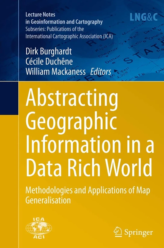
Abstracting Geographic Information in a Data Rich World: Methodologies and Applications of Map Generalisation (Lecture Notes in Geoinformation and Cartography)
Springer
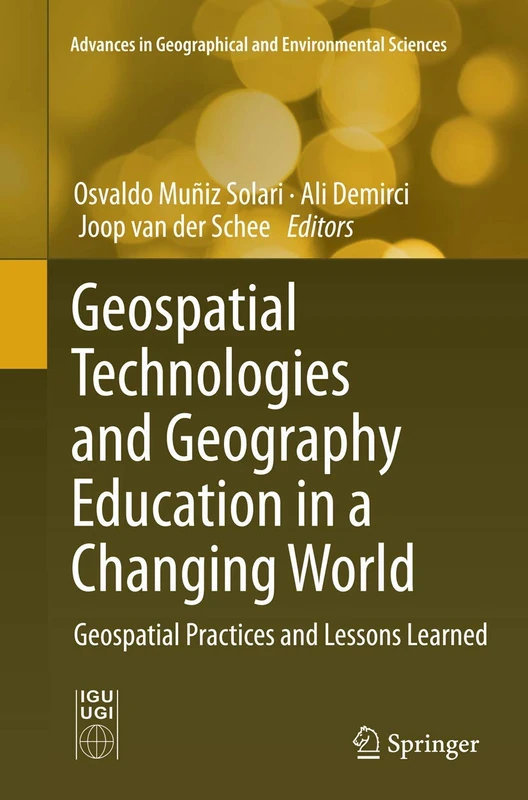
Geospatial Technologies and Geography Education in a Changing World: Geospatial Practices and Lessons Learned (Advances in Geographical and Environmental Sciences)
Springer
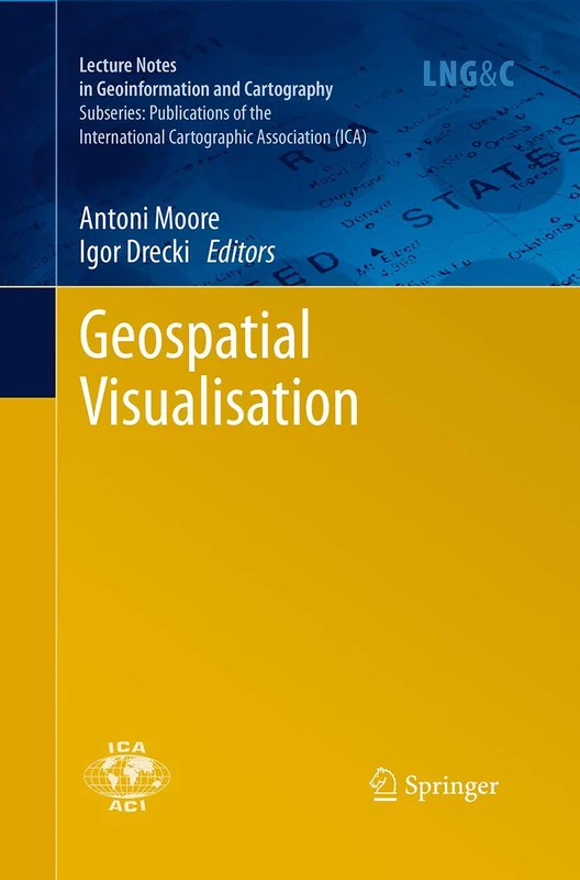
Geospatial Visualisation (Lecture Notes in Geoinformation and Cartography)
Springer
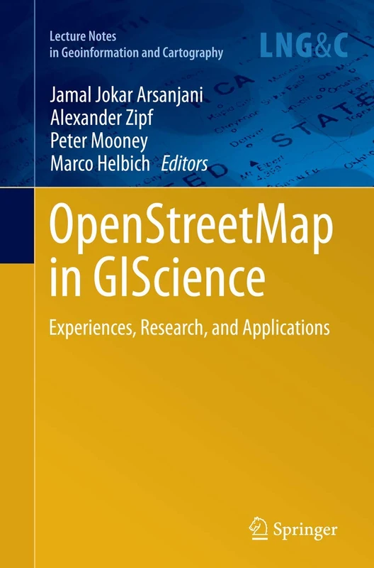
OpenStreetMap in GIScience: Experiences, Research, and Applications (Lecture Notes in Geoinformation and Cartography)
Springer
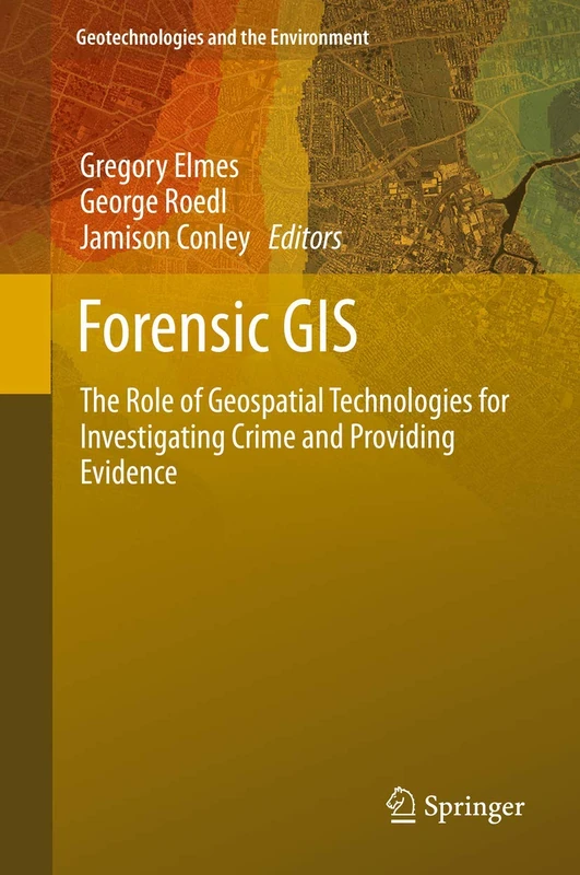
Forensic GIS: The Role of Geospatial Technologies for Investigating Crime and Providing Evidence: 11 (Geotechnologies and the Environment, 11)
Springer
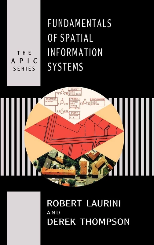
Fundamentals of Spatial Information Systems (Apic Studies in Data Processing)
Academic Press
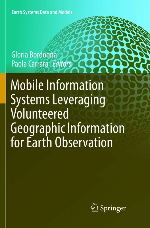
Mobile Information Systems Leveraging Volunteered Geographic Information for Earth Observation: 4 (Earth Systems Data and Models, 4)
Springer
Geodesia I: Introducción al posicionamiento con técnicas satelitales
EAE Editorial Academia Espanola

Frontiers of Geographic Information Technology
Springer
Database Issues in Geographic Information Systems: 6 (Advances in Database Systems, 6)
Springer
Automating the Analysis of Spatial Grids: A Practical Guide to Data Mining Geospatial Images for Human & Environmental Applications: 6 (Geotechnologies and the Environment, 6)
Springer