We can't find the internet
Attempting to reconnect
Something went wrong
Hang in there while we get back on track
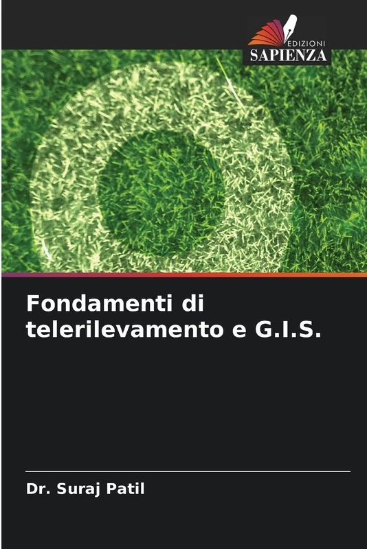
£57.33
It has never been this cheap. We have no record of a lower price.
£57 today · cheaper than every other day in the last 3 months
Fondamenti di telerilevamento e G.I.S.
We'll watch every seller, every day. One email when your price arrives.
Price History & Forecast
Grey patches = out of stock. Cheaper = lower on the chart. Hover for exact prices.
Last 58 days · 58 data points (no recent data)
NEW HERE?
Amazon shows you one price. We show you all of them.
Tosheroon watches Amazon prices so you don't have to. Every product on Amazon has a price history — we make it visible. Set the price you'd actually pay, and we'll email you the second it gets there. No app, no account, one email.
WHAT'S ON THIS PAGE
when this has been cheap or pricey
where the price is heading next
all-time high & low, recent range
name your number, we'll email you
Price Distribution
Price distribution over 58 days • 1 price levels
Price Analysis
Most common price: £57 (58 days, 100.0%)
Price range: £57 - £57
Price levels: 1 different prices over 58 days
Description
Product Specifications
- Format
- paperback
- ASIN
- 6209162967
- Domain
- Amazon UK
- Release Date
- 24 October 2025
- Listed Since
- 25 October 2025
Barcode
No barcode data available
Similar Products You Might Like
Introduzione al sistema informativo geografico: Una guida per gli studenti GIS
Geospatial Technologies in Earth Science
Toronto Academic Press
Télédétection et analyse géospatiale: Télédétection
Il telerilevamento e le sue applicazioni ambientali
Geospatial Technology for Earth Observation
Springer
GIS and Remote Sensing Techniques in Land- and Water-management
Springer
Geoinformation: Remote Sensing, Photogrammetry and Geographical Information Systems
CRC Press
Modellazione geospaziale ecologica per la protezione delle acque superficiali: Mediante tecniche di telerilevamento e GIS
Geospatial Technology: Fundamentals & Applications: Fundamentals & Applications
NEW INDIA PUBLISHING AGENCY- NIPA
Analyse et modélisation des données géospatiales pour la gestion de la qualité de l'eau
Real Estate and GIS: The Application of Mapping Technologies
Routledge

Potenziali dati sul campo e GIS
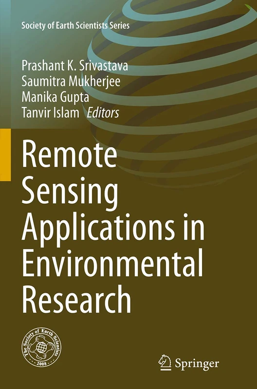
Remote Sensing Applications in Environmental Research (Society of Earth Scientists Series)
Springer

Indagine di telerilevamento sulle dighe al confine con la RS: Progetto Geomorfometria applicata alle dighe per la valutazione della produzione agricola integrata con l'acquacoltura
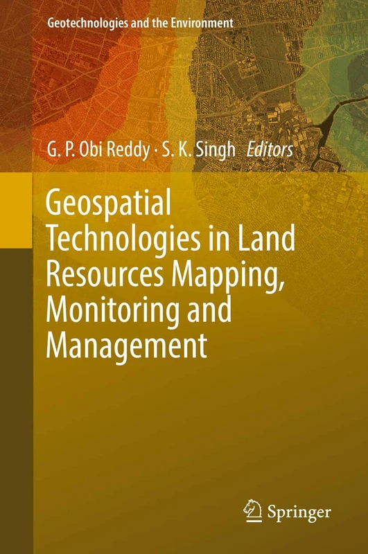
Geospatial Technologies in Land Resources Mapping, Monitoring and Management: 21 (Geotechnologies and the Environment, 21)
Springer

Modellizzazione basata sul GIS delle risorse idriche superficiali e sotterranee
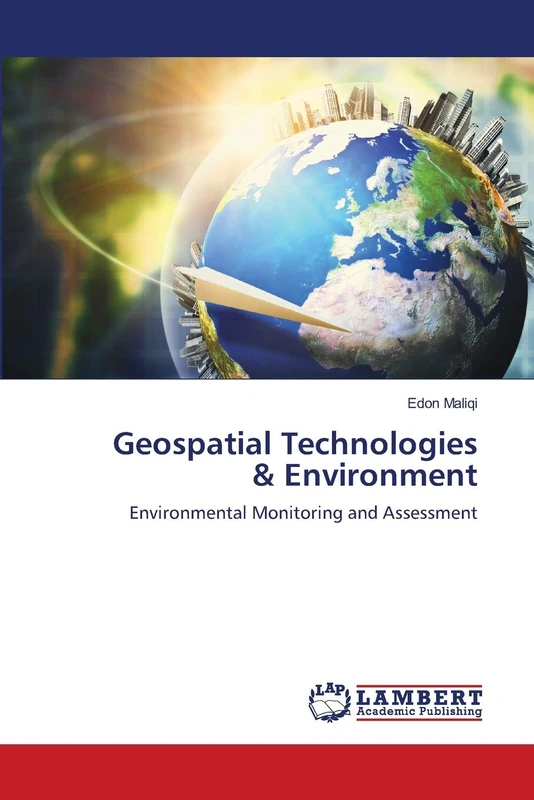
Geospatial Technologies & Environment: Environmental Monitoring and Assessment
LAP Lambert Academic Publishing
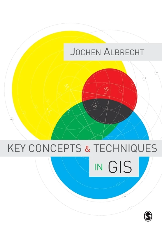
Key Concepts and Techniques in GIS
Sage Publishing
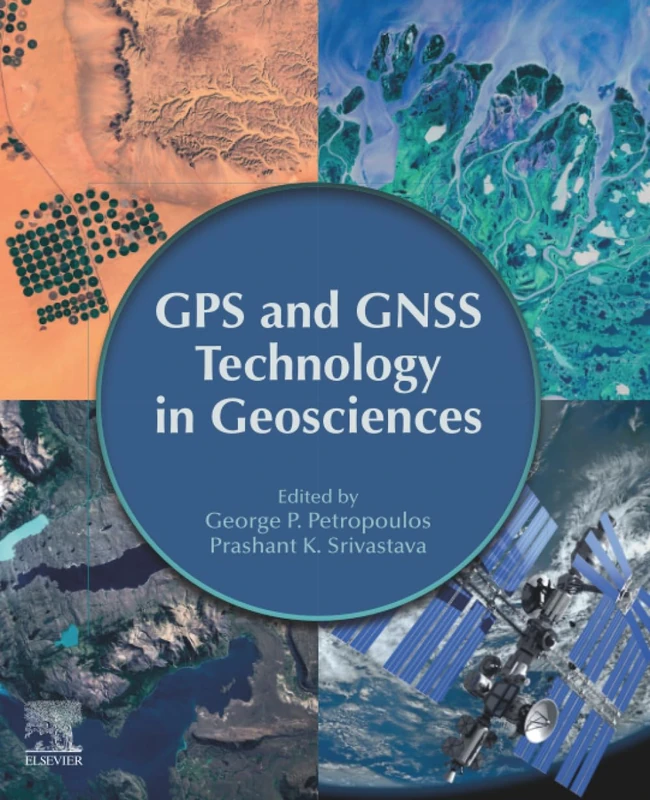
GPS and GNSS Technology in Geosciences
Elsevier

Geofisica ingegneristica: Caratterizzazione geofisica integrata delle fondazioni di un edificio
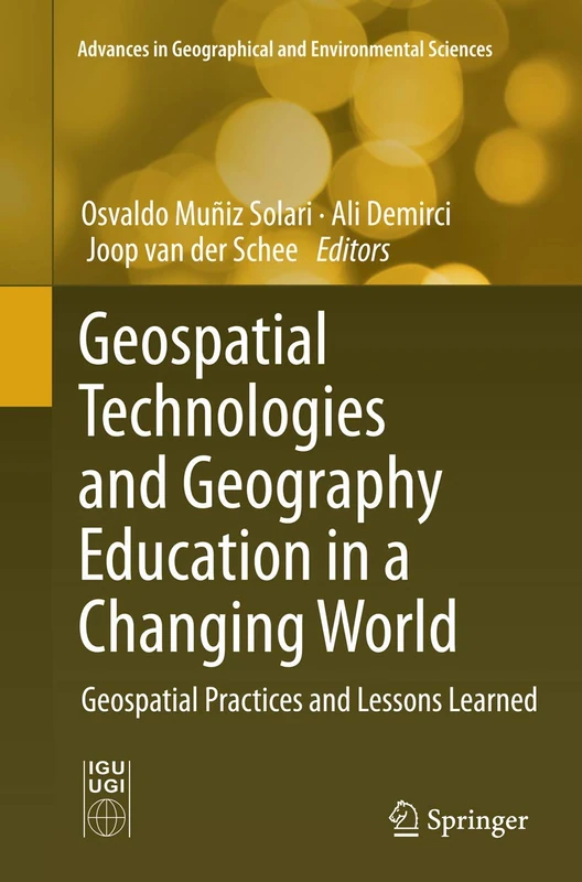
Geospatial Technologies and Geography Education in a Changing World: Geospatial Practices and Lessons Learned (Advances in Geographical and Environmental Sciences)
Springer

Applicazione di modelli di vulnerabilità delle acque sotterranee in un'area urbana: Integrazione con l'ambiente GIS
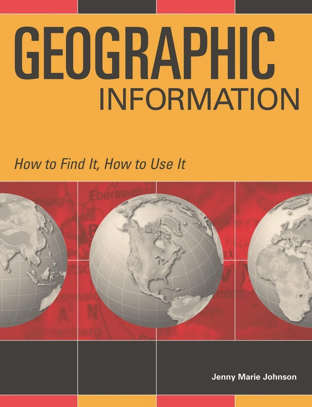
Geographic Information: How to Find It, How to Use It
Bloomsbury
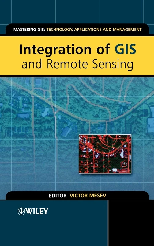
Integration of GIS and Remote Sensing: 3 (Mastering GIS: Technol, Applications & Mgmnt)
Wiley