We can't find the internet
Attempting to reconnect
Something went wrong
Hang in there while we get back on track

£50.00
It has never been this cheap. We have no record of a lower price.
£50 today · cheaper than every other day in the last 3 months
Interactieve briefingkaart: Op de Responsive Workbench
We'll watch every seller, every day. One email when your price arrives.
Price History & Forecast
Grey patches = out of stock. Cheaper = lower on the chart. Hover for exact prices.
Last 26 days · 26 data points (no recent data)
NEW HERE?
Amazon shows you one price. We show you all of them.
Tosheroon watches Amazon prices so you don't have to. Every product on Amazon has a price history — we make it visible. Set the price you'd actually pay, and we'll email you the second it gets there. No app, no account, one email.
WHAT'S ON THIS PAGE
when this has been cheap or pricey
where the price is heading next
all-time high & low, recent range
name your number, we'll email you
Price Distribution
Price distribution over 26 days • 1 price levels
Price Analysis
Most common price: £50 (26 days, 100.0%)
Price range: £50 - £50
Price levels: 1 different prices over 26 days
Description
Product Specifications
- Format
- paperback
- ASIN
- 6203561525
- Domain
- Amazon UK
- Release Date
- 15 August 2021
- Listed Since
- 17 August 2021
Barcode
No barcode data available
Similar Products You Might Like
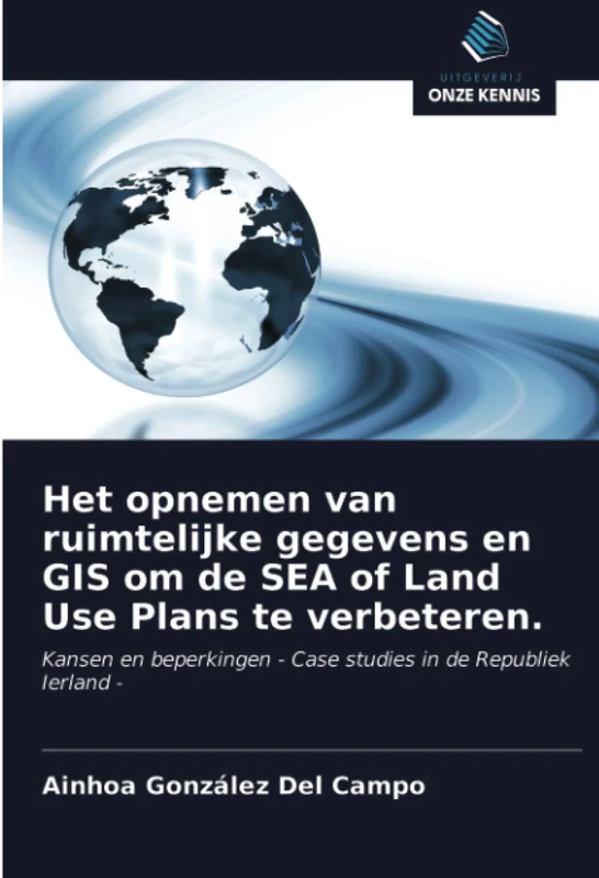
Het opnemen van ruimtelijke gegevens en GIS om de SEA of Land Use Plans te verbeteren.: Kansen en beperkingen - Case studies in de Republiek Ierland -
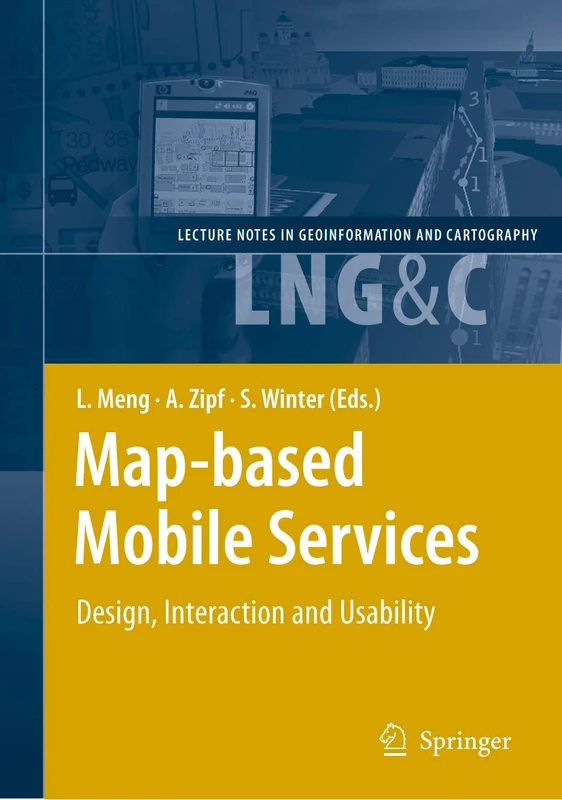
Map-based Mobile Services: Design, Interaction and Usability (Lecture Notes in Geoinformation and Cartography)
Springer
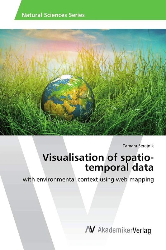
Visualisation of spatio-temporal data: with environmental context using web mapping
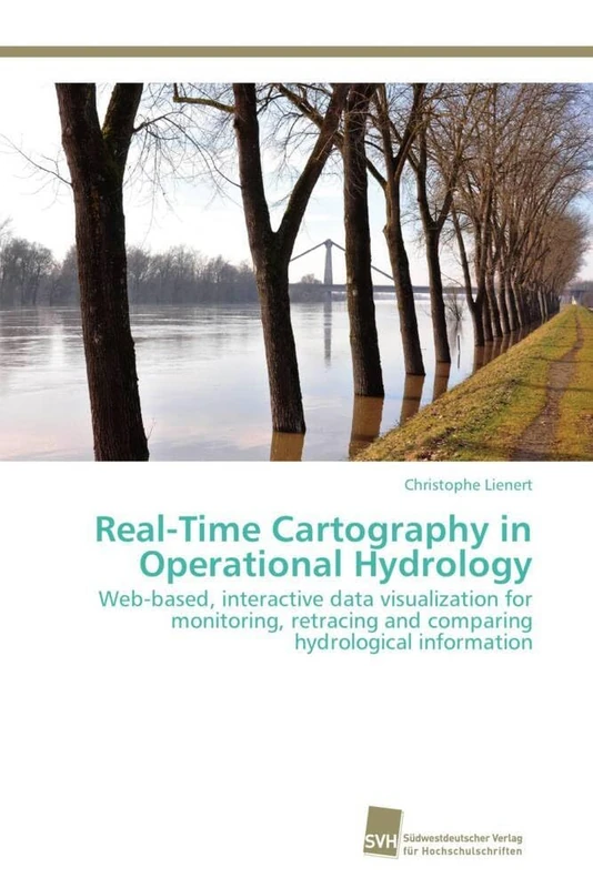
Real-Time Cartography in Operational Hydrology: Web-based, interactive data visualization for monitoring, retracing and comparing hydrological information
Südwestdeutscher Verlag für Hochschulschriften
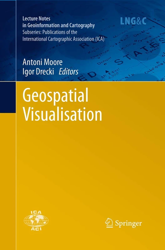
Geospatial Visualisation (Lecture Notes in Geoinformation and Cartography)
Springer
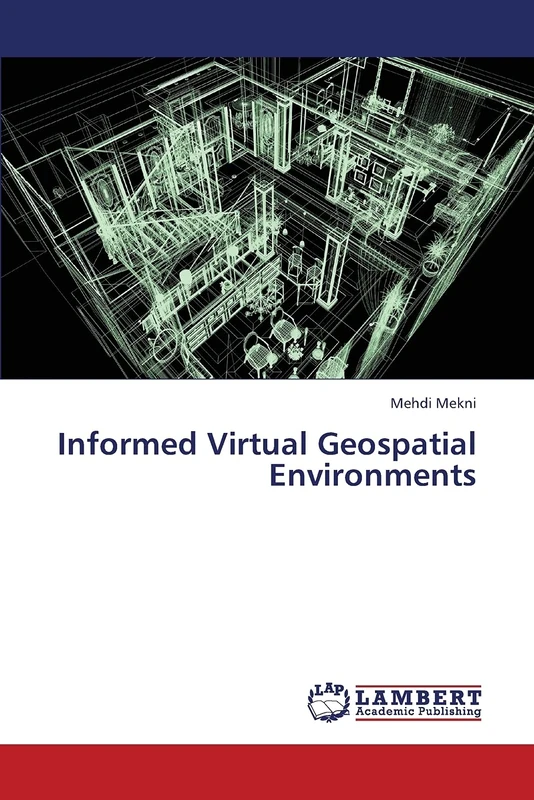
Informed Virtual Geospatial Environments
LAP Lambert Academic Publishing
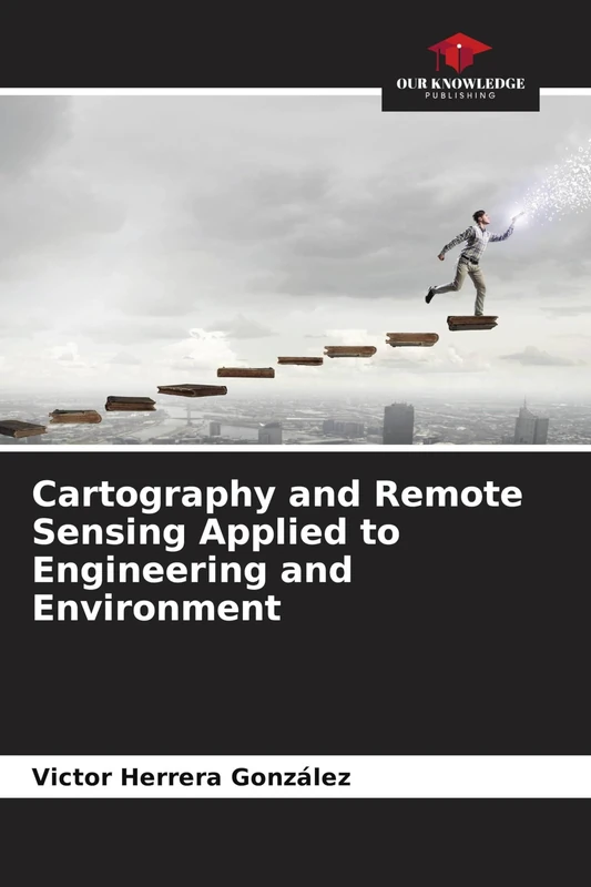
Cartography and Remote Sensing Applied to Engineering and Environment
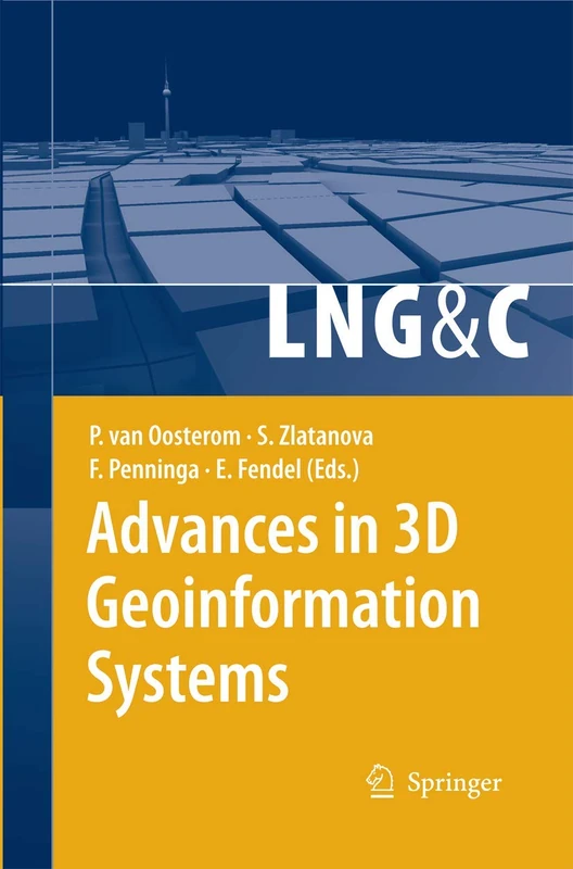
Advances in 3D Geoinformation Systems (Lecture Notes in Geoinformation and Cartography)
Springer
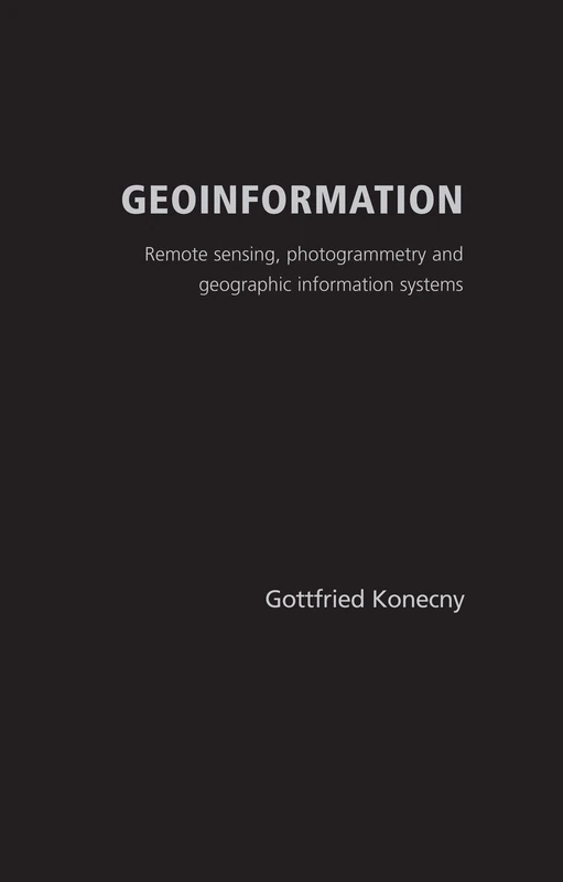
Geoinformation: Remote Sensing, Photogrammetry and Geographical Information Systems
CRC Press

Bewertung und Analyse der Eignung landwirtschaftlicher Flächen
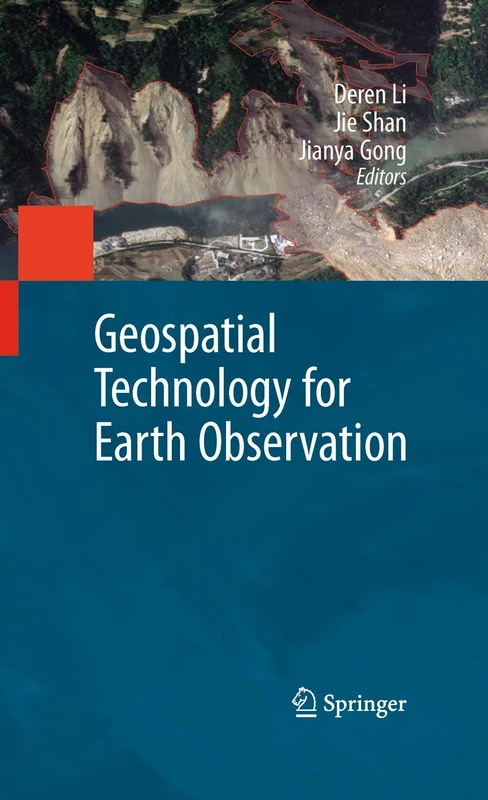
Geospatial Technology for Earth Observation
Springer
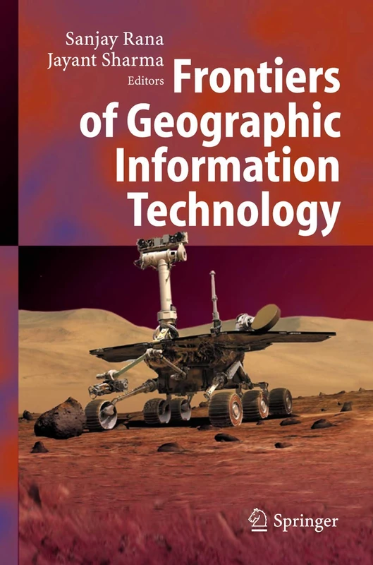
Frontiers of Geographic Information Technology
Springer
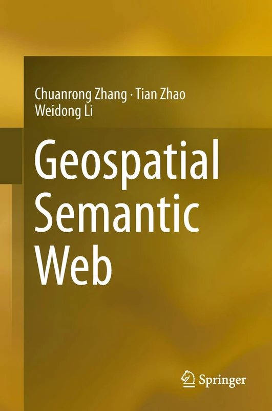
Geospatial Semantic Web
Springer
GIS and Remote Sensing Techniques in Land- and Water-management
Springer
Kartographie und Fernerkundung, angewandt auf Technik und Umwelt
Land use planning and remote sensing: 2 (Remote Sensing of Earth Resources and Environment, 2)
Springer

A Framework for Visualizing Information: 1 (Human–Computer Interaction Series, 1)
Springer
Aufbau eines Wertermittlungsinformationssystems
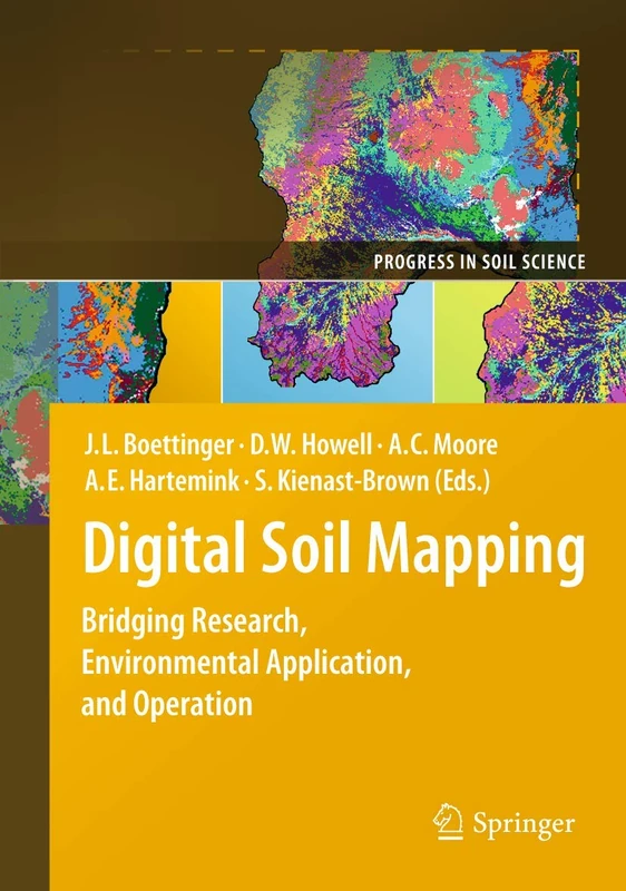
Digital Soil Mapping: Bridging Research, Environmental Application, and Operation: 02 (Progress in Soil Science)
Springer
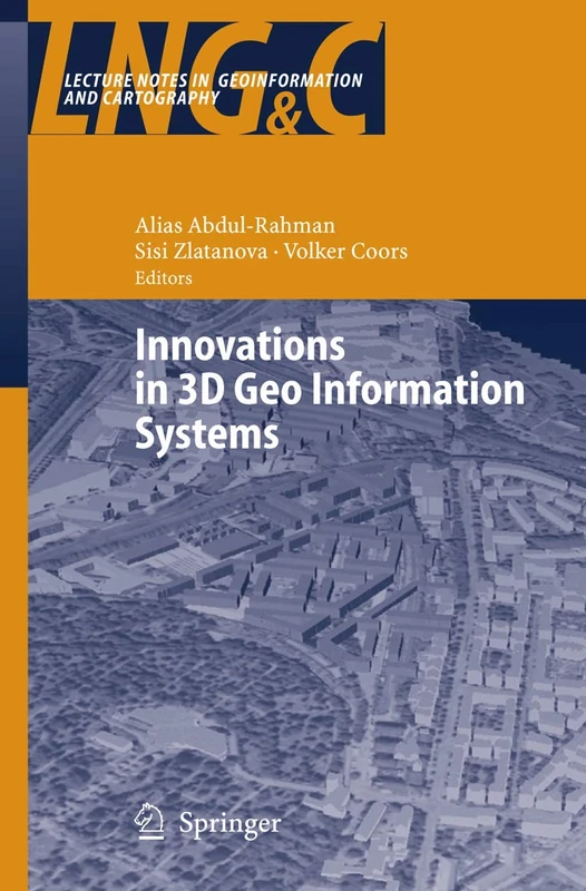
Innovations in 3D Geo Information Systems (Lecture Notes in Geoinformation and Cartography)
Springer
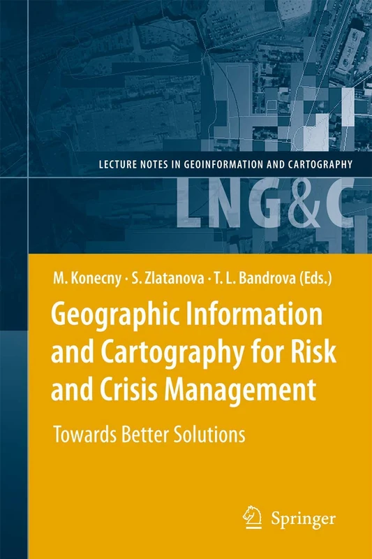
Geographic Information and Cartography for Risk and Crisis Management: Towards Better Solutions (Lecture Notes in Geoinformation and Cartography)
Springer
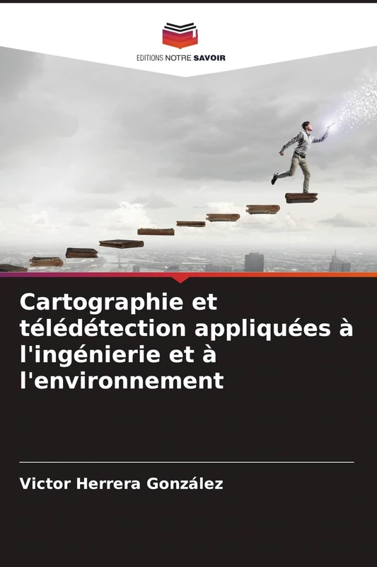
Cartographie et télédétection appliquées à l'ingénierie et à l'environnement
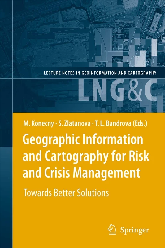
Geographic Information and Cartography for Risk and Crisis Management: Towards Better Solutions (Lecture Notes in Geoinformation and Cartography)
Springer
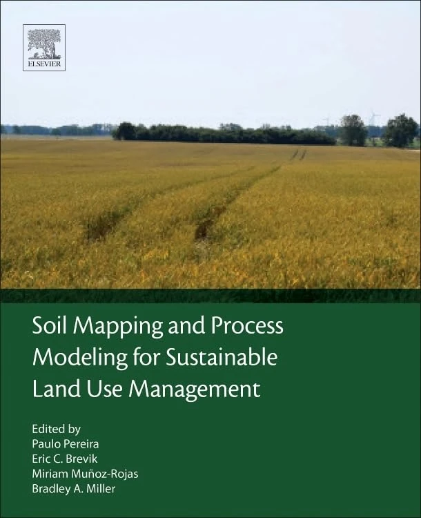
Soil Mapping and Process Modeling for Sustainable Land Use Management
Elsevier