We can't find the internet
Attempting to reconnect
Something went wrong
Hang in there while we get back on track
£60.00
It has never been this cheap. We have no record of a lower price.
£60 today · cheaper than every other day in the last 3 months
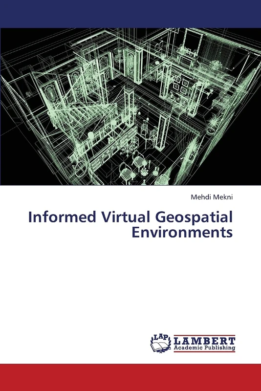
LAP Lambert Academic Publishing Informed Virtual Geospatial Environments
Price data last checked 36 day(s) ago - refreshing...
We'll watch every seller, every day. One email when your price arrives.
Price History & Forecast
Grey patches = out of stock. Cheaper = lower on the chart. Hover for exact prices.
Last 55 days · 55 data points (no recent data)
Price data last checked 36 day(s) ago - refreshing...
NEW HERE?
Amazon shows you one price. We show you all of them.
Tosheroon watches Amazon prices so you don't have to. Every product on Amazon has a price history — we make it visible. Set the price you'd actually pay, and we'll email you the second it gets there. No app, no account, one email.
WHAT'S ON THIS PAGE
when this has been cheap or pricey
where the price is heading next
all-time high & low, recent range
name your number, we'll email you
Price Distribution
Price distribution over 55 days • 1 price levels
Price Analysis
Most common price: £60 (55 days, 100.0%)
Price range: £60 - £60
Price levels: 1 different prices over 55 days
Description
Product Specifications
- Format
- paperback
- ASIN
- 3659399248
- Domain
- Amazon UK
- Release Date
- 31 May 2013
- Listed Since
- 31 May 2013
Barcode
No barcode data available
Similar Products You Might Like
Geospatial Technologies & Environment: Environmental Monitoring and Assessment
LAP Lambert Academic Publishing
Exploratory representations for GIR from the internet: geographic information retrieval and representations
LAP Lambert Academic Publishing
Facilitating Data-intensive Research and Education in Earth Science: A Geospatial Web Service Approach
LAP Lambert Academic Publishing

The Truth About Agent-Based Modeling: The History, Philosophy, and Practice of Agent-Based Modeling and Developing the Conceptual Model for Simulation Diagram
LAP Lambert Academic Publishing
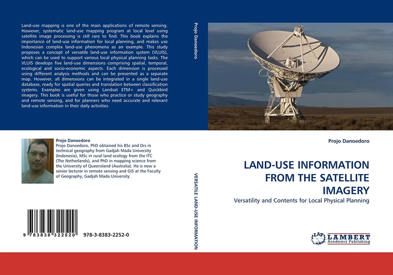
LAND-USE INFORMATION FROM THE SATELLITE IMAGERY: Versatility and Contents for Local Physical Planning
LAP Lambert Academic Publishing
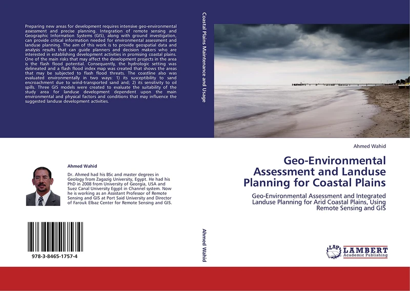
Geo-Environmental Assessment and Landuse Planning for Coastal Plains: Geo-Environmental Assessment and Integrated Landuse Planning for Arid Coastal Plains, Using Remote Sensing and GIS
LAP Lambert Academic Publishing

Intelligent Environments: Methods, Algorithms and Applications (Advanced Information and Knowledge Processing)
Springer

Studies in Engineering Geomorphology:: Geomatics and Artificial Intelligence
LAP Lambert Academic Publishing
Optimization of Urban Landuse Planning Using Geoinformation Techniques
LAP Lambert Academic Publishing
Advanced Image Processing Techniques for Land Feature Classification: Classification of Semi-Urban Land Use/ Land Cover Features in High Resolution RS Data
LAP Lambert Academic Publishing

Contributions to Spatial Uncertainty Modelling in GIS: Small Sample Data
LAP Lambert Academic Publishing

Autonomous Surface Exploration for Mobile Robots: Using Information Metrics to Plan Paths for Robotic Exploration
LAP Lambert Academic Publishing

Geo-informatics and Nanotechnology for Precision Farming: Applications of artificial intelligence to better crop production, protection and management
LAP Lambert Academic Publishing

Building Information Modeling for Building Maintenance: Building Information Modeling and the Development of Integrated Model View Definitions for Building Maintenance
LAP Lambert Academic Publishing
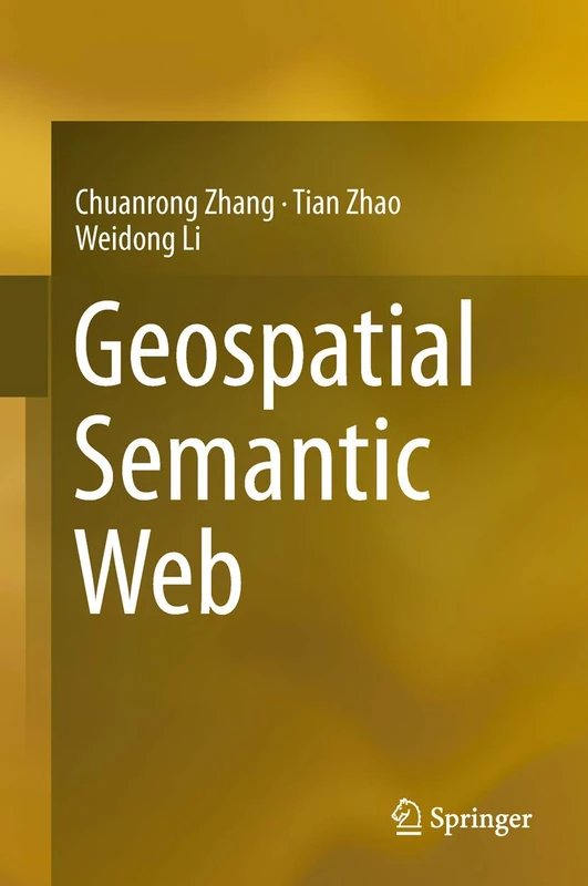
Geospatial Semantic Web
Springer

Groundwater Assessment and Modelling
LAP Lambert Academic Publishing
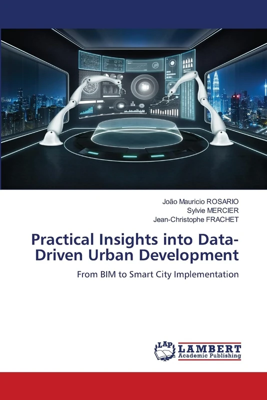
Practical Insights into Data-Driven Urban Development: From BIM to Smart City Implementation
LAP Lambert Academic Publishing

Ecological Approach: Understand Your Surroundings
LAP Lambert Academic Publishing

Advanced Environmental Engineering (II)
LAP Lambert Academic Publishing

Village Information System: Geospatial Database for Smart Village
LAP Lambert Academic Publishing

Programming Robots with an Agent-Oriented BDI-based Architecture: Explorations using the JaCa and WeBots platforms
LAP Lambert Academic Publishing
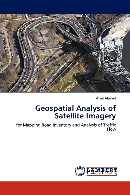
Geospatial Analysis of Satellite Imagery: for Mapping Road Inventory and Analysis of Traffic Flow
LAP Lambert Academic Publishing

Think About Geographic Information System
LAP Lambert Academic Publishing

Research in Environment: Environment and Research
LAP Lambert Academic Publishing