We can't find the internet
Attempting to reconnect
Something went wrong
Hang in there while we get back on track
£52.09
Springer Spektrum Geoinformatik in Theorie und Praxis: Grundlagen von Geoinformationssystemen, Fernerkundung und digitaler Bildverarbeitung
Price data last checked 17 day(s) ago - will refresh soon
We'll watch every seller, every day. One email when your price arrives.
This is the most expensive it has ever been. Walk away.
£52 today · previous high £52 · all-time low £52
NEW HERE?
Amazon shows you one price. We show you all of them.
Tosheroon watches Amazon prices so you don't have to. Every product on Amazon has a price history — we make it visible. Set the price you'd actually pay, and we'll email you the second it gets there. No app, no account, one email.
WHAT'S ON THIS PAGE
when this has been cheap or pricey
where the price is heading next
all-time high & low, recent range
name your number, we'll email you
Price History & Forecast
Grey patches = out of stock. Cheaper = lower on the chart. Hover for exact prices.
Last 74 days · 74 data points (no recent data)
Price Distribution
Price distribution over 74 days • 1 price levels
Price Analysis
Most common price: £52 (74 days, 100.0%)
Price range: £52 - £52
Price levels: 1 different prices over 74 days
Description
Product Specifications
- Brand
- Springer Spektrum
- Format
- hardcover
- ASIN
- 3662607085
- Domain
- Amazon UK
- Release Date
- 03 March 2020
- Listed Since
- 30 October 2019
Barcode
No barcode data available
Similar Products You Might Like
Springer Geoinformatics in Theory and Practice Textbook
Springer
Small Flying Drones: Applications for Geographic Observation
Springer
Geoinformatics in Applied Geomorphology
CRC Press
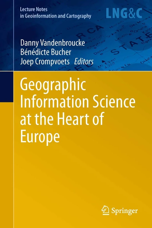
Geographic Information Science at the Heart of Europe (Lecture Notes in Geoinformation and Cartography)
Springer
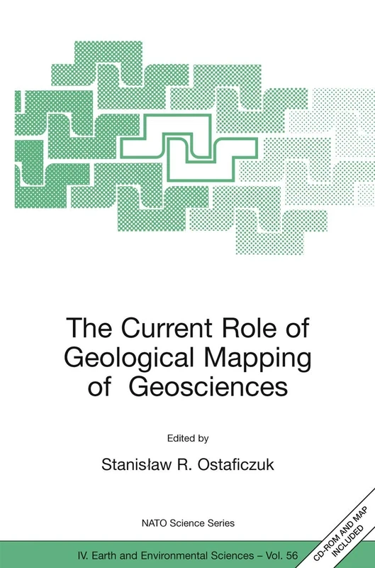
The Current Role of Geological Mapping in Geosciences: Proceedings of the NATO Advanced Research Workshop on Innovative Applications of GIS in ... 2003: 56 (NATO Science Series: IV:, 56)
Springer
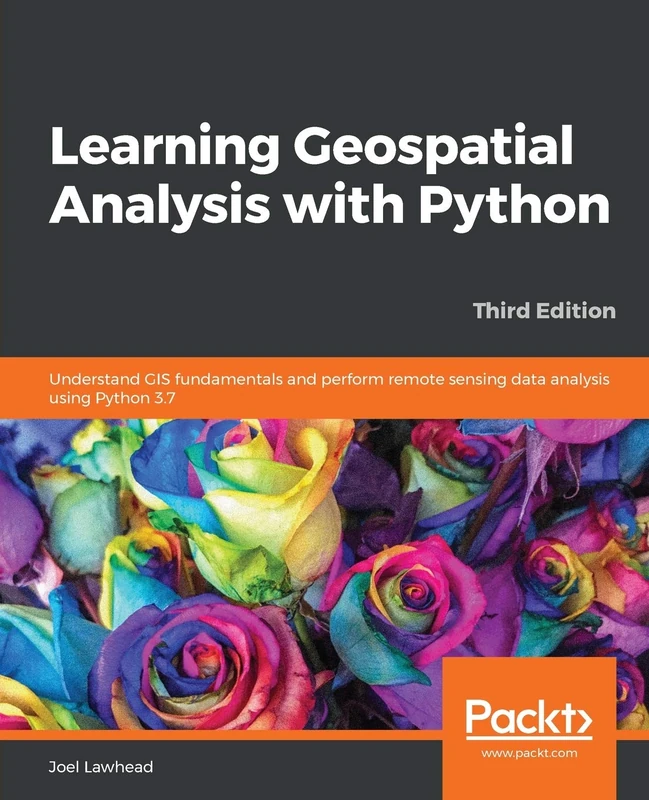
Learning Geospatial Analysis with Python: Understand GIS fundamentals and perform remote sensing data analysis using Python 3.7
Packt Publishing
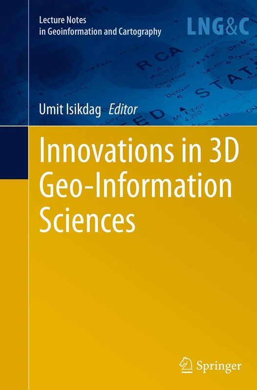
Innovations in 3D Geo-Information Sciences (Lecture Notes in Geoinformation and Cartography)
Springer
The Geographical Sciences During 1986―2015: From the Classics To the Frontiers (Springer Geography)
Springer
Research Design and Proposal Writing in Spatial Science: Second Edition
Springer

Framework for the World
Wiley
The Power of Geographical Thinking (International Perspectives on Geographical Education)
Springer
Geocomputation with Python (Chapman & Hall/CRC The Python Series)
Chapman and Hall/CRC

How To Do Your Dissertation in Geography and Related Disciplines
Routledge
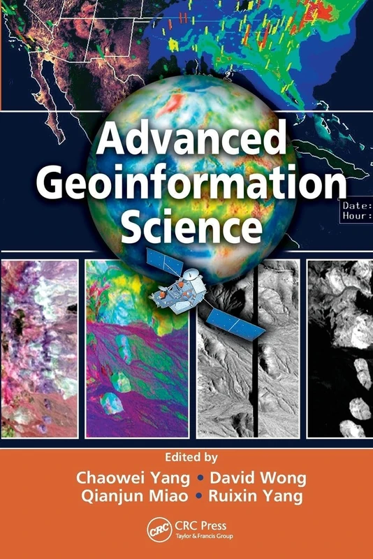
Advanced Geoinformation Science
CRC Press
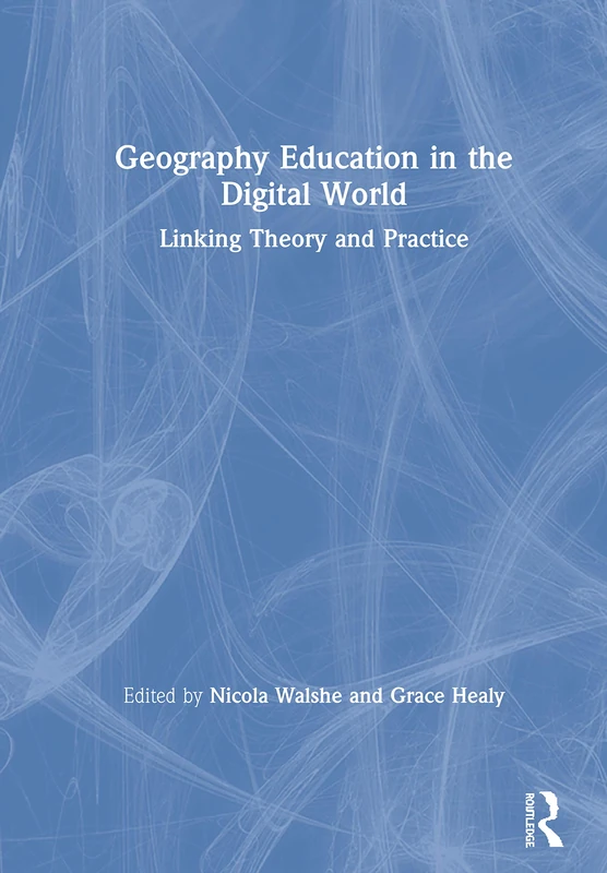
Routledge Geography Education in the Digital World Book
Routledge
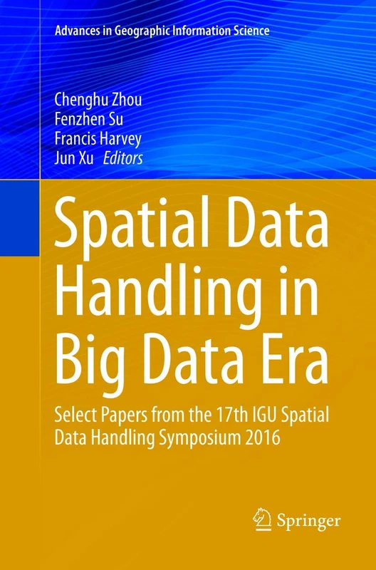
Spatial Data Handling in Big Data Era: Select Papers from the 17th IGU Spatial Data Handling Symposium 2016 (Advances in Geographic Information Science)
Springer
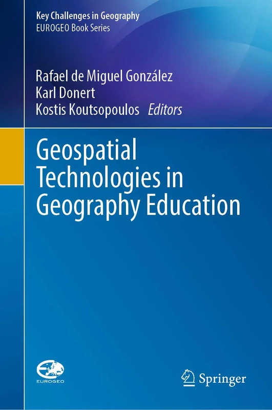
Geospatial Technologies in Geography Education (Key Challenges in Geography)
Springer
Spatially Explicit Hyperparameter Optimization for Neural Networks
Springer
Local Models for Spatial Analysis
CRC Press
Advances in Mapping from Remote Sensor Imagery: Techniques and Applications
CRC Press
Bloomsbury Geographers Volume 31: Biobibliographical Studies
Bloomsbury
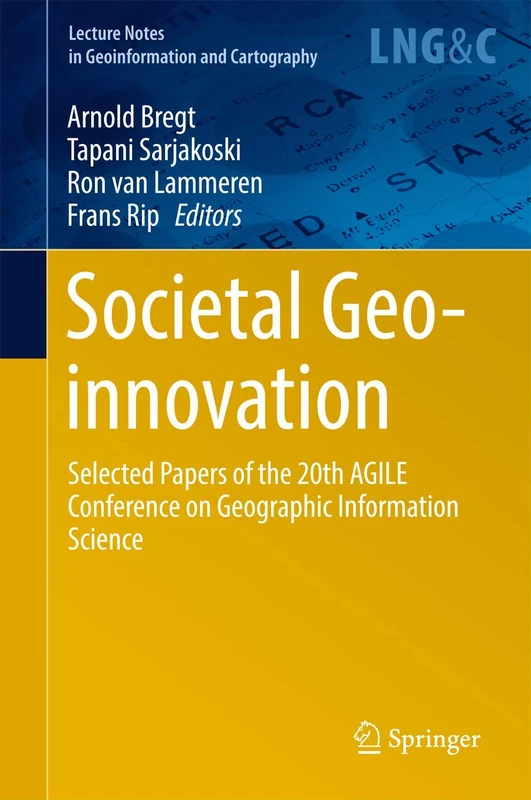
Societal Geo-innovation: Selected papers of the 20th AGILE conference on Geographic Information Science (Lecture Notes in Geoinformation and Cartography)
Springer
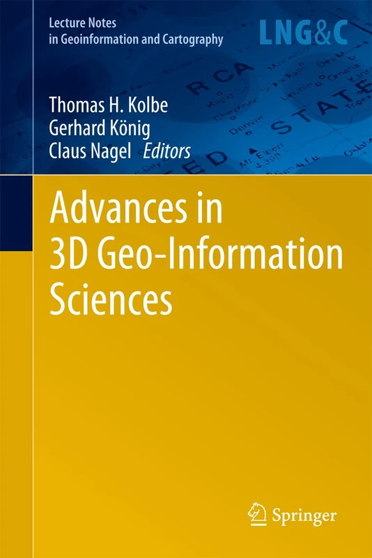
Advances in 3D Geo-Information Sciences (Lecture Notes in Geoinformation and Cartography)
Springer
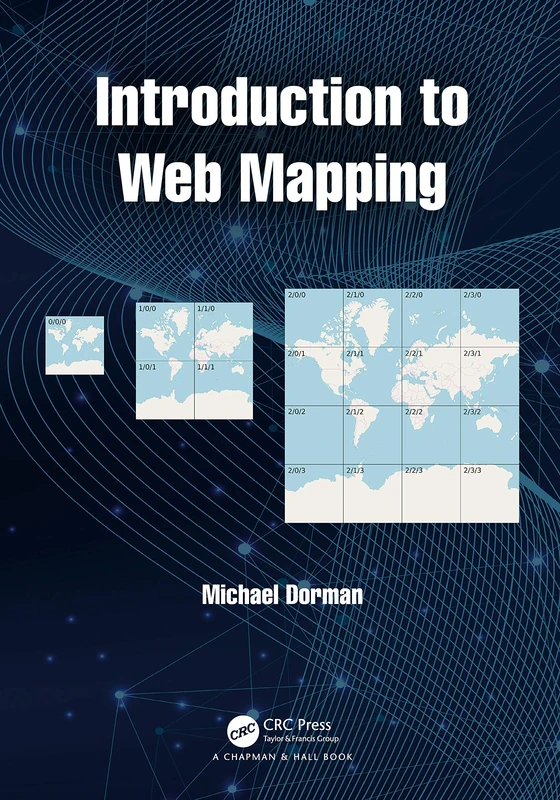
Introduction to Web Mapping
CRC Press