We can't find the internet
Attempting to reconnect
Something went wrong
Hang in there while we get back on track
£115.00
CRC Press Introduction to Web Mapping
Price data last checked 30 day(s) ago - will refresh soon
We'll watch every seller, every day. One email when your price arrives.
It has never been this cheap. We have no record of a lower price.
£115 today · cheaper than every other day in the last 3 months
NEW HERE?
Amazon shows you one price. We show you all of them.
Tosheroon watches Amazon prices so you don't have to. Every product on Amazon has a price history — we make it visible. Set the price you'd actually pay, and we'll email you the second it gets there. No app, no account, one email.
WHAT'S ON THIS PAGE
when this has been cheap or pricey
where the price is heading next
all-time high & low, recent range
name your number, we'll email you
Price History & Forecast
Grey patches = out of stock. Cheaper = lower on the chart. Hover for exact prices.
Last 61 days · 61 data points (no recent data)
Price Distribution
Price distribution over 61 days • 2 price levels
Price Analysis
Most common price: £115 (49 days, 80.3%)
Price range: £115 - £172
Price levels: 2 different prices over 61 days
Description
Product Specifications
- Brand
- CRC Press
- Format
- hardcover
- ASIN
- 0367371391
- Domain
- Amazon UK
- Release Date
- 04 February 2020
- Listed Since
- 25 September 2019
Barcode
No barcode data available
Similar Products You Might Like
Spatially Explicit Hyperparameter Optimization for Neural Networks
Springer
Abstracting Geographic Information in a Data Rich World: Methodologies and Applications of Map Generalisation (Lecture Notes in Geoinformation and Cartography)
Springer
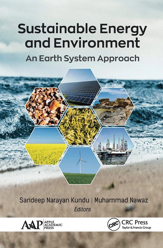
Sustainable Energy and Environment: An Earth System Approach
CRC Press
Sustainable Energy and Environment: An Earth System Approach
CRC Press

Introduction to Web Mapping
Chapman and Hall/CRC
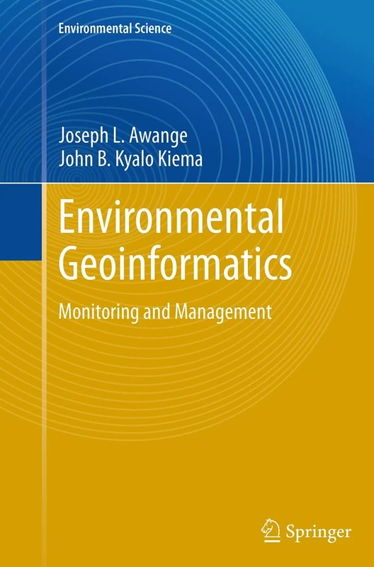
Environmental Geoinformatics: Monitoring and Management (Environmental Science and Engineering)
Springer
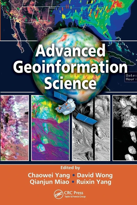
Advanced Geoinformation Science
CRC Press

The Exposed City: Mapping the Urban Invisibles
Routledge
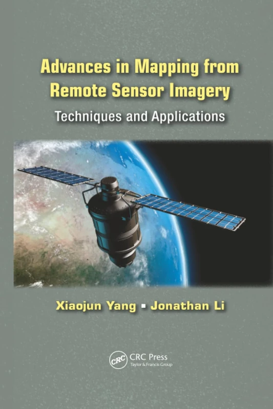
Advances in Mapping from Remote Sensor Imagery: Techniques and Applications
CRC Press
Agriculture, Food and Nutrition Security: A Study of Availability and Sustainability in India
Springer
Dhaka Megacity: Geospatial Perspectives on Urbanisation, Environment and Health (Springer Geography)
Springer
Sustainable Development Goals Connectivity Dilemma: Land and Geospatial Information for Urban and Rural Resilience
CRC Press
Spatial Data Handling in Big Data Era: Select Papers from the 17th IGU Spatial Data Handling Symposium 2016 (Advances in Geographic Information Science)
Springer

From Eye to Heart: Exterior Spaces Explored and Explained
Cognella Academic Publishing
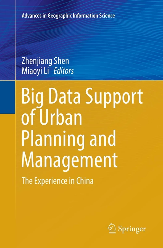
Big Data Support of Urban Planning and Management: The Experience in China (Advances in Geographic Information Science)
Springer
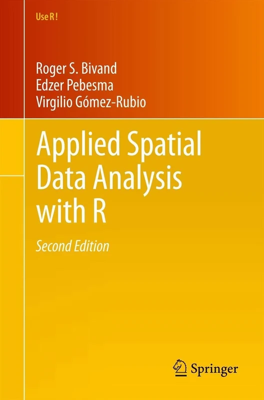
Applied Spatial Data Analysis with R: 10 (Use R!, 10)
Springer
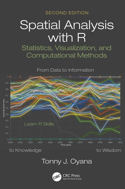
Spatial Analysis with R: Statistics, Visualization, and Computational Methods
CRC Press
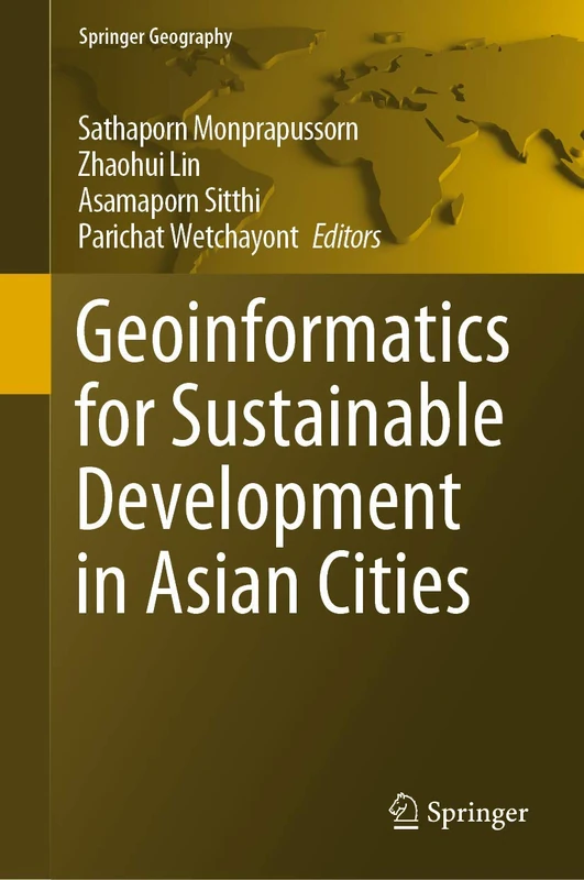
Geoinformatics for Sustainable Development in Asian Cities (Springer Geography)
Springer
Geospatial Technologies for Effective Land Governance (Advances in Geospatial Technologies (AGT))
IGI Global
Geographic Information Science at the Heart of Europe (Lecture Notes in Geoinformation and Cartography)
Springer
Innovations in 3D Geo-Information Sciences (Lecture Notes in Geoinformation and Cartography)
Springer
Spatial Autocorrelation and Spatial Filtering: Gaining Understanding Through Theory and Scientific Visualization (Advances in Spatial Science)
Springer
Advances in Web-based GIS, Mapping Services and Applications: 9 (ISPRS Book Series)
CRC Press
Advances in Web-based GIS, Mapping Services and Applications: 9 (ISPRS Book Series)
CRC Press