We can't find the internet
Attempting to reconnect
Something went wrong
Hang in there while we get back on track

£63.64
Chapman and Hall/CRC Introduction to Web Mapping
Price data last checked 17 day(s) ago - will refresh soon
We'll watch every seller, every day. One email when your price arrives.
This is the most expensive it has ever been. Walk away.
£64 today · previous high £64 · all-time low £62
NEW HERE?
Amazon shows you one price. We show you all of them.
Tosheroon watches Amazon prices so you don't have to. Every product on Amazon has a price history — we make it visible. Set the price you'd actually pay, and we'll email you the second it gets there. No app, no account, one email.
WHAT'S ON THIS PAGE
when this has been cheap or pricey
where the price is heading next
all-time high & low, recent range
name your number, we'll email you
Price History & Forecast
Grey patches = out of stock. Cheaper = lower on the chart. Hover for exact prices.
Last 74 days · 74 data points (no recent data)
Price Distribution
Price distribution over 74 days • 2 price levels
Price Analysis
Most common price: £62 (72 days, 97.3%)
Price range: £62 - £64
Price levels: 2 different prices over 74 days
Description
Product Specifications
- Brand
- Chapman and Hall/CRC
- Format
- paperback
- ASIN
- 0367861186
- Domain
- Amazon UK
- Release Date
- 04 February 2020
- Listed Since
- 05 October 2019
Barcode
No barcode data available
Similar Products You Might Like
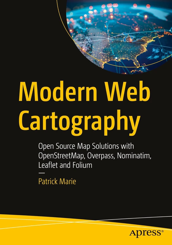
Modern Web Cartography: Open Source Map Solutions with OpenStreetMap, Overpass, Nominatim, Leaflet and Folium
Apress
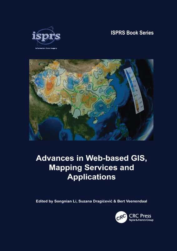
Advances in Web-based GIS, Mapping Services and Applications: 9 (ISPRS Book Series)
CRC Press
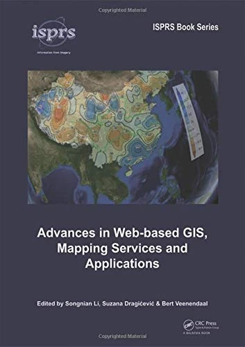
Advances in Web-based GIS, Mapping Services and Applications: 9 (ISPRS Book Series)
CRC Press
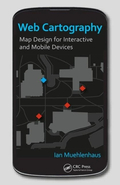
Web Cartography: Map Design for Interactive and Mobile Devices
CRC Press
Introduction to Web Mapping
CRC Press
Machine Learning on Geographical Data Using Python: Introduction into Geodata with Applications and Use Cases
Apress
Geocomputation with Python (Chapman & Hall/CRC The Python Series)
Chapman and Hall/CRC
Cartography: Visualization of Geospatial Data, Fourth Edition
CRC Press
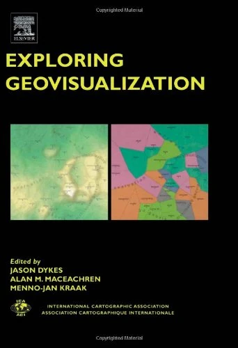
Exploring Geovisualization (International Cartographic Association)
Pergamon
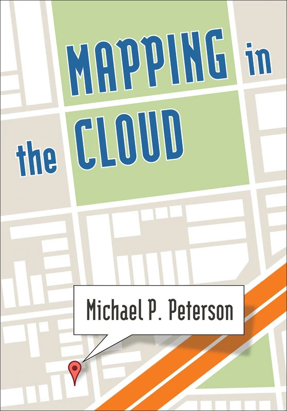
Mapping in the Cloud
Taylor & Francis
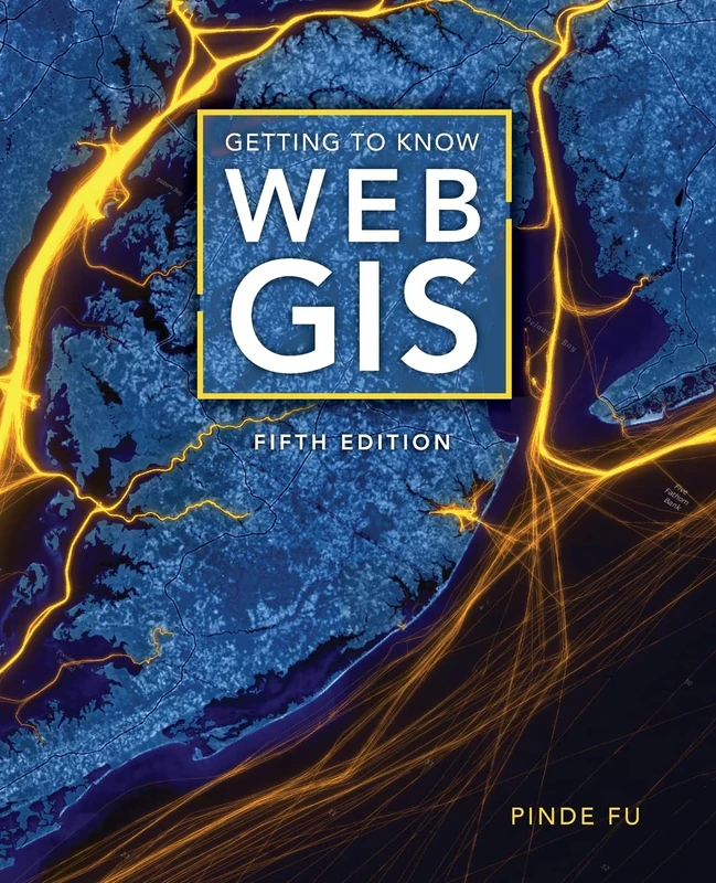
Getting to Know Web GIS
Esri Press
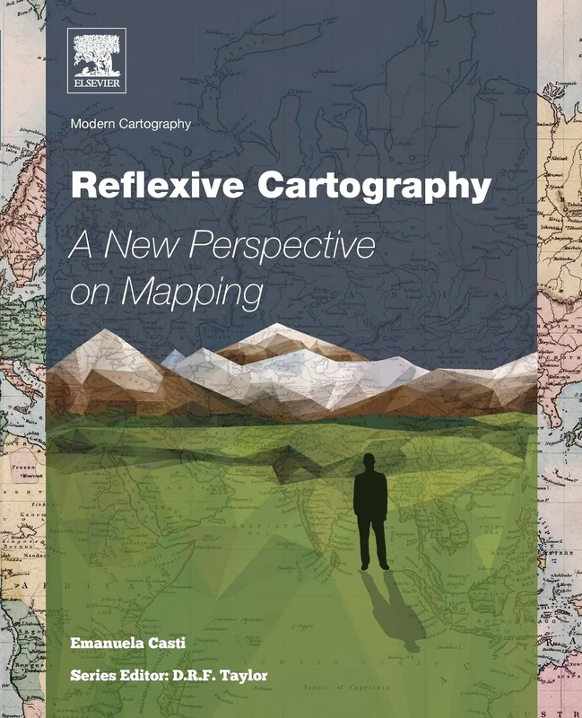
Reflexive Cartography: A New Perspective in Mapping: Volume 6 (Modern Cartography Series, Volume 6)
Elsevier
QGIS Python Programming Cookbook - Second Edition: Automating geospatial development
Packt Publishing
Abstracting Geographic Information in a Data Rich World: Methodologies and Applications of Map Generalisation (Lecture Notes in Geoinformation and Cartography)
Springer
Mastering QGIS - Second Edition: Go beyond the basics and unleash the full power of QGIS with practical, step-by-step examples
Packt Publishing
GIS: A Computing Perspective
CRC Press
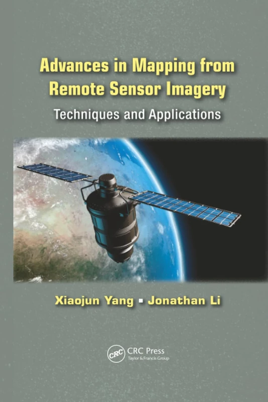
Advances in Mapping from Remote Sensor Imagery: Techniques and Applications
CRC Press
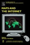
Maps and the Internet
Elsevier
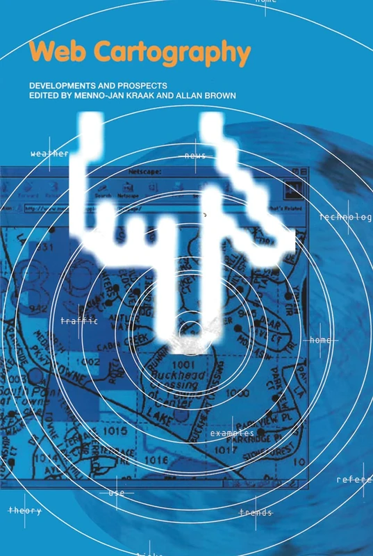
Web Cartography: Developments and Prospects (Geographic Information Systems Workshop)
CRC Press
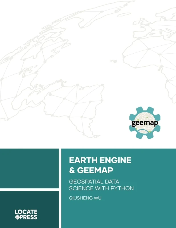
Earth Engine and Geemap: Geospatial Data Science with Python
Locate Press
Practical Handbook of Thematic Cartography: Principles, Methods, and Applications
CRC Press
Advances in Cartography and GIScience: Selections from the International Cartographic Conference 2017 (Lecture Notes in Geoinformation and Cartography)
Springer
Advances in Cartography and GIScience: Selections from the International Cartographic Conference 2017 (Lecture Notes in Geoinformation and Cartography)
Springer
Geographic Information Systems for the Social Sciences: Investigating Space and Place
Sage Publications