£47.17

About as cheap as it gets — within 5% of the all-time low it hit 2 months ago.

£47 today · all-time low £47 (Aug 2026) · usually the usual

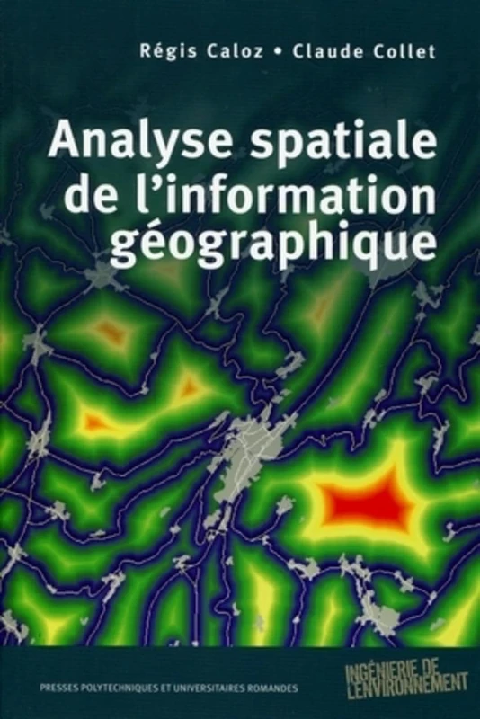
PU POLYTECHNIQU Analyse spatiale de l'information géographique

View at Amazon

Price History & Forecast

Grey patches = out of stock. Cheaper = lower on the chart. Hover for exact prices.

Last 49 days · 49 data points (no recent data)

Historical
Generating forecast…
£47.28 £46.98 £47.05 £47.11 £47.18 £47.24 £47.31 12 August 2026 24 August 2026 05 September 2026 17 September 2026 29 September 2026
View at Amazon ↗

9782880749026

Price data last checked 42 day(s) ago - refreshing...

NEW HERE?

Amazon shows you one price. We show you all of them.

Tosheroon watches Amazon prices so you don't have to. Every product on Amazon has a price history — we make it visible. Set the price you'd actually pay, and we'll email you the second it gets there. No app, no account, one email.

WHAT'S ON THIS PAGE

↑ Price chart
when this has been cheap or pricey
↑ Forecast
where the price is heading next
↓ Statistics
all-time high & low, recent range
↑ Price alert
name your number, we'll email you

Price Distribution

Price distribution over 49 days • 1 price levels

Days at Price
49 days 0 12 25 37 49 £47 Days at Price

Price Analysis

Most common price: £47 (49 days, 100.0%)

Price range: £47 - £47

Price levels: 1 different prices over 49 days

Description

Les systèmes d'information géographique (SIG) caractérisent à la fois un modèle numérisé de l'espace géographique, mais aussi l'ensemble des outils de traitement de l'information associés. Combinant informations géographiques et statistiques, ils permettent un suivi cartographié et quantifié des dynamiques territoriales. La plupart des collectivités publiques ont aujourd'hui achevé l'acquisition et la structuration de ce type de données. Les bases résultantes sont mises à disposition du public et des praticiens, mais la richesse et la diversité des informations qu'elles proposent rendent leur exploitation complexe, dans la mesure où elles requièrent des connaissances développées en analyse spatiale. Cet ouvrage se propose de procurer au lecteur l'ensemble des outils nécessaires à la maîtrise et à l'exploitation de ces méthodes, notamment dans le cadre de la géostatistique appliquée aux phénomènes discrets et continus, de l'analyse du relief, de la formulation de requêtes spatiales, des aptitudes des réseaux (accessibilité et zones d'influence) et des objets zonaux (analyse multivariée associée à l'aide à la décision), de la dynamique spatiale ou de la propagation des incertitudes. - Manuel sans équivalent, couvrant l'ensemble du domaine de l'exploitation des informations spatiales et de leur analyse dans une perspective d'aide à la décision - Très pédagogique : trois niveaux de lecture (bases, compréhension scientifique des phénomènes, méthodes opérationnelles), nombreuses questions de révision et suggestions de lecture en fin de chaque chapitre Clair et didactique, cet ouvrage s'adresse à un large public d'étudiants en géosciences et en sciences de l'environnement, mais aussi de géographes et d'ingénieurs praticiens à la recherche d'un ouvrage de référence.

Product Specifications

Format
paperback
Domain
Amazon UK
Release Date
13 October 2011
Listed Since
20 June 2011

Barcode

No barcode data available

Similar Products You Might Like
Analyse et modélisation des données géospatiales pour la gestion de la qualité de l'eau
85% match

Analyse et modélisation des données géospatiales pour la gestion de la qualité de l'eau

£79.95 29 Aug 2026
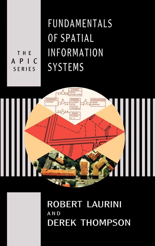
Fundamentals of Spatial Information Systems (Apic Studies in Data Processing)
84% match

Fundamentals of Spatial Information Systems (Apic Studies in Data Processing)

Elsevier
£25.00 25 Oct 2026
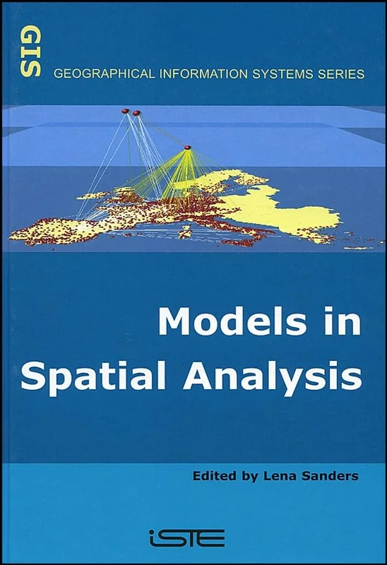
Models in Spatial Analysis (Geographical Information Systems)
83% match

Models in Spatial Analysis (Geographical Information Systems)

Wiley
£23.40 12 Oct 2026
Geoinformation: Remote Sensing, Photogrammetry and Geographical Information Systems
82% match

Geoinformation: Remote Sensing, Photogrammetry and Geographical Information Systems

CRC Press
£125.00 08 Nov 2026
Introdução ao Sistema de Informação Geográfica: Um Livro Guia para Aprendizes de SIG

82% match

Introdução ao Sistema de Informação Geográfica: Um Livro Guia para Aprendizes de SIG

£60.00 14 Sep 2026
SIG dans les glissements de terrain et la sensibilité
82% match

SIG dans les glissements de terrain et la sensibilité

£48.00 14 Sep 2026
Grundlagen der angewandten Geoinformatik
82% match

Grundlagen der angewandten Geoinformatik

£58.00 29 Sep 2026
Spatial Modeling Principles in Earth Sciences
82% match

Spatial Modeling Principles in Earth Sciences

Springer

£111.27 24 Oct 2026
Handbook of Big Geospatial Data
81% match

Handbook of Big Geospatial Data

Springer
£158.49 30 Oct 2026
Geographic Information: How to Find It, How to Use It
81% match

Geographic Information: How to Find It, How to Use It

Bloomsbury
£48.57 31 Aug 2026
Geospatial Technology for Earth Observation
81% match

Geospatial Technology for Earth Observation

Springer
£113.93 03 Nov 2026
Introduzione al sistema informativo geografico: Una guida per gli studenti GIS
81% match

Introduzione al sistema informativo geografico: Una guida per gli studenti GIS

£60.00 15 Sep 2026
Advances in 3D Geoinformation Systems (Lecture Notes in Geoinformation and Cartography)
81% match

Advances in 3D Geoinformation Systems (Lecture Notes in Geoinformation and Cartography)

Springer
£149.83 23 Oct 2026
Innovations in 3D Geo Information Systems (Lecture Notes in Geoinformation and Cartography)
81% match

Innovations in 3D Geo Information Systems (Lecture Notes in Geoinformation and Cartography)

Springer
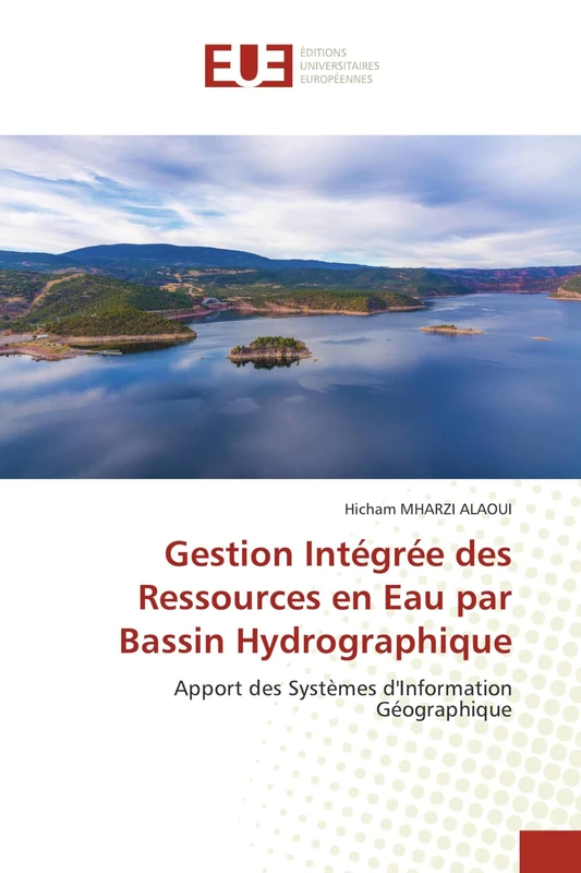
£148.21 25 Oct 2026
Gestion Intégrée des Ressources en Eau par Bassin Hydrographique: Apport des Systèmes d'Information Géographique
81% match

Gestion Intégrée des Ressources en Eau par Bassin Hydrographique: Apport des Systèmes d'Information Géographique

ÉDITIONS UNIVERSITAIRES EUROPÉENNES
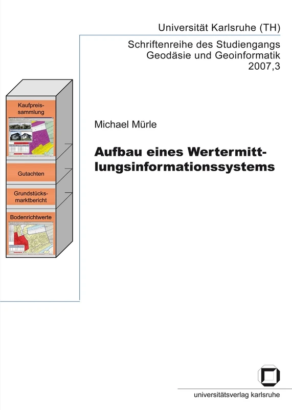
£62.00 29 Sep 2026
Aufbau eines Wertermittlungsinformationssystems
81% match

Aufbau eines Wertermittlungsinformationssystems

£42.80 14 Sep 2026
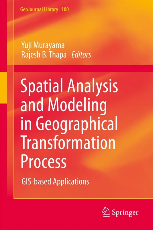
Spatial Analysis and Modeling in Geographical Transformation Process: GIS-based Applications: 100 (GeoJournal Library, 100)
81% match

Spatial Analysis and Modeling in Geographical Transformation Process: GIS-based Applications: 100 (GeoJournal Library, 100)

Springer

£109.25 21 Oct 2026
Intelligent Spatial Decision Support Systems (Advances in Spatial Science)
81% match

Intelligent Spatial Decision Support Systems (Advances in Spatial Science)

Springer
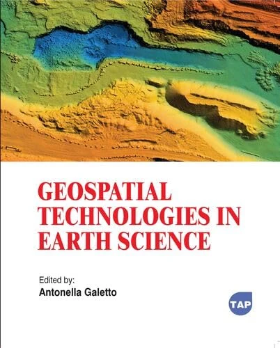
£76.42 21 Oct 2026
Geospatial Technologies in Earth Science
81% match

Geospatial Technologies in Earth Science

Toronto Academic Press
£77.66 31 Aug 2026
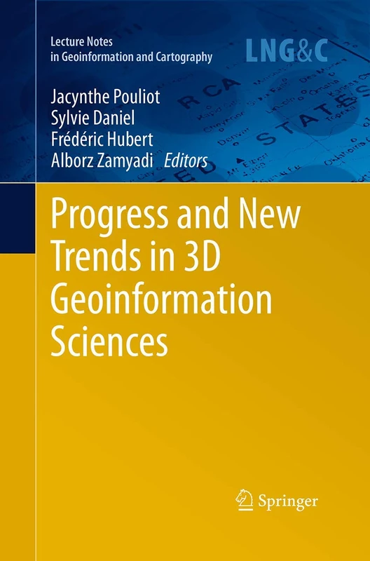
Progress and New Trends in 3D Geoinformation Sciences (Lecture Notes in Geoinformation and Cartography)
81% match

Progress and New Trends in 3D Geoinformation Sciences (Lecture Notes in Geoinformation and Cartography)

Springer
£114.88 22 Oct 2026
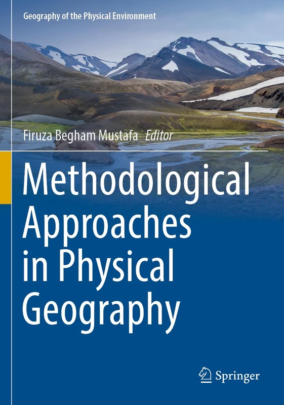
Methodological Approaches in Physical Geography (Geography of the Physical Environment)
81% match

Methodological Approaches in Physical Geography (Geography of the Physical Environment)

Springer
£40.51 15 Sep 2026
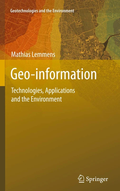
Geo-information: Technologies, Applications and the Environment: 5 (Geotechnologies and the Environment, 5)
81% match

Geo-information: Technologies, Applications and the Environment: 5 (Geotechnologies and the Environment, 5)

Springer
£144.34 24 Oct 2026
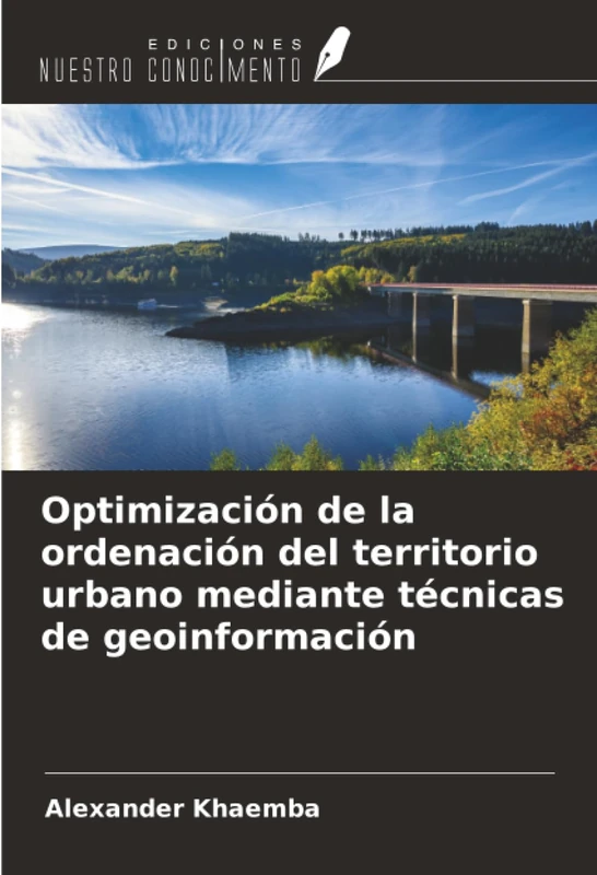
Optimización de la ordenación del territorio urbano mediante técnicas de geoinformación
81% match

Optimización de la ordenación del territorio urbano mediante técnicas de geoinformación

£48.00 14 Sep 2026
Advances in Spatial Data Handling and GIS: 14th International Symposium on Spatial Data Handling (Lecture Notes in Geoinformation and Cartography)
81% match

Advances in Spatial Data Handling and GIS: 14th International Symposium on Spatial Data Handling (Lecture Notes in Geoinformation and Cartography)

Springer

£109.72 24 Oct 2026