We can't find the internet
Attempting to reconnect
Something went wrong
Hang in there while we get back on track
£48.00
It has never been this cheap. We have no record of a lower price.
£48 today · cheaper than every other day in the last 3 months
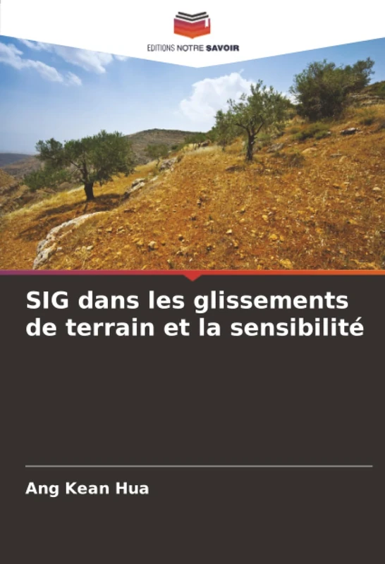
SIG dans les glissements de terrain et la sensibilité
We'll watch every seller, every day. One email when your price arrives.
Price History & Forecast
Grey patches = out of stock. Cheaper = lower on the chart. Hover for exact prices.
Last 34 days · 34 data points (no recent data)
NEW HERE?
Amazon shows you one price. We show you all of them.
Tosheroon watches Amazon prices so you don't have to. Every product on Amazon has a price history — we make it visible. Set the price you'd actually pay, and we'll email you the second it gets there. No app, no account, one email.
WHAT'S ON THIS PAGE
when this has been cheap or pricey
where the price is heading next
all-time high & low, recent range
name your number, we'll email you
Price Distribution
Price distribution over 34 days • 1 price levels
Price Analysis
Most common price: £48 (34 days, 100.0%)
Price range: £48 - £48
Price levels: 1 different prices over 34 days
Description
Product Specifications
- Format
- paperback
- ASIN
- 6202425873
- Domain
- Amazon UK
- Release Date
- 15 September 2025
- Listed Since
- 16 September 2025
Barcode
No barcode data available
Similar Products You Might Like
Évaluation de la vulnérabilité aux glissements de terrain et des mécanismes institutionnels: de réduction des risques dans le district de Manafwa, en Ouganda
Terrigenous Mass Movements: Detection, Modelling, Early Warning and Mitigation Using Geoinformation Technology
Springer
Semi-quantitative Approaches for Landslide Assessment and Prediction (Springer Natural Hazards)
Springer
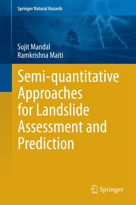
Semi-quantitative Approaches for Landslide Assessment and Prediction (Springer Natural Hazards)
Springer
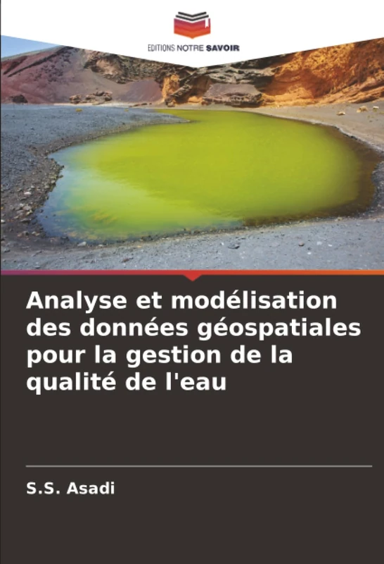
Analyse et modélisation des données géospatiales pour la gestion de la qualité de l'eau

Slope Earthquake Stability
Springer

L'utilisation de la télédétection et des SIG pour mieux comprendre les inondations urbaines

Slope Earthquake Stability: Dynamic Characteristics and Assessment of Two-side Slopes
Springer

Advances in 3D Geoinformation Systems (Lecture Notes in Geoinformation and Cartography)
Springer
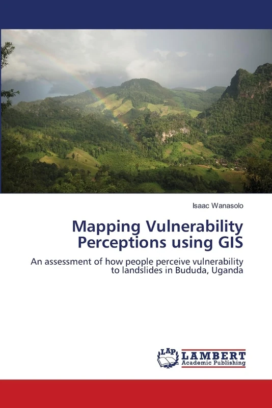
Mapping Vulnerability Perceptions using GIS: An assessment of how people perceive vulnerability to landslides in Bududa, Uganda
LAP Lambert Academic Publishing

Modélisation de l'adéquation des sites pour le développement urbain: Utilisation de la télédétection, des SIG et des AHP

Hillslope Form
Routledge

Progress and New Trends in 3D Geoinformation Sciences (Lecture Notes in Geoinformation and Cartography)
Springer

Application du SIG pour déterminer les sites appropriés pour les rizeries automatiques

Aufbau eines Wertermittlungsinformationssystems

Stability Analysis of Earth Slopes
Springer

Landslide Risk: Assessment, Management & Reduction (Environmental Science, Engineering and Technology)
Price unavailable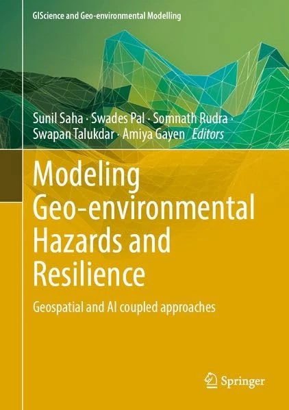
Modeling Geo-environmental Hazards and Resilience: Geospatial and AI coupled approaches (GIScience and Geo-environmental Modelling)
Springer

Slope Stochastic Dynamics
Springer

Optimisation du tracé des autoroutes et priorisation de l'entretien: Intégration de la gestion des risques de catastrophes en bordure de route

Landslides in Sensitive Clays: From Geosciences to Risk Management: 36 (Advances in Natural and Technological Hazards Research, 36)
Springer
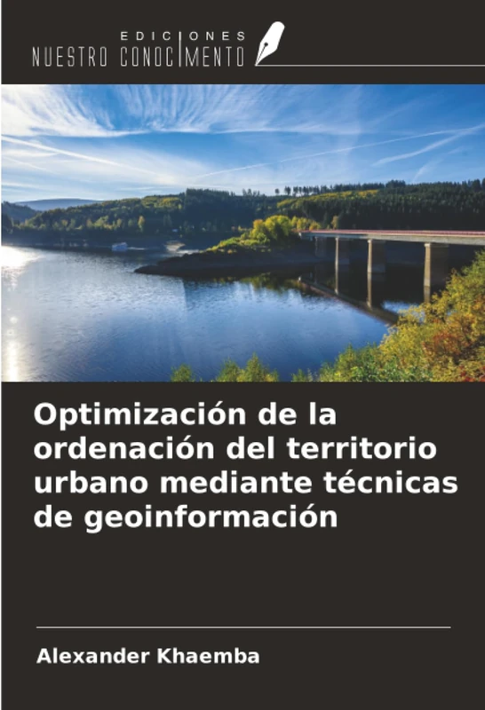
Optimización de la ordenación del territorio urbano mediante técnicas de geoinformación

Innovations in 3D Geo Information Systems (Lecture Notes in Geoinformation and Cartography)
Springer

Advances in 3D Geo-Information Sciences (Lecture Notes in Geoinformation and Cartography)
Springer