We can't find the internet
Attempting to reconnect
Something went wrong!
Hang in there while we get back on track
£55.57
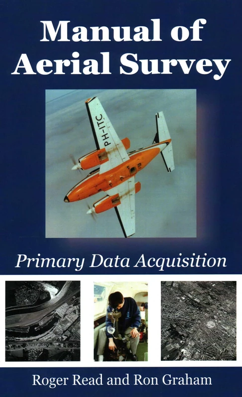
Whittles Manual of Aerial Survey: Primary Data Acquisition
Price data last checked 62 day(s) ago - refreshing...
We'll watch every seller, every day. One email when your price arrives.
This is the most expensive it has ever been. Walk away.
£56 today · previous high £56 · all-time low £56
NEW HERE?
Amazon shows you one price. We show you all of them.
Tosheroon watches Amazon prices so you don't have to. Every product on Amazon has a price history — we make it visible. Set the price you'd actually pay, and we'll email you the second it gets there. No app, no account, one email.
WHAT'S ON THIS PAGE
when this has been cheap or pricey
where the price is heading next
all-time high & low, recent range
name your number, we'll email you
Price History & Forecast
Grey patches = out of stock. Cheaper = lower on the chart. Hover for exact prices.
Last 29 days • 29 data points (No recent data available)
Price Distribution
Price distribution over 29 days • 1 price levels
Price Analysis
Most common price: £56 (29 days, 100.0%)
Price range: £56 - £56
Price levels: 1 different prices over 29 days
Description
Product Specifications
- Brand
- Whittles
- Format
- paperback
- ASIN
- 1849952868
- Domain
- Amazon UK
- Release Date
- 02 August 2016
- Listed Since
- 30 June 2016
Barcode
No barcode data available
Similar Products You Might Like
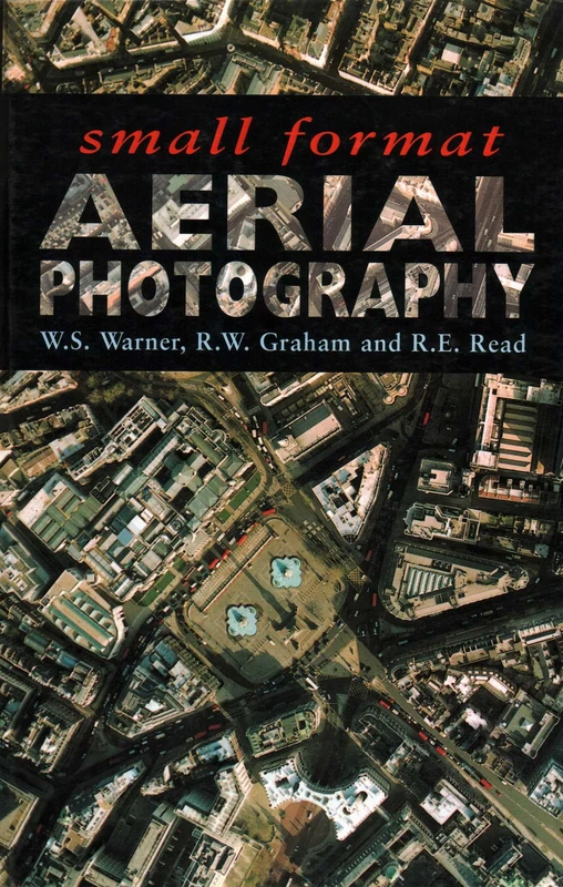
Small Format Aerial Photography
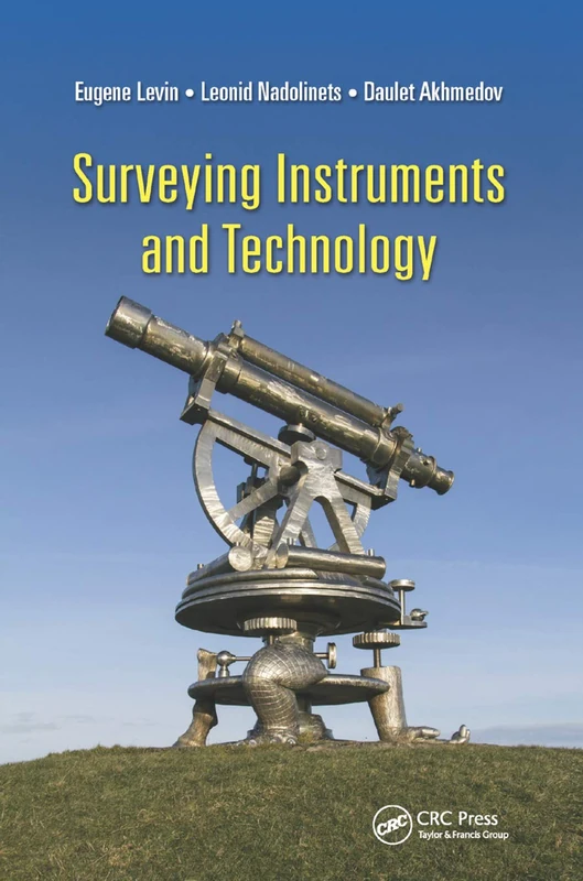
Surveying Instruments and Technology
CRC Press
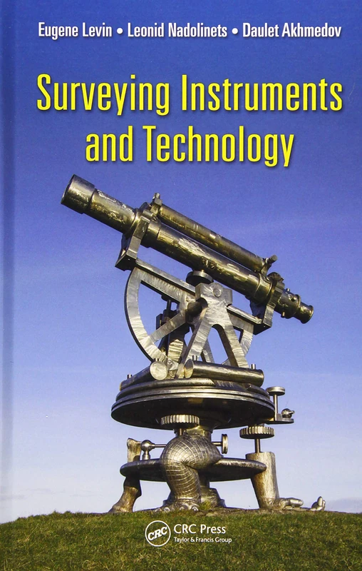
Surveying Instruments and Technology
CRC Press
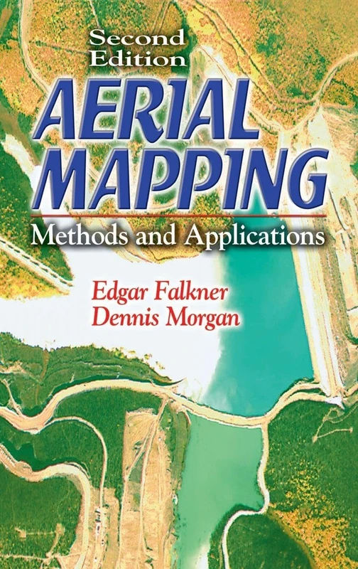
Aerial Mapping: Methods and Applications, Second Edition (Mapping Science)
CRC Press
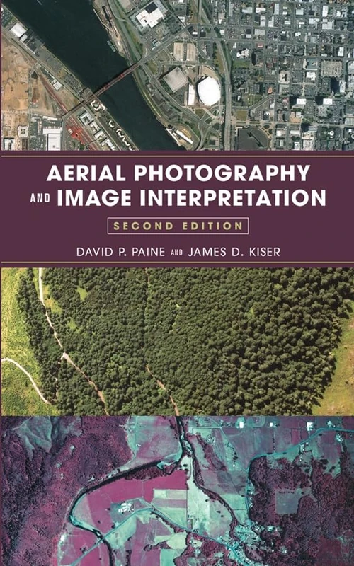
Aerial Photography and Image Interpretation
Wiley
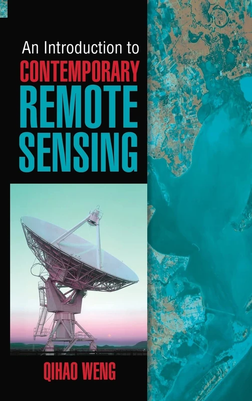
An Introduction to Contemporary Remote Sensing (ELECTRONICS)
McGraw-Hill Education

Geographical Data Acquisition
Springer

The Aerial Photo Sourcebook
Scarecrow Press
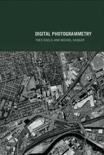
Digital Photogrammetry
CRC Press

Proceedings of UASG 2019: Unmanned Aerial System in Geomatics: 51 (Lecture Notes in Civil Engineering, 51)
Springer

Proceedings of UASG 2019: Unmanned Aerial System in Geomatics: 51 (Lecture Notes in Civil Engineering, 51)
Springer
Digital Photogrammetry
CRC Press
Unmanned Aerial Remote Sensing: UAS for Environmental Applications
CRC Press
Advanced Remote Sensing: Terrestrial Information Extraction and Applications
Academic Press
Surveying with Geomatics and R
CRC Press
Remote Sensing Physics: An Introduction to Observing Earth from Space (AGU Advanced Textbooks)
American Geophysical Union
Applications of Small Unmanned Aircraft Systems: Best Practices and Case Studies
CRC Press
Advances in Aerial Sensing and Imaging
Photogrammetrie: Geometrische Informationen aus Photographien und Laserscanneraufnahmen (De Gruyter Lehrbuch)
De Gruyter
Introduction to Remote Sensing
CRC Press
Engineering Surveying
CRC Press
Archaeological Prospecting and Remote Sensing: 2 (Topics in Remote Sensing, Series Number 2)
Cambridge University Press
Academic Press Advanced Remote Sensing - 2nd Edition Book
Academic Press
Elementary Surveying: An Introduction to Geomatics: United States Edition
PEARSON EDUCATION