We can't find the internet
Attempting to reconnect
Something went wrong
Hang in there while we get back on track
£52.50
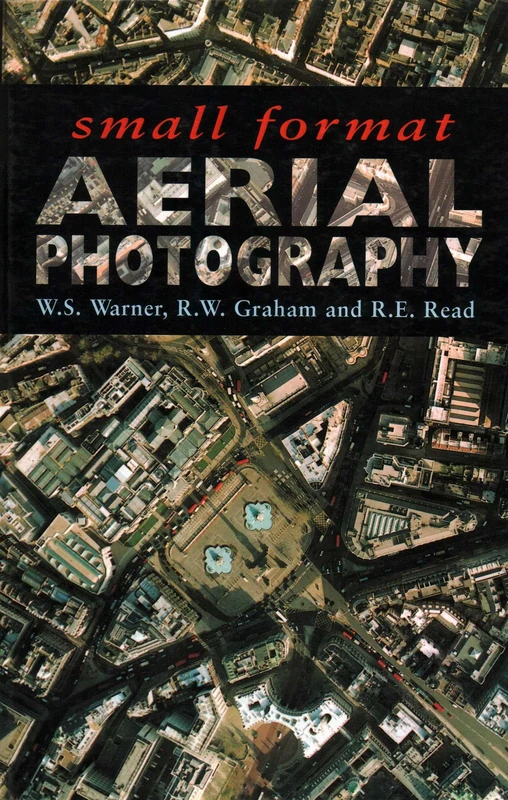
Small Format Aerial Photography
74 illustrations, 140line drawings, colo
Price data last checked 18 day(s) ago - will refresh soon
We'll watch every seller, every day. One email when your price arrives.
It has never been this cheap. We have no record of a lower price.
£53 today · cheaper than every other day in the last 3 months
NEW HERE?
Amazon shows you one price. We show you all of them.
Tosheroon watches Amazon prices so you don't have to. Every product on Amazon has a price history — we make it visible. Set the price you'd actually pay, and we'll email you the second it gets there. No app, no account, one email.
WHAT'S ON THIS PAGE
when this has been cheap or pricey
where the price is heading next
all-time high & low, recent range
name your number, we'll email you
Price History & Forecast
Grey patches = out of stock. Cheaper = lower on the chart. Hover for exact prices.
Last 73 days · 73 data points (no recent data)
Price Distribution
Price distribution over 73 days • 1 price levels
Price Analysis
Most common price: £53 (73 days, 100.0%)
Price range: £53 - £53
Price levels: 1 different prices over 73 days
Description
Product Specifications
- Format
- hardcover
- ASIN
- 1870325567
- Domain
- Amazon UK
- Release Date
- 27 June 1998
- Listed Since
- 22 January 2007
Barcode
No barcode data available
Similar Products You Might Like
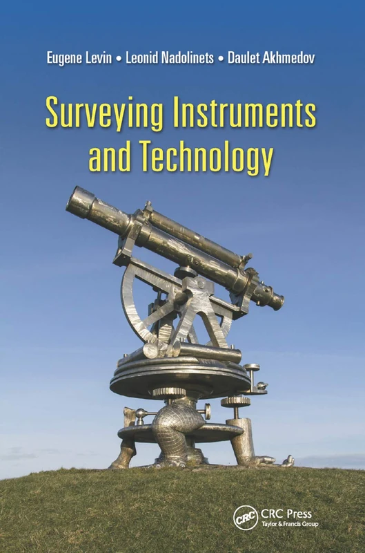
Surveying Instruments and Technology
CRC Press
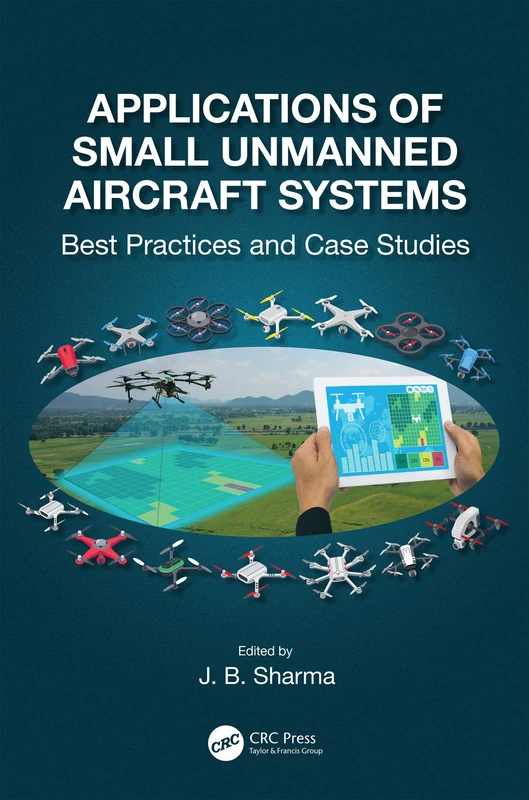
Applications of Small Unmanned Aircraft Systems: Best Practices and Case Studies
CRC Press
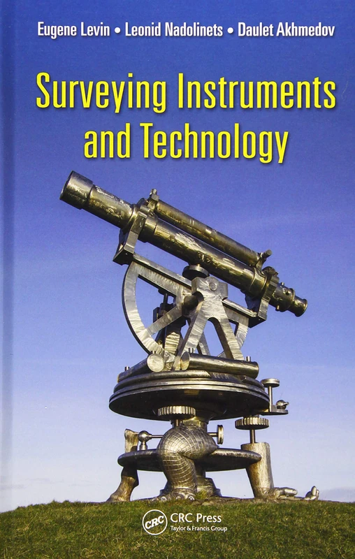
Surveying Instruments and Technology
CRC Press
Unmanned Aerial Remote Sensing: UAS for Environmental Applications
CRC Press
Aeroscopics: Media of the Bird’s-Eye View
University of California Press
Volcanic and Igneous Plumbing Systems: Understanding Magma Transport, Storage, and Evolution in the Earth’s Crust
Elsevier

Proceedings of UASG 2019: Unmanned Aerial System in Geomatics: 51 (Lecture Notes in Civil Engineering, 51)
Springer

Proceedings of UASG 2019: Unmanned Aerial System in Geomatics: 51 (Lecture Notes in Civil Engineering, 51)
Springer
UAV Photogrammetry and Remote Sensing
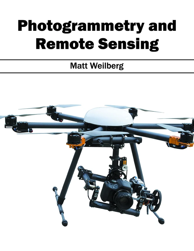
Photogrammetry and Remote Sensing
Syrawood Publishing House
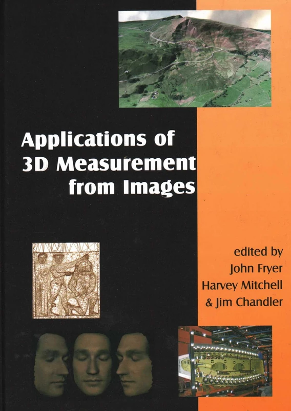
Applications of 3D Measurement from Images
Whittles
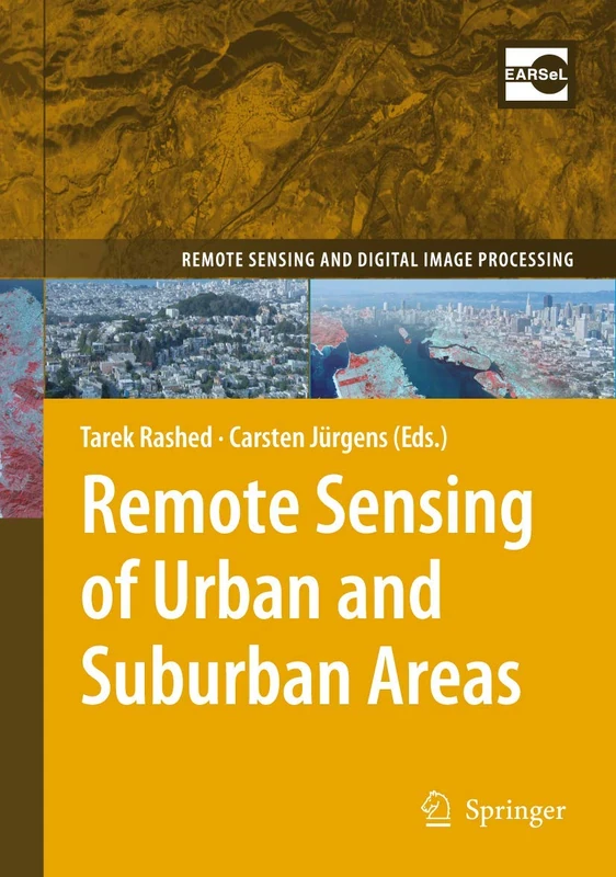
Remote Sensing of Urban and Suburban Areas: 10 (Remote Sensing and Digital Image Processing, 10)
Springer
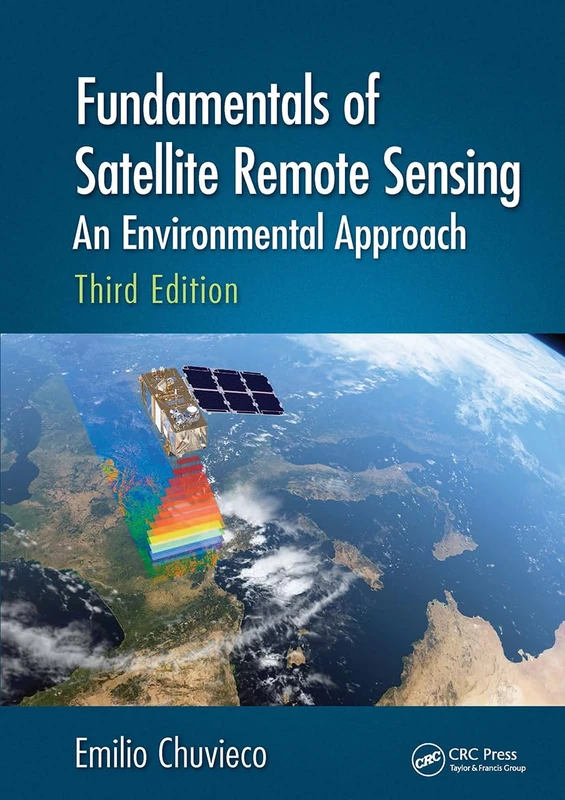
Fundamentals of Satellite Remote Sensing: An Environmental Approach, Third Edition
CRC Press

Aerial Access Networks: Integration of UAVs, HAPs, and Satellites
Cambridge University Press
Advances in Mapping from Remote Sensor Imagery: Techniques and Applications
CRC Press
Elementary Surveying: An Introduction to Geomatics: United States Edition
PEARSON EDUCATION
sUAS Applications in Geography: 24 (Geotechnologies and the Environment, 24)
Springer
Unmanned Aerial Systems for Monitoring Soil, Vegetation, and Riverine Environments (Earth Observation)
Elsevier
Theory, Design, and Applications of Unmanned Aerial Vehicles
CRC Press
Digital Photogrammetry: A Practical Course
Springer
Remote Sensed Data and Processing Methodologies for 3D Virtual Reconstruction and Visualization of Complex Architectures
MDPI AG
Fundamentals of Capturing and Processing Drone Imagery and Data
CRC Press