We can't find the internet
Attempting to reconnect
Something went wrong
Hang in there while we get back on track
£79.68
De Gruyter Photogrammetrie: Geometrische Informationen aus Photographien und Laserscanneraufnahmen (De Gruyter Lehrbuch)
230fig.
Price data last checked 81 day(s) ago - refreshing...
We'll watch every seller, every day. One email when your price arrives.
It has never been this cheap. We have no record of a lower price.
£80 today · cheaper than every other day in the last 3 months
NEW HERE?
Amazon shows you one price. We show you all of them.
Tosheroon watches Amazon prices so you don't have to. Every product on Amazon has a price history — we make it visible. Set the price you'd actually pay, and we'll email you the second it gets there. No app, no account, one email.
WHAT'S ON THIS PAGE
when this has been cheap or pricey
where the price is heading next
all-time high & low, recent range
name your number, we'll email you
Price History & Forecast
Grey patches = out of stock. Cheaper = lower on the chart. Hover for exact prices.
Last 10 days · 10 data points (no recent data)
Price Distribution
Price distribution over 10 days • 1 price levels
Price Analysis
Most common price: £80 (10 days, 100.0%)
Price range: £80 - £80
Price levels: 1 different prices over 10 days
Description
Product Specifications
- Brand
- De Gruyter
- Model
- 230fig.
- Format
- hardcover
- ASIN
- 3110177080
- Domain
- Amazon UK
- Release Date
- 15 March 2004
- Listed Since
- 10 December 2006
Barcode
No barcode data available
Similar Products You Might Like

Proceedings of UASG 2019: Unmanned Aerial System in Geomatics: 51 (Lecture Notes in Civil Engineering, 51)
Springer

Proceedings of UASG 2019: Unmanned Aerial System in Geomatics: 51 (Lecture Notes in Civil Engineering, 51)
Springer
Springer - A New Target Detector Based on Geometrical Perturbation
Springer
Digital Photogrammetry: A Practical Course
Springer
Assessing the Accuracy of Remotely Sensed Data: Principles and Practices, Third Edition
CRC Press
Advances in Mapping from Remote Sensor Imagery: Techniques and Applications
CRC Press

Geoinformation: Remote Sensing, Photogrammetry and Geographic Information Systems, Second Edition
CRC Press
Small Flying Drones: Applications for Geographic Observation
Springer

Remote Sensing Handbook, Volume I: Sensors, Data Normalization, Harmonization, Cloud Computing, and Accuracies: 1
CRC Press
Understanding Least Squares Estimation and Geomatics Data Analysis
Wiley

Vermessungskunde: 1 (Handbibliothek für Bauingenieure, 1)
Springer
UAV Photogrammetry and Remote Sensing
Comprehensive Remote Sensing
Elsevier
Remote Sensed Data and Processing Methodologies for 3D Virtual Reconstruction and Visualization of Complex Architectures
MDPI AG
Geometrical Geodesy: Using Information and Computer Technology
Springer
Digital Photogrammetry
CRC Press
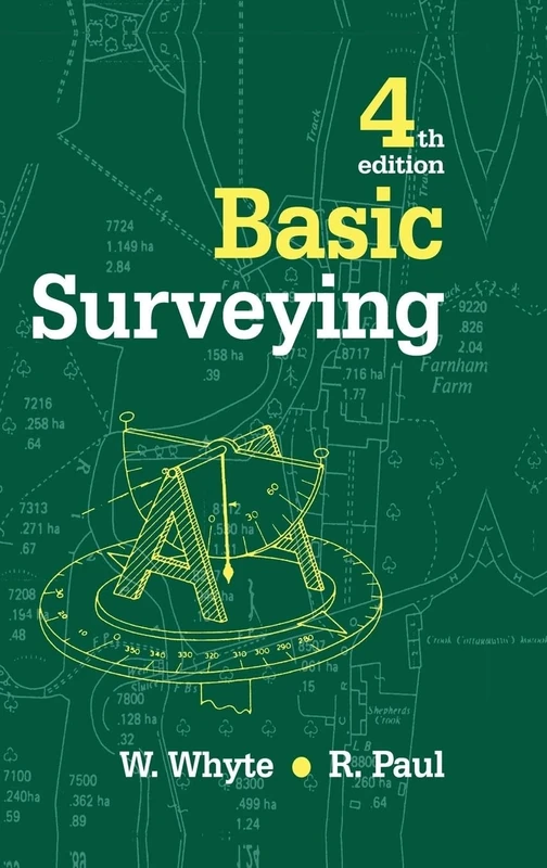
Basic Surveying
Routledge
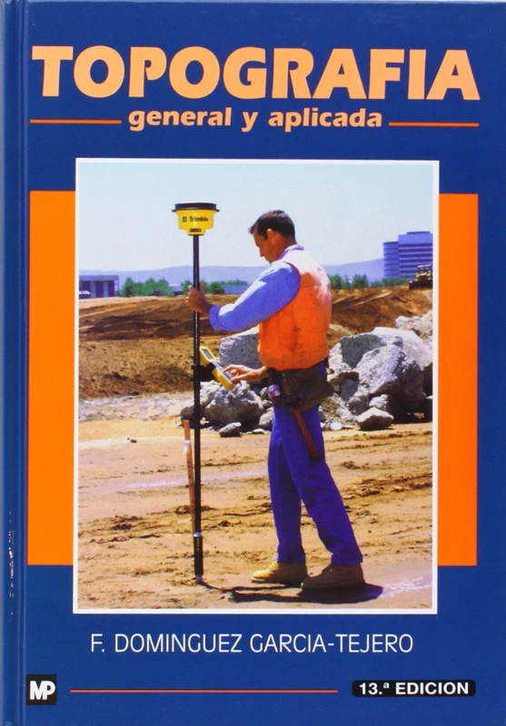
Topografia General y Aplicada
Ediciones Mundi-Prensa
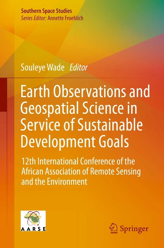
Earth Observations and Geospatial Science in Service of Sustainable Development Goals: 12th International Conference of the African Association of ... and the Environment (Southern Space Studies)
Springer

CRC Press Fundamentals of Satellite Remote Sensing Book
CRC Press
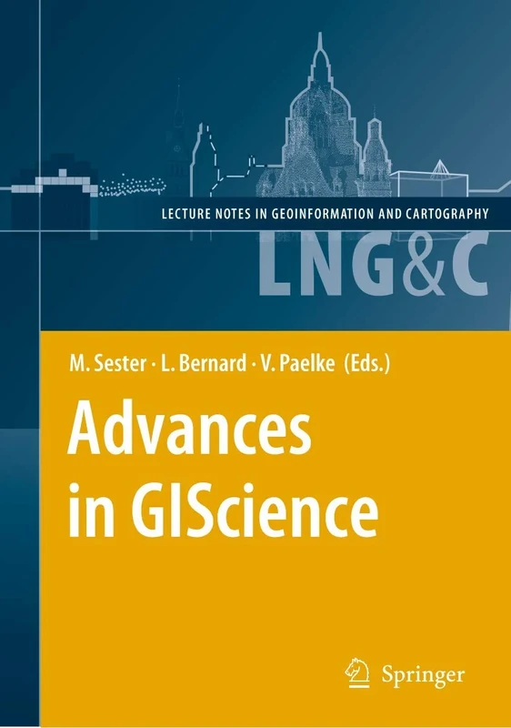
Advances in GIScience: Proceedings of the 12th AGILE Conference (Lecture Notes in Geoinformation and Cartography)
Springer
Radar Interferometry: Data Interpretation and Error Analysis: 2 (Remote Sensing and Digital Image Processing, 2)
Springer
Photogrammetry and Remote Sensing
Syrawood Publishing House
Manual of Remote Sensing, Remote Sensing for the Earth Sciences (Manual of Remote Sensing, 3rd Edition)
Wiley