We can't find the internet
Attempting to reconnect
Something went wrong!
Hang in there while we get back on track
£14.40
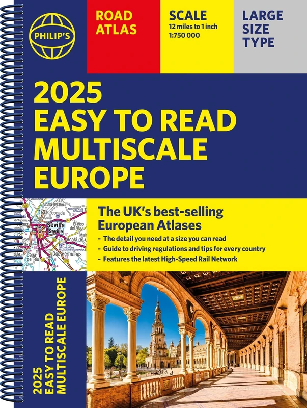
Philip's 2025 Philip's Easy to Read Multiscale Road Atlas Europe: (A4 Spiral binding) (Philip's Road Atlases)
Price data last checked 138 day(s) ago - refreshing...
We'll watch every seller, every day. One email when your price arrives.
This is the most expensive it has ever been. Walk away.
£14 today · previous high £14 · all-time low £11
NEW HERE?
Amazon shows you one price. We show you all of them.
Tosheroon watches Amazon prices so you don't have to. Every product on Amazon has a price history — we make it visible. Set the price you'd actually pay, and we'll email you the second it gets there. No app, no account, one email.
WHAT'S ON THIS PAGE
when this has been cheap or pricey
where the price is heading next
all-time high & low, recent range
name your number, we'll email you
Price History & Forecast
Grey patches = out of stock. Cheaper = lower on the chart. Hover for exact prices.
Last 541 days • 541 data points (No recent data available)
Price Distribution
Price distribution over 541 days • 4 price ranges
Price Analysis
Most common range: £14-14 (278 days, 51.4%)
Price range: £11 - £14
Price levels: 4 price ranges over 541 days
Description
Key Features
New Store Stock
Product Specifications
- Brand
- Philip's
- Format
- Spiral-bound
- ASIN
- 184907660X
- Domain
- Amazon UK
- Release Date
- 04 April 2024
- Listed Since
- 15 December 2023
Barcode
No barcode data available
Similar Products You Might Like

2025 Philip's Big Road Atlas of Europe: (A3 Spiral Binding) (Philip's Road Atlases)
Philip's
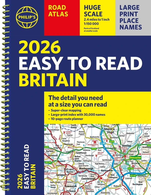
2026 Philip's Easy to Read Road Atlas of Britain: (A4 Spiral Bound) (Philip's Road Atlases)
Philip's
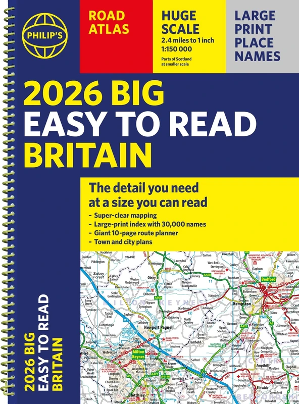
2026 Philip's Big Easy to Read Britain Road Atlas: (A3 Spiral) (Philip's Road Atlases)

2025 Philip's Big Easy to Read Britain Road Atlas: (A3 Spiral Binding) (Philip's Road Atlases)
Philip's
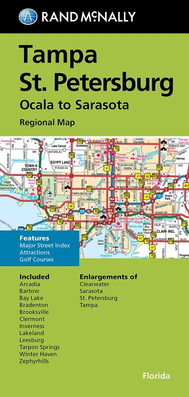
FM TAMPA / ST. PETE FL REGIONAL
Rand McNally

France 2025 - Michelin National Map 721: Map
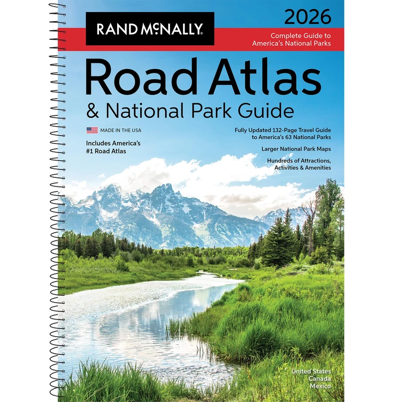
2026 National Park Atlas & Guide: Ratg (Rand McNally Road Atlas & National Park Guides)
Rand McNally
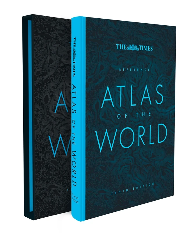
The Times Reference Atlas of the World
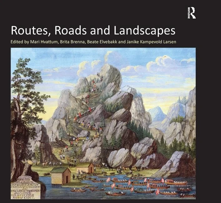
Routes, Roads and Landscapes
Routledge
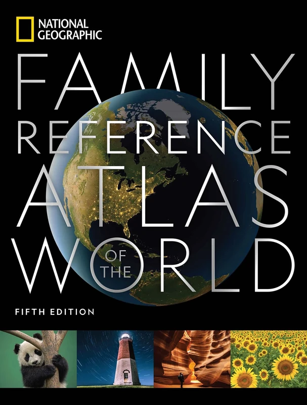
National Geographic Family Reference Atlas, 5th Edition (National Geographic Family Reference Atlas of the World)
National Geographic
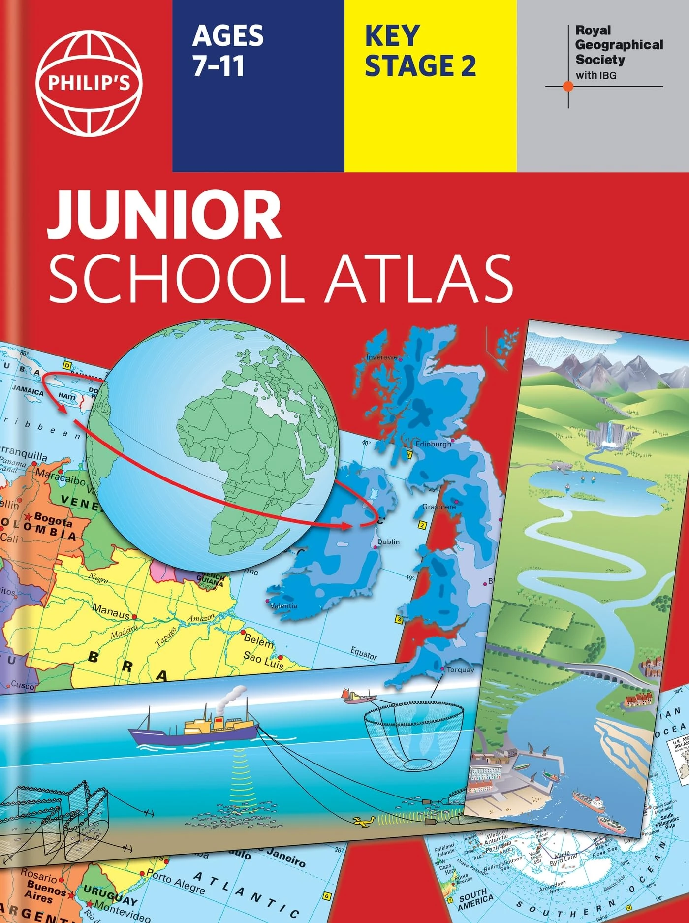
Philip's RGS Junior School Atlas: 12th edition HB (Philip's World Atlas)
Philip's
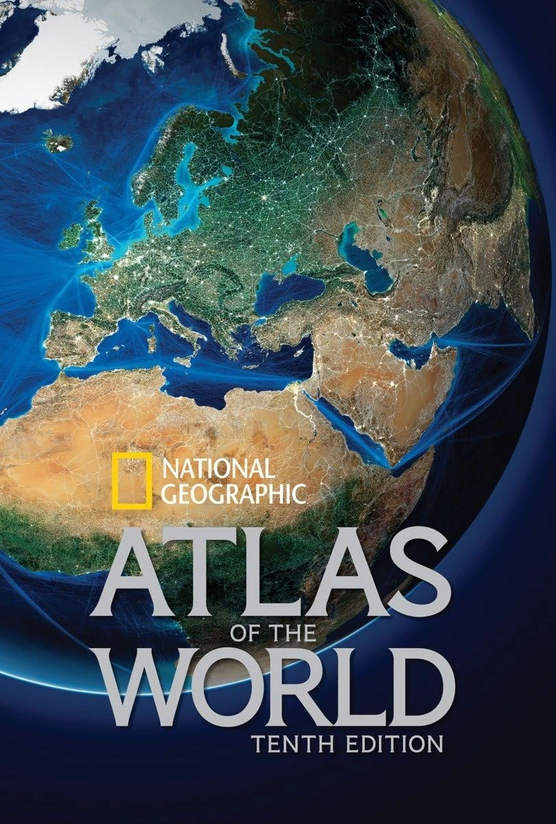
National Geographic Atlas of the World, Tenth Edition
National Geographic

Philip's RGS Atlas of the World: 2026 edition (Philip's World Atlas)
Philip's