We can't find the internet
Attempting to reconnect
Something went wrong!
Hang in there while we get back on track
£36.89
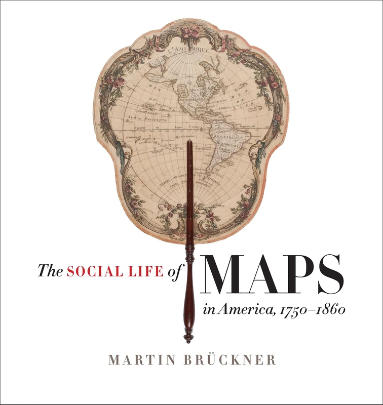
University of North Carolina Press The Social Life of Maps in America, 1750-1860 (Published for the Omohundro Institute of Early American History and Culture, Williamsburg, Virginia) ... and the University of North Carolina Press)
Price data last checked 47 day(s) ago - refreshing...
We'll watch every seller, every day. One email when your price arrives.
It has never been this cheap. We have no record of a lower price.
£37 today · cheaper than every other day in the last 3 months
NEW HERE?
Amazon shows you one price. We show you all of them.
Tosheroon watches Amazon prices so you don't have to. Every product on Amazon has a price history — we make it visible. Set the price you'd actually pay, and we'll email you the second it gets there. No app, no account, one email.
WHAT'S ON THIS PAGE
when this has been cheap or pricey
where the price is heading next
all-time high & low, recent range
name your number, we'll email you
Price History & Forecast
Grey patches = out of stock. Cheaper = lower on the chart. Hover for exact prices.
Last 44 days • 44 data points (No recent data available)
Price Distribution
Price distribution over 44 days • 2 price levels
Price Analysis
Most common price: £39 (42 days, 95.5%)
Price range: £37 - £39
Price levels: 2 different prices over 44 days
Description
Product Specifications
- Format
- hardcover
- ASIN
- 1469632608
- Domain
- Amazon UK
- Release Date
- 30 November 2017
- Listed Since
- 11 March 2017
Barcode
No barcode data available
Similar Products You Might Like
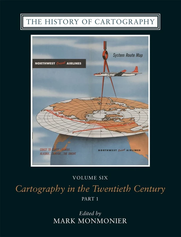
The History of Cartography, V 6 – Cartography in the Twentieth Century
University of Chicago Press
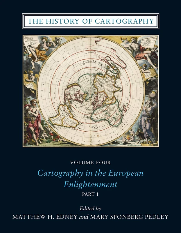
The History of Cartography, Volume 4 – Cartography in the European Enlightenment
University of Chicago Press
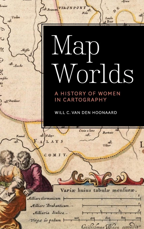
Map Worlds: A History of Women in Cartography
Wilfrid Laurier University Press
History of Cartography
Routledge
The Library of Lost Maps
Bloomsbury
Thinking with Maps: Understanding the World through Spatialization
Rowman & Littlefield Publishers
The History of Cartography – Volume 2, Book 3, Cartography in the Traditional African, American, Arctic, Australian, & Pacific Societes: 02
University of Chicago Press
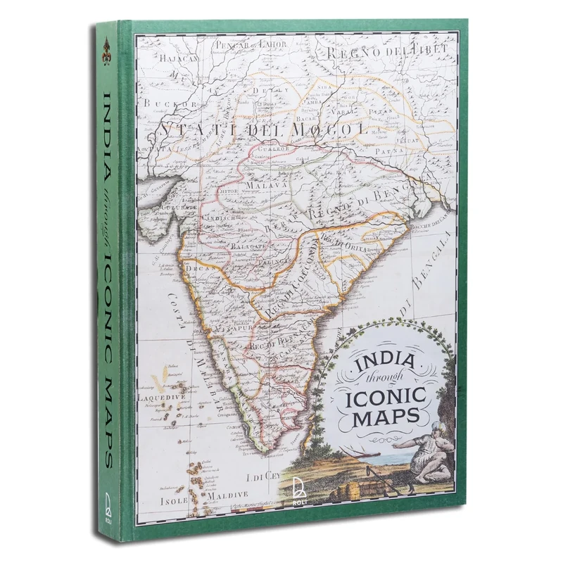
India Through Iconic Maps
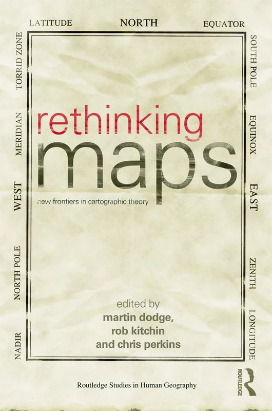
Rethinking Maps: New Frontiers in Cartographic Theory (Routledge Studies in Human Geography)
Routledge
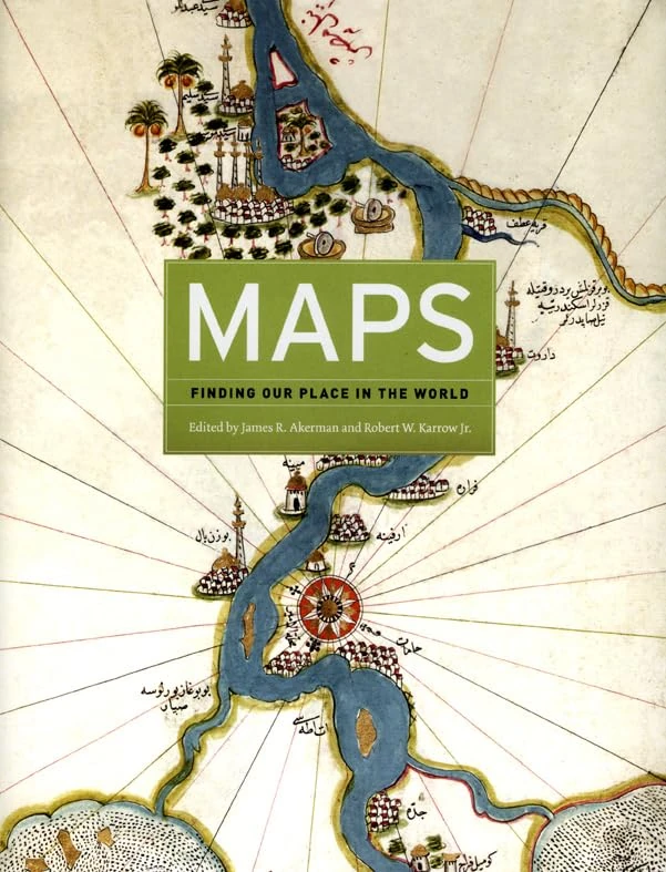
Maps – Finding Our Place in the World
University of Chicago Press

Intellectual and Imaginative Cartographies in Early Modern England (Routledge Studies in Renaissance and Early Modern Worlds of Knowledge)
Routledge
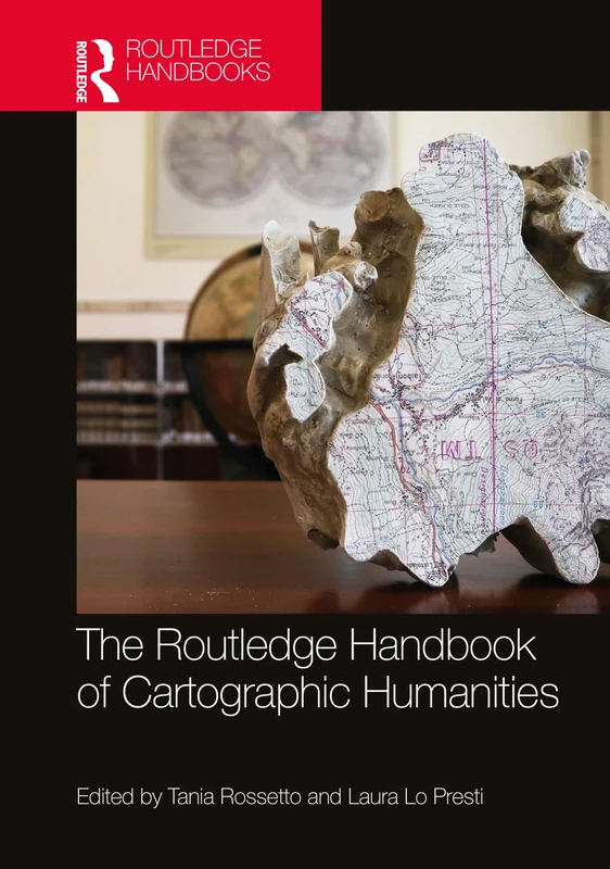
The Routledge Handbook of Cartographic Humanities
Routledge
The Routledge Handbook of Mapping and Cartography
Routledge
The Mapmakers' World: A Cultural History of the European World Map
Casemate

Maps and the Internet
Elsevier
Springer Modern Trends in Cartography - CARTOCON 2014 Papers
Springer
History of Cartography: International Symposium of the ICA Commission, 2010 (Lecture Notes in Geoinformation and Cartography)
Springer
The Routledge Handbook of Mapping and Cartography
Routledge
Rethinking the Power of Maps
Taylor & Francis
Maps and the 20th Century: Drawing the Line
British Library
How Maps Work: Representation, Visualization, and Design
The Guilford Press
World Mapping Today
De Gruyter Saur
Brill Cartography in Antiquity and the Middle Ages - Book 10
Brill
Maps that Made History: 1000 Years of World History in 100 Old Maps
LANNOO