We can't find the internet
Attempting to reconnect
Something went wrong!
Hang in there while we get back on track
£111.62
Brill Cartography in Antiquity and the Middle Ages - Book 10
Price data last checked 98 day(s) ago - refreshing...
We'll watch every seller, every day. One email when your price arrives.
About as cheap as it gets. The only time it was cheaper was 1 year ago.
£112 today · all-time low £109 (Feb 2025) · usually the usual
NEW HERE?
Amazon shows you one price. We show you all of them.
Tosheroon watches Amazon prices so you don't have to. Every product on Amazon has a price history — we make it visible. Set the price you'd actually pay, and we'll email you the second it gets there. No app, no account, one email.
WHAT'S ON THIS PAGE
when this has been cheap or pricey
where the price is heading next
all-time high & low, recent range
name your number, we'll email you
Price History & Forecast
Grey patches = out of stock. Cheaper = lower on the chart. Hover for exact prices.
Last 633 days • 633 data points (No recent data available)
Price Distribution
Price distribution over 633 days • 5 price levels
Price Analysis
Most common price: £114 (183 days, 28.9%)
Price range: £109 - £114
Price levels: 5 different prices over 633 days
Description
Key Features
Provides updated research that follows the seminal work of Brian Harley and David Woodward.
Includes thirteen contributions from leading classicists and medievalists across Europe and North America.
Examines the relationship between the study of antiquity and the Middle Ages through a specialized lens.
Offers a guide to future research directions in the field of historical cartography.
Part of the Technology and Change in History series, volume 10, for academic study.
Product Specifications
- Brand
- Brill
- Format
- hardcover
- ASIN
- 9004166637
- Domain
- Amazon UK
- Release Date
- 25 July 2008
- Listed Since
- 12 May 2008
Barcode
No barcode data available
Similar Products You Might Like

The History of Cartography V 1: Cartography in Prehistoric, Ancient, and Medieval Europe and the Mediterranean
University of Chicago Press
History of Cartography: International Symposium of the ICA, 2012 (Lecture Notes in Geoinformation and Cartography)
Springer
The History of Cartography, V 6 – Cartography in the Twentieth Century
University of Chicago Press
Dissemination of Cartographic Knowledge: 6th International Symposium of the ICA Commission on the History of Cartography, 2016 (Lecture Notes in Geoinformation and Cartography)
Springer
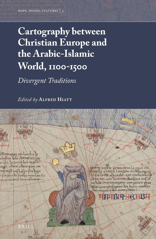
Cartography between Christian Europe and the Arabic-Islamic World, 1100-1500: Divergent Traditions: 3 (Maps, Spaces, Cultures, 3)
Brill
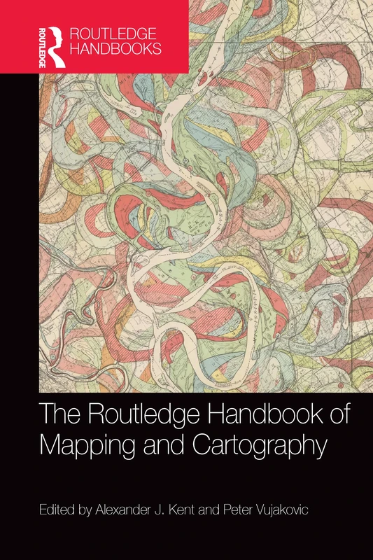
The Routledge Handbook of Mapping and Cartography
Routledge
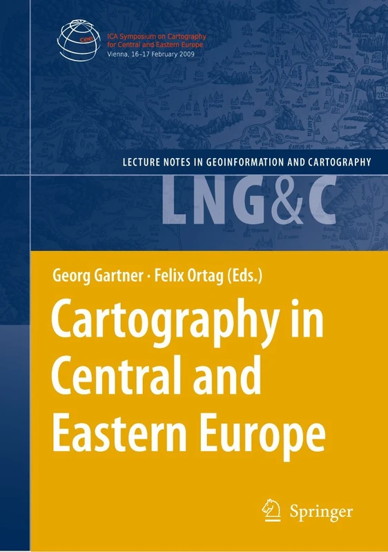
Cartography in Central and Eastern Europe: Selected Papers of the 1st ICA Symposium on Cartography for Central and Eastern Europe (Lecture Notes in Geoinformation and Cartography)
Springer
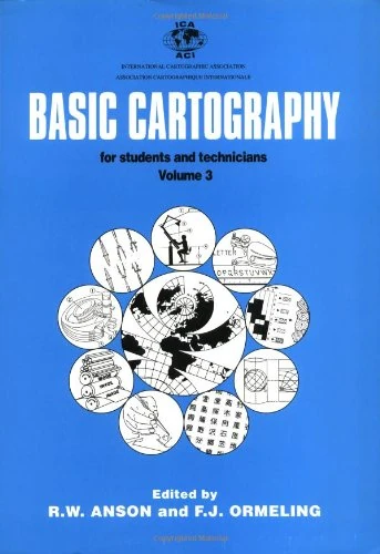
Basic Cartography Volume 3: For Students and Technicians
Butterworth-Heinemann
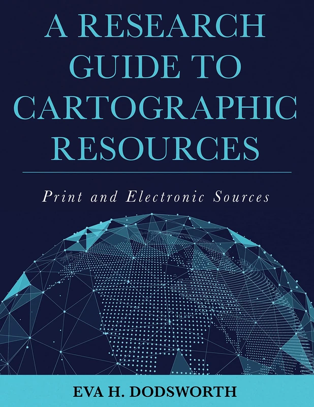
A Research Guide to Cartographic Resources: Print and Electronic Sources
Rowman & Littlefield Publishers
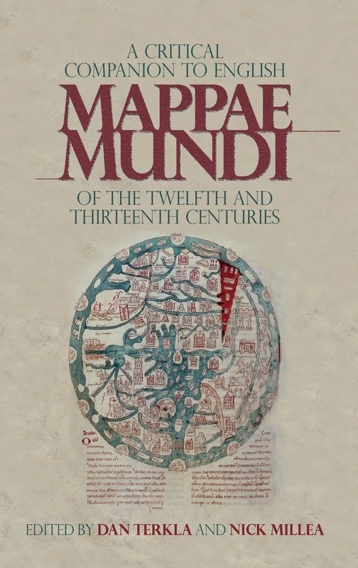
A Critical Companion to English Mappae Mundi of the Twelfth and Thirteenth Centuries: 17 (Boydell Studies in Medieval Art and Architecture)
Boydell Press
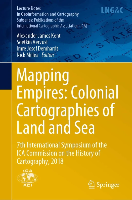
Mapping Empires: Colonial Cartographies of Land and Sea: 7th International Symposium of the ICA Commission on the History of Cartography, 2018 (Lecture Notes in Geoinformation and Cartography)
Springer
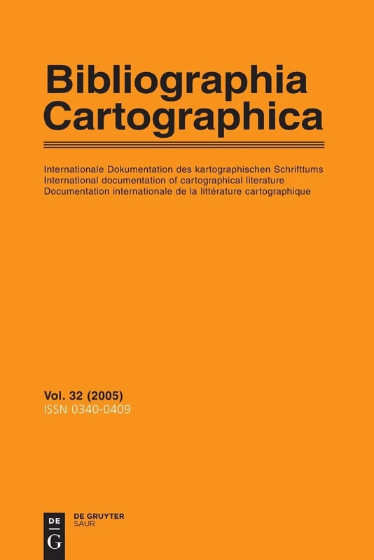
2005: v.32/2005: Internationale Dokumentation des Kartographischen schrifttums/International Documentation of Cartographical literature/Documentation ... Cartographique (Bibliographia Cartographica)
De Gruyter Saur

Cartography in Central and Eastern Europe: Selected Papers of the 1st ICA Symposium on Cartography for Central and Eastern Europe (Lecture Notes in Geoinformation and Cartography)
Springer

Mapping Asia: Cartographic Encounters Between East and West: Regional Symposium of the ICA Commission on the History of Cartography, 2017 (Lecture Notes in Geoinformation and Cartography)
Springer
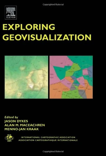
Exploring Geovisualization (International Cartographic Association)
Pergamon
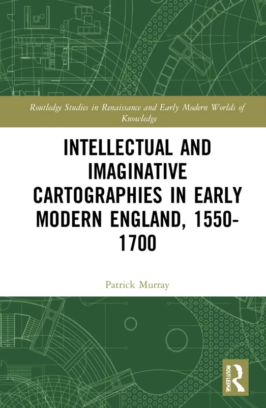
Intellectual and Imaginative Cartographies in Early Modern England (Routledge Studies in Renaissance and Early Modern Worlds of Knowledge)
Routledge
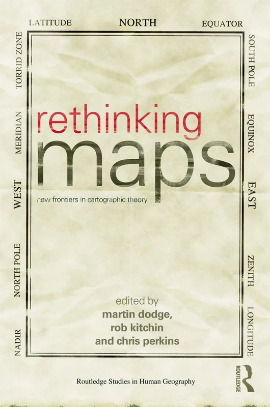
Rethinking Maps: New Frontiers in Cartographic Theory (Routledge Studies in Human Geography)
Routledge
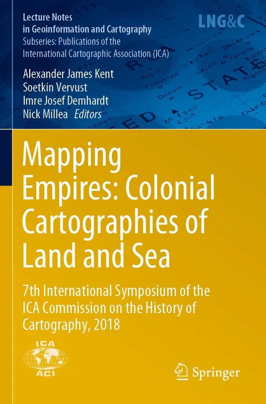
Mapping Empires: Colonial Cartographies of Land and Sea: 7th International Symposium of the ICA Commission on the History of Cartography, 2018 (Lecture Notes in Geoinformation and Cartography)
Springer
Maps and the Internet
Elsevier
Advances in Cartography and GIScience: Selections from the International Cartographic Conference 2017 (Lecture Notes in Geoinformation and Cartography)
Springer
Advances in Cartography and GIScience: Selections from the International Cartographic Conference 2017 (Lecture Notes in Geoinformation and Cartography)
Springer
The History of Cartography – Volume 2, Book 3, Cartography in the Traditional African, American, Arctic, Australian, & Pacific Societes: 02
University of Chicago Press
Thematic Cartography and Geovisualization: International Student Edition
CRC Press
Web Cartography: Map Design for Interactive and Mobile Devices
CRC Press