We can't find the internet
Attempting to reconnect
Something went wrong!
Hang in there while we get back on track
£40.00
British Library Maps and the 20th Century: Drawing the Line
Price data last checked 78 day(s) ago - refreshing...
We'll watch every seller, every day. One email when your price arrives.
It has never been this cheap. We have no record of a lower price.
£40 today · cheaper than every other day in the last 3 months
NEW HERE?
Amazon shows you one price. We show you all of them.
Tosheroon watches Amazon prices so you don't have to. Every product on Amazon has a price history — we make it visible. Set the price you'd actually pay, and we'll email you the second it gets there. No app, no account, one email.
WHAT'S ON THIS PAGE
when this has been cheap or pricey
where the price is heading next
all-time high & low, recent range
name your number, we'll email you
Price History & Forecast
Grey patches = out of stock. Cheaper = lower on the chart. Hover for exact prices.
Last 13 days • 13 data points (No recent data available)
Price Distribution
Price distribution over 13 days • 1 price levels
Price Analysis
Most common price: £40 (13 days, 100.0%)
Price range: £40 - £40
Price levels: 1 different prices over 13 days
Description
Key Features
British Library
Product Specifications
- Brand
- British Library
- Format
- hardcover
- ASIN
- 0712356622
- Domain
- Amazon UK
- Release Date
- 03 November 2016
- Listed Since
- 24 March 2016
Barcode
No barcode data available
Similar Products You Might Like
The History of Cartography, V 6 – Cartography in the Twentieth Century
University of Chicago Press
Maps International Giant World Map - 201cm x 116.5cm Laminated
Maps International
The The Library of Lost Maps
Bloomsbury
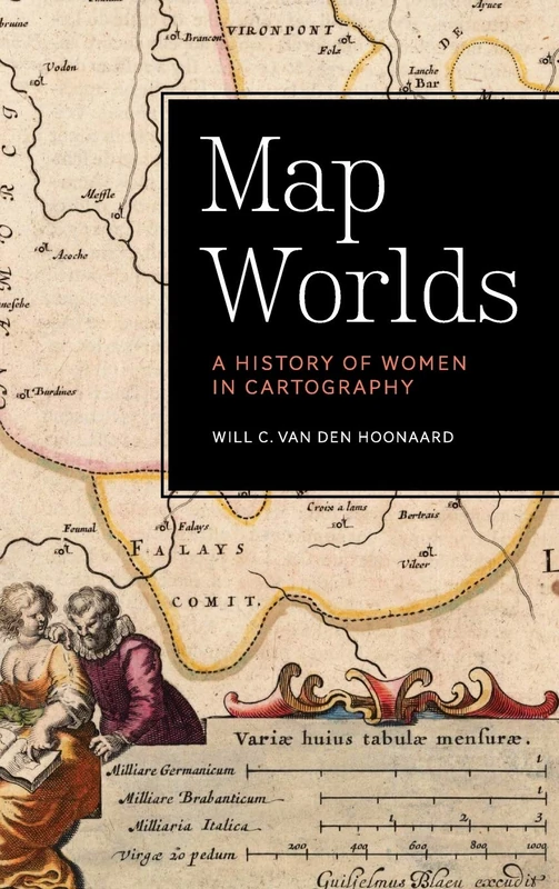
Map Worlds: A History of Women in Cartography
Wilfrid Laurier University Press
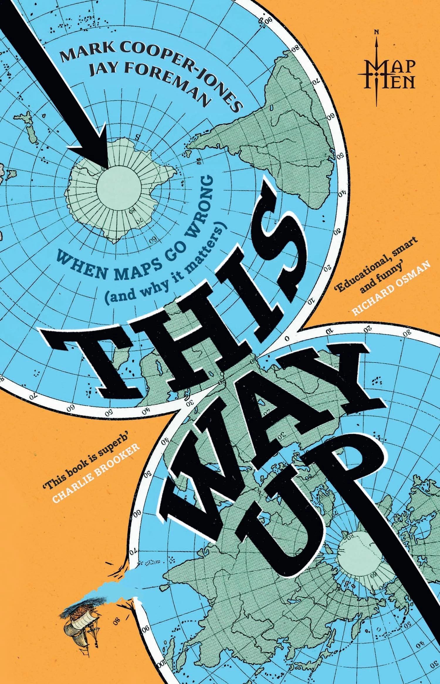
This Way Up by The Map Men - Sunday Times Bestseller Book
Mudlark
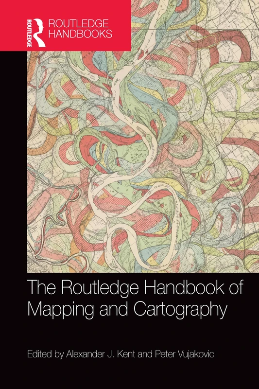
The Routledge Handbook of Mapping and Cartography
Routledge
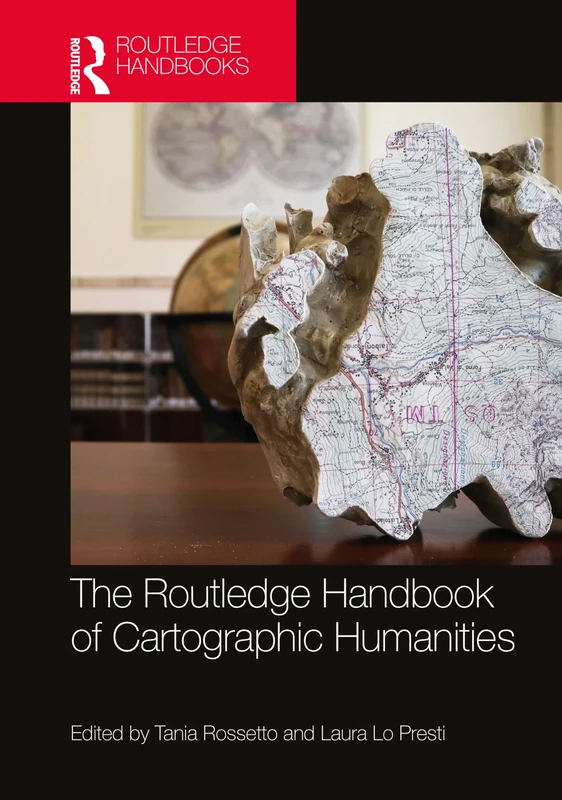
The Routledge Handbook of Cartographic Humanities
Routledge
Map Men – Transnational Lives and Deaths of Geographers in the Making of East Central Europe
University of Chicago Press
The Social Life of Maps in America, 1750-1860 (Published for the Omohundro Institute of Early American History and Culture, Williamsburg, Virginia) ... and the University of North Carolina Press)
University of North Carolina Press
India Through Iconic Maps
Acc Art Books
Maps that Made History: 1000 Years of World History in 100 Old Maps
Acc Art Books
Springer Modern Trends in Cartography - CARTOCON 2014 Papers
Springer
Maps – Finding Our Place in the World
University of Chicago Press
World Mapping Today
De Gruyter Saur
National Geographic Atlas of the World, Tenth Edition
National Geographic
Maps and Related Cartographic Materials: Cataloging, Classification, and Bibliographic Control
Routledge
The Map Library in New Millennium
ALA Editions
The Routledge Handbook of Mapping and Cartography
Routledge
Rethinking Maps: New Frontiers in Cartographic Theory (Routledge Studies in Human Geography)
Routledge
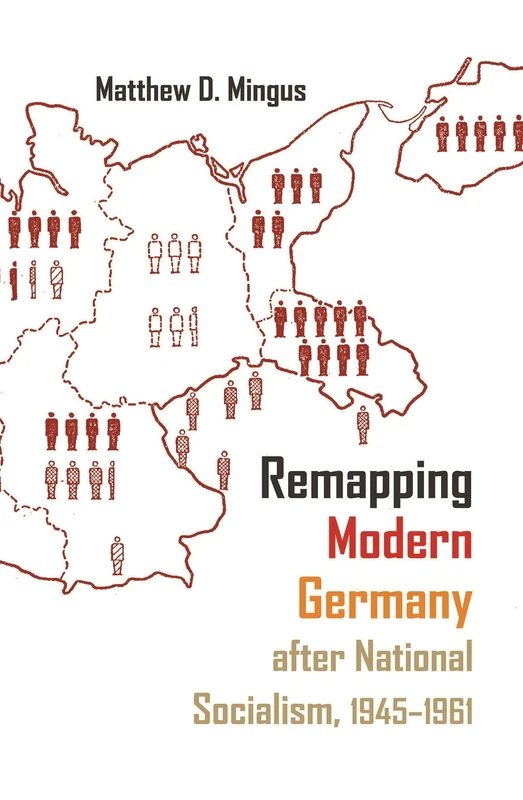
Remapping Modern Germany after National Socialism, 1945-1961 (Syracuse Studies in Geography)
Syracuse University Press
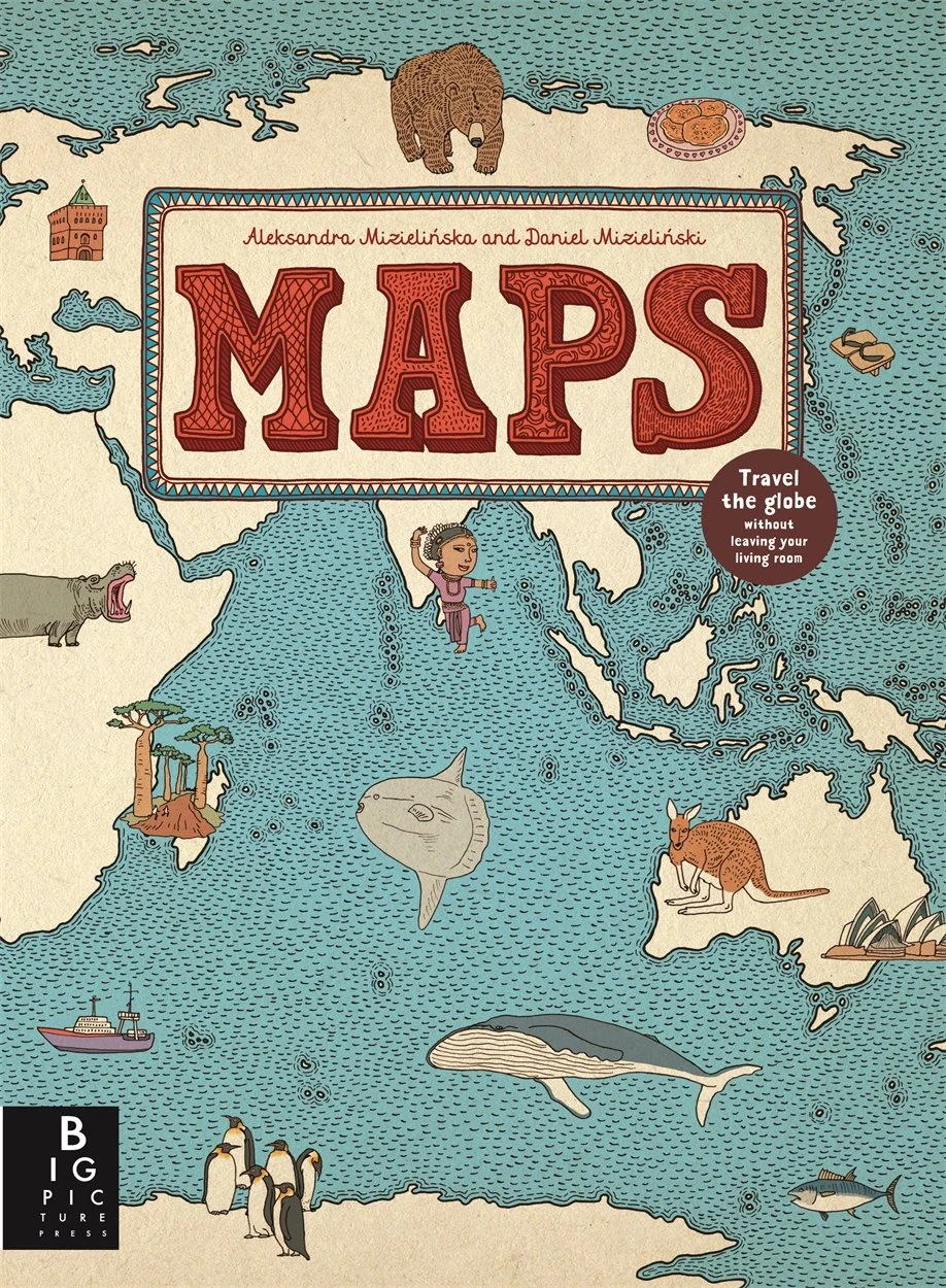
Maps: Aleksandra Mizielinska - Daniel Mizielinski
Big Picture Press
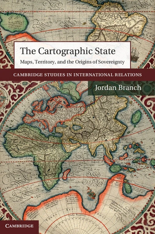
The Cartographic State: Maps, Territory, and the Origins of Sovereignty: 127 (Cambridge Studies in International Relations, Series Number 127)
Cambridge University Press
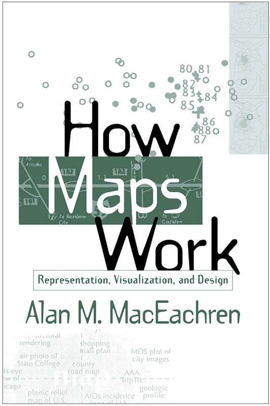
How Maps Work: Representation, Visualization, and Design
The Guilford Press
The Times Reference Atlas of the World
Times Books