We can't find the internet
Attempting to reconnect
Something went wrong!
Hang in there while we get back on track
£17.65
Big Picture Press Maps: Aleksandra Mizielinska - Daniel Mizielinski
Price data last checked 131 day(s) ago - refreshing...
We'll watch every seller, every day. One email when your price arrives.
This is the usual price. Wait for it to drop, or tell us your number.
£18 today · usual range £0–£0 · best ever £16
NEW HERE?
Amazon shows you one price. We show you all of them.
Tosheroon watches Amazon prices so you don't have to. Every product on Amazon has a price history — we make it visible. Set the price you'd actually pay, and we'll email you the second it gets there. No app, no account, one email.
WHAT'S ON THIS PAGE
when this has been cheap or pricey
where the price is heading next
all-time high & low, recent range
name your number, we'll email you
Price History & Forecast
Grey patches = out of stock. Cheaper = lower on the chart. Hover for exact prices.
Last 600 days • 600 data points (No recent data available)
Price Distribution
Price distribution over 600 days • 5 price ranges
Price Analysis
Most common range: £16-17 (245 days, 40.8%)
Price range: £16 - £19
Price levels: 5 price ranges over 600 days
Description
Product Specifications
- Brand
- Big Picture Press
- Format
- hardcover
- ASIN
- 1848773013
- Domain
- Amazon UK
- Release Date
- 01 October 2013
- Listed Since
- 28 January 2013
Barcode
No barcode data available
Similar Products You Might Like
Brilliant Maps: An Atlas for Curious Minds
Granta Books

How Maps Work: Representation, Visualization, and Design
The Guilford Press
This Way Up by The Map Men - Sunday Times Bestseller Book
India Through Iconic Maps
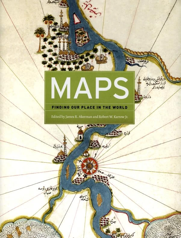
Maps – Finding Our Place in the World
University of Chicago Press
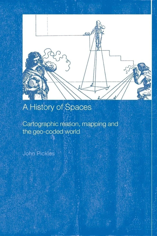
A History of Spaces: Cartographic Reason, Mapping and the Geo-Coded World (Frontiers of Human Geography)
Routledge
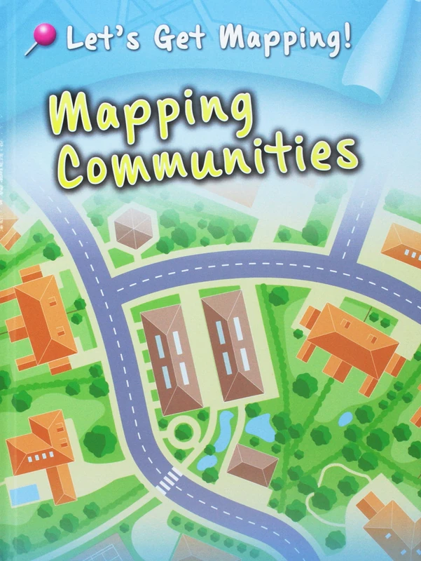
Let's Get Mapping! Pack A of 6
Raintree
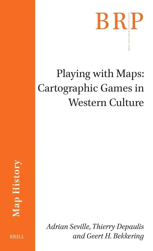
Playing with Maps: Cartographic Games in Western Culture (Brill Research Perspectives in Map History)
Brill
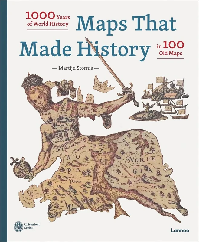
Maps that Made History: 1000 Years of World History in 100 Old Maps
LANNOO
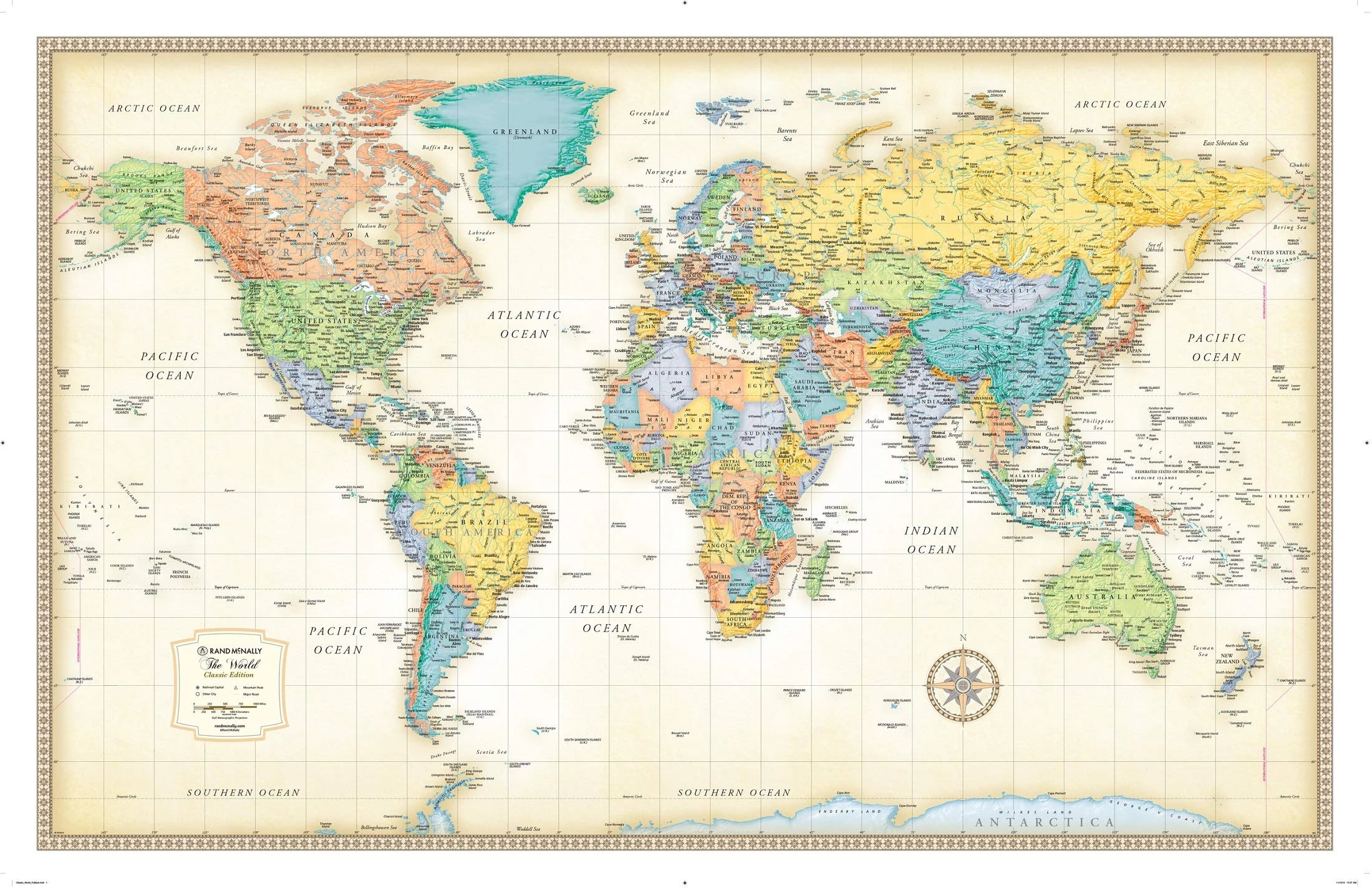
Rand McNally Classic World Wall Map - Laminated, 50x32 Inch
Rand McNally
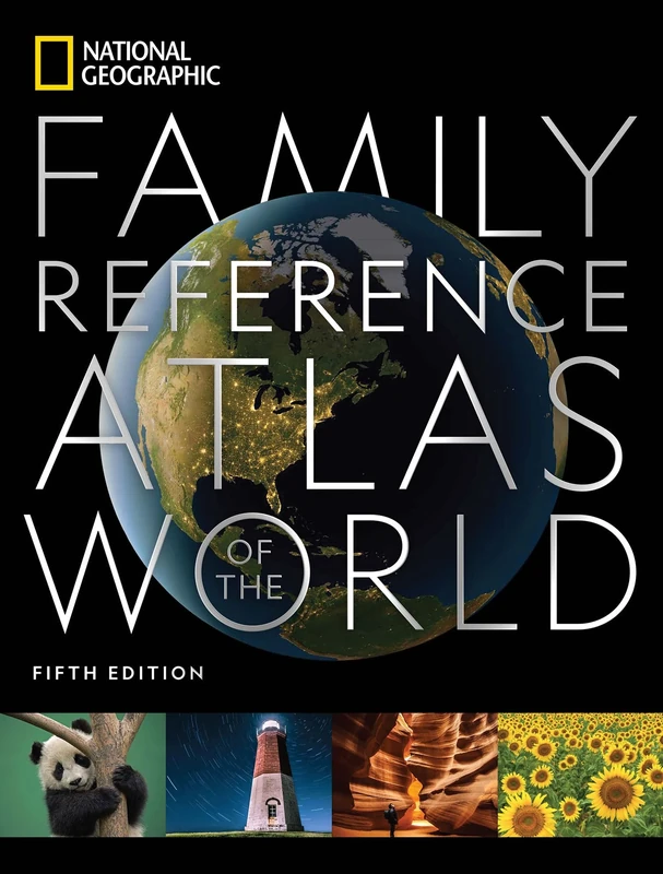
National Geographic Family Reference Atlas, 5th Edition (National Geographic Family Reference Atlas of the World)
National Geographic
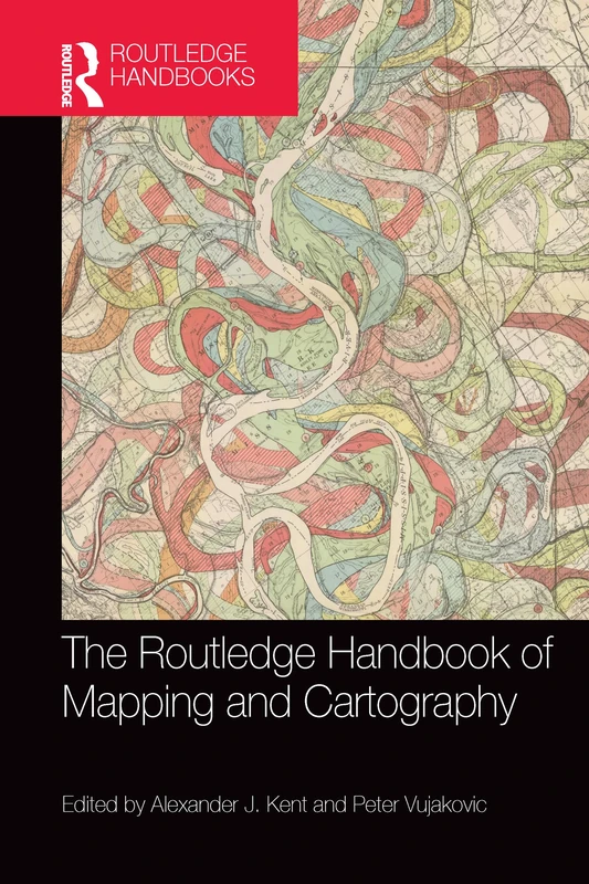
The Routledge Handbook of Mapping and Cartography
Routledge
Landmarks in Mapping: 50 Years of the Cartographic Journal
Routledge
Mapping: Ways of Representing the World (Insights Into Human Geography)
Routledge
Mapping: Ways of Representing the World (Insights Into Human Geography)
Routledge
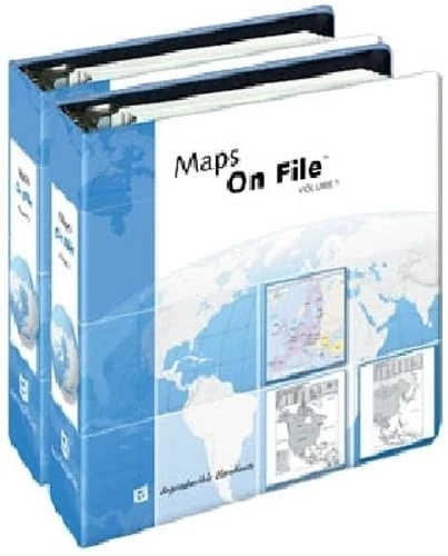
Maps On File
How Maps Work: Representation, Visualization, and Design
The Guilford Press
Maps On File 2009 Cd-Rom
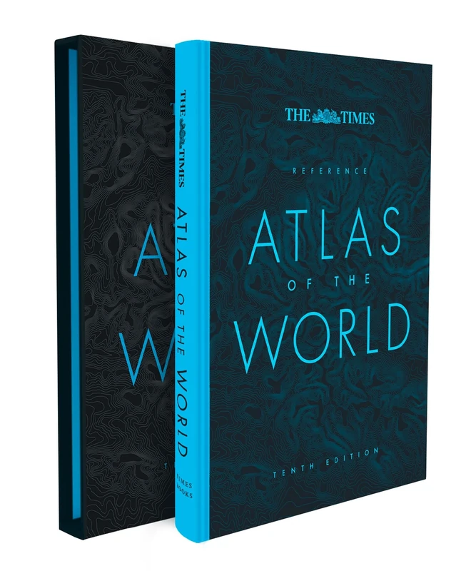
The Times Reference Atlas of the World
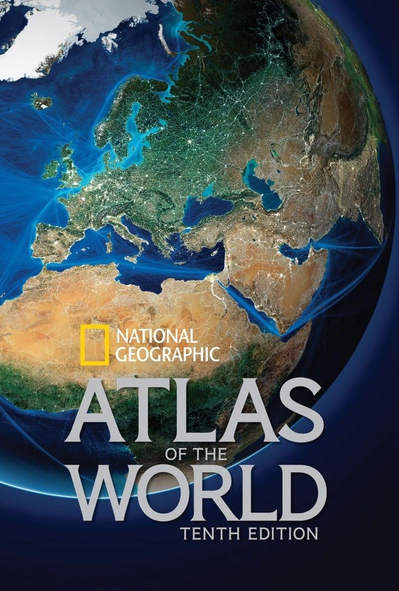
National Geographic Atlas of the World, Tenth Edition
National Geographic
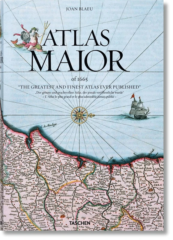
Joan Blaeu. Atlas Maior of 1665
Taschen
Maps on File 2009
Basic Cartography Volume 3: For Students and Technicians
Butterworth-Heinemann
The History of Cartography, V 6 – Cartography in the Twentieth Century
University of Chicago Press