We can't find the internet
Attempting to reconnect
Something went wrong!
Hang in there while we get back on track
£6.64
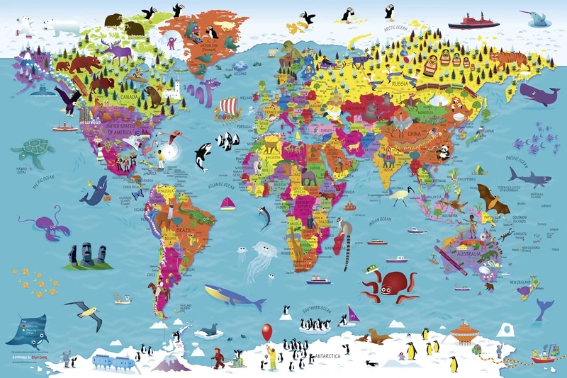
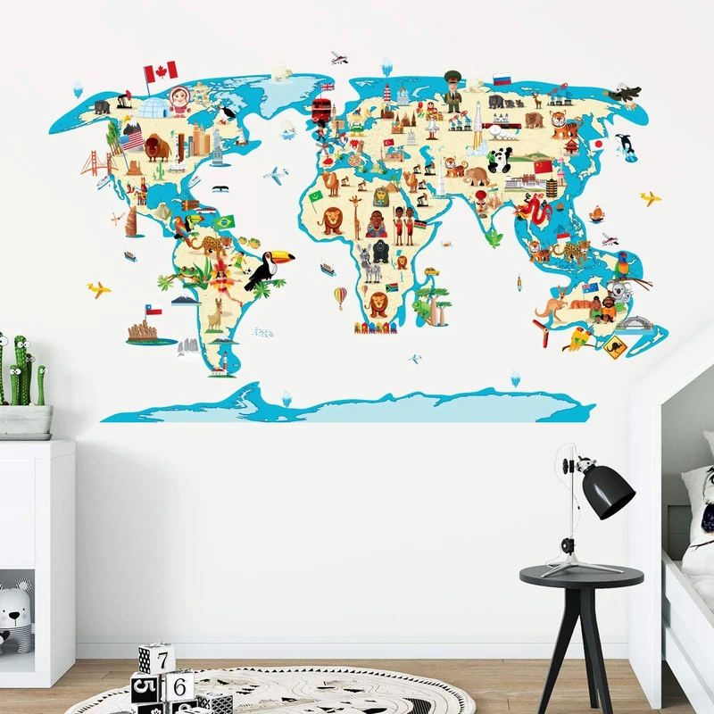
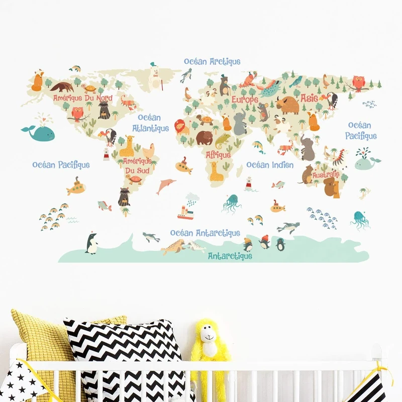
Collins Children's World Wall Map - Illustrated Poster
Full Colour
Price data last checked 14 day(s) ago - will refresh soon
We'll watch every seller, every day. One email when your price arrives.
It has never been this cheap. We have no record of a lower price.
£7 today · cheaper than every other day in the last 3 months
NEW HERE?
Amazon shows you one price. We show you all of them.
Tosheroon watches Amazon prices so you don't have to. Every product on Amazon has a price history — we make it visible. Set the price you'd actually pay, and we'll email you the second it gets there. No app, no account, one email.
WHAT'S ON THIS PAGE
when this has been cheap or pricey
where the price is heading next
all-time high & low, recent range
name your number, we'll email you
Price History & Forecast
Grey patches = out of stock. Cheaper = lower on the chart. Hover for exact prices.
Last 77 days • 77 data points (No recent data available)
Price Distribution
Price distribution over 77 days • 1 price levels
Price Analysis
Most common price: £6.64 (77 days, 100.0%)
Price range: £6.64 - £6.64
Price levels: 1 different prices over 77 days
Description
Key Features
Engaging visual learning through a highly illustrated pictorial map designed specifically for inquisitive kids.
Up-to-date geographical information featuring accurate country names and capital cities for educational accuracy.
Rich cultural themes including illustrations of national emblems, local customs, and traditional foods.
Vibrant depictions of the natural world, featuring various animals and birds from different continents.
Large format dimensions of 610 x 915 mm (24 x 36 inches) make it an ideal size for wall display.
Beautifully created artwork by illustrator Steve Evans to capture children's attention and interest.
Product Specifications
- Brand
- Collins
- Colour
- Full Colour
- Size
- 90l X 3w Cm
- ASIN
- 0008319790
- Domain
- Amazon UK
- Release Date
- 16 May 2019
- Listed Since
- 01 January 2011
Barcode
No barcode data available
Similar Products You Might Like
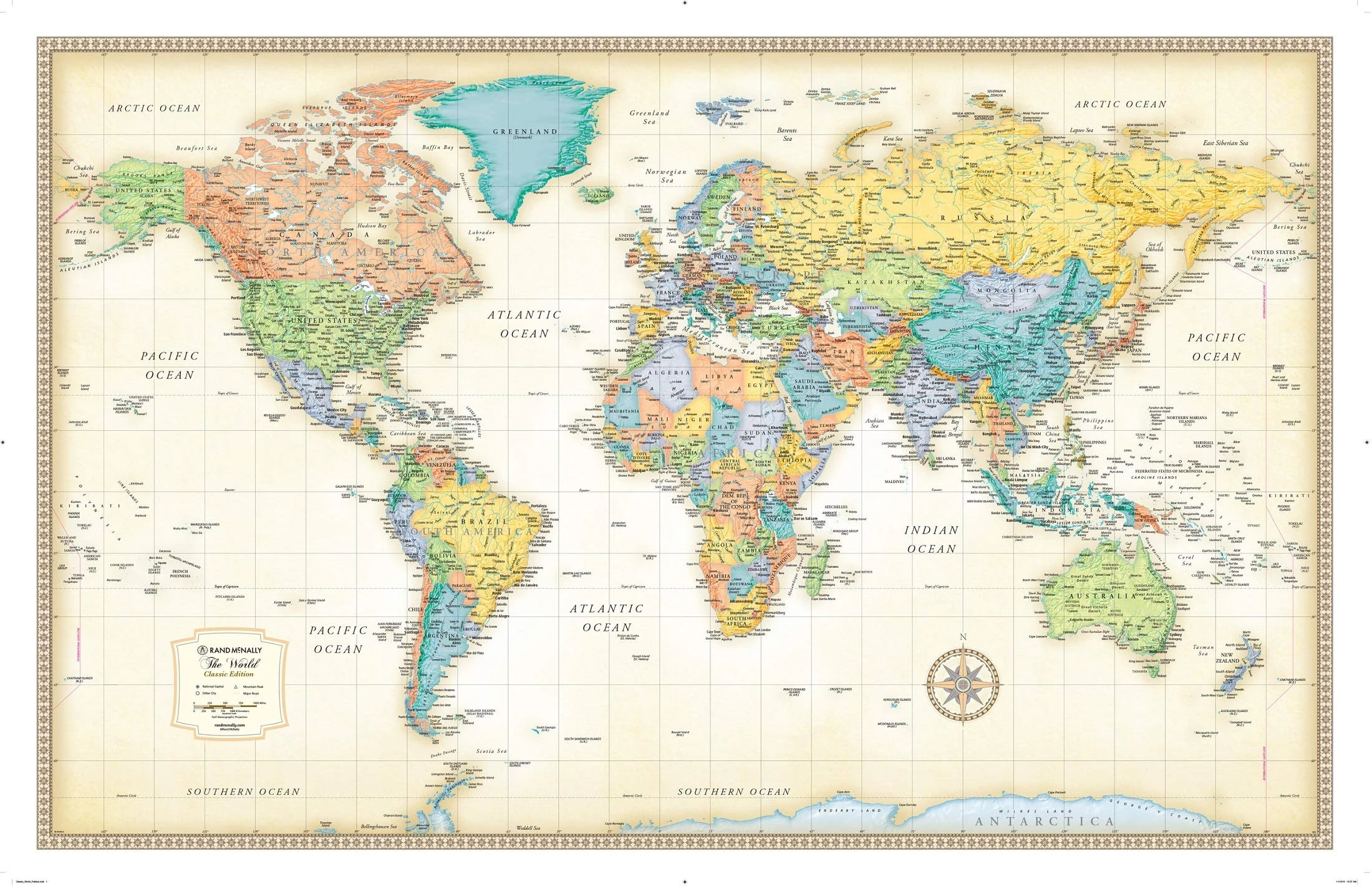
Rand McNally Classic World Wall Map - Laminated, 50x32 Inch
Rand McNally
Komar XXL4-038 368 x 248 cm"World Map" Wallpaper Mural - Multi-Colour (Pack of 4)
Komar
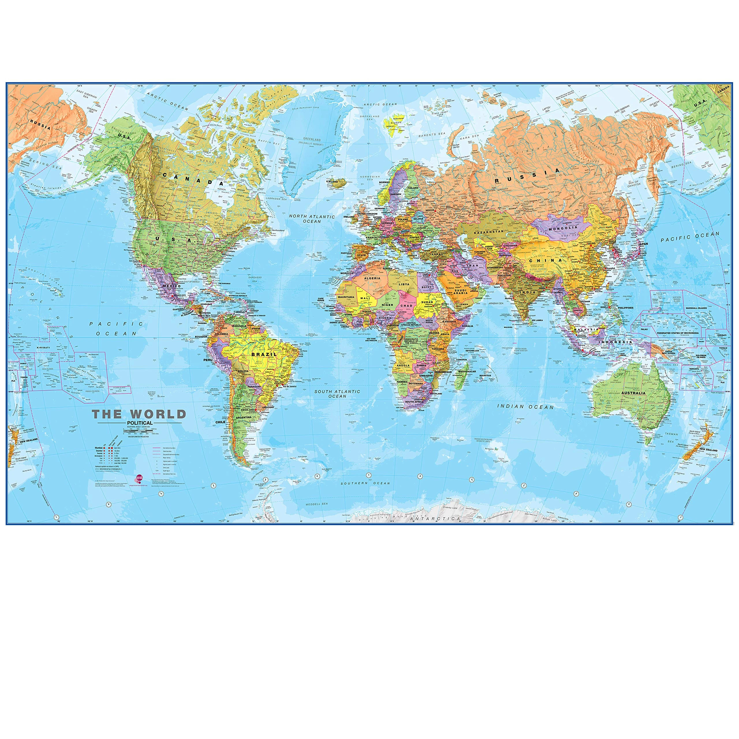
Maps International Giant World Map - 201cm x 116.5cm Laminated
Maps International

Children's Adhesive Stickers | World Map Sticker - Wall Decoration for Children's Bedrooms | 60 x 95 cm
Ambiance Sticker

Children's Adhesive Stickers | World Map Sticker - Wall Decoration for Children's Bedrooms | 90 x 145 cm
Ambiance Sticker

Ambiance Sticker Children's World Map Wall Decor - 80x145 cm
Ambiance Sticker

Children's Adhesive Stickers | World Map Sticker - Wall Decoration for Children's Bedrooms | 80 x 145 cm
Ambiance Sticker
Children's Adhesive Stickers | World Map Sticker - Wall Decoration for Children's Bedrooms | 90 x 165 cm
Ambiance Sticker

Children's Adhesive Stickers | World Map Sticker - Wall Decoration for Children's Bedrooms | 80 x 125 cm
Ambiance Sticker
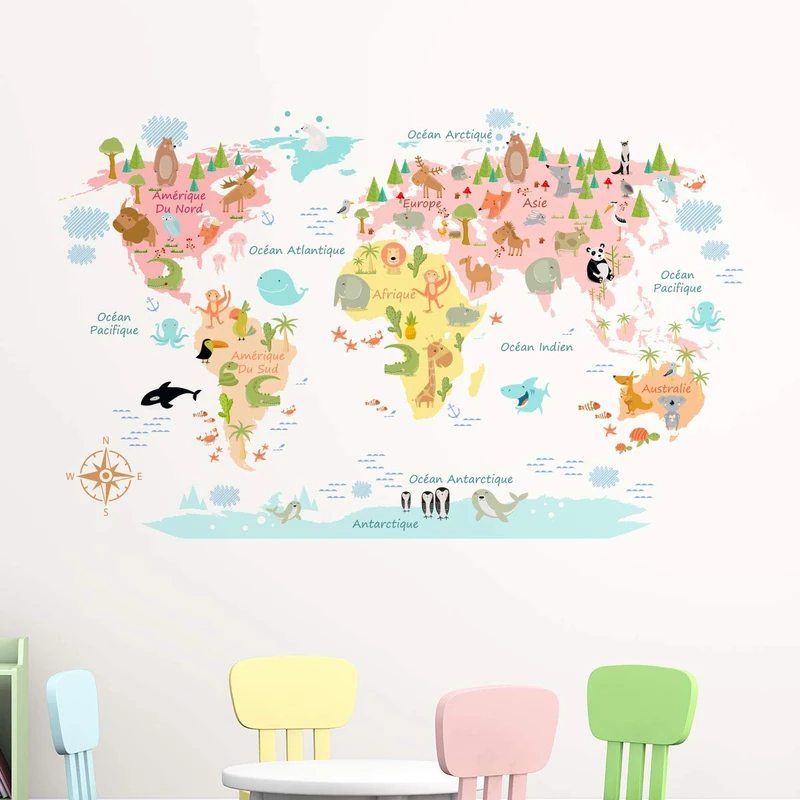
Children's Adhesive Stickers | World Map Sticker - Wall Decoration for Children's Bedrooms | 75 x 120 cm
Ambiance Sticker

Children's Adhesive Stickers | World Map Sticker - Wall Decoration for Children's Bedrooms | 75 x 120 cm
Ambiance Sticker
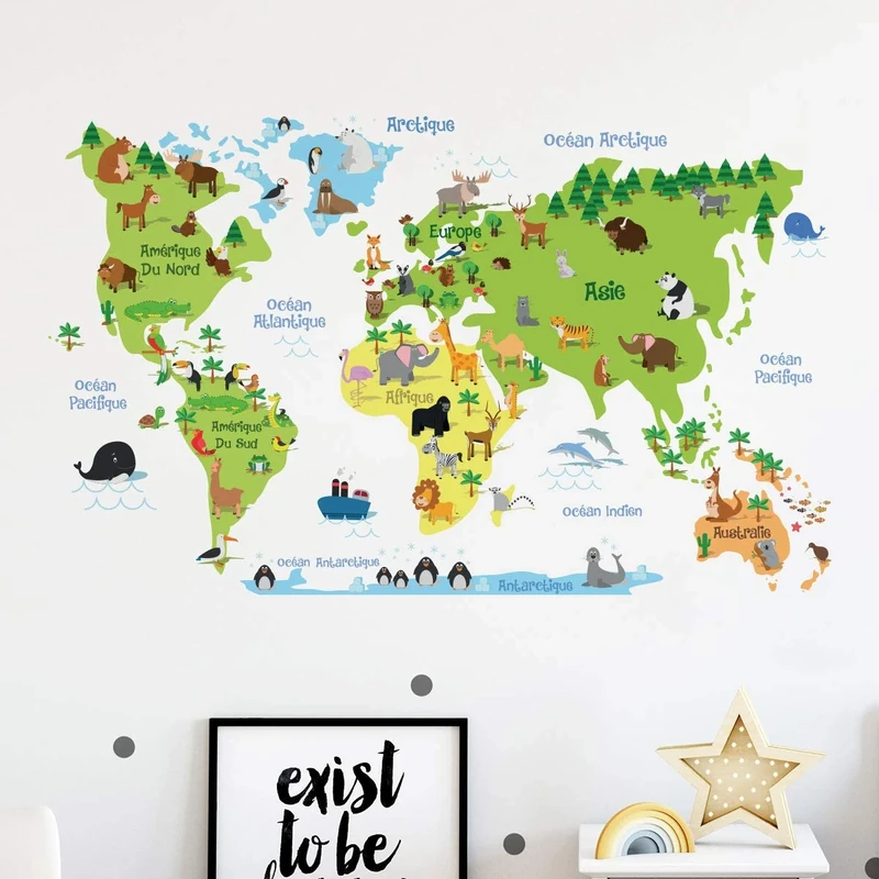
Children's Adhesive Stickers | World Map Sticker - Wall Decoration for Children's Bedrooms | 90 x 145 cm
Ambiance Sticker
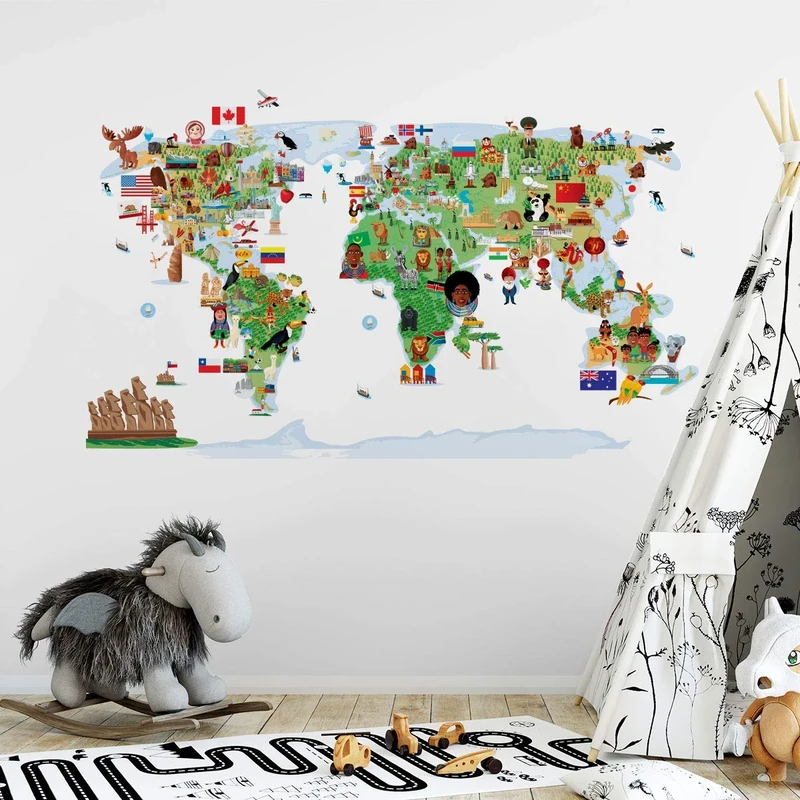
Children's Adhesive Stickers | World Map Sticker - Wall Decoration for Children's Bedrooms | 65 x 120 cm
Ambiance Sticker

Children's Adhesive Stickers | World Map Sticker - Wall Decoration for Children's Bedrooms | 90 x 160 cm
Ambiance Sticker

Children's Stickers | World Map Sticker – Children's Room Wall Decoration | 60 x 95 cm
Ambiance Sticker
Cambridge IGCSE™ Global Perspectives Teacher’s Guide (Collins Cambridge IGCSE™)
Collins
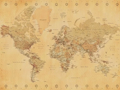
World Map "Vintage Style" Canvas Print, Cotton, Multi-Colour, 3.20 x 60.00 x 80.00 cm
World Map
Cambridge Lower Secondary Global Perspectives Teacher's Guide: Stage 8
Collins

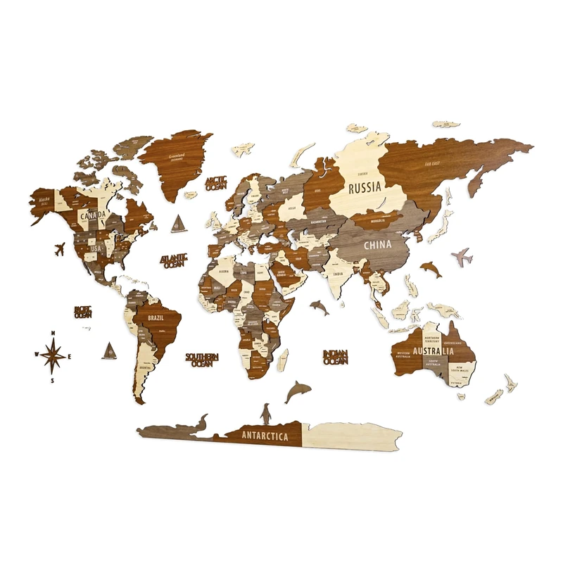
Multilayered 3D Wooden World Map, Travel Map with States and Capitals, Wall Decor For The New House, Gift For Travelers, Office Decor, Birthday Present, Living Room Decoration, Gift for Boys,
Colorfull Worlds
Multilayered 3D Wooden World Map, Travel Map with States and Capitals, Wall Decor For The New House, Gift For Travelers, Office Decor, Birthday Present, Living Room Decoration, Gift for Boys,
Colorfull Worlds
Cambridge Lower Secondary Global Perspectives Teacher's Guide: Stage 7
Collins

World Map Poster Wall Art for Office Decor Vintage Photos Canvas Prints Nautical Large Modern Framed Map of The World Canvas Wall Art Maps Pictures for Living Room Home Decor 24 x 48 Inches
Moyedecor Art

Hambli Large World Map Poster - 84 x 60cm Wall Art Atlas
Hambli
Children's Adhesive Stickers | Pastel World Map Sticker - Wall Decoration for Children's Bedrooms | 80 x 135 cm
Ambiance Sticker