We can't find the internet
Attempting to reconnect
Something went wrong
Hang in there while we get back on track
£89.99
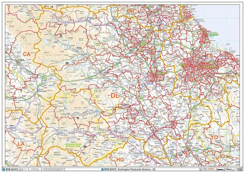
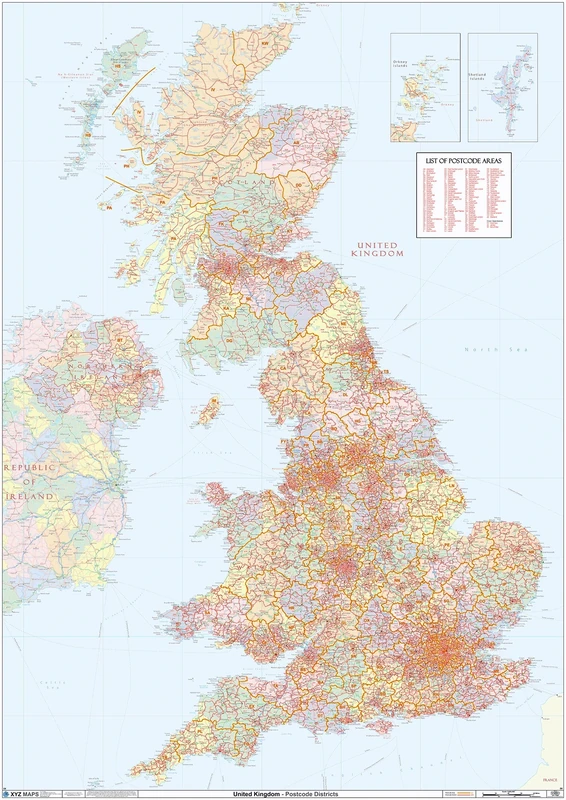
XYZ Maps Darlington - DL - Postcode Wall Map - 2A Plastic Coated (119cm x 168cm)
Multicolour, G73-2A
Price data last checked 34 day(s) ago - refreshing...
We'll watch every seller, every day. One email when your price arrives.
It has never been this cheap. We have no record of a lower price.
£90 today · cheaper than every other day in the last 3 months
NEW HERE?
Amazon shows you one price. We show you all of them.
Tosheroon watches Amazon prices so you don't have to. Every product on Amazon has a price history — we make it visible. Set the price you'd actually pay, and we'll email you the second it gets there. No app, no account, one email.
WHAT'S ON THIS PAGE
when this has been cheap or pricey
where the price is heading next
all-time high & low, recent range
name your number, we'll email you
Price History & Forecast
Grey patches = out of stock. Cheaper = lower on the chart. Hover for exact prices.
Last 57 days · 57 data points (no recent data)
Price Distribution
Price distribution over 57 days • 1 price levels
Price Analysis
Most common price: £90 (57 days, 100.0%)
Price range: £90 - £90
Price levels: 1 different prices over 57 days
Key Features
A High Quality Postcode Sector Wall Map. Showing the Entire DL Postcode Area, with Precise Boundaries and Clear Postcode Labels on a Detailed Map Background.
Double size 2A - 1682 mm x 1189 mm
Plastic Coated waterproof / wipeable
Product Specifications
- Brand
- XYZ Maps
- Model
- G73-2A
- Colour
- Multicolour
- Size
- 2a - 1189mm X 1682mm
- Format
- office_product
- ASIN
- B07WSJ9CNS
- Domain
- Amazon UK
- Release Date
- 06 December 2022
- Listed Since
- 19 August 2019
Barcode
No barcode data available
Similar Products You Might Like
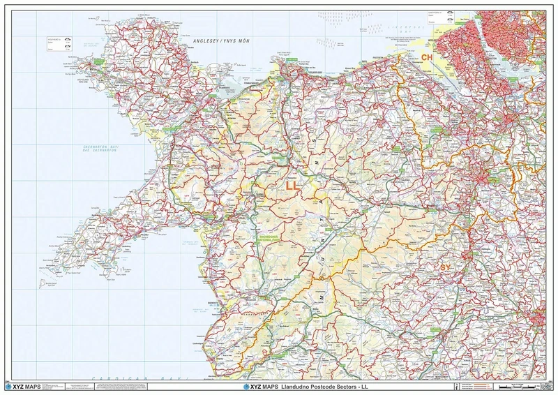
Llandudno - LL - Postcode Wall Map - 2A Plastic Coated (119cm x 168cm)
XYZ Maps
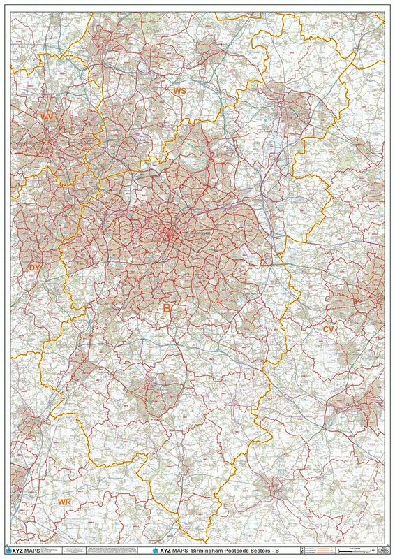
Birmingham - B - Postcode Wall Map - 2A Plastic Coated (119cm x 168cm)
XYZ Maps
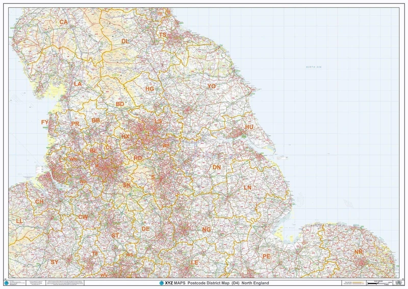
North England - Postcode District Wall Map-Plastic Coated 2A (119cm x 168cm)
XYZ Maps
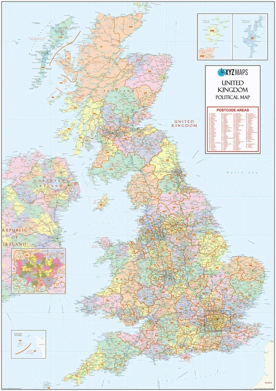
UK Political - Postcode District Wall Map (6'x4')-Paper
XYZ Maps
XYZ Maps UK Postcode Areas Wall Map – 100 cm x 141 cm – England, Scotland & Wales – Political Postcode Regions – 120gsm Art Paper – Ideal for Office, Classroom & Planning Use
XYZ Maps
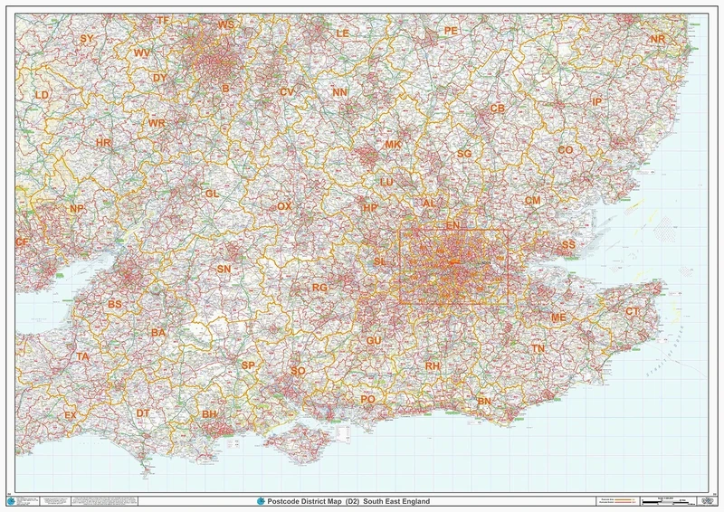
South East England - Postcode District Wall Map-Plastic Coated 2A (119cm x 168cm)
XYZ Maps
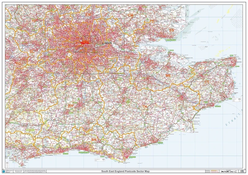
Postcode Sector Map - (S4) - South East England - Wall Map-Plastic Coated 2A (119cm x 168cm)
XYZ Maps
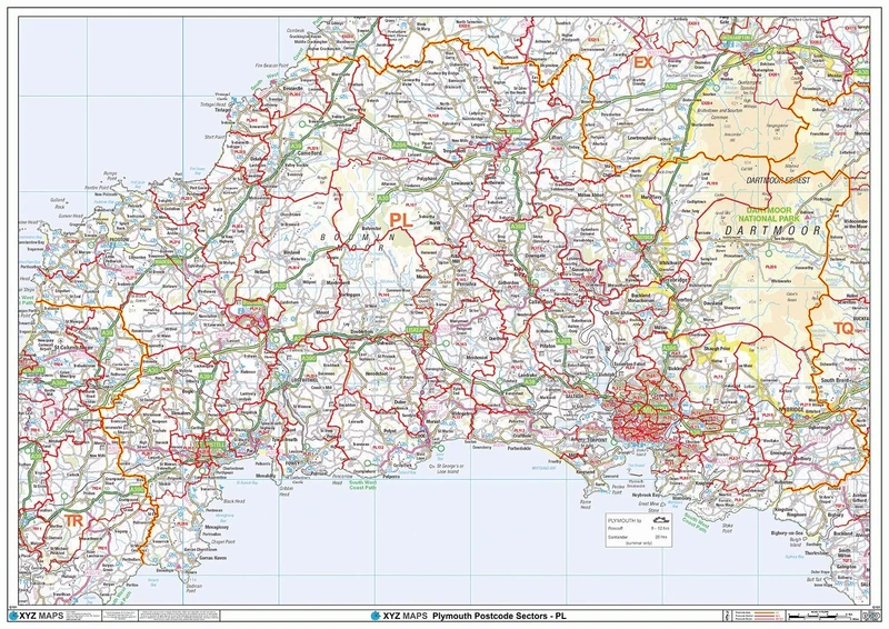
Plymouth - PL - Postcode Wall Map - 2A Plastic Coated (119cm x 168cm)
XYZ Maps
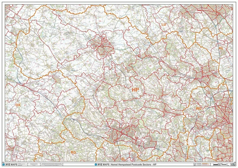
Hemel Hempstead - HP - Postcode Wall Map - 2A Plastic Coated (119cm x 168cm)
XYZ Maps

Architects Paper 961951 Wallpaper, Blue, 10,05 m (Länge) x 0,53 m (Breite)
A.S. Création

RoomMates RMK9114WP Black Damask Peel and Stick Wallpaper 20.5" x 16.5 feet
RoomMates
DKD Home Decor Wall Decor, Standard
DKD Home Decor

Scenolia XL Vertical Poster Decorative AMAZON 150 x 240 cm Optical Illusion HD
Scenolia
Price unavailable
Anaglypta Buckingham Paintable Textured Vinyl Wallpaper
Anaglypta
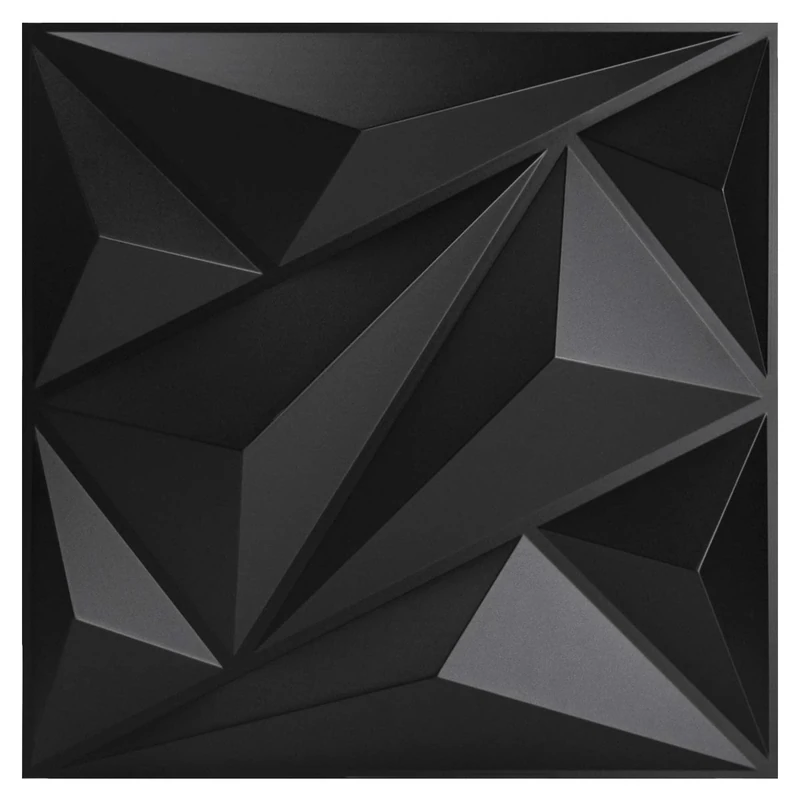
Art3dwallpanels PVC 3D Wall Panel Diamond for Interior Wall Décor in Black, 19.7" x 19.7" Wall Decor PVC Panel, 3D Textured Wall Panels, Pack of 12 Tiles
Art3dwallpanels

DKD Home Decor Wall Decor, Standard
DKD Home Decor
Price unavailable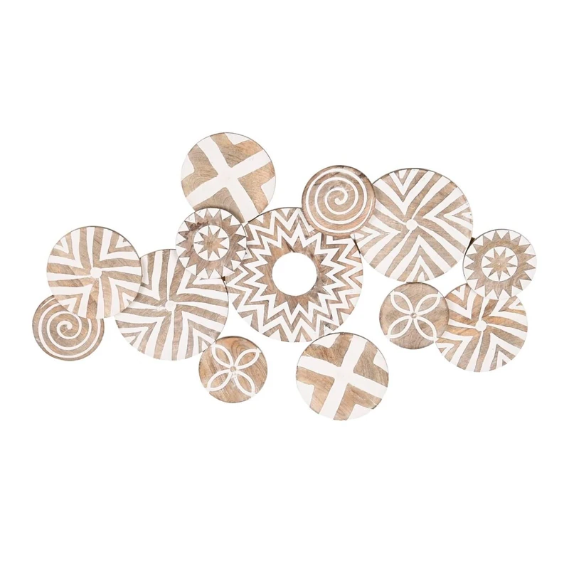
DKD Home Decor Wall Decor, Standard
DKD Home Decor
Price unavailable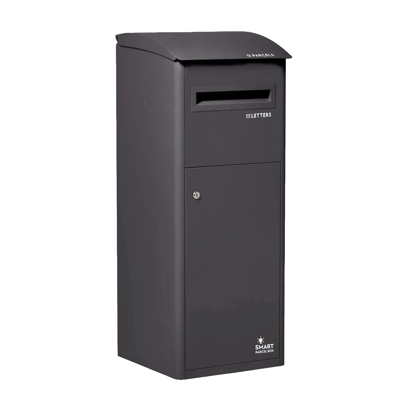
SMART PARCEL BOX Extra Large Parcel Box Outdoor, Weatherproof Black Delivery Box Slanted Top With Secure Front Access, Durable Galvanised Steel, Lockable For Post, Multiple Letters & Package Drop
Smart Parcel Box
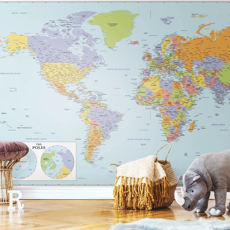
RoomMates RMK12025M Blue and Green World Map Educational Mural Peel and Stick Wallpaper
RoomMates

RoomMates RMK11772M World Map Mural Peel and Stick Wallpaper, Blue, Green
RoomMates
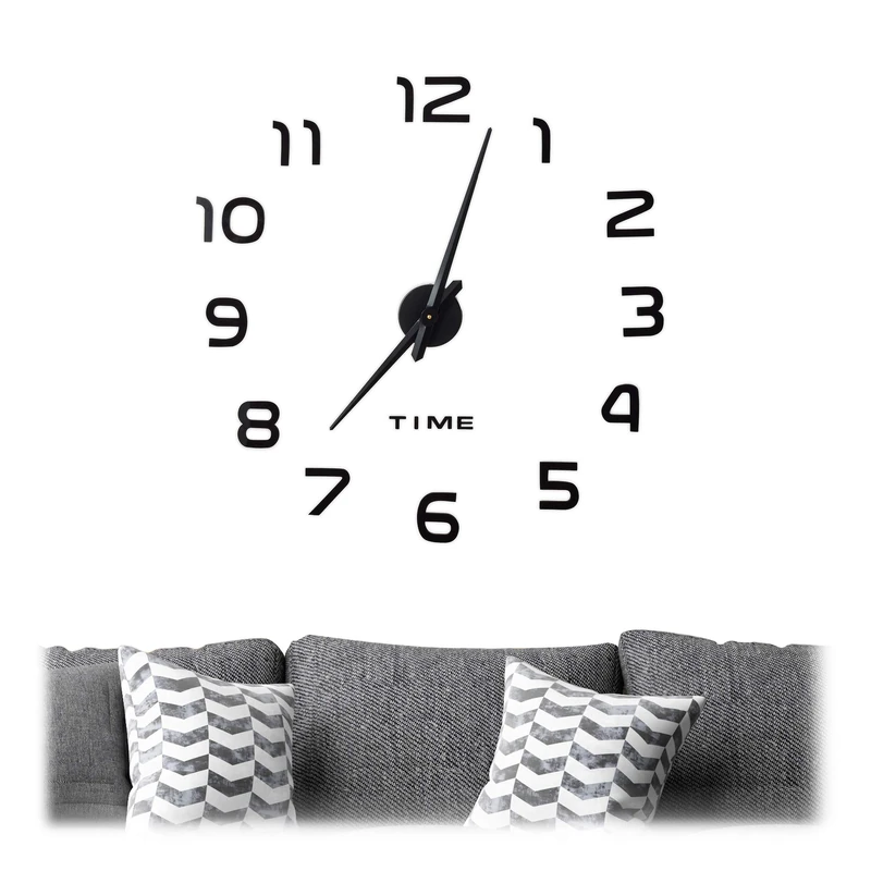
Relaxdays DIY Clock, 3D Numbers, Adhesive Wall Tattoo, Easy to Install, Variable Size, Black
Relaxdays

AG DESIGN Photo Wallpaper/Giant Wall Poster, Blue Black Paper, Multi-Colour, 389 x 254 cm/141.7 x 100-Inch
AG Design
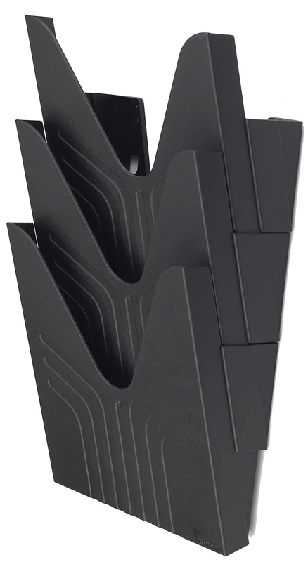
Avery 144-3BLK Original A4 Literature Holders, 250 x 260 x 115 mm, Set of 3 - Black
AVERY
liderpapel 54723 Wall Chart Magenta
Liderpapel