We can't find the internet
Attempting to reconnect
Something went wrong
Hang in there while we get back on track
£84.99
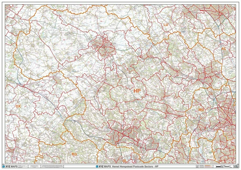
XYZ Maps Hemel Hempstead - HP - Postcode Wall Map - 2A Plastic Coated (119cm x 168cm)
Multicolour, G33-2A
Price data last checked 47 day(s) ago - refreshing...
We'll watch every seller, every day. One email when your price arrives.
It has never been this cheap. We have no record of a lower price.
£85 today · cheaper than every other day in the last 3 months
NEW HERE?
Amazon shows you one price. We show you all of them.
Tosheroon watches Amazon prices so you don't have to. Every product on Amazon has a price history — we make it visible. Set the price you'd actually pay, and we'll email you the second it gets there. No app, no account, one email.
WHAT'S ON THIS PAGE
when this has been cheap or pricey
where the price is heading next
all-time high & low, recent range
name your number, we'll email you
Price History & Forecast
Grey patches = out of stock. Cheaper = lower on the chart. Hover for exact prices.
Last 44 days · 44 data points (no recent data)
Price Distribution
Price distribution over 44 days • 1 price levels
Price Analysis
Most common price: £85 (44 days, 100.0%)
Price range: £85 - £85
Price levels: 1 different prices over 44 days
Description
Key Features
A High Quality Postcode Sector Wall Map. Showing the Entire HP Postcode Area, with Precise Boundaries and Clear Postcode Labels on a Detailed Map Background.
Double size 2A - 1682 mm x 1189 mm
Plastic Coated waterproof / wipeable
Product Specifications
- Brand
- XYZ Maps
- Model
- G33-2A
- Colour
- Multicolour
- Size
- 2a - 1189mm X 1682mm
- Format
- office_product
- ASIN
- B07WSF12CS
- Domain
- Amazon UK
- Release Date
- 06 December 2022
- Listed Since
- 19 August 2019
Barcode
No barcode data available
Similar Products You Might Like
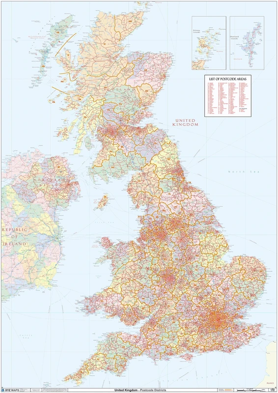
XYZ Maps UK Postcode Areas Wall Map – 100 cm x 141 cm – England, Scotland & Wales – Political Postcode Regions – 120gsm Art Paper – Ideal for Office, Classroom & Planning Use
XYZ Maps
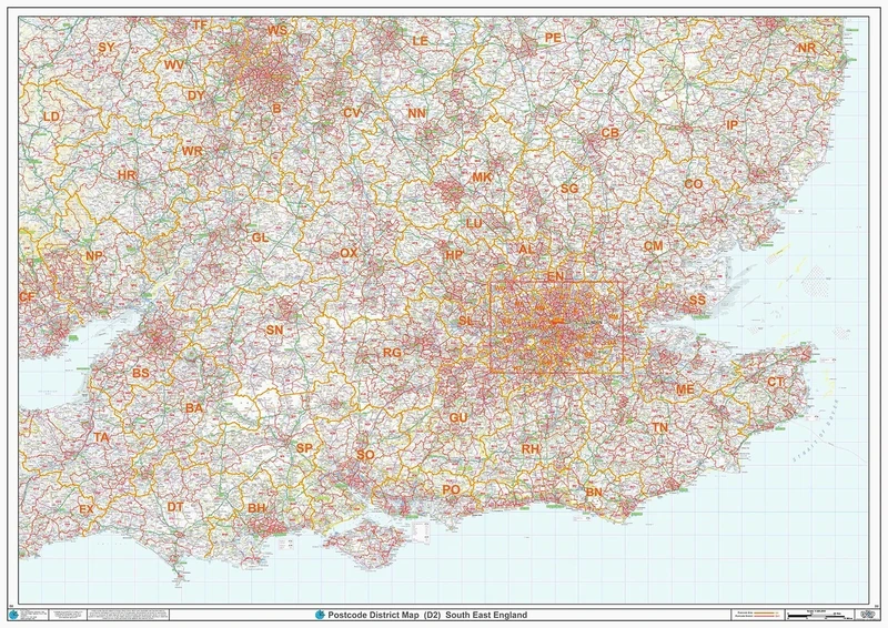
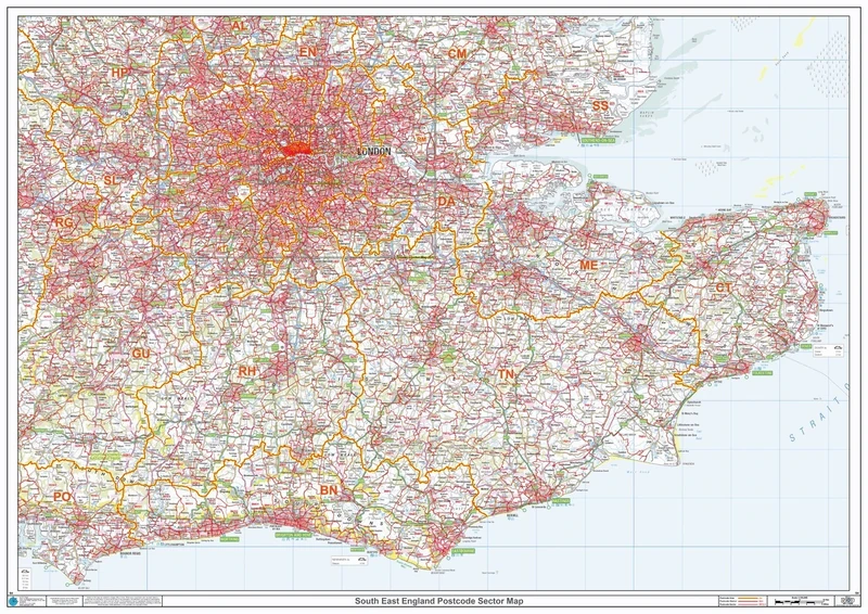
South East England - Postcode District Wall Map-Plastic Coated 2A (119cm x 168cm)
XYZ Maps

AVERY Zweckform L7159-100 Address Labels 100 Sheets 2400 Labels 63.5 x 33.9 mm White
Avery Zweckform
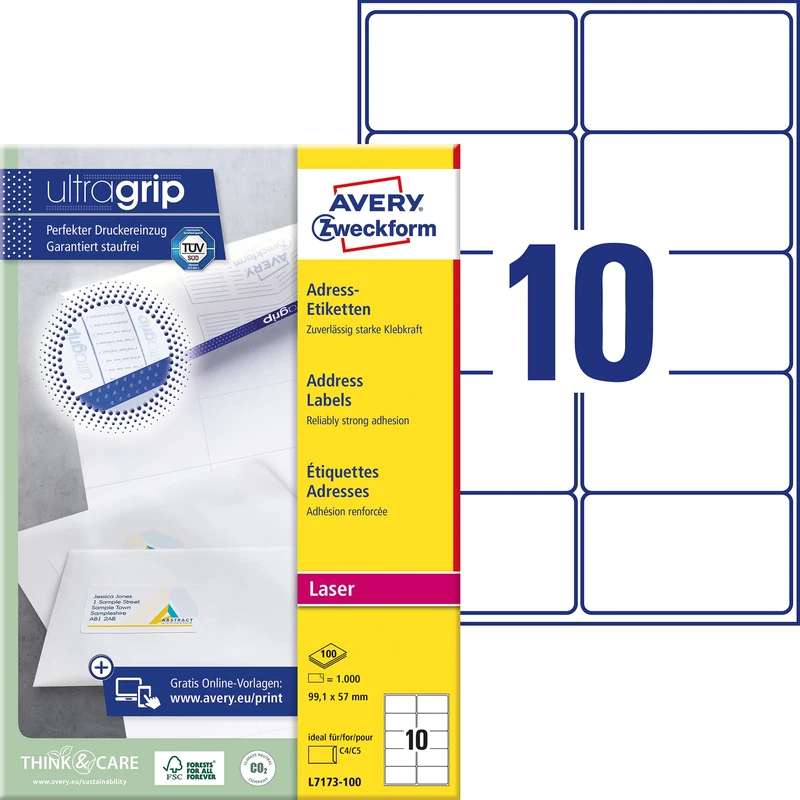
Avery Zweckform L7173-100 Address Labels 99.1 x 57 mm (100 Sheets)
Avery Zweckform
Postcode Sector Map - (S4) - South East England - Wall Map-Plastic Coated 2A (119cm x 168cm)
XYZ Maps

HERMA Self Adhesive Shipping Labels, 8 Labels per A4 Sheet, 1400 Sheets, 99.1 x 67.7 mm, 11200 Labels, Blank Parcel Labels Stickers, Sticky Labels for Laser & Inkjet Printer, White
HERMA
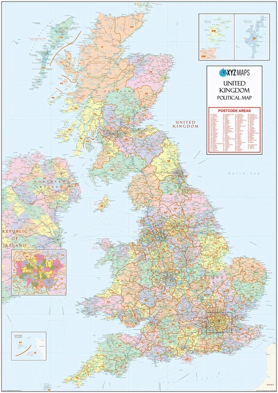
UK Political - Postcode District Wall Map (6'x4')-Paper
XYZ Maps

HERMA Self Adhesive Address Labels, 16 Labels per A4 Sheet, 1400 Sheets, 99.1 x 33.8 mm, 22400 Labels, Blank Mailing Labels Stickers, Sticky Labels for Laser & Inkjet Printer, White
HERMA

HERMA Self Adhesive Address Labels, 16 Labels per A4 Sheet, 1400 Sheets, 88.9 x 33.8 mm, 22400 Labels, Blank Mailing Labels Stickers, Sticky Labels for Laser & Inkjet Printer, White
HERMA
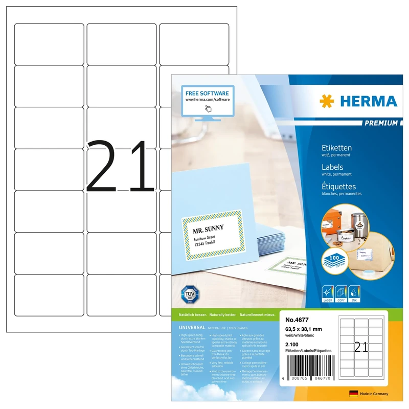
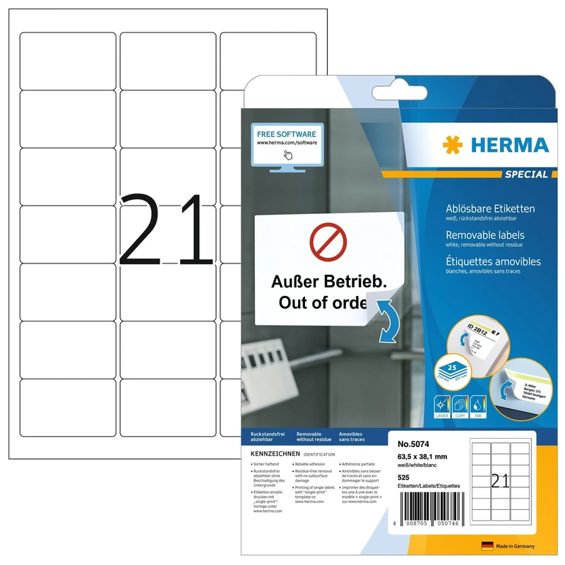
HERMA Self Adhesive Address Labels, 21 Labels per A4 Sheet, 1400 Sheets, 63.5 x 38.1 mm, 29400 Labels, Blank Mailing Labels Stickers, Sticky Labels for Laser & Inkjet Printer, White
HERMA
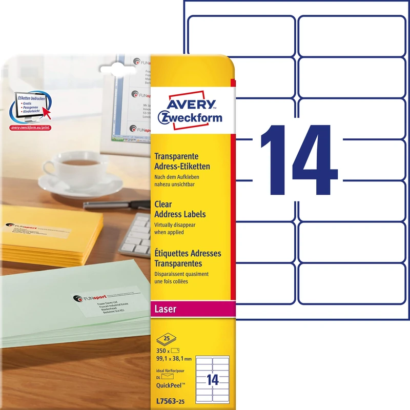
Avery Zweckform L7563-25 Universal Address Labels 25 Sheets / 350 Labels / 99.1 x 38.1 mm/Transparent
Avery Zweckform

HERMA Self Adhesive Multipurpose Labels, 12 Labels per A4 Sheet, 1400 Sheets, 88.9 x 46.6 mm, 16800 Labels, Blank Universal Labels Stickers, Sticky Labels for Laser & Inkjet Printer, White
HERMA
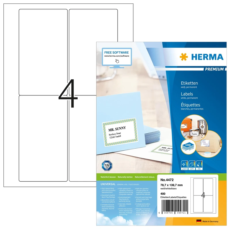
HERMA Self Adhesive Shipping Labels, 4 Labels per A4 Sheet, 1400 Sheets, 78.7 x 139.7 mm, 5600 Labels, Blank Parcel Labels Stickers, Sticky Labels for Laser & Inkjet Printer, White
HERMA
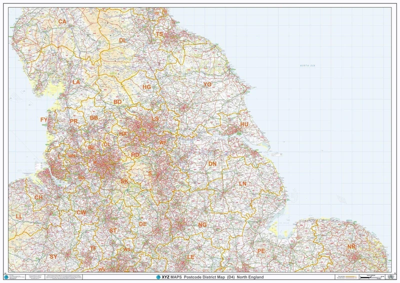
North England - Postcode District Wall Map-Plastic Coated 2A (119cm x 168cm)
XYZ Maps
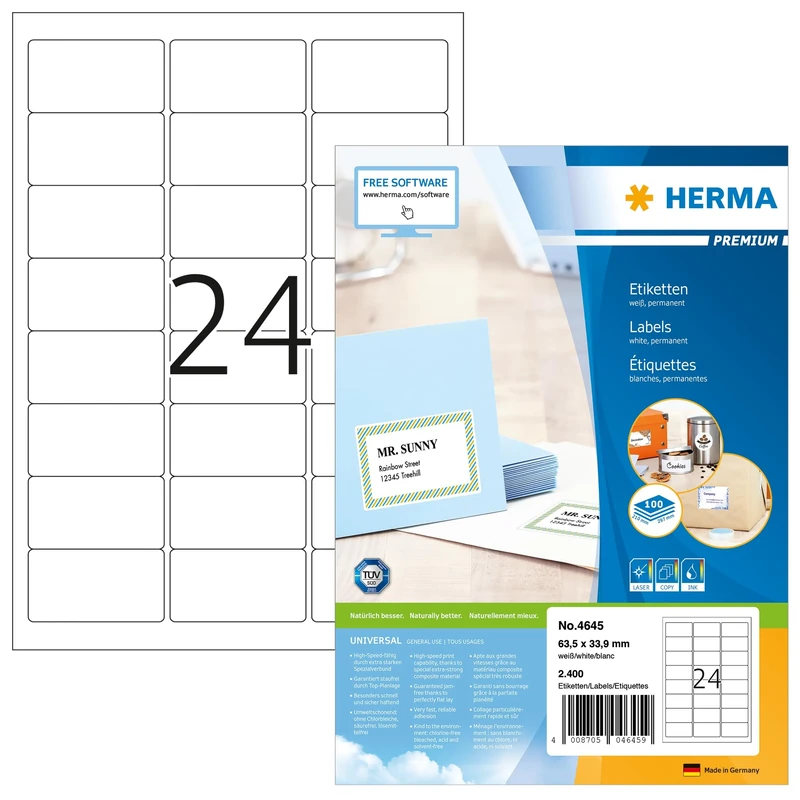
HERMA Self Adhesive Address Labels, 24 Labels per A4 Sheet, 1400 Sheets, 63.5 x 33.9 mm, 33600 Labels, Blank Mailing Labels Stickers, Sticky Labels for Laser & Inkjet Printer, White
HERMA

HERMA Self Adhesive Shipping Labels, 4 Labels per A4 Sheet, 1400 Sheets, 99.1 x 139 mm, 5600 Labels, Blank Parcel Labels Stickers, Sticky Labels for Laser & Inkjet Printer, White
HERMA

HERMA Self Adhesive Multipurpose Labels, 14 Labels per A4 Sheet, 1400 Sheets, 99.1 x 38.1 mm, 19600 Labels, Blank Universal Labels Stickers, Sticky Labels for Laser & Inkjet Printer, White
HERMA
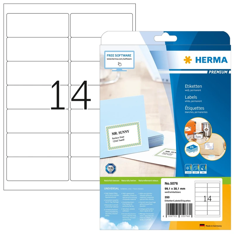
HERMA Self Adhesive Multipurpose Labels, 14 Labels per A4 Sheet, 800 Sheets, 99.1 x 38.1 mm, 11200 Labels, Blank Universal Labels Stickers, Sticky Labels for Laser & Inkjet Printer, White
HERMA
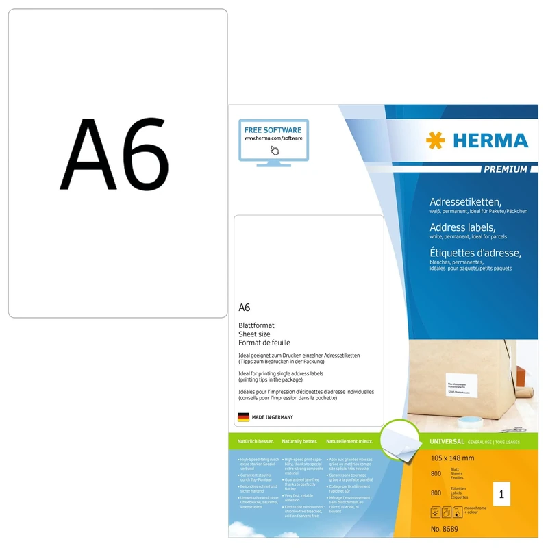
HERMA Self Adhesive Multipurpose Labels, 1 Label per A6 Sheet, 6400 Sheets, 105 x 148 mm, 6400 Labels, Blank Universal Labels Stickers, Sticky Labels for Laser & Inkjet Printer, White
HERMA
K Smart Sign Bellisima H3 F31 - Matt Dark Gray 300x160mm Sign
K Smart Sign

HERMA Self Adhesive Shipping Labels, 2 Labels per A4 Sheet, 1400 Sheets, 199.6 x 143.5 mm, 2800 Labels, Blank Parcel Labels Stickers, Sticky Labels for Laser & Inkjet Printer, White
HERMA
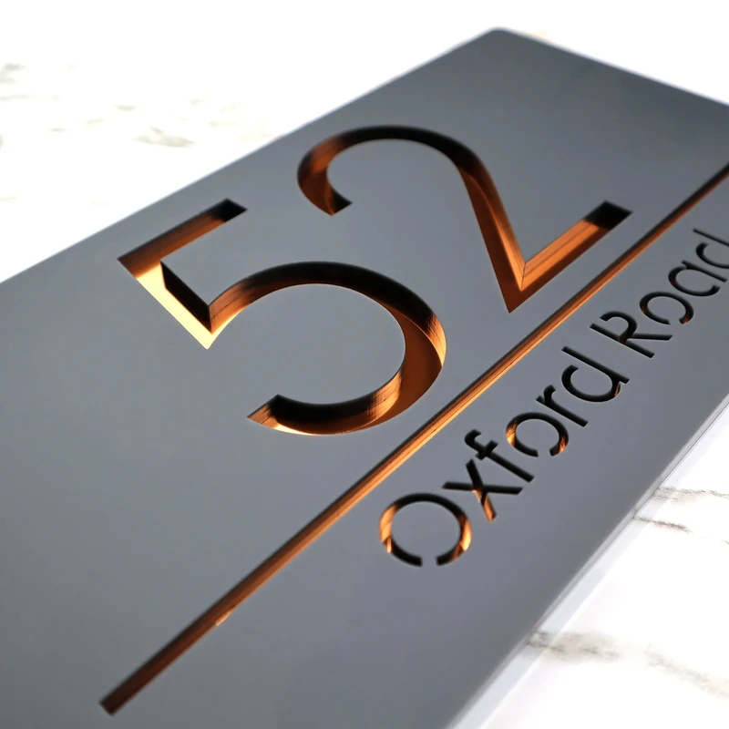
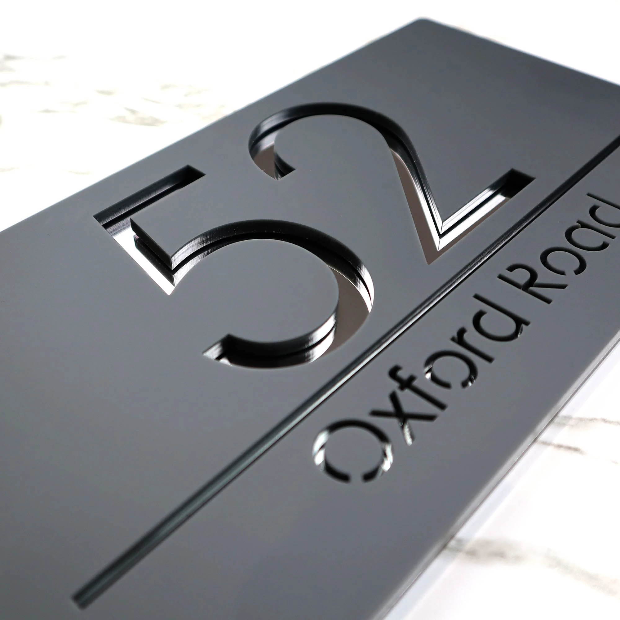
K Smart | Bellisima H3 F31 Number Signs Personalised House Laser Cut 3d Door Street Address Grey Plaque | 300mm x 160mm (Matt Dark Gray & Copper Mirror)
K Smart Sign
HERMA Self Adhesive Removable Labels, 21 Labels per A4 Sheet, 800 Sheets, 63.5 x 38.1 mm, 16800 Labels, Blank Multipurpose Labels Stickers, Sticky Labels for Laser & Inkjet Printer, White
HERMA
Abetcabe Gaming Mouse Pad, Mouse Mat Large 800 x 400 Extended Desk Mat with Non-Slip Rubber Water-Resistant surface for Home Office Gaming Work
Abetcabe
Price unavailable