We can't find the internet
Attempting to reconnect
Something went wrong
Hang in there while we get back on track
£58.49
Springer Optical and SAR Remote Sensing of Urban Areas: A Practical Guide (Springer Geography)
Price data last checked 9 day(s) ago - will refresh soon
We'll watch every seller, every day. One email when your price arrives.
This is the most expensive it has ever been. Walk away.
£58 today · previous high £58 · all-time low £58
NEW HERE?
Amazon shows you one price. We show you all of them.
Tosheroon watches Amazon prices so you don't have to. Every product on Amazon has a price history — we make it visible. Set the price you'd actually pay, and we'll email you the second it gets there. No app, no account, one email.
WHAT'S ON THIS PAGE
when this has been cheap or pricey
where the price is heading next
all-time high & low, recent range
name your number, we'll email you
Price History & Forecast
Grey patches = out of stock. Cheaper = lower on the chart. Hover for exact prices.
Last 82 days · 82 data points (no recent data)
Price Distribution
Price distribution over 82 days • 1 price levels
Price Analysis
Most common price: £58 (82 days, 100.0%)
Price range: £58 - £58
Price levels: 1 different prices over 82 days
Description
Product Specifications
- Brand
- Springer
- Format
- hardcover
- ASIN
- 9811651485
- Domain
- Amazon UK
- Release Date
- 03 December 2021
- Listed Since
- 06 July 2021
Barcode
No barcode data available
Similar Products You Might Like

Urban Development in Asia and Africa: Geospatial Analysis of Metropolises (The Urban Book Series)
Springer

Remote Sensing Applications for the Urban Environment
CRC Press
Geospatial Technologies for Effective Land Governance (Advances in Geospatial Technologies (AGT))
IGI Global
Biomass Burning in South and Southeast Asia: Mapping and Monitoring, Volume One
CRC Press
CRC Press Biomass Burning in South and Southeast Asia Vol 2
CRC Press
Computational Intelligence for Remote Sensing: 133 (Studies in Computational Intelligence, 133)
Springer

Multitemporal Remote Sensing: Methods and Applications: 20 (Remote Sensing and Digital Image Processing, 20)
Springer
Real-Time Recursive Hyperspectral Sample and Band Processing: Algorithm Architecture and Implementation
Springer
European Landscape Dynamics: CORINE Land Cover Data
CRC Press
Mediterranean Land-surface Processes Assessed from Space (Regional Climate Studies)
Springer
Remote Sensing Image Fusion (Signal and Image Processing of Earth Observations)
CRC Press
An Introduction to Spatial Data Analysis: Remote Sensing and GIS with Open Source Software (Data in the Wild)
Pelagic Publishing Ltd
Multispectral Satellite Image Understanding: From Land Classification to Building and Road Detection (Advances in Computer Vision and Pattern Recognition)
Springer
Deep Learning for Remote Sensing Images with Open Source Software (Signal and Image Processing of Earth Observations)
CRC Press

Fuzzy Machine Learning Algorithms for Remote Sensing Image Classification
CRC Press
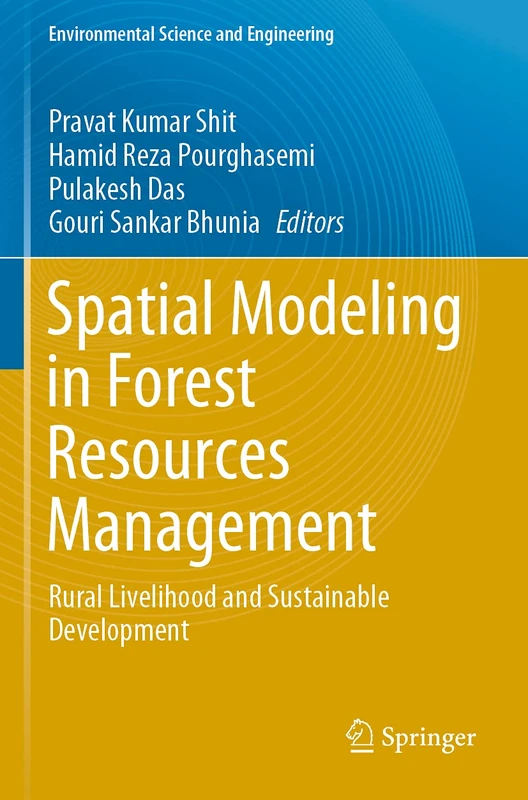
Spatial Modeling in Forest Resources Management: Rural Livelihood and Sustainable Development (Environmental Science and Engineering)
Springer
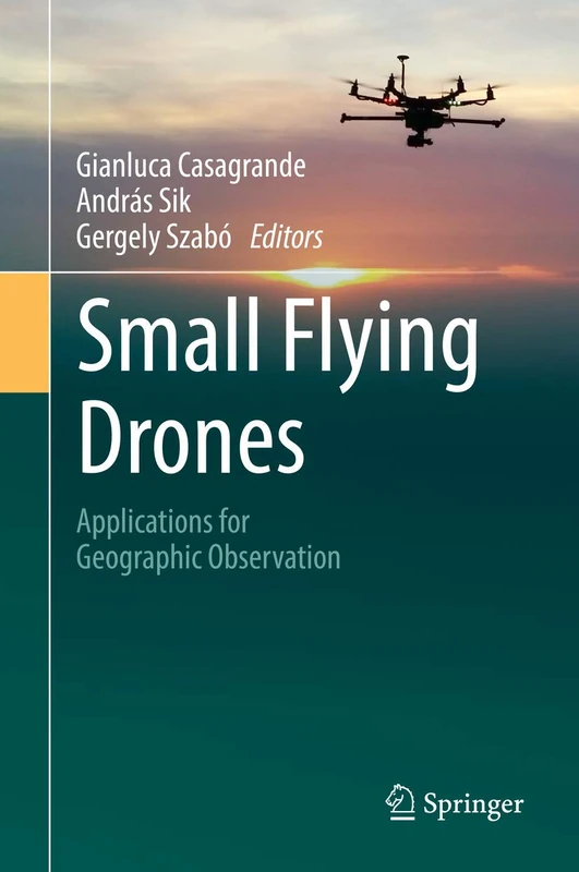
Small Flying Drones: Applications for Geographic Observation
Springer
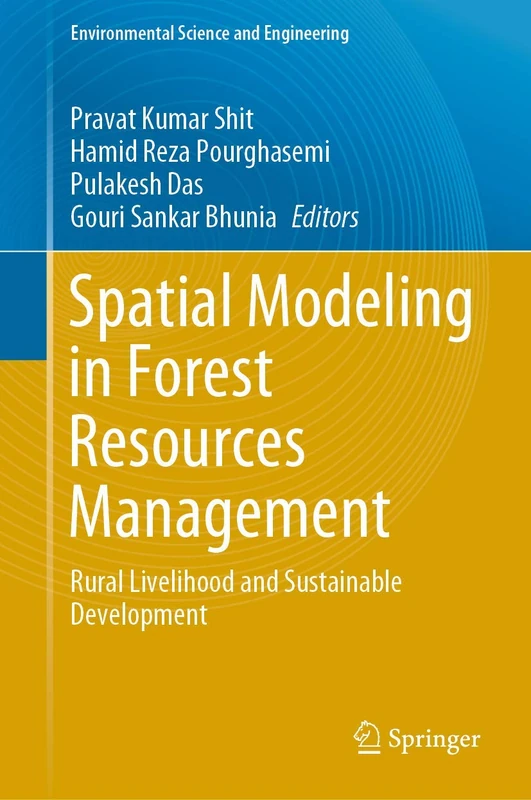
Spatial Modeling in Forest Resources Management: Rural Livelihood and Sustainable Development (Environmental Science and Engineering)
Springer