£42.00

It has never been this cheap. We have no record of a lower price.

£42 today · cheaper than every other day in the last 3 months

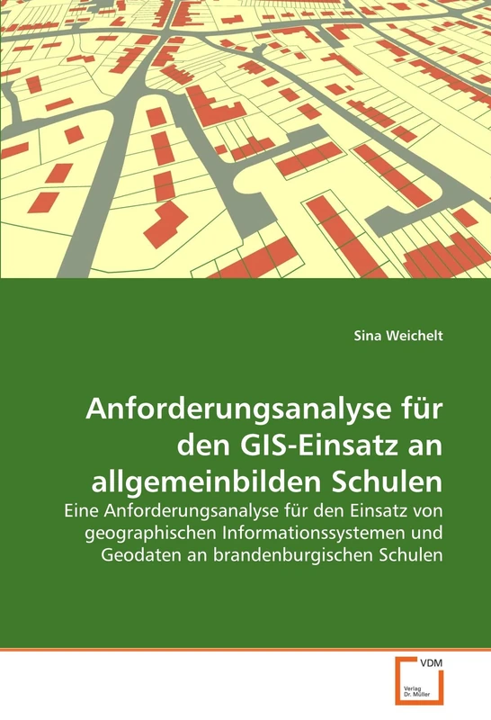
VDM Verlag Anforderungsanalyse für den GIS-Einsatz an allgemeinbilden Schulen: Eine Anforderungsanalyse für den Einsatz von geographischen Informationssystemen und Geodaten an brandenburgischen Schulen

View at Amazon

Price History & Forecast

Grey patches = out of stock. Cheaper = lower on the chart. Hover for exact prices.

Last 56 days · 56 data points (no recent data)

Historical
Generating forecast…
£42.00 £39.90 £40.74 £41.58 £42.42 £43.26 £44.10 23 July 2026 05 August 2026 19 August 2026 02 September 2026 16 September 2026
View at Amazon ↗

Price data last checked 35 day(s) ago - refreshing...

NEW HERE?

Amazon shows you one price. We show you all of them.

Tosheroon watches Amazon prices so you don't have to. Every product on Amazon has a price history — we make it visible. Set the price you'd actually pay, and we'll email you the second it gets there. No app, no account, one email.

WHAT'S ON THIS PAGE

↑ Price chart
when this has been cheap or pricey
↑ Forecast
where the price is heading next
↓ Statistics
all-time high & low, recent range
↑ Price alert
name your number, we'll email you

Price Distribution

Price distribution over 56 days • 1 price levels

Days at Price
56 days 0 14 28 42 56 £42 Days at Price

Price Analysis

Most common price: £42 (56 days, 100.0%)

Price range: £42 - £42

Price levels: 1 different prices over 56 days

Description

Die Menschheit ist schon seit jeher bestrebt, ihre Umgebung mittels Karten zu beschreiben und diese für ihre Orientierung zu nutzen. Im Zeitalter des Computers sind die digitalen Karten in den Alltag eingezogen und stellen räumliche Informationen per PC, Navigationssystem, PDA oder Handy zur Verfügung. Basis hier für sind Geoinformationssysteme, die Daten erfassen, bearbeiten, analysieren und präsentieren. Der wachsenden Bedeutung von Geodaten und GIS- Technologien wird im Bildungsbereich allerdings nur gering Rechnung getragen. In der vorliegenden Arbeit gibt die Autorin einen Überblick über den Stand der GIS-Anwendungen im Bildungsbereich in Deutschland. Weiterhin wird eine Ist-Analyse des derzeitigen Standes der Arbeit mit Geoinformationssystemen an Schulen in Brandenburg durchgeführt. Die Ergebnisse dieser Analyse sind Grundlage für die Formulierung eines Anforderungskatalogs für den GIS-Einsatz an Schulen. Diese Anforderungen für eine effektivere Einbindung von GIS im Unterricht sind nicht nur für des Bundesland Brandenburg anwendbar sondern für alle Bundesländer übertragbar.

Product Specifications

Format
paperback
Domain
Amazon UK
Release Date
03 February 2011
Listed Since
04 February 2011

Barcode

No barcode data available

Similar Products You Might Like
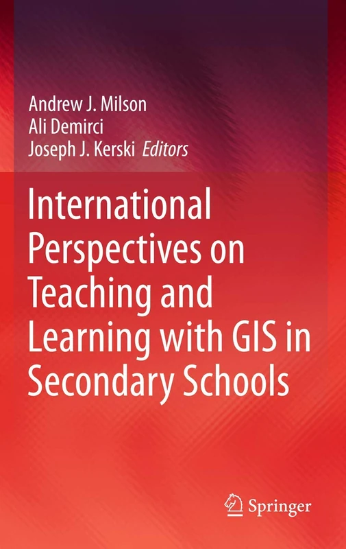
International Perspectives on Teaching and Learning with GIS in Secondary Schools
81% match

International Perspectives on Teaching and Learning with GIS in Secondary Schools

Springer
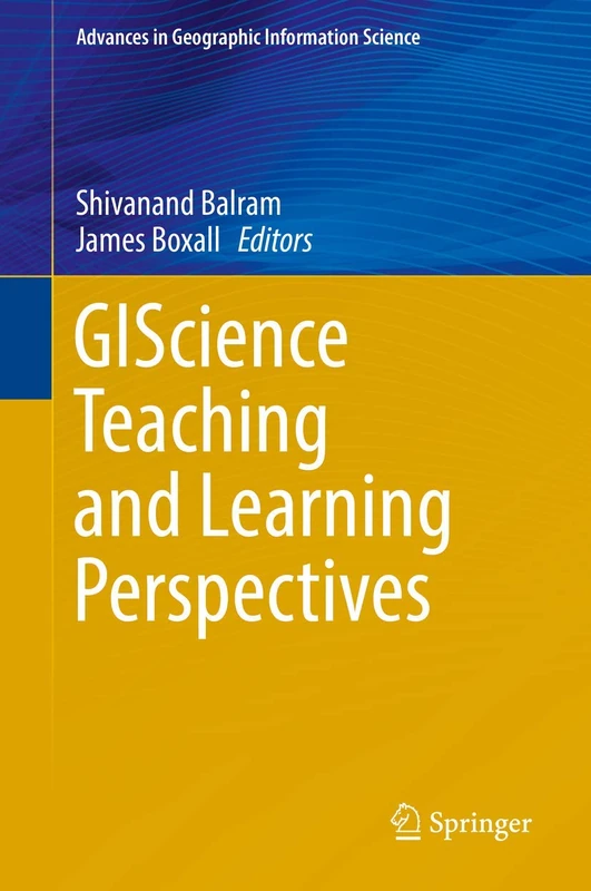
£75.31 08 Aug 2026
GIScience Teaching and Learning Perspectives (Advances in Geographic Information Science)
80% match

GIScience Teaching and Learning Perspectives (Advances in Geographic Information Science)

Springer
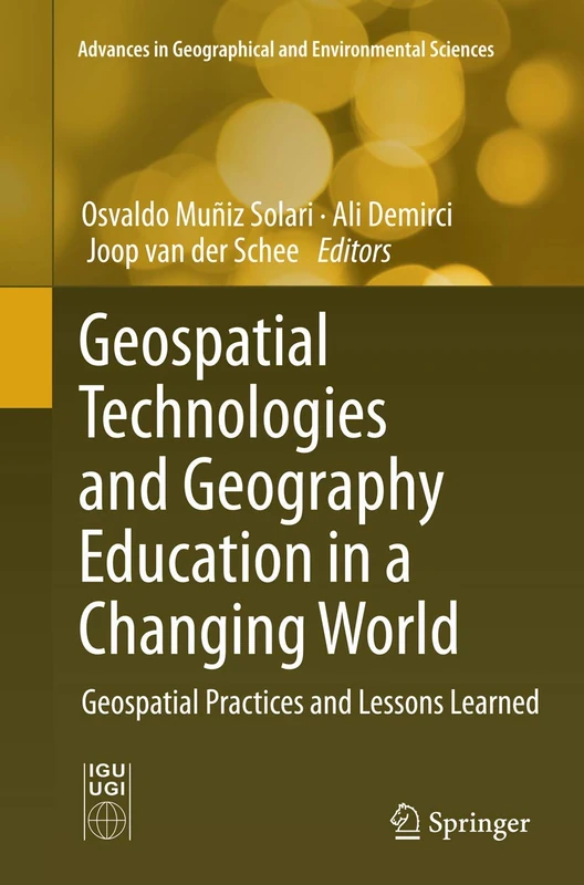
£117.93 18 Aug 2026
Geospatial Technologies and Geography Education in a Changing World: Geospatial Practices and Lessons Learned (Advances in Geographical and Environmental Sciences)
80% match

Geospatial Technologies and Geography Education in a Changing World: Geospatial Practices and Lessons Learned (Advances in Geographical and Environmental Sciences)

Springer
£108.75 17 Oct 2026
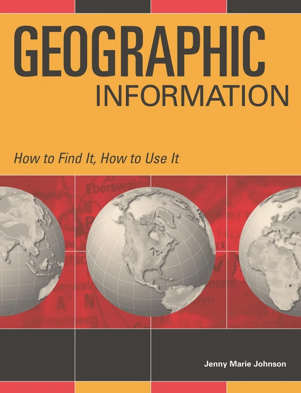
Geographic Information: How to Find It, How to Use It
79% match

Geographic Information: How to Find It, How to Use It

Bloomsbury
£48.57 31 Aug 2026
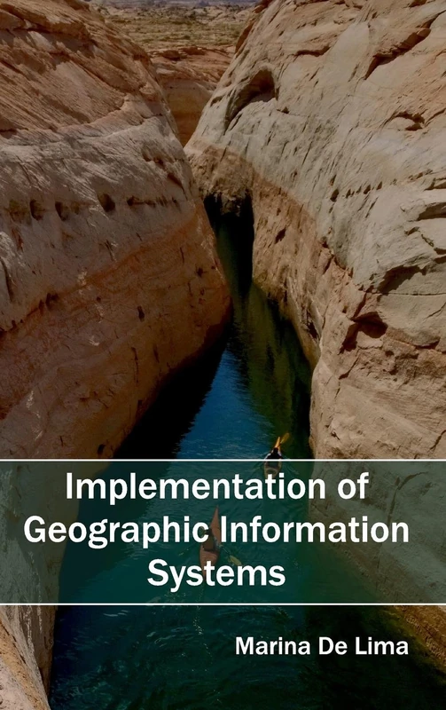
Implementation of Geographic Information Systems
79% match

Implementation of Geographic Information Systems

Clanrye International
£73.09 15 Sep 2026
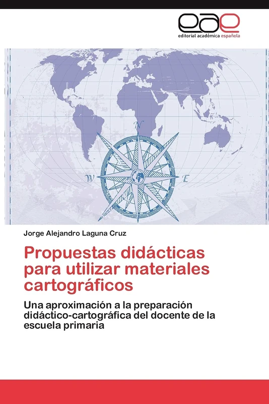
Propuestas didácticas para utilizar materiales cartográficos: Una aproximación a la preparación didáctico-cartográfica del docente de la escuela primaria
79% match

Propuestas didácticas para utilizar materiales cartográficos: Una aproximación a la preparación didáctico-cartográfica del docente de la escuela primaria

EAE Editorial Academia Espanola
£47.00 14 Sep 2026
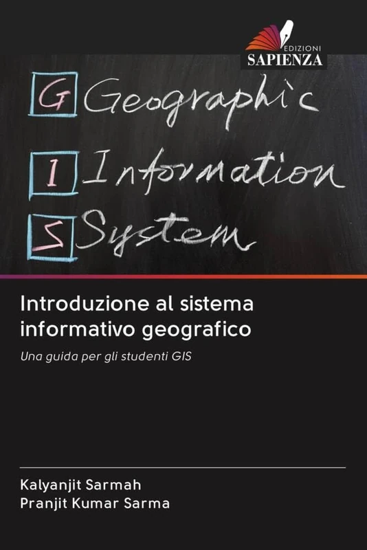
Introduzione al sistema informativo geografico: Una guida per gli studenti GIS
78% match

Introduzione al sistema informativo geografico: Una guida per gli studenti GIS

£60.00 15 Sep 2026
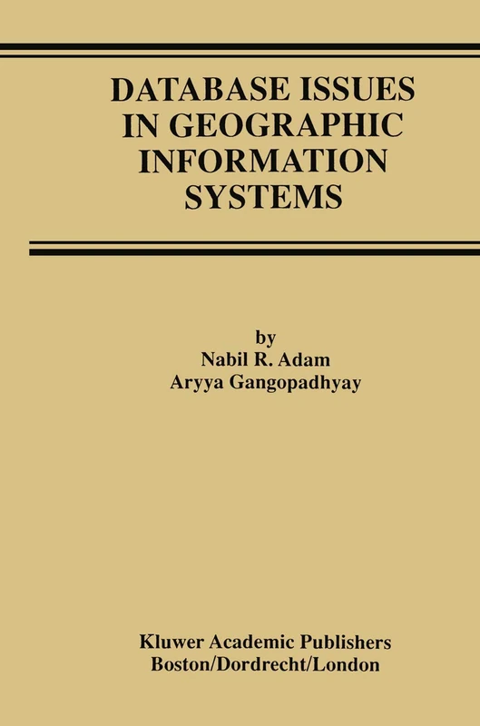
Database Issues in Geographic Information Systems: 6 (Advances in Database Systems, 6)
78% match

Database Issues in Geographic Information Systems: 6 (Advances in Database Systems, 6)

Springer

£76.42 06 Aug 2026
Die Umsetzung der EG-Wasserrahmenrichtlinie mit Hilfe von geografischen Informationssystemen: GIS Anwendung WRRL in Brandenburg
78% match

Die Umsetzung der EG-Wasserrahmenrichtlinie mit Hilfe von geografischen Informationssystemen: GIS Anwendung WRRL in Brandenburg

£148.00 22 Aug 2026
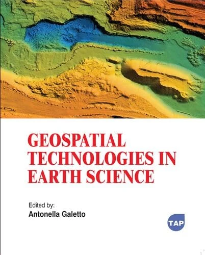
Geospatial Technologies in Earth Science
77% match

Geospatial Technologies in Earth Science

Toronto Academic Press
£77.66 31 Aug 2026
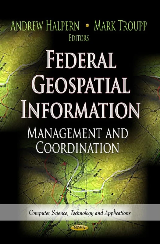
FEDERAL GEOSPATIAL INFORMATION: Management & Coordination (Computer Science, Technology and Applications: Earth Science in the 21st Century)
77% match

FEDERAL GEOSPATIAL INFORMATION: Management & Coordination (Computer Science, Technology and Applications: Earth Science in the 21st Century)

£120.17 29 Aug 2026
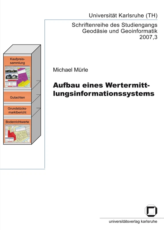
Aufbau eines Wertermittlungsinformationssystems
77% match

Aufbau eines Wertermittlungsinformationssystems

£42.80 14 Sep 2026
GPS and GNSS Technology in Geosciences
77% match

GPS and GNSS Technology in Geosciences

Elsevier
£113.16 08 Aug 2026
Managing Geographic Information System Projects (Spatial Information Systems)
77% match

Managing Geographic Information System Projects (Spatial Information Systems)

Oxford University Press
£69.99 05 Aug 2026
Evaluation Of A Public Participatory GIS Tool:: A Public Planning Case Study
77% match

Evaluation Of A Public Participatory GIS Tool:: A Public Planning Case Study

VDM Verlag
£59.00 16 Sep 2026
Fundamentals of Spatial Information Systems (Apic Studies in Data Processing)
77% match

Fundamentals of Spatial Information Systems (Apic Studies in Data Processing)

Elsevier
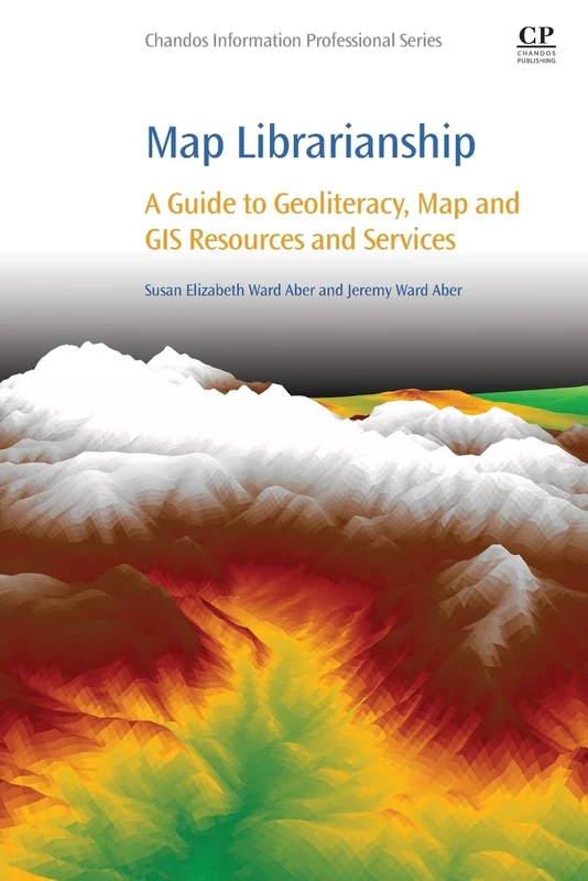
£25.00 07 Aug 2026
Map Librarianship: A Guide to Geoliteracy, Map and GIS Resources and Services (Chandos Information Professional Series)
77% match

Map Librarianship: A Guide to Geoliteracy, Map and GIS Resources and Services (Chandos Information Professional Series)

Chandos Publishing
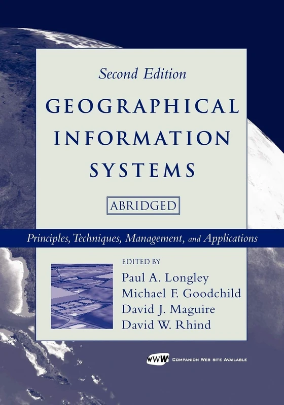
£47.70 29 Aug 2026
Geographical Information Systems: Principles, Techniques, Management and Applications, Abridged
76% match

Geographical Information Systems: Principles, Techniques, Management and Applications, Abridged

Wiley
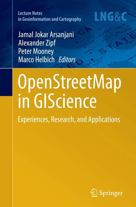
£96.76 05 Aug 2026
OpenStreetMap in GIScience: Experiences, Research, and Applications (Lecture Notes in Geoinformation and Cartography)
76% match

OpenStreetMap in GIScience: Experiences, Research, and Applications (Lecture Notes in Geoinformation and Cartography)

Springer
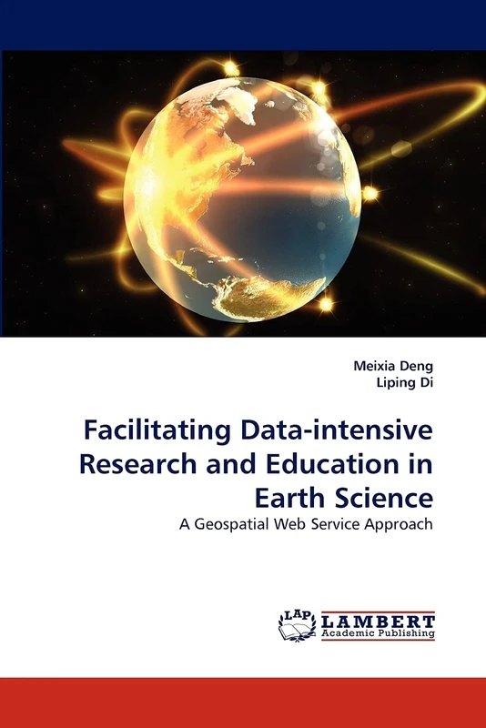
£75.96 08 Aug 2026
Facilitating Data-intensive Research and Education in Earth Science: A Geospatial Web Service Approach
76% match

Facilitating Data-intensive Research and Education in Earth Science: A Geospatial Web Service Approach

LAP Lambert Academic Publishing
£67.00 15 Sep 2026
Schätzung von Bodenmakronährstoffen mittels Fernerkundung und GIS: Analyse des Bodeninhalts

76% match

Schätzung von Bodenmakronährstoffen mittels Fernerkundung und GIS: Analyse des Bodeninhalts

£48.00 14 Sep 2026
Konzeption eines Metainformationssystems der deutschen Landesvermessung
76% match

Konzeption eines Metainformationssystems der deutschen Landesvermessung

GRIN Verlag
£55.90 15 Sep 2026
Geographic Information and Cartography for Risk and Crisis Management: Towards Better Solutions (Lecture Notes in Geoinformation and Cartography)
76% match

Geographic Information and Cartography for Risk and Crisis Management: Towards Better Solutions (Lecture Notes in Geoinformation and Cartography)

Springer
£108.01 06 Aug 2026
Geographic Information and Cartography for Risk and Crisis Management: Towards Better Solutions (Lecture Notes in Geoinformation and Cartography)
76% match

Geographic Information and Cartography for Risk and Crisis Management: Towards Better Solutions (Lecture Notes in Geoinformation and Cartography)

Springer

£109.08 15 Sep 2026