£59.00

It has never been this cheap. We have no record of a lower price.

£59 today · cheaper than every other day in the last 3 months

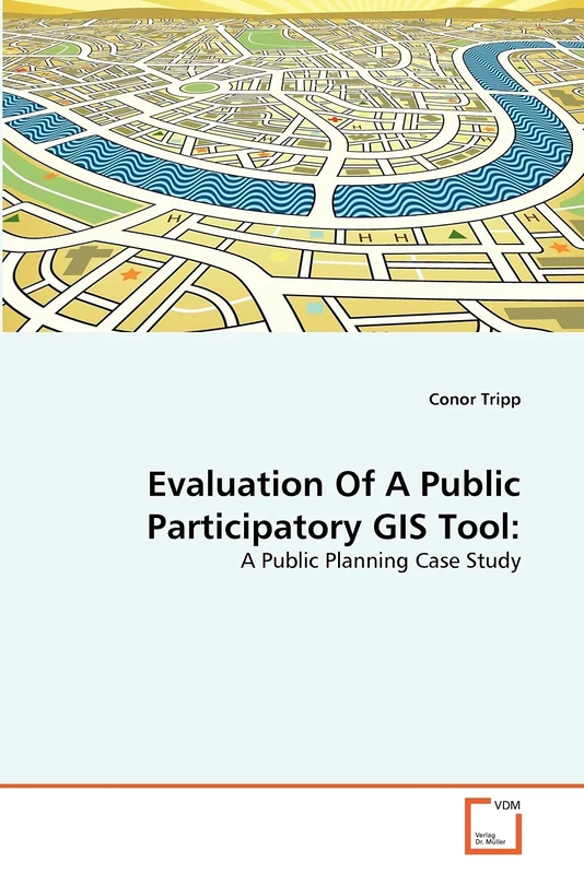
VDM Verlag Evaluation Of A Public Participatory GIS Tool:: A Public Planning Case Study

View at Amazon

Price History & Forecast

Grey patches = out of stock. Cheaper = lower on the chart. Hover for exact prices.

Last 56 days · 56 data points (no recent data)

Historical
Generating forecast…
£59.00 £56.05 £57.23 £58.41 £59.59 £60.77 £61.95 23 July 2026 05 August 2026 19 August 2026 02 September 2026 16 September 2026
View at Amazon ↗

Price data last checked 35 day(s) ago - refreshing...

NEW HERE?

Amazon shows you one price. We show you all of them.

Tosheroon watches Amazon prices so you don't have to. Every product on Amazon has a price history — we make it visible. Set the price you'd actually pay, and we'll email you the second it gets there. No app, no account, one email.

WHAT'S ON THIS PAGE

↑ Price chart
when this has been cheap or pricey
↑ Forecast
where the price is heading next
↓ Statistics
all-time high & low, recent range
↑ Price alert
name your number, we'll email you

Price Distribution

Price distribution over 56 days • 1 price levels

Days at Price
56 days 0 14 28 42 56 £59 Days at Price

Price Analysis

Most common price: £59 (56 days, 100.0%)

Price range: £59 - £59

Price levels: 1 different prices over 56 days

Description

The purpose of Public Participatory Geographic Information Systems (PPGIS) is to use the practices of GIS and mapping to promote knowledge production and efficient decision-making. This study evaluated the usefulness of a PPGIS tool compared with a traditional participatory method in an environmental planning case study within north-western British Columbia (BC), Canada. Attitudes of lay public and expert planners were surveyed on the usefulness of the PPGIS tool and paper PP (Public Participation) method. The results of this study suggest that the PPGIS tool has the ability to be used, in certain situations, as a means of providing and collecting public information. However, its use is limited for certain public groups as it requires a certain level of computer literacy and technological infrastructure. As a result, the simplicity and familiarity of traditional participatory methods need to be integrated with GIS-based participatory methods.

Product Specifications

Format
paperback
Domain
Amazon UK
Release Date
29 May 2011
Listed Since
31 May 2011

Barcode

No barcode data available

Similar Products You Might Like
Information Fusion and Geographic Information Systems (IF&GIS 2013): Environmental and Urban Challenges (Lecture Notes in Geoinformation and Cartography)
77% match

Information Fusion and Geographic Information Systems (IF&GIS 2013): Environmental and Urban Challenges (Lecture Notes in Geoinformation and Cartography)

Springer
£89.94 07 Aug 2026
GIS for Health and the Environment: Development in the Asia-Pacific Region (Lecture Notes in Geoinformation and Cartography)
77% match

GIS for Health and the Environment: Development in the Asia-Pacific Region (Lecture Notes in Geoinformation and Cartography)

Springer
£107.98 13 Aug 2026
Beyond the Flood Line:: PGIS, Political Ecology, and Flood Vulnerability in the Limpopo Province of South Africa
77% match

Beyond the Flood Line:: PGIS, Political Ecology, and Flood Vulnerability in the Limpopo Province of South Africa

VDM Verlag
£73.00 15 Sep 2026
GIS Environmental Modelling and Engineering
77% match

GIS Environmental Modelling and Engineering

CRC Press
£69.99 07 Aug 2026
Managing Geographic Information System Projects (Spatial Information Systems)
77% match

Managing Geographic Information System Projects (Spatial Information Systems)

Oxford University Press
£69.99 05 Aug 2026
Crowdsourcing Geographic Knowledge: Volunteered Geographic Information (VGI) in Theory and Practice
77% match

Crowdsourcing Geographic Knowledge: Volunteered Geographic Information (VGI) in Theory and Practice

Springer
£108.01 08 Aug 2026
Mobile Information Systems Leveraging Volunteered Geographic Information for Earth Observation: 4 (Earth Systems Data and Models, 4)
76% match

Mobile Information Systems Leveraging Volunteered Geographic Information for Earth Observation: 4 (Earth Systems Data and Models, 4)

Springer

£74.91 05 Aug 2026
GIS-Based Hydrological Model: Study in Highway Environmental Assessment
76% match

GIS-Based Hydrological Model: Study in Highway Environmental Assessment

VDM Verlag

£66.99 26 Aug 2026
A Spatial Decision Support System Approach for Interagency Partnership: A Spatial Decision Support System that links transportation, housing, and ... in a Multi-Criteria Decision tool
76% match

A Spatial Decision Support System Approach for Interagency Partnership: A Spatial Decision Support System that links transportation, housing, and ... in a Multi-Criteria Decision tool

VDM Verlag
£68.00 10 Sep 2026
Het opnemen van ruimtelijke gegevens en GIS om de SEA of Land Use Plans te verbeteren.: Kansen en beperkingen - Case studies in de Republiek Ierland -
76% match

Het opnemen van ruimtelijke gegevens en GIS om de SEA of Land Use Plans te verbeteren.: Kansen en beperkingen - Case studies in de Republiek Ierland -

£70.00 16 Sep 2026
Implementation of Geographic Information Systems
76% match

Implementation of Geographic Information Systems

Clanrye International

£73.09 15 Sep 2026
Geographical Information and Planning: European Perspectives (Advances in Spatial Science)
76% match

Geographical Information and Planning: European Perspectives (Advances in Spatial Science)

Springer

£108.01 08 Aug 2026
Die Umsetzung der EG-Wasserrahmenrichtlinie mit Hilfe von geografischen Informationssystemen: GIS Anwendung WRRL in Brandenburg

76% match

Die Umsetzung der EG-Wasserrahmenrichtlinie mit Hilfe von geografischen Informationssystemen: GIS Anwendung WRRL in Brandenburg

£148.00 22 Aug 2026
GIScience Teaching and Learning Perspectives (Advances in Geographic Information Science)
76% match

GIScience Teaching and Learning Perspectives (Advances in Geographic Information Science)

Springer

£117.93 18 Aug 2026
Geographic Information and Cartography for Risk and Crisis Management: Towards Better Solutions (Lecture Notes in Geoinformation and Cartography)
76% match

Geographic Information and Cartography for Risk and Crisis Management: Towards Better Solutions (Lecture Notes in Geoinformation and Cartography)

Springer

£108.01 06 Aug 2026
Geographic Information and Cartography for Risk and Crisis Management: Towards Better Solutions (Lecture Notes in Geoinformation and Cartography)
76% match

Geographic Information and Cartography for Risk and Crisis Management: Towards Better Solutions (Lecture Notes in Geoinformation and Cartography)

Springer

£109.08 15 Sep 2026
Linking People, Place, and Policy: A GIScience Approach
76% match

Linking People, Place, and Policy: A GIScience Approach

Springer
£76.22 23 Aug 2026
GEOSPATIAL MODELING FOR URBAN SOLID WASTE MANAGEMENT: The aim of this research was the development of models that used for solid waste management.
76% match

GEOSPATIAL MODELING FOR URBAN SOLID WASTE MANAGEMENT: The aim of this research was the development of models that used for solid waste management.

VDM Verlag

£65.00 15 Sep 2026
European Handbook of Crowdsourced Geographic Information
76% match

European Handbook of Crowdsourced Geographic Information

Ubiquity Press
£56.56 13 Aug 2026
Urban Eco-Sensitivity Mapping and Prediction: Advanced GIS and Spatial Statistical Models (Advances in Geographic Information Science)
76% match

Urban Eco-Sensitivity Mapping and Prediction: Advanced GIS and Spatial Statistical Models (Advances in Geographic Information Science)

Springer

£139.99 14 Sep 2026
Urban Tree Management: Through the use of Geographic Information Systems
75% match

Urban Tree Management: Through the use of Geographic Information Systems

£53.00 07 Aug 2026
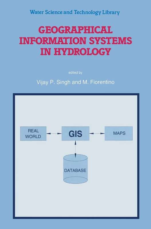
Geographical Information Systems in Hydrology: 26 (Water Science and Technology Library, 26)
75% match

Geographical Information Systems in Hydrology: 26 (Water Science and Technology Library, 26)

Springer
£121.36 08 Aug 2026
Information Fusion and Geographic Information Systems (IF&GIS' 2015): Deep Virtualization for Mobile GIS (Lecture Notes in Geoinformation and Cartography)
75% match

Information Fusion and Geographic Information Systems (IF&GIS' 2015): Deep Virtualization for Mobile GIS (Lecture Notes in Geoinformation and Cartography)

Springer

£76.42 06 Aug 2026
Bayesian Networks and GIS Techniques for Modelling Land Degradation: The Causality, Intensity and Extent
75% match

Bayesian Networks and GIS Techniques for Modelling Land Degradation: The Causality, Intensity and Extent

VDM Verlag

£51.00 28 Aug 2026