We can't find the internet
Attempting to reconnect
Something went wrong!
Hang in there while we get back on track
£47.09
Ubiquity Press Mapping and the Citizen Sensor
Price data last checked 25 day(s) ago - will refresh soon
We'll watch every seller, every day. One email when your price arrives.
This is the most expensive it has ever been. Walk away.
£47 today · previous high £47 · all-time low £45
NEW HERE?
Amazon shows you one price. We show you all of them.
Tosheroon watches Amazon prices so you don't have to. Every product on Amazon has a price history — we make it visible. Set the price you'd actually pay, and we'll email you the second it gets there. No app, no account, one email.
WHAT'S ON THIS PAGE
when this has been cheap or pricey
where the price is heading next
all-time high & low, recent range
name your number, we'll email you
Price History & Forecast
Grey patches = out of stock. Cheaper = lower on the chart. Hover for exact prices.
Last 66 days • 66 data points (No recent data available)
Price Distribution
Price distribution over 66 days • 2 price levels
Price Analysis
Most common price: £45 (64 days, 97.0%)
Price range: £45 - £47
Price levels: 2 different prices over 66 days
Description
Product Specifications
- Brand
- Ubiquity Press
- Format
- hardcover
- ASIN
- 1911529161
- Domain
- Amazon UK
- Release Date
- 11 September 2017
- Listed Since
- 07 September 2017
Barcode
No barcode data available
Similar Products You Might Like

Map-based Mobile Services: Design, Interaction and Usability (Lecture Notes in Geoinformation and Cartography)
Springer
Land use planning and remote sensing: 2 (Remote Sensing of Earth Resources and Environment, 2)
Springer
Participatory Sensing, Opinions and Collective Awareness (Understanding Complex Systems)
Springer
Geoinformation: Remote Sensing, Photogrammetry and Geographical Information Systems
CRC Press

Geographic Information and Cartography for Risk and Crisis Management: Towards Better Solutions (Lecture Notes in Geoinformation and Cartography)
Springer
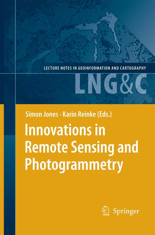
Innovations in Remote Sensing and Photogrammetry (Lecture Notes in Geoinformation and Cartography)
Springer
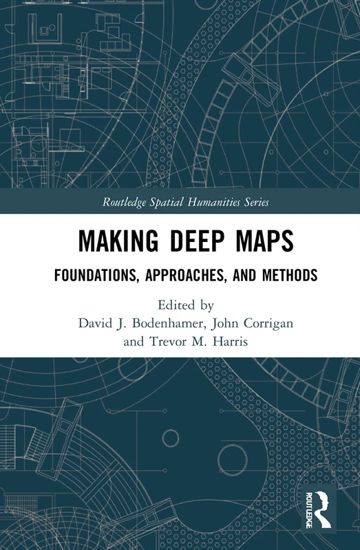
Making Deep Maps: Foundations, Approaches, and Methods (Routledge Spatial Humanities Series)
Routledge
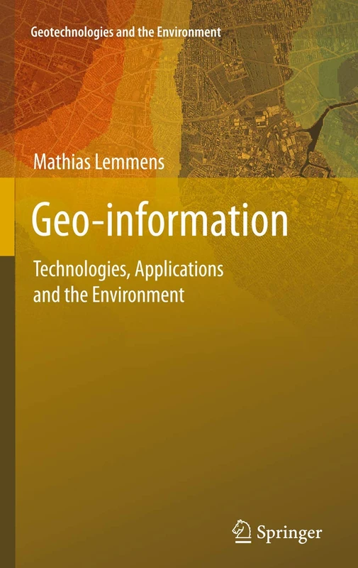
Geo-information: Technologies, Applications and the Environment: 5 (Geotechnologies and the Environment, 5)
Springer
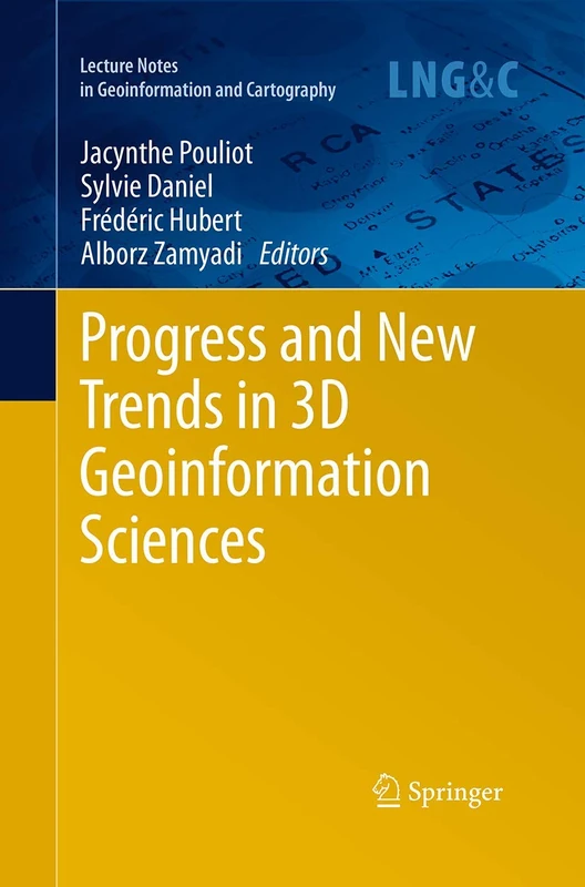
Progress and New Trends in 3D Geoinformation Sciences (Lecture Notes in Geoinformation and Cartography)
Springer
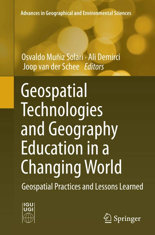
Geospatial Technologies and Geography Education in a Changing World: Geospatial Practices and Lessons Learned (Advances in Geographical and Environmental Sciences)
Springer
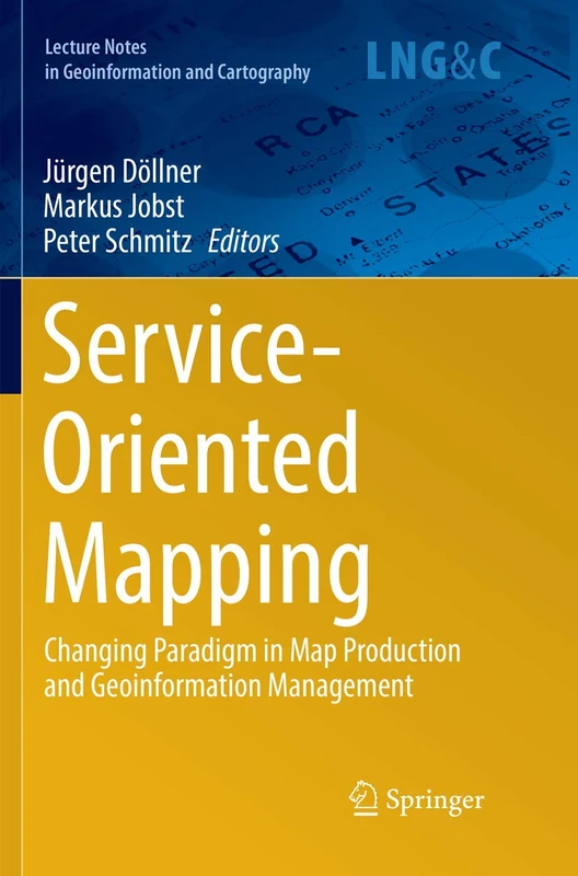
Service-Oriented Mapping: Changing Paradigm in Map Production and Geoinformation Management (Lecture Notes in Geoinformation and Cartography)
Springer
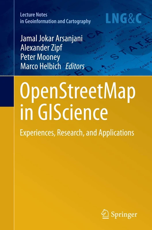
OpenStreetMap in GIScience: Experiences, Research, and Applications (Lecture Notes in Geoinformation and Cartography)
Springer
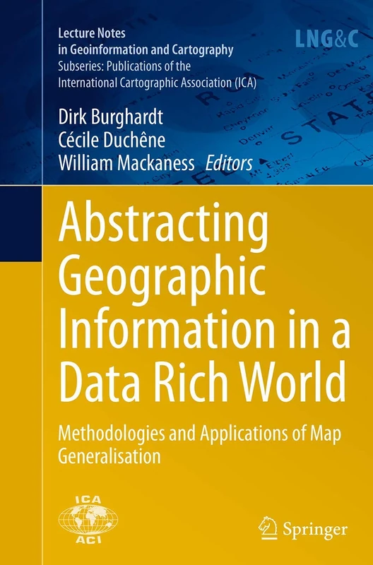
Abstracting Geographic Information in a Data Rich World: Methodologies and Applications of Map Generalisation (Lecture Notes in Geoinformation and Cartography)
Springer
Crowdsourcing Geographic Knowledge: Volunteered Geographic Information (VGI) in Theory and Practice
Springer

Mobility, Data Mining and Privacy: Geographic Knowledge Discovery
Springer
Geospatial Tools for Urban Water Resources: 7 (Geotechnologies and the Environment, 7)
Springer

Geospatial Tools for Urban Water Resources: 7 (Geotechnologies and the Environment, 7)
Springer
Land Use and Land Cover Mapping in Europe: Practices & Trends: 18 (Remote Sensing and Digital Image Processing, 18)
Springer

Citizen’s Right to the Digital City: Urban Interfaces, Activism, and Placemaking
Springer

Mapping Environmental Issues in the City: Arts and Cartography Cross Perspectives (Lecture Notes in Geoinformation and Cartography)
Springer
Remote Sensing and Global Environmental Change
Wiley

Citizen’s Right to the Digital City: Urban Interfaces, Activism, and Placemaking
Springer

Thematic Cartography for the Society (Lecture Notes in Geoinformation and Cartography)
Springer
Environmental Monitoring using GNSS: Global Navigation Satellite Systems (Environmental Science and Engineering)
Springer