We can't find the internet
Attempting to reconnect
Something went wrong!
Hang in there while we get back on track
£114.66
Wiley 3D Modeling of Buildings: Outstanding Sites (GIS And Territorial Intelligence)
Price data last checked 28 day(s) ago - will refresh soon
We'll watch every seller, every day. One email when your price arrives.
This is the most expensive it has ever been. Walk away.
£115 today · previous high £115 · all-time low £115
NEW HERE?
Amazon shows you one price. We show you all of them.
Tosheroon watches Amazon prices so you don't have to. Every product on Amazon has a price history — we make it visible. Set the price you'd actually pay, and we'll email you the second it gets there. No app, no account, one email.
WHAT'S ON THIS PAGE
when this has been cheap or pricey
where the price is heading next
all-time high & low, recent range
name your number, we'll email you
Price History & Forecast
Grey patches = out of stock. Cheaper = lower on the chart. Hover for exact prices.
Last 63 days • 63 data points (No recent data available)
Price Distribution
Price distribution over 63 days • 1 price levels
Price Analysis
Most common price: £115 (63 days, 100.0%)
Price range: £115 - £115
Price levels: 1 different prices over 63 days
Description
Product Specifications
- Brand
- Wiley
- Format
- hardcover
- ASIN
- 1848215363
- Domain
- Amazon UK
- Release Date
- 04 July 2014
- Listed Since
- 01 January 2013
Barcode
No barcode data available
Similar Products You Might Like
Remote Sensed Data and Processing Methodologies for 3D Virtual Reconstruction and Visualization of Complex Architectures
MDPI AG

Birkhauser Automatic Extraction of Man-Made Objects Book
Birkhauser

Basic Principles of Topography (Springer Geography)
Springer

Basic Principles of Topography (Springer Geography)
Springer
Digital Terrain Modeling: Acquisition, Manipulation, and Applications (Artech House Remote Sensing Library)
Artech House

Automatic Extraction of Man-Made Objects from Aerial and Space Images (II) (Monte Verita)
Birkhauser

Automatic Extraction of Man-Made Objects from Aerial and Space Images (II) (Monte Verita)
Birkhauser
Applications of 3D Measurement from Images
Whittles

UAV Photogrammetry and Remote Sensing

Geo-information: Technologies, Applications and the Environment: 5 (Geotechnologies and the Environment, 5)
Springer
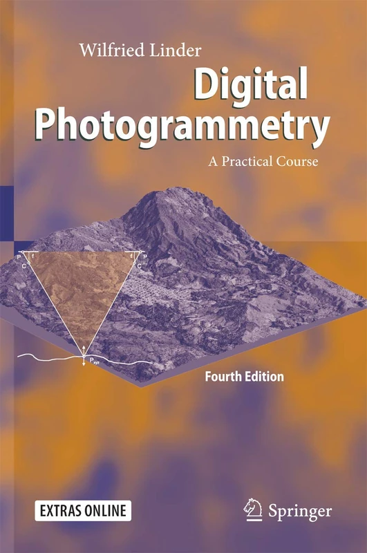
Digital Photogrammetry: A Practical Course
Springer
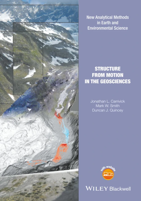
Structure from Motion in the Geosciences (Analytical Methods in Earth and Environmental Science)
Wiley
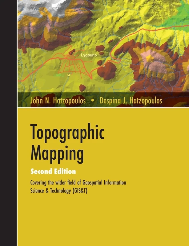
Topographic Mapping: Covering the Wider Field of Geospatial Information Science & Technology (GIS&T) SECOND EDITION

Computer Vision for Structural Dynamics and Health Monitoring (Wiley-ASME Press Series)
Wiley
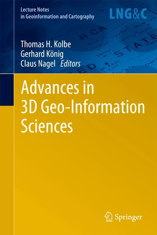
Advances in 3D Geo-Information Sciences (Lecture Notes in Geoinformation and Cartography)
Springer

Proceedings of UASG 2019: Unmanned Aerial System in Geomatics: 51 (Lecture Notes in Civil Engineering, 51)
Springer

Proceedings of UASG 2019: Unmanned Aerial System in Geomatics: 51 (Lecture Notes in Civil Engineering, 51)
Springer
Elsevier Remote Sensing of Geomorphology - Volume 23
Elsevier

Routledge Digital Twin Adoption and BIM-GIS Implementation
Routledge
True-3D in Cartography: Autostereoscopic and Solid Visualisation of Geodata (Lecture Notes in Geoinformation and Cartography)
Springer

Applied Close-Range Photogrammetry in Construction: For 3D Modeling, Quantity Surveying, and Augmented Reality
LAP Lambert Academic Publishing
Photogrammetric Survey for the Recording and Documentation of Historic Buildings (Springer Tracts in Civil Engineering)

Three Dimensional Surface Topography (Ultra Precision Technology)
Butterworth-Heinemann

Urban High-Resolution Remote Sensing: Algorithms and Modeling
CRC Press