We can't find the internet
Attempting to reconnect
Something went wrong!
Hang in there while we get back on track
£40.49
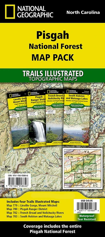
National Geographic Pisgah National Forest: Trails Illustrated Maps (National Geographic Trails Illustrated Map)
Price data last checked 48 day(s) ago - refreshing...
We'll watch every seller, every day. One email when your price arrives.
About as cheap as it gets. The only time it was cheaper was 1 month ago.
£40 today · all-time low £40 (May 2026) · usually the usual
NEW HERE?
Amazon shows you one price. We show you all of them.
Tosheroon watches Amazon prices so you don't have to. Every product on Amazon has a price history — we make it visible. Set the price you'd actually pay, and we'll email you the second it gets there. No app, no account, one email.
WHAT'S ON THIS PAGE
when this has been cheap or pricey
where the price is heading next
all-time high & low, recent range
name your number, we'll email you
Price History & Forecast
Grey patches = out of stock. Cheaper = lower on the chart. Hover for exact prices.
Last 43 days • 43 data points (No recent data available)
Price Distribution
Price distribution over 43 days • 4 price levels
Price Analysis
Most common price: £50 (31 days, 72.1%)
Price range: £40 - £50
Price levels: 4 different prices over 43 days
Description
Product Specifications
- Brand
- National Geographic
- Format
- map
- ASIN
- 1566958644
- Domain
- Amazon UK
- Release Date
- 01 January 2020
- Listed Since
- 08 September 2020
Barcode
No barcode data available
Similar Products You Might Like
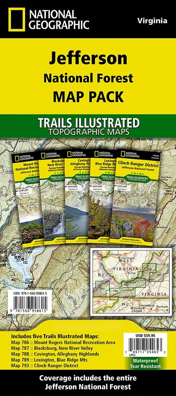
Jefferson National Forest: Trails Illustrated Maps (National Geographic Trails Illustrated Map)
National Geographic
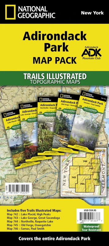
Adirondack Park: Trails Illustrated Maps (National Geographic Trails Illustrated Map)
National Geographic

Walking on the Wild Side: Long-Distance Hiking on the Appalachian Trail
Rutgers University Press
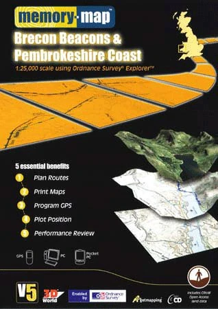
Memory-Map V5 Brecon Beacons & Pembrokeshire Coast OS 1:25,000
Memory-Map
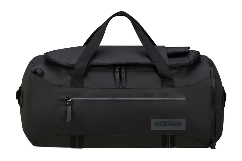
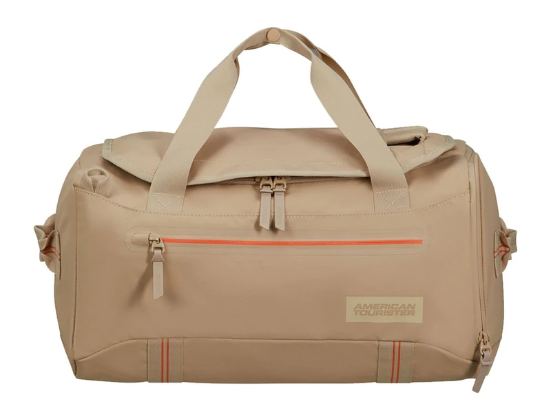
American Tourister Trailgo - Travel Bag, M, Black (Black)
American Tourister
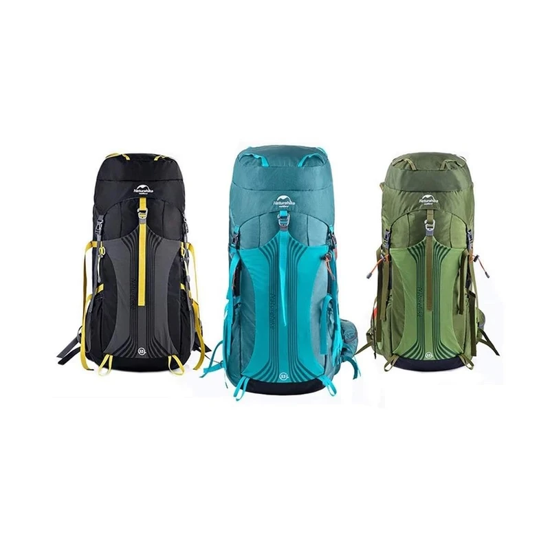
Naturehike Unisex Trekking Backpack, blue, standard size, Rucksack
Naturehike
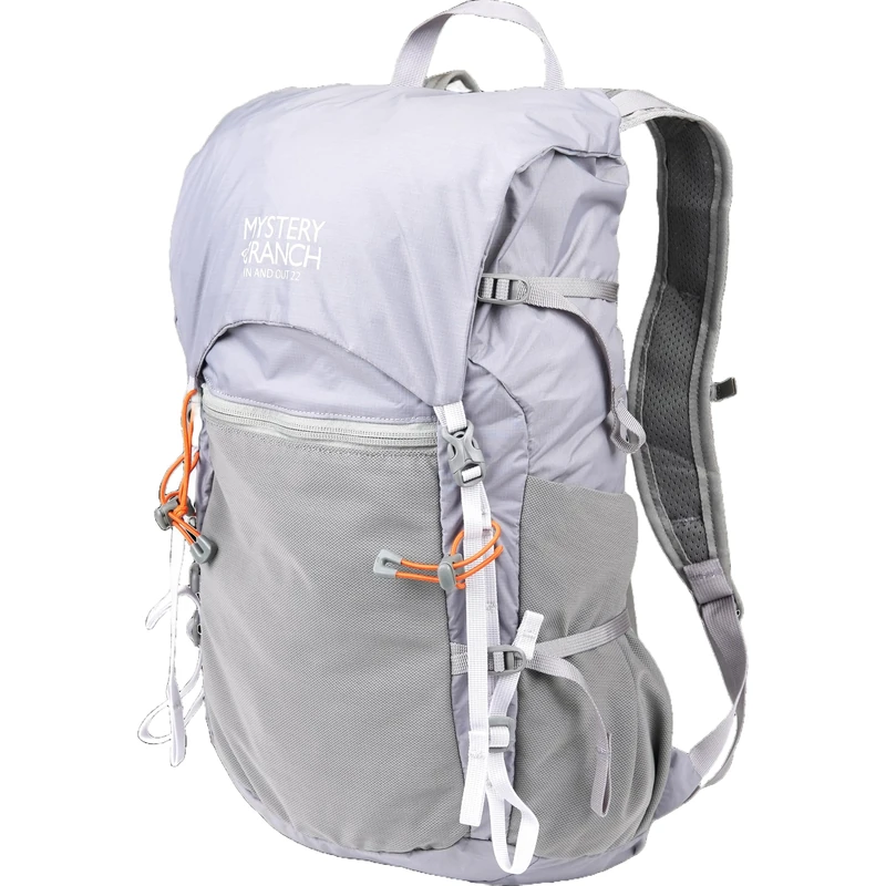
Mystery Ranch In and Out Backpack - Lightweight Foldable Pack, 22L, Aura, One Size, Daypack Backpacks
Mystery Ranch
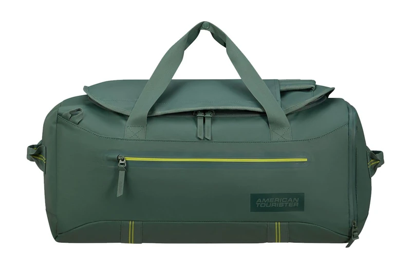
American Tourister Trailgo - Travel Bag, M, Green (Dark Forest)
American Tourister
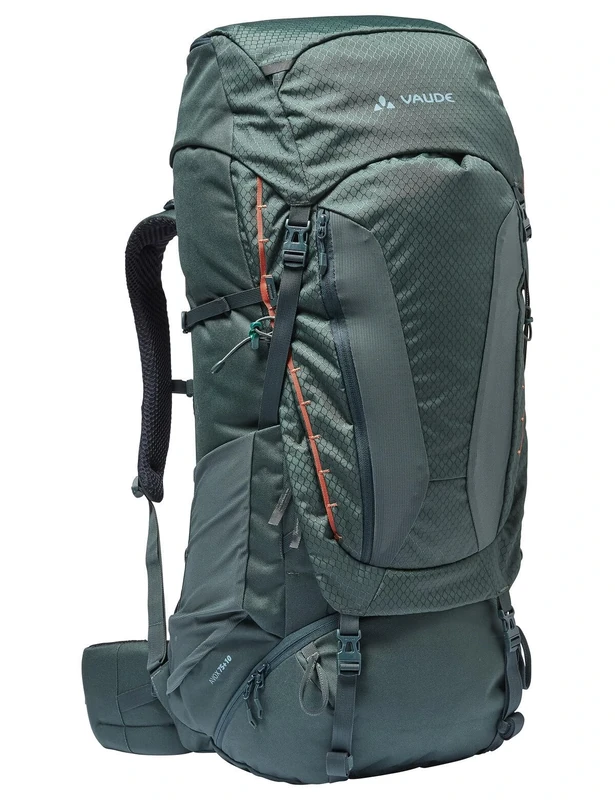
VAUDE Avox 75+10 Backpack dark forest One Size
VAUDE
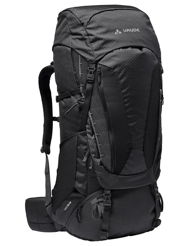
VAUDE Avox 75+10 Backpack black One Size
VAUDE
American Tourister Trailgo - Travel Bag, 30 cm, 42L, Brown (Beige)
American Tourister

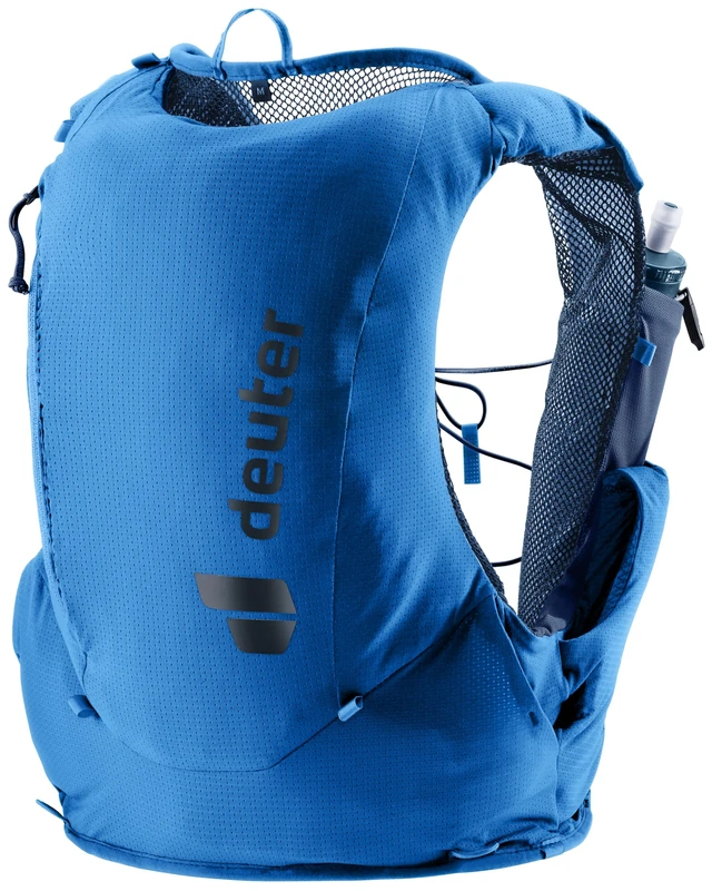
deuter Traick 9 Trail running west incl. 2x deuter Streamer Flasks 500ml
Deuter

deuter Traick 5 Trail running west incl. 2x deuter Streamer Flasks 500ml
Deuter
deuter Traick 5 Trail running west incl. 2x deuter Streamer Flasks 500ml
Deuter
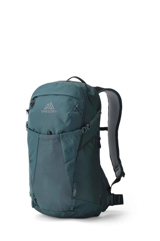
Gregory Cloud Control - Kiro 24 - Day Hiking Backpack, 53 cm, 24 L, 0.70 KG, Lightweight dayhiking backpack, reservoir compatible, flexible hipbelt, Turqouise (Mineral Teal)
Gregory
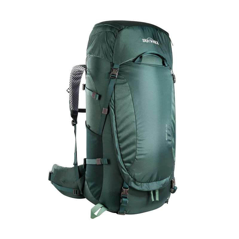
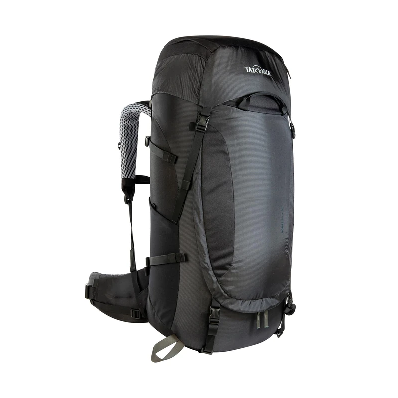
Tatonka Men's Noras 65+10 Trekking Backpack
Tatonka
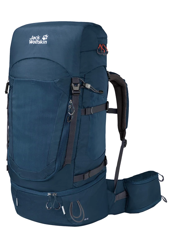
Jack Wolfskin Women's Highland Trail 45 Women's Trekking Backpack (Pack of 1)
Jack Wolfskin
Vaude 15826 Women’s Backpacks 20-29L, Eclipse, 22 Liters
VAUDE
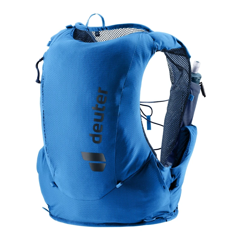
deuter Traick 9 Trail running west incl. 2x deuter Streamer Flasks 500ml
Deuter
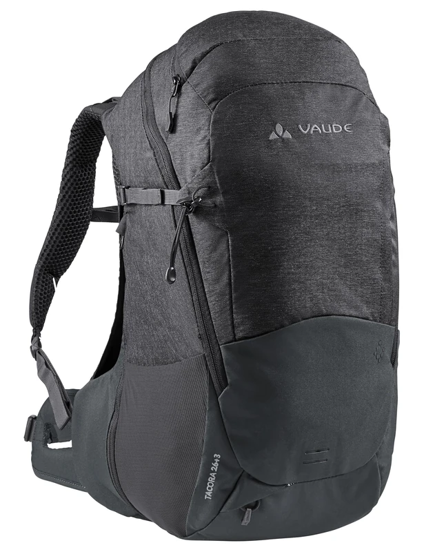
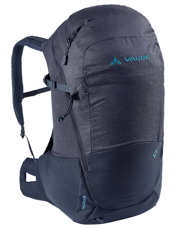
VAUDE Women's Tacora 26+3 Backpacks 20-29L (Pack of 1)
VAUDE
Tatonka Men's Noras 65+10 Trekking Backpack
Tatonka
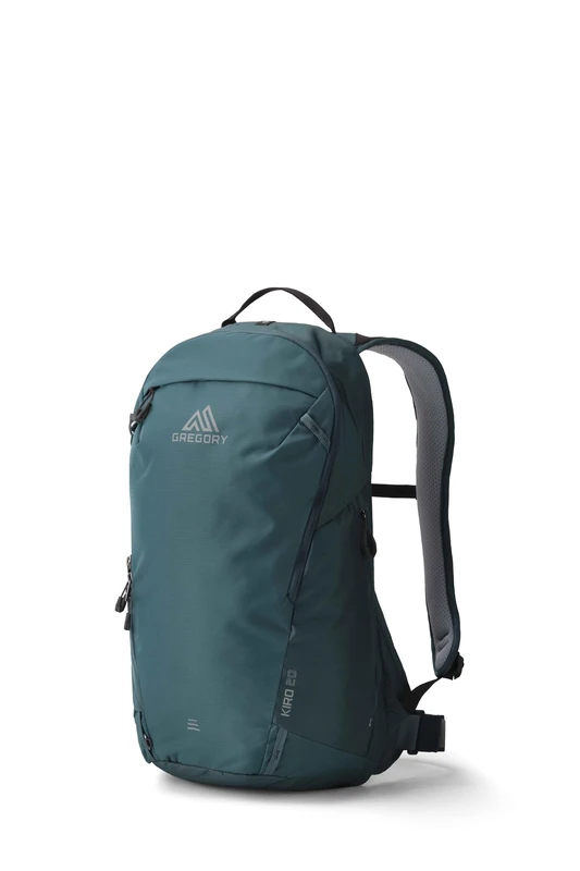
Gregory Cloud Control - Kiro 20 - Day Hiking Backpack, 50 cm, 20 L, 0.66 KG, Lightweight dayhiking backpack, reservoir compatible, flexible hipbelt, Turqouise (Mineral Teal)
Gregory
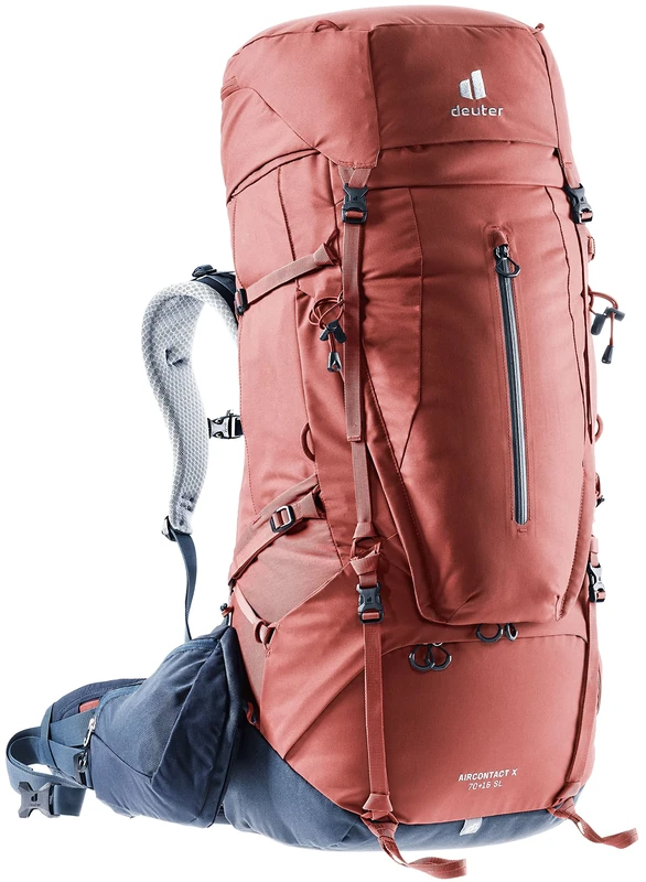
deuter Aircontact Core 70+15 SL Women’s Trekking Backpack, Size M
Deuter
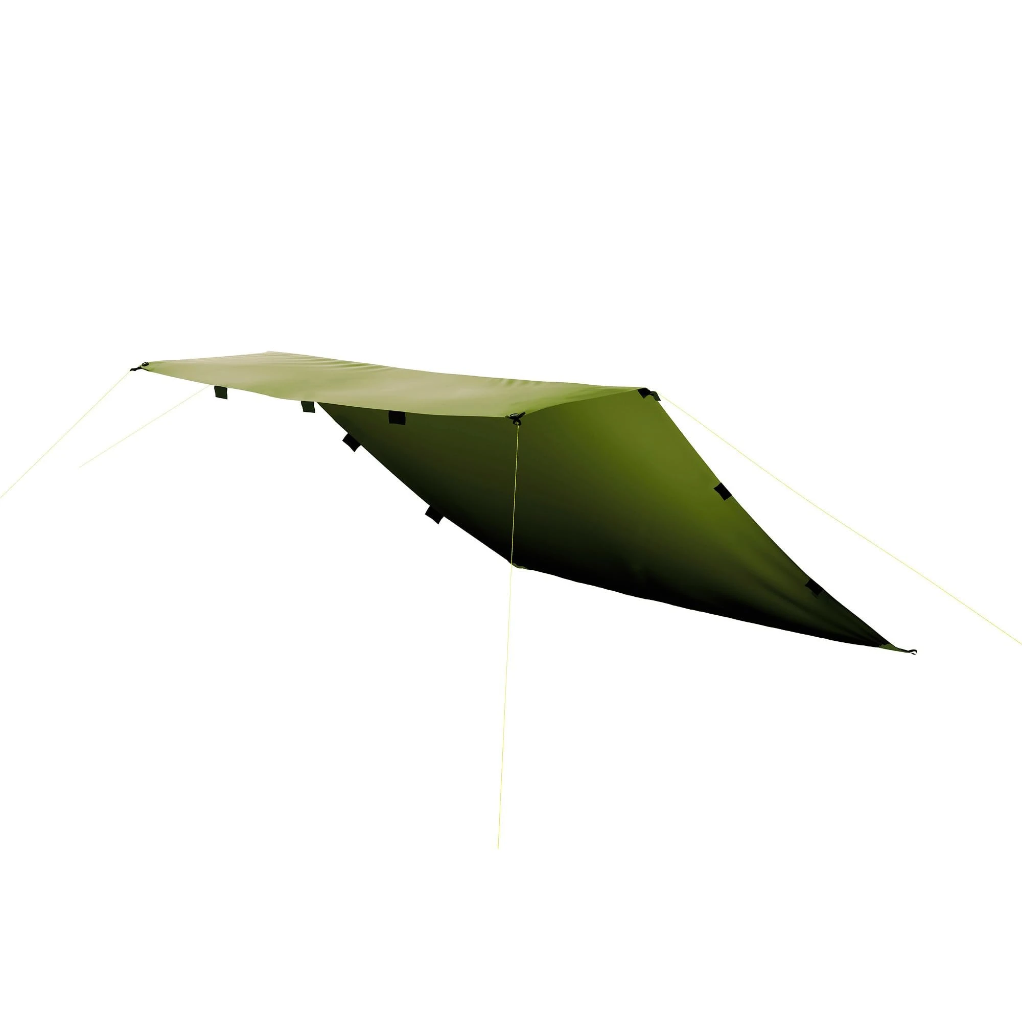
Tatonka Tarp 1 - 425x445 cm Olive Green Waterproof Tent Tarpaulin
Tatonka