We can't find the internet
Attempting to reconnect
Something went wrong
Hang in there while we get back on track
£100.00
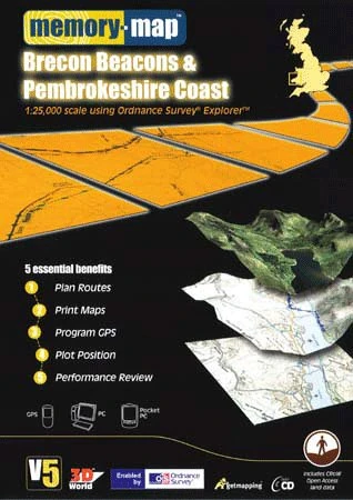
Memory-Map V5 Brecon Beacons & Pembrokeshire Coast OS 1:25,000
Price data last checked 12 day(s) ago - will refresh soon
We'll watch every seller, every day. One email when your price arrives.
It has never been this cheap. We have no record of a lower price.
£100 today · cheaper than every other day in the last 3 months
NEW HERE?
Amazon shows you one price. We show you all of them.
Tosheroon watches Amazon prices so you don't have to. Every product on Amazon has a price history — we make it visible. Set the price you'd actually pay, and we'll email you the second it gets there. No app, no account, one email.
WHAT'S ON THIS PAGE
when this has been cheap or pricey
where the price is heading next
all-time high & low, recent range
name your number, we'll email you
Price History & Forecast
Grey patches = out of stock. Cheaper = lower on the chart. Hover for exact prices.
Last 79 days · 79 data points (no recent data)
Price Distribution
Price distribution over 79 days • 1 price levels
Price Analysis
Most common price: £100 (79 days, 100.0%)
Price range: £100 - £100
Price levels: 1 different prices over 79 days
Description
Key Features
Plan Routes. See leg distance, compass bearing, total journey length and time
Print Maps. Create personalised maps from your PC or save routes to a Pocket PC
Program GPS. Program Routes and waypoints into your GPS
Plot GPS. Moving map display real time GPS position displayed on PC or Pocket PC
Performance Review. Import GPS tracks to see where you've been, speed and distance covered.
Product Specifications
- Brand
- Memory-Map
- ASIN
- 1845141008
- Domain
- Amazon UK
- Release Date
- 21 October 2005
- Listed Since
- 10 May 2005
Barcode
No barcode data available
Similar Products You Might Like
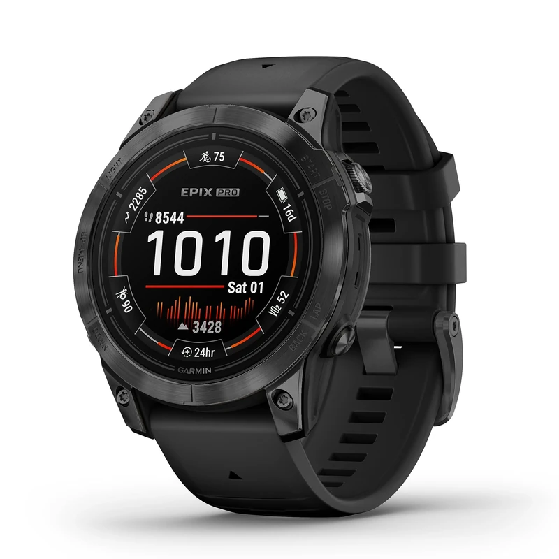
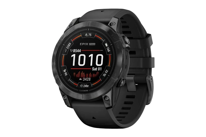
Garmin [Renewed epix PRO Gen 2 GPS 47mm Premium Smartwatch, AMOLED, Built-in Flashlight, up to 16 days battery life, Black (Renewed)
Garmin
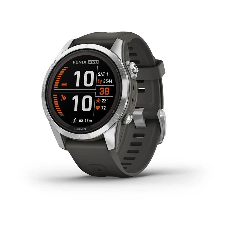
Garmin fēnix 7S PRO SOLAR, 42mm GPS smartwatch, multisport, SOLAR charging, advanced health & training features, touchscreen & Buttons, up to 14 days battery life, Graphite
Garmin
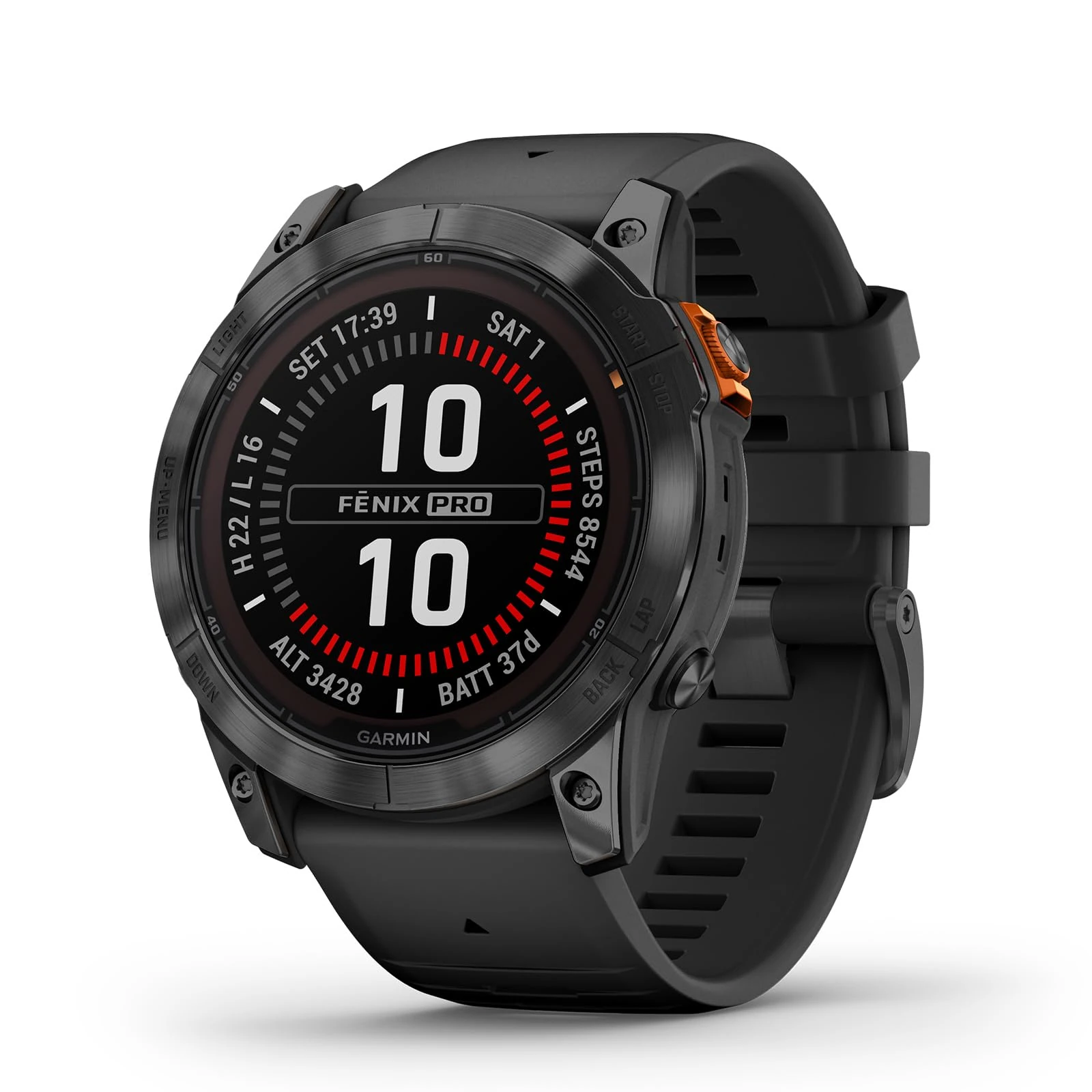
Garmin f nix 7X Pro Solar GPS Watch - 51mm, 37-Day Battery, Flashlight
Garmin
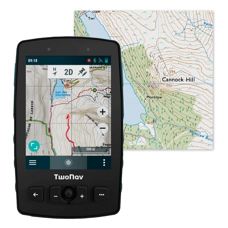
TwoNav Aventura 2 Plus + Great Britain Topo full map, handheld GPS with 3.7-inch wide screen, buttons and joystick for mountaineering, mountaineering, trekking or hiking. Colour Turquoise
TwoNav
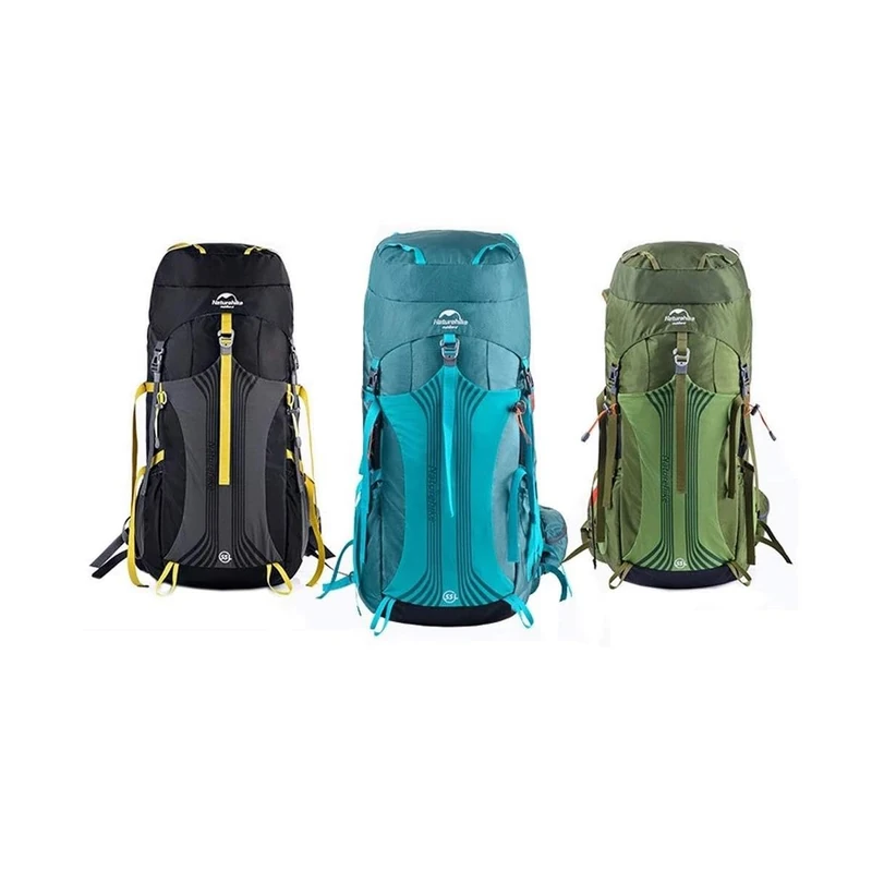
Naturehike Unisex Trekking Backpack, blue, standard size, Rucksack
Naturehike
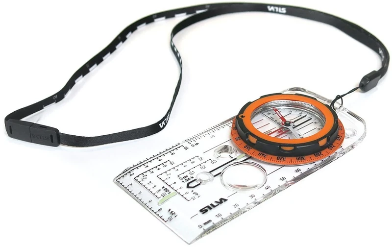
Explorer PRO Compass, Clear, One Size (Pack of 1)
Silva
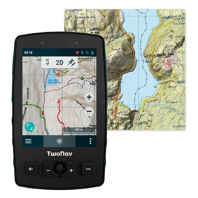
TwoNav Adventure 2 Plus (32 GB) + Full Mole Spain Map, Handheld GPS with 3.7 Inch Wide Screen, Buttons and Joystick for Mountaineering, Climbing, Trekking or Hiking. Turquoise
TwoNav
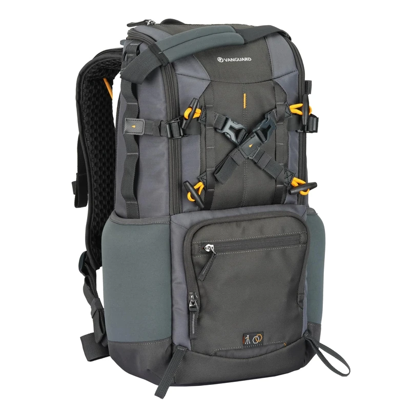
VANGUARD ALTA SKY 42 BACKPACK FOR UP TO 600MM LENS AND ADDITIONAL LENSES- 17 LITRES
VANGUARD
Garmin epix PRO Gen 2 GPS 47mm - AMOLED Smartwatch
Garmin
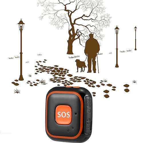
GPS Tracker for Elderly - Real-time Tracking, Fall Alarm, Voice Call, Historical Track Playback, Ideal for Autism and Alzheimer’s Support
Generic

Garmin fenix 7 PRO 47mm Multisport GPS Smartwatch - Graphite
Garmin
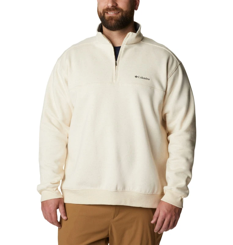
Columbia Men's Hart Mountain Ii Half Zip Hiking Shirt, Oatmeal Heather, Small
Columbia
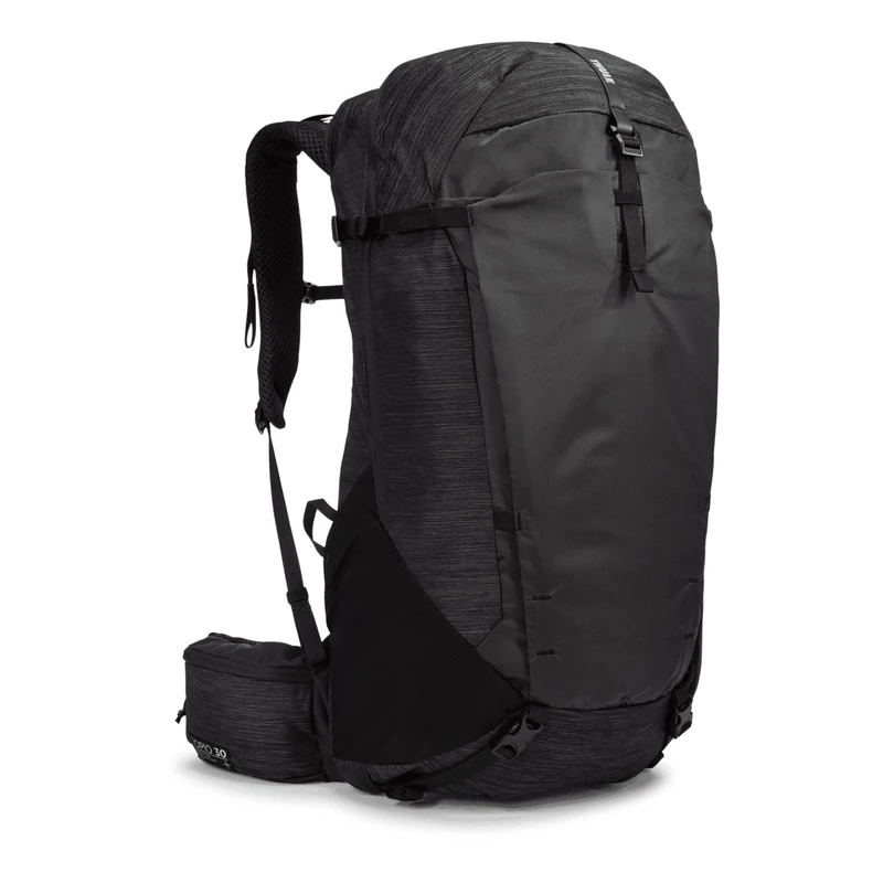
Thule Topio 30l Backpacking Pack Black, 30
Thule
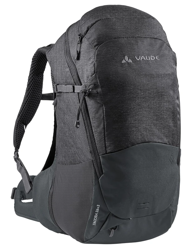
Vaude Unisex Grimming 24 Hiking Backpack (Pack of 1)
VAUDE
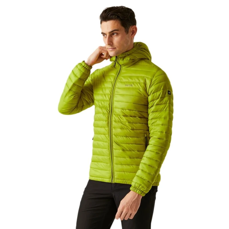
Regatta Mens Hurden Quilted Jacket Water Repellent Insulated Walking Hiking Coat
Regatta

Regatta Mens Hurden Quilted Jacket Water Repellent Insulated Walking Hiking Coat
Regatta
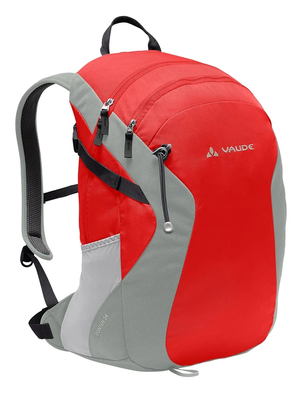
VAUDE Women's Tacora 26+3 Backpacks 20-29L (Pack of 1)
VAUDE
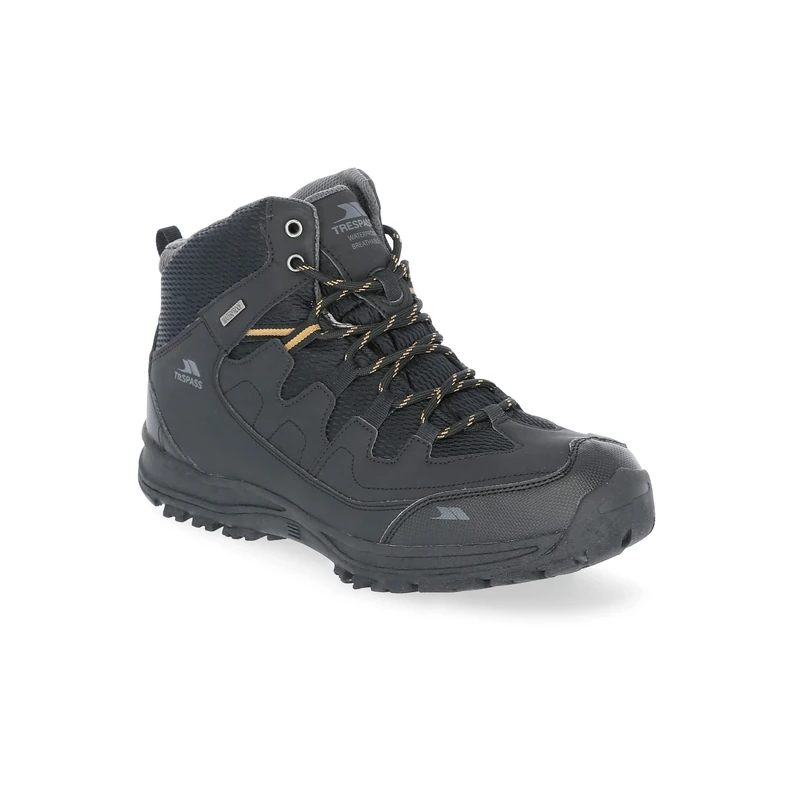
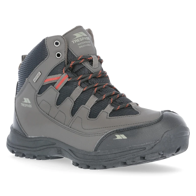
Trespass Mens Boots Finley - Mid Cut, Waterproof, Breathable Membrane, Ankle Support, Cushioned Collar & Tongue, Durable Toe & Heel Guard, PU/Textile Upper, TPR Outsole
Trespass
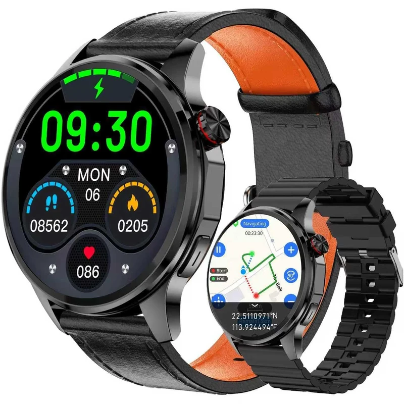
Smart Watch, GPS & Free Maps, AI, Bluetooth Call & Text, Health, Sleep & Fitness Tracker, 100+ Sport Modes, Waterproof, Long Battery Life, Waterproof, Compass, Barometer, 2 Bands Smartwatch for Men
PUBU
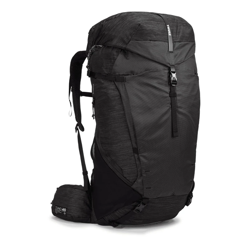
Thule Topio 40l Backpacking Pack Black, 40
Thule
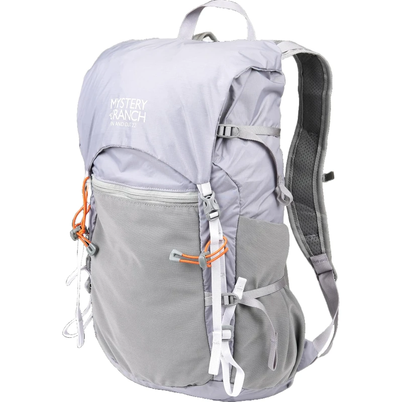
Mystery Ranch In and Out Backpack - Lightweight Foldable Pack, 22L, Aura, One Size, Daypack Backpacks
Mystery Ranch
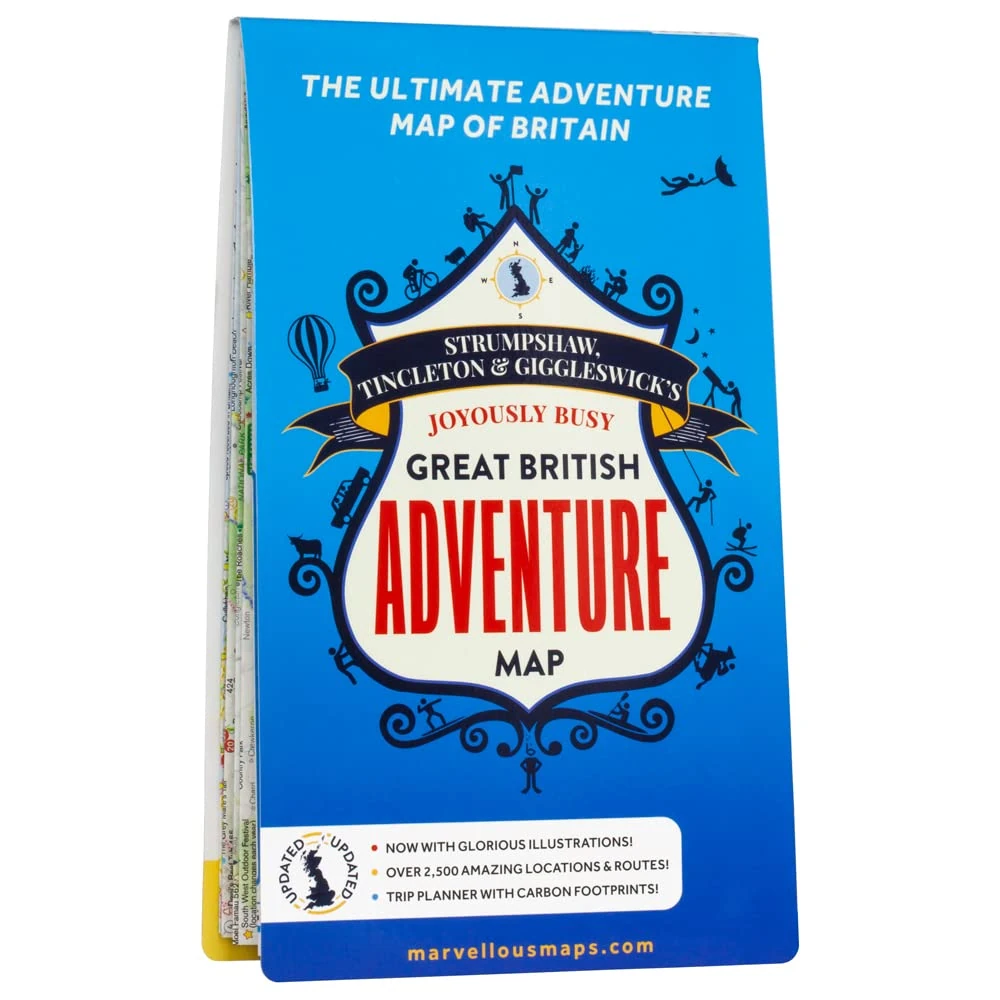
Marvellous Maps Great British Adventure Map - 2023 Updated
Marvellous Maps
Trespass Mens Boots Finley - Mid Cut, Waterproof, Breathable Membrane, Ankle Support, Cushioned Collar & Tongue, Durable Toe & Heel Guard, PU/Textile Upper, TPR Outsole
Trespass
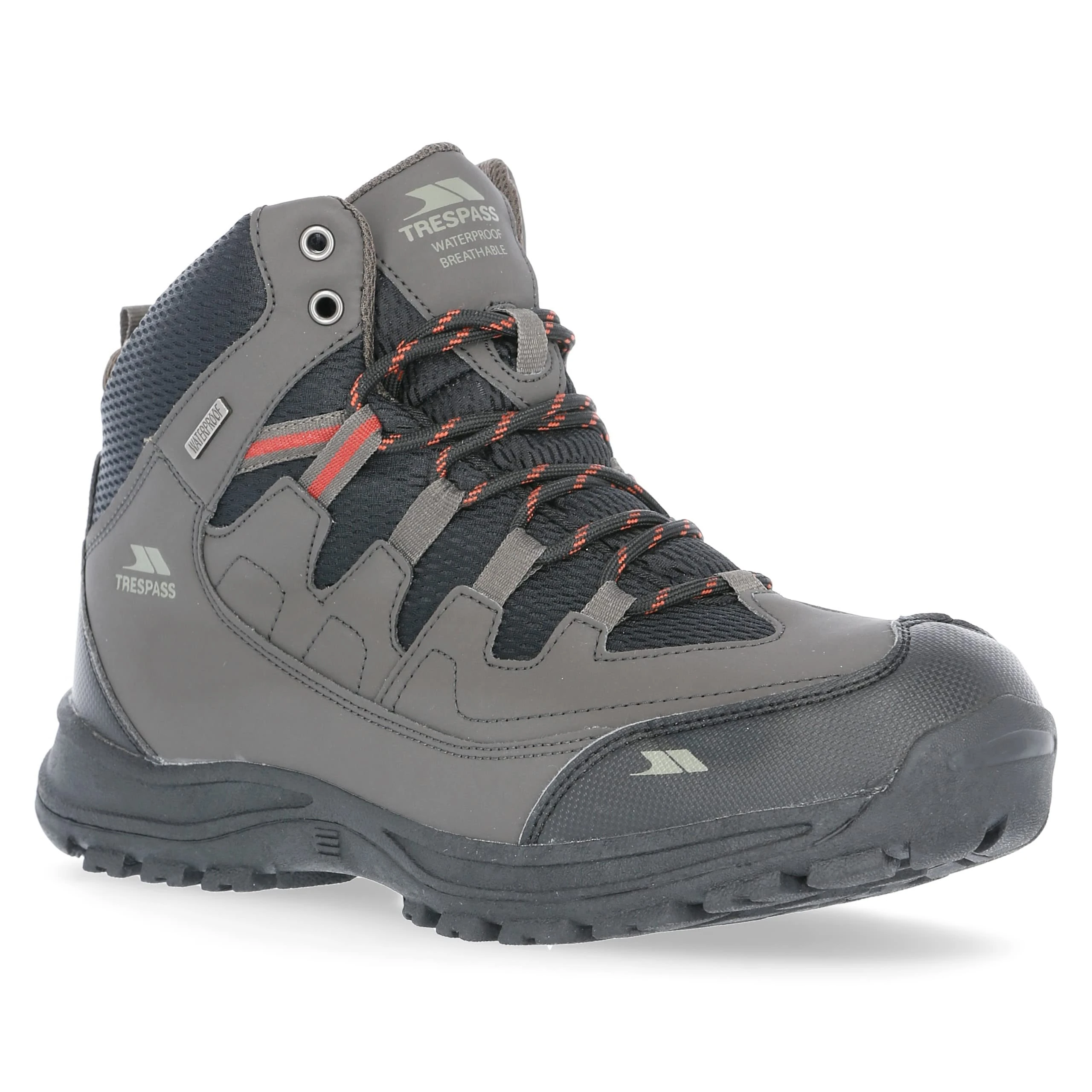
Trespass Mens Boots Finley - Mid Cut, Waterproof, Breathable Membrane, Ankle Support, Cushioned Collar & Tongue, Durable Toe & Heel Guard, PU/Textile Upper, TPR Outsole
Trespass