We can't find the internet
Attempting to reconnect
Something went wrong
Hang in there while we get back on track
£133.98
CRC Press Remote Sensing and GIS Accuracy Assessment (Mapping Science)
Price data last checked 28 day(s) ago - will refresh soon
We'll watch every seller, every day. One email when your price arrives.
About as cheap as it gets. The only time it was cheaper was 2 months ago.
£134 today · all-time low £132 (May 2026) · usually £134
NEW HERE?
Amazon shows you one price. We show you all of them.
Tosheroon watches Amazon prices so you don't have to. Every product on Amazon has a price history — we make it visible. Set the price you'd actually pay, and we'll email you the second it gets there. No app, no account, one email.
WHAT'S ON THIS PAGE
when this has been cheap or pricey
where the price is heading next
all-time high & low, recent range
name your number, we'll email you
Price History & Forecast
Grey patches = out of stock. Cheaper = lower on the chart. Hover for exact prices.
Last 63 days · 63 data points (no recent data)
Price Distribution
Price distribution over 63 days • 3 price levels
Price Analysis
Most common price: £134 (30 days, 47.6%)
Price range: £132 - £134
Price levels: 3 different prices over 63 days
Description
Product Specifications
- Brand
- CRC Press
- Format
- hardcover
- ASIN
- 156670443X
- Domain
- Amazon UK
- Release Date
- 27 July 2004
- Listed Since
- 10 February 2007
Barcode
No barcode data available
Similar Products You Might Like

Remote Sensing Handbook, Volume I: Sensors, Data Normalization, Harmonization, Cloud Computing, and Accuracies: 1
CRC Press
Remote Sensing Techniques and GIS Applications in Earth and Environmental Studies
Information Science Reference
Essential Image Processing and GIS for Remote Sensing (Essential (John Wiley & Sons))
Wiley
Satellite Remote Sensing for Earth and Space Science: Earth Observation & Geo-informatics
LAP Lambert Academic Publishing
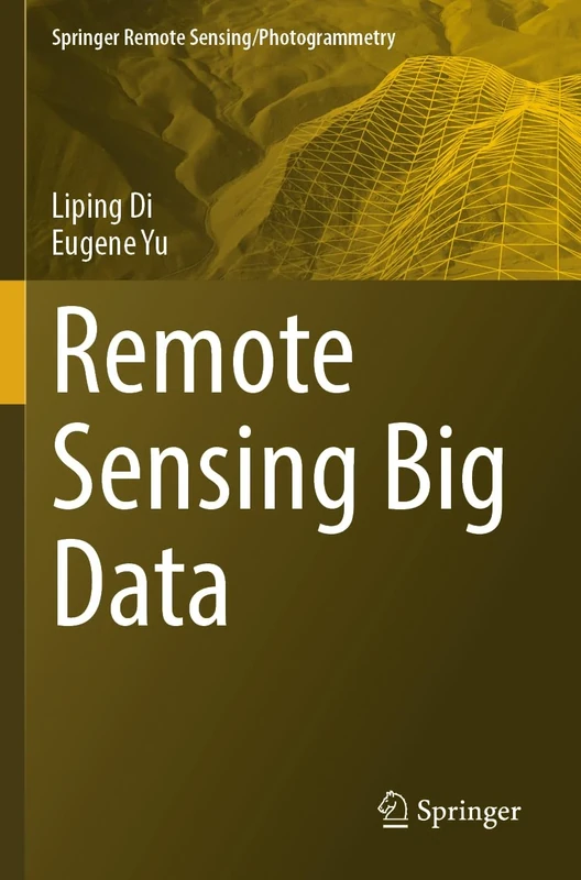
Remote Sensing Big Data (Springer Remote Sensing/Photogrammetry)
Springer

Geoinformation: Remote Sensing, Photogrammetry and Geographic Information Systems, Second Edition
CRC Press
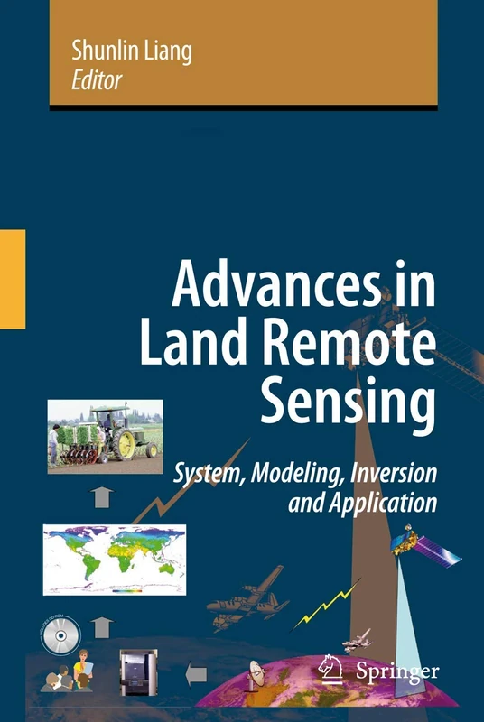
Advances in Land Remote Sensing: System, Modeling, Inversion and Application
Springer
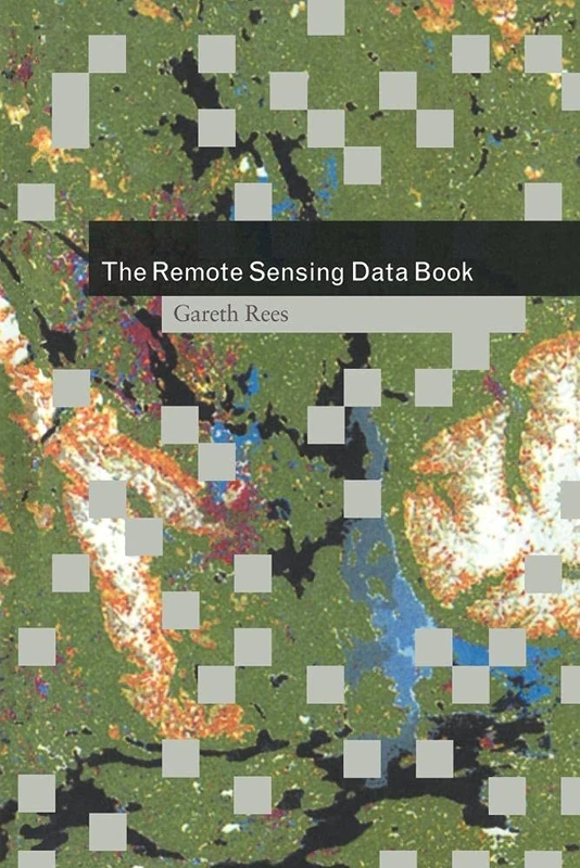
The Remote Sensing Data Book
Cambridge University Press
The Remote Sensing Data Book
Cambridge University Press
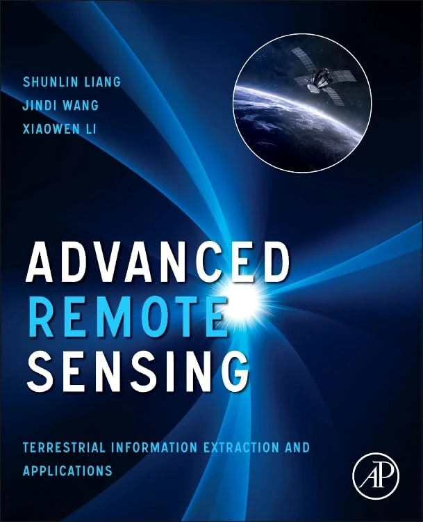
Advanced Remote Sensing: Terrestrial Information Extraction and Applications
Academic Press
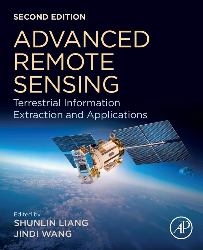
Academic Press Advanced Remote Sensing - 2nd Edition Book
Academic Press

Remote Sensing Applications for the Urban Environment
CRC Press

Object and Pattern Recognition in Remote Sensing: Modelling and Monitoring Environmental and Anthropogenic Objects and Change Processes
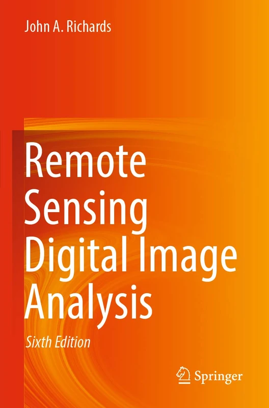
Remote Sensing Digital Image Analysis
Springer
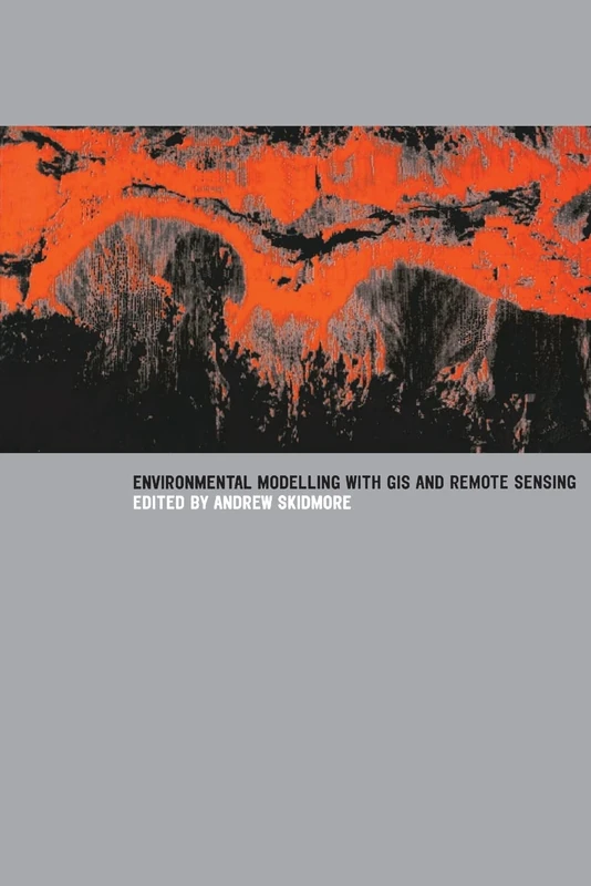
Environmental Modelling with GIS and Remote Sensing (Geographic Information Systems Workshop)
CRC Press
CRC Press - Image Processing and Data Analysis with ERDAS IMAGINE
CRC Press
Uncertainty Modelling and Quality Control for Spatial Data
CRC Press

Urban Remote Sensing: Monitoring, Synthesis and Modeling in the Urban Environment
Wiley-Blackwell
Uncertainty Modelling and Quality Control for Spatial Data
CRC Press
Remote Sensed Data and Processing Methodologies for 3D Virtual Reconstruction and Visualization of Complex Architectures
MDPI AG

Multisensor Data Fusion and Machine Learning for Environmental Remote Sensing
CRC Press
Remote Sensing of Urban and Suburban Areas: 10 (Remote Sensing and Digital Image Processing, 10)
Springer
Advances in Photogrammetry, Remote Sensing and Spatial Information Sciences: 2008 ISPRS Congress Book: 7 (ISPRS Book Series)
CRC Press