We can't find the internet
Attempting to reconnect
Something went wrong
Hang in there while we get back on track
£100.00
CRC Press Computing in Geographic Information Systems
72 black & white illustrations, 11 black
Price data last checked 16 day(s) ago - will refresh soon
We'll watch every seller, every day. One email when your price arrives.
It has never been this cheap. We have no record of a lower price.
£100 today · cheaper than every other day in the last 3 months
NEW HERE?
Amazon shows you one price. We show you all of them.
Tosheroon watches Amazon prices so you don't have to. Every product on Amazon has a price history — we make it visible. Set the price you'd actually pay, and we'll email you the second it gets there. No app, no account, one email.
WHAT'S ON THIS PAGE
when this has been cheap or pricey
where the price is heading next
all-time high & low, recent range
name your number, we'll email you
Price History & Forecast
Grey patches = out of stock. Cheaper = lower on the chart. Hover for exact prices.
Last 75 days · 75 data points (no recent data)
Price Distribution
Price distribution over 75 days • 1 price levels
Price Analysis
Most common price: £100 (75 days, 100.0%)
Price range: £100 - £100
Price levels: 1 different prices over 75 days
Description
Product Specifications
- Brand
- CRC Press
- Format
- hardcover
- ASIN
- 1482223147
- Domain
- Amazon UK
- Release Date
- 10 July 2014
- Listed Since
- 01 November 2013
Barcode
No barcode data available
Similar Products You Might Like
Encyclopedia of Geographic Information Science
Sage Publications
GIS, Environmental Modeling and Engineering
CRC Press
GIS and Geocomputation for Water Resource Science and Engineering (Wiley Works)
Wiley
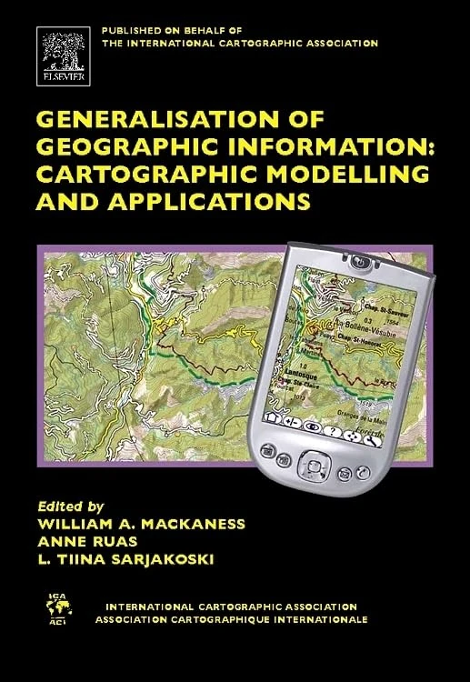
Elsevier Generalisation of Geographic Information Book
Elsevier

GIS and Geocomputation for Water Resource Science and Engineering (Wiley Works)
American Geophysical Union
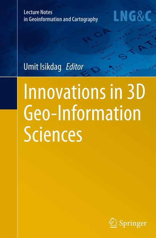
Innovations in 3D Geo-Information Sciences (Lecture Notes in Geoinformation and Cartography)
Springer
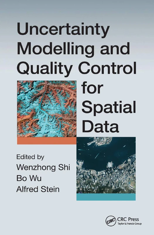
Uncertainty Modelling and Quality Control for Spatial Data
CRC Press
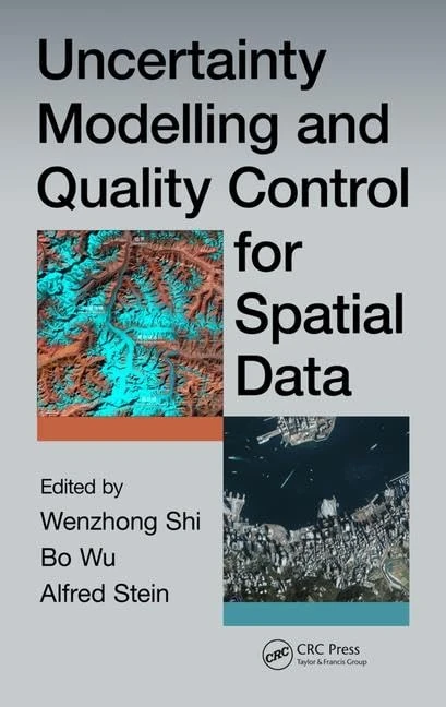
Uncertainty Modelling and Quality Control for Spatial Data
CRC Press
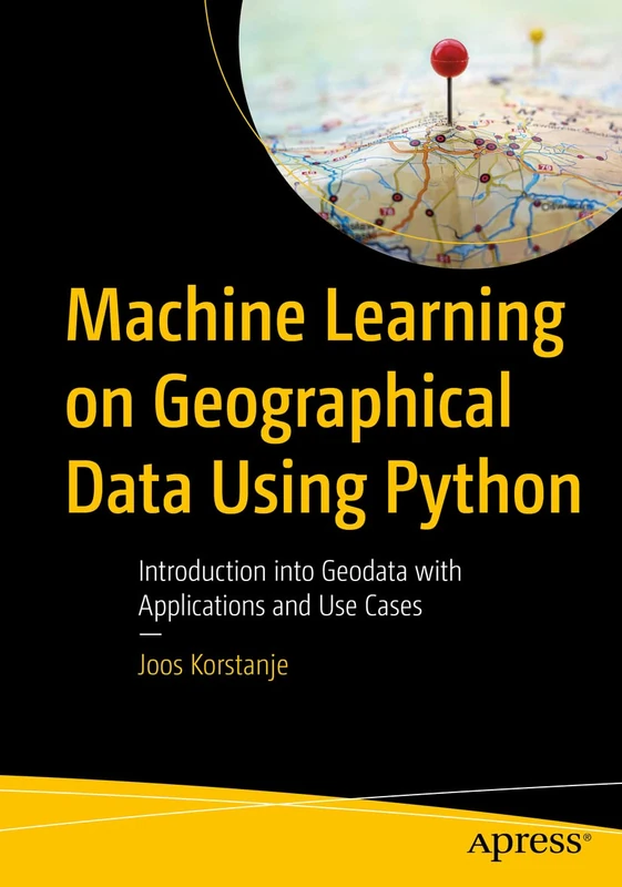
Machine Learning on Geographical Data Using Python: Introduction into Geodata with Applications and Use Cases
Apress

Teaching Geographic Information Science and Technology in Higher Education
Wiley
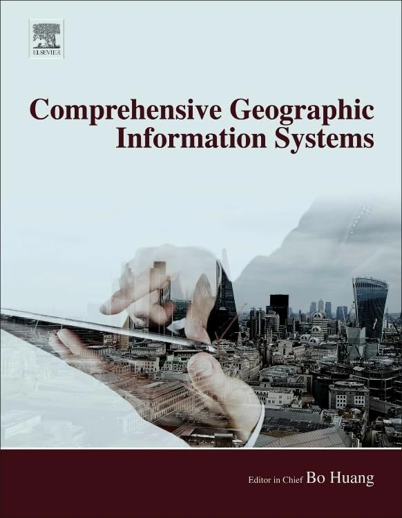
Comprehensive Geographic Information Systems
Elsevier

GIS and Environmental Modeling: Progress and Research Issues
Wiley
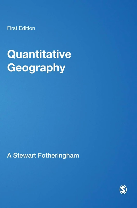
Quantitative Geography: Perspectives on Spatial Data Analysis
Sage Publications
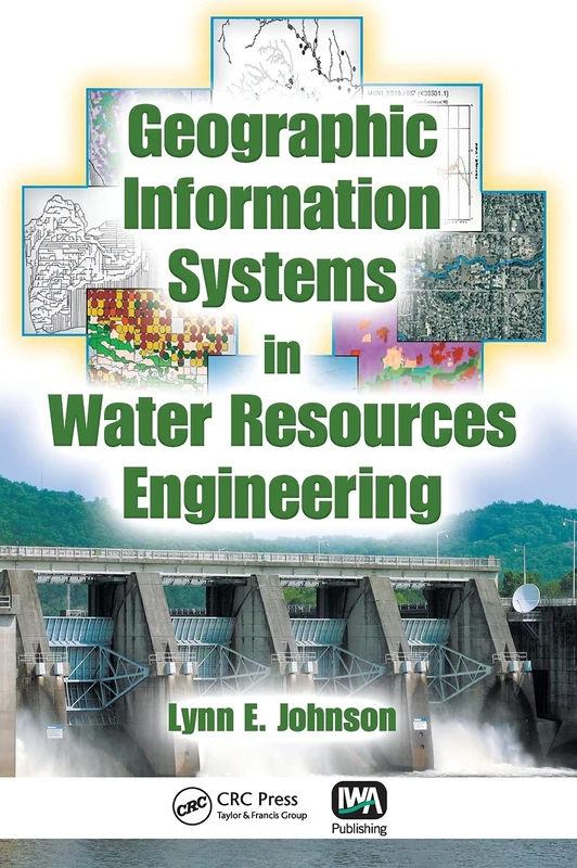
Geographic Information Systems in Water Resources Engineering
CRC Press
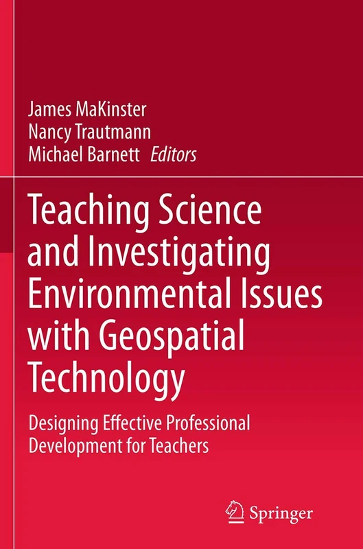
Teaching Science and Investigating Environmental Issues with Geospatial Technology: Designing Effective Professional Development for Teachers
Springer
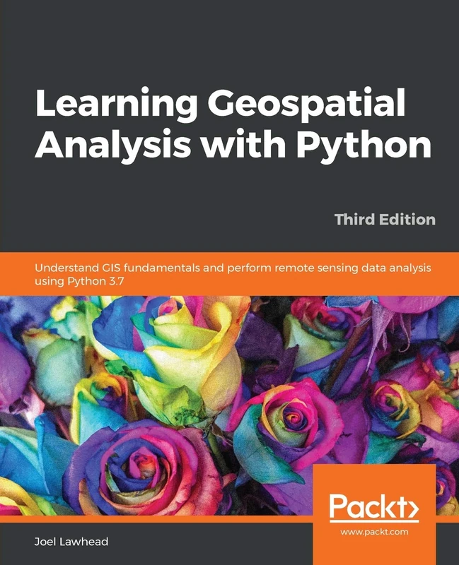
Learning Geospatial Analysis with Python: Understand GIS fundamentals and perform remote sensing data analysis using Python 3.7
Packt Publishing

CyberGIS for Geospatial Discovery and Innovation: 118 (GeoJournal Library, 118)
Springer
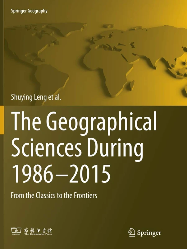
The Geographical Sciences During 1986―2015: From the Classics To the Frontiers (Springer Geography)
Springer
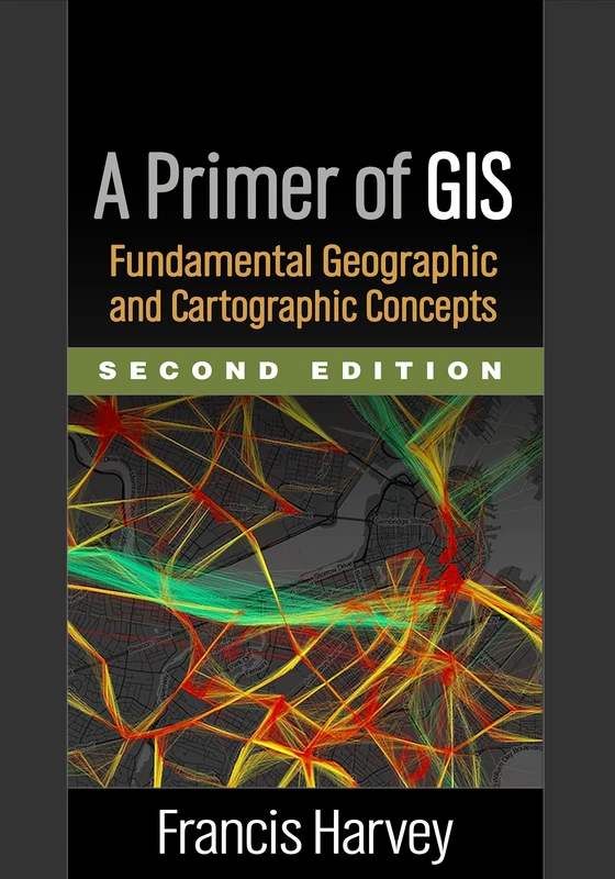
A Primer of GIS, Second Edition: Fundamental Geographic and Cartographic Concepts
The Guilford Press
Cartography: Visualization of Geospatial Data, Fourth Edition
CRC Press
Local Models for Spatial Analysis
CRC Press
Strategic GIS Planning and Management in Local Government
CRC Press
CyberGIS for Geospatial Discovery and Innovation: 118 (GeoJournal Library, 118)
Springer
Discover QGIS 3.x - Second Edition: A Workbook for Classroom or Independent Study
Locate Press