We can't find the internet
Attempting to reconnect
Something went wrong
Hang in there while we get back on track
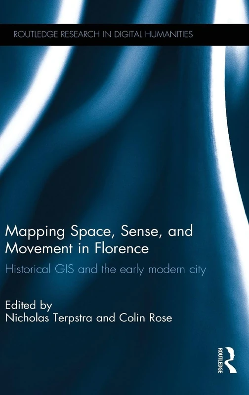
£118.77
It has never been this cheap. We have no record of a lower price.
£119 today · cheaper than every other day in the last 3 months
Routledge Mapping Space, Sense, and Movement in Florence: Historical GIS and the Early Modern City (Routledge Research in Digital Humanities)
We'll watch every seller, every day. One email when your price arrives.
Price History & Forecast
Grey patches = out of stock. Cheaper = lower on the chart. Hover for exact prices.
Last 67 days · 67 data points (no recent data)
NEW HERE?
Amazon shows you one price. We show you all of them.
Tosheroon watches Amazon prices so you don't have to. Every product on Amazon has a price history — we make it visible. Set the price you'd actually pay, and we'll email you the second it gets there. No app, no account, one email.
WHAT'S ON THIS PAGE
when this has been cheap or pricey
where the price is heading next
all-time high & low, recent range
name your number, we'll email you
Price Distribution
Price distribution over 67 days • 2 price levels
Price Analysis
Most common price: £119 (54 days, 80.6%)
Price range: £119 - £151
Price levels: 2 different prices over 67 days
Description
Product Specifications
- Brand
- Routledge
- Format
- hardcover
- ASIN
- 1138184896
- Domain
- Amazon UK
- Release Date
- 11 February 2016
- Listed Since
- 07 September 2015
Barcode
No barcode data available
Similar Products You Might Like
Culture and Politics of Regime Change in Italy 1494-1559
Routledge
Art, Theory, and Culture in Sixteenth-Century Italy: From Techne to Metatechne
Cambridge University Press
Siting Federico Barocci and the Renaissance Aesthetic (Visual Culture in Early Modernity)
Routledge
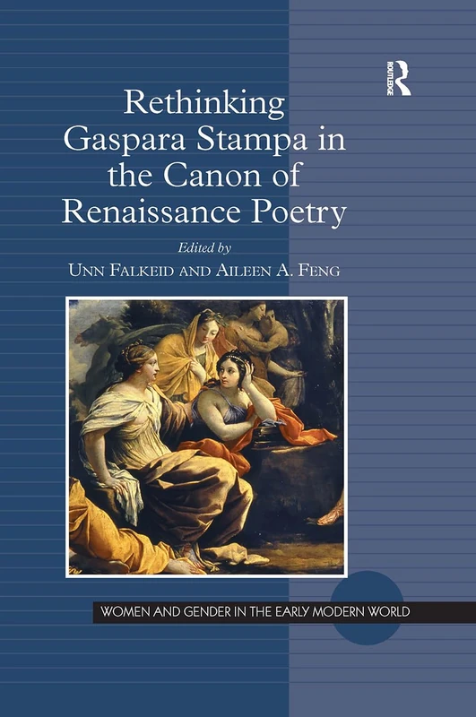
Rethinking Gaspara Stampa in the Canon of Renaissance Poetry (Women and Gender in the Early Modern World)
Routledge
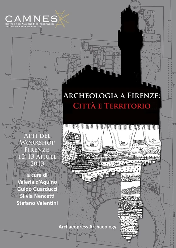
Archeologia a Firenze: Città e Territorio: Atti del Workshop. Firenze, 12-13 Aprile 2013
Archaeopress Archaeology
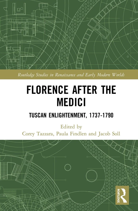
Florence After the Medici: Tuscan Enlightenment, 1737-1790: 8 (Routledge Studies in Renaissance and Early Modern Worlds of Knowledge)
Routledge