We can't find the internet
Attempting to reconnect
Something went wrong
Hang in there while we get back on track
£42.09
O'Reilly Python for Geospatial Data Analysis: Theory, Tools, and Practice for Location Intelligence
Price data last checked 43 day(s) ago - refreshing...
We'll watch every seller, every day. One email when your price arrives.
About as cheap as it gets. The only time it was cheaper was 1 month ago.
£42 today · all-time low £41 (May 2026) · usually the usual
NEW HERE?
Amazon shows you one price. We show you all of them.
Tosheroon watches Amazon prices so you don't have to. Every product on Amazon has a price history — we make it visible. Set the price you'd actually pay, and we'll email you the second it gets there. No app, no account, one email.
WHAT'S ON THIS PAGE
when this has been cheap or pricey
where the price is heading next
all-time high & low, recent range
name your number, we'll email you
Price History & Forecast
Grey patches = out of stock. Cheaper = lower on the chart. Hover for exact prices.
Last 48 days · 48 data points (no recent data)
Price Distribution
Price distribution over 48 days • 3 price levels
Price Analysis
Most common price: £45 (32 days, 66.7%)
Price range: £41 - £45
Price levels: 3 different prices over 48 days
Description
Key Features
Python for Geospatial Data Analysis: Theory, Tools, and Practice for Location Intelligence
Books Subjects Computers Technology Programming Languages Python Books Subjects Computers Technology Databases Big Data Data Modeling Design Books Subjects Computers Technology General Books Subjects
Product Type: ABIS_BOOK
Brand: O Reilly Media
Product Specifications
- Brand
- O'Reilly
- Format
- paperback
- ASIN
- 109810479X
- Domain
- Amazon UK
- Release Date
- 04 November 2022
- Listed Since
- 22 March 2022
Barcode
No barcode data available
Similar Products You Might Like
Geospatial Data Science Essentials: 101 Practical Python Tips and Tricks
Geographic Data Science with Python (Chapman & Hall/CRC Texts in Statistical Science)
Chapman and Hall/CRC
Geospatial Application Development Using Python Programming (Advances in Geospatial Technologies)
Python Geospatial Analysis Cookbook
Packt Publishing
Applied Geospatial Data Science with Python: Leverage geospatial data analysis and modeling to find unique solutions to environmental problems
Packt Publishing
Mastering Geospatial Analysis with Python: Explore GIS processing and learn to work with GeoDjango, CARTOframes and MapboxGL-Jupyter
Packt Publishing
Learning R for Geospatial Analysis: Leverage the power of R to elegantly manage crucial geospatial analysis tasks
Packt Publishing
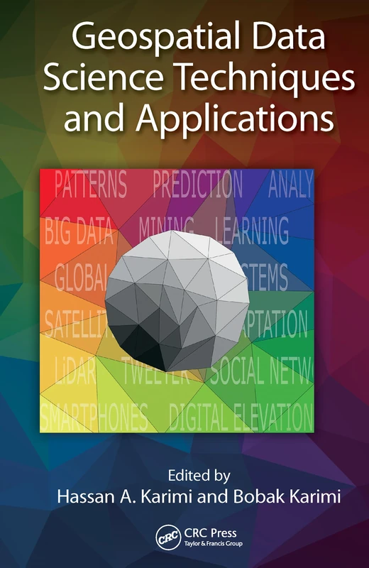
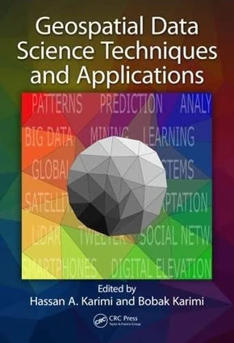
Geospatial Data Science Techniques and Applications
CRC Press
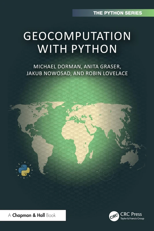
Geocomputation with Python (Chapman & Hall/CRC The Python Series)
Chapman and Hall/CRC
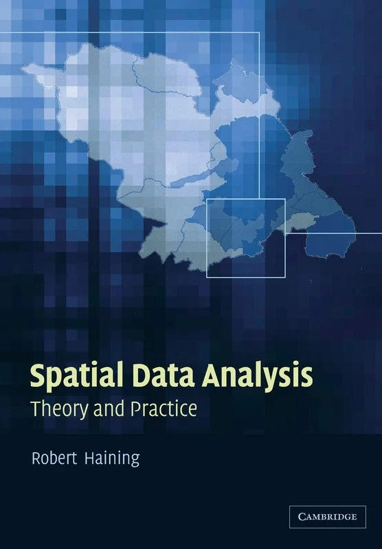
Spatial Data Analysis: Theory and Practice
Cambridge University Press
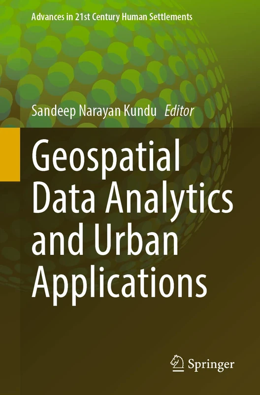
Springer - Geospatial Data Analytics and Urban Applications
Springer
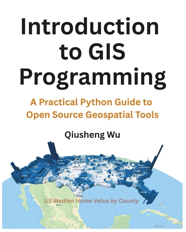
Introduction to GIS Programming: A Practical Python Guide to Open Source Geospatial Tools
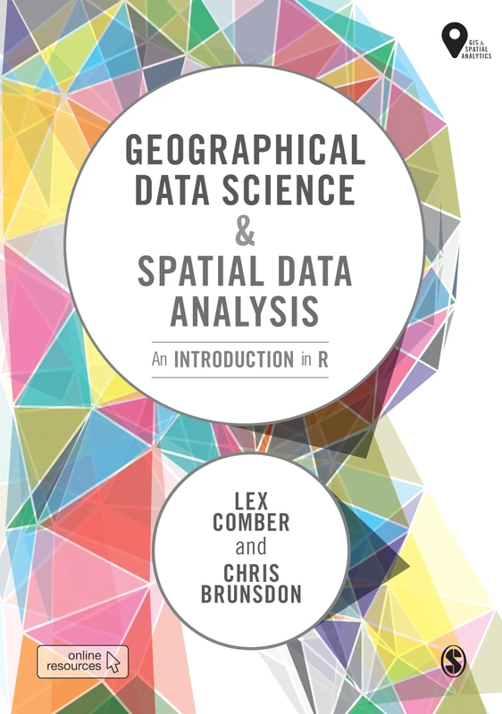
Geographical Data Science and Spatial Data Analysis: An Introduction in R (Spatial Analytics and GIS)
Sage Publishing
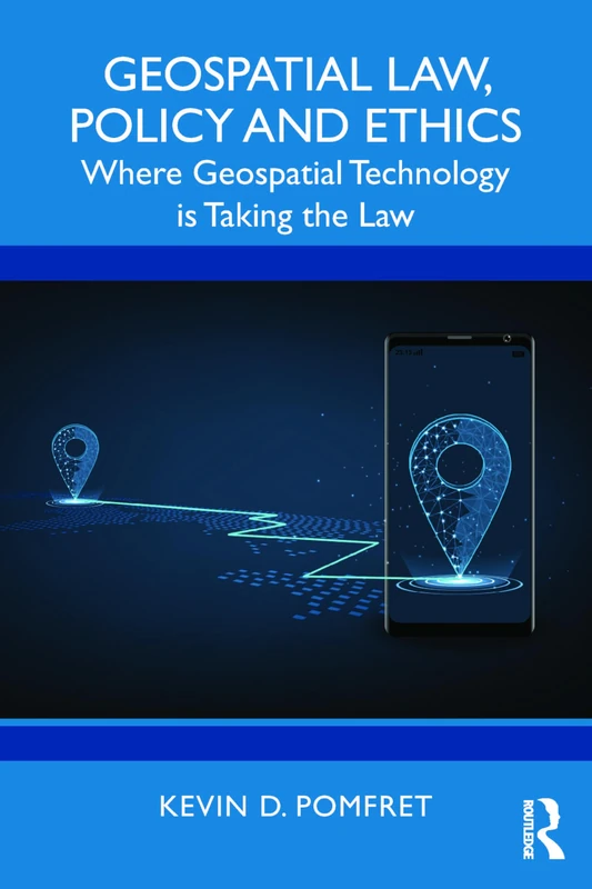
Geospatial Law, Policy and Ethics: Where Geospatial Technology is Taking the Law
Routledge
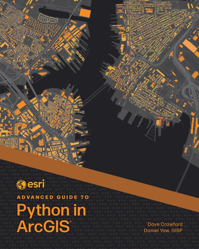
Esri Advanced Guide to Python in ArcGIS (Esri Advanced Guide to ArcGIS)
Esri Press
Geospatial Data Science Techniques and Applications
CRC Press
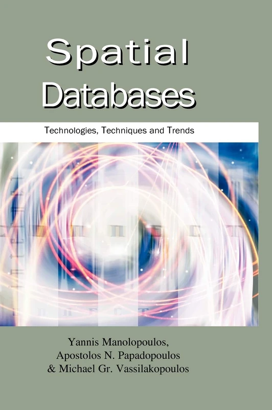
Spatial Databases: Technologies, Techniques and Trends
IGI Global
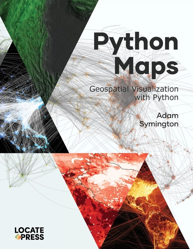
Python Maps: Geospatial Visualization with Python
Locate Press
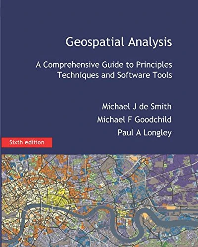
Geospatial Analysis: A Comprehensive Guide
Spatial Data Analysis in the Social and Environmental Sciences
Cambridge University Press
Learning Geospatial Analysis with Python: Understand GIS fundamentals and perform remote sensing data analysis using Python 3.7
Packt Publishing
QGIS Python Programming Cookbook - Second Edition: Automating geospatial development
Packt Publishing
Spatial Business: Competing and Leading with Location Analytics
Esri Press
The Routledge Companion to Spatial History
Routledge