We can't find the internet
Attempting to reconnect
Something went wrong
Hang in there while we get back on track
£44.49
CRC Press 3D Imaging of the Environment: Mapping and Monitoring
Price data last checked 18 day(s) ago - will refresh soon
We'll watch every seller, every day. One email when your price arrives.
New to our records — first sighting 23 days ago. We'll learn its rhythm.
23 days of data · current price £44
NEW HERE?
Amazon shows you one price. We show you all of them.
Tosheroon watches Amazon prices so you don't have to. Every product on Amazon has a price history — we make it visible. Set the price you'd actually pay, and we'll email you the second it gets there. No app, no account, one email.
WHAT'S ON THIS PAGE
when this has been cheap or pricey
where the price is heading next
all-time high & low, recent range
name your number, we'll email you
Price History & Forecast
Grey patches = out of stock. Cheaper = lower on the chart. Hover for exact prices.
Last 6 days · 6 data points (no recent data)
Price Distribution
Price distribution over 6 days • 1 price levels
Price Analysis
Most common price: £44 (6 days, 100.0%)
Price range: £44 - £44
Price levels: 1 different prices over 6 days
Description
Product Specifications
- Brand
- CRC Press
- Format
- paperback
- ASIN
- 1032108959
- Domain
- Amazon UK
- Release Date
- 28 September 2025
- Listed Since
- 08 August 2025
Barcode
No barcode data available
Similar Products You Might Like
3D Imaging of the Environment: Mapping and Monitoring
CRC Press
Advances in Mapping from Remote Sensor Imagery: Techniques and Applications
CRC Press
GIS for Coastal Zone Management (Research Monographs in GIS)
CRC Press

Topographic Laser Ranging and Scanning: Principles and Processing, Second Edition
CRC Press
Topographic Laser Ranging and Scanning: Principles and Processing, Second Edition
CRC Press
Geo-information: Technologies, Applications and the Environment: 5 (Geotechnologies and the Environment, 5)
Springer
Coastal and Marine Geospatial Technologies: 13 (Coastal Systems and Continental Margins, 13)
Springer
Remote Sensing of Coastal Environments (Remote Sensing Applications Series)
CRC Press
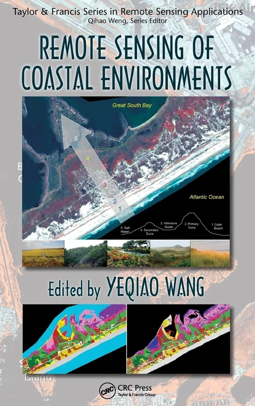
Remote Sensing of Coastal Environments (Remote Sensing Applications Series)
CRC Press
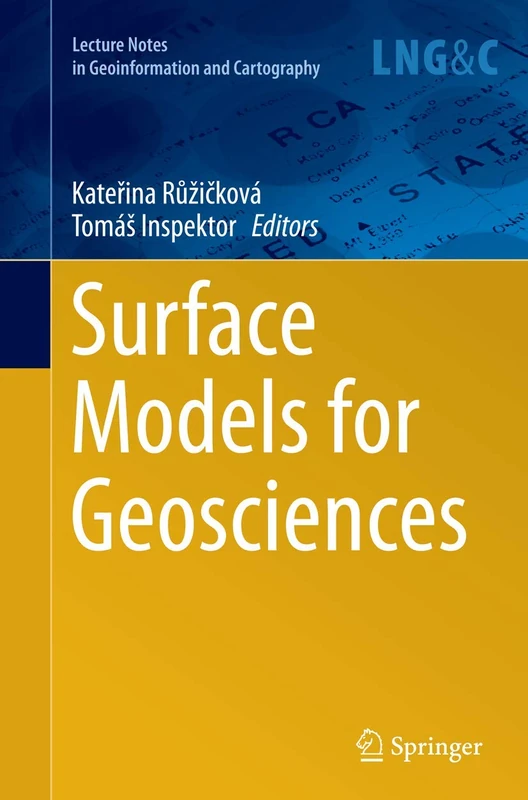
Surface Models for Geosciences (Lecture Notes in Geoinformation and Cartography)
Springer
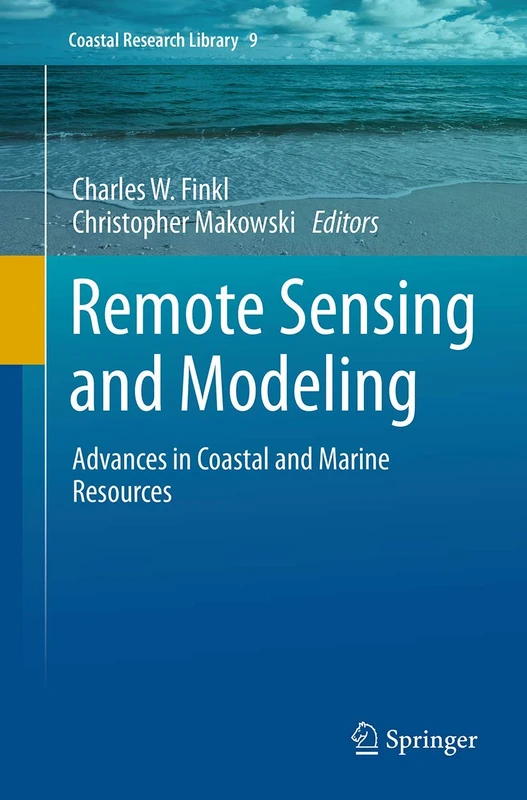
Springer Remote Sensing and Modeling - Coastal Research Library 9
Springer
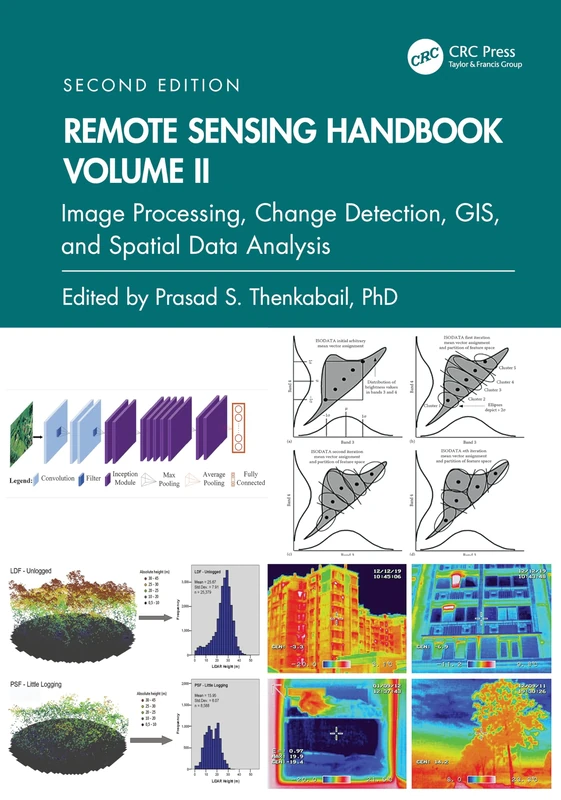
Remote Sensing Handbook, Volume II: Image Processing, Change Detection, GIS, and Spatial Data Analysis: 2
CRC Press
Elsevier Remote Sensing of Geomorphology - Volume 23
Elsevier
Coastal Environments:: Problems and Perspectives
Remote Sensed Data and Processing Methodologies for 3D Virtual Reconstruction and Visualization of Complex Architectures
MDPI AG
Remote Sensing of Ocean and Coastal Environments (Earth Observation)
Elsevier

Urban High-Resolution Remote Sensing: Algorithms and Modeling
CRC Press
Earth Observations and Geospatial Science in Service of Sustainable Development Goals: 12th International Conference of the African Association of ... and the Environment (Southern Space Studies)
Springer
Earth Observations and Geospatial Science in Service of Sustainable Development Goals: 12th International Conference of the African Association of ... and the Environment (Southern Space Studies)
Springer

Remote Sensing and Geospatial Technologies for Coastal Ecosystem Assessment and Management (Lecture Notes in Geoinformation and Cartography)
Springer
Remote Sensing and Geospatial Technologies for Coastal Ecosystem Assessment and Management (Lecture Notes in Geoinformation and Cartography)
Springer
Remote Sensing for Hazard Monitoring and Disaster Assessment: Marine and Coastal Applications in the Mediterranean Region: 2 (Classics of Soviet Mathematics,)
CRC Press
Optical Remote Sensing of Land Surface: Techniques and Methods
Elsevier
Remote Sensing Techniques and GIS Applications in Earth and Environmental Studies
Delve Publishing