We can't find the internet
Attempting to reconnect
Something went wrong
Hang in there while we get back on track
£93.91
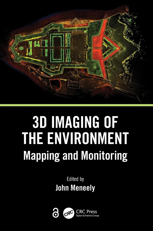
CRC Press 3D Imaging of the Environment: Mapping and Monitoring
Price data last checked 38 day(s) ago - refreshing...
We'll watch every seller, every day. One email when your price arrives.
It has never been this cheap. We have no record of a lower price.
£94 today · cheaper than every other day in the last 3 months
NEW HERE?
Amazon shows you one price. We show you all of them.
Tosheroon watches Amazon prices so you don't have to. Every product on Amazon has a price history — we make it visible. Set the price you'd actually pay, and we'll email you the second it gets there. No app, no account, one email.
WHAT'S ON THIS PAGE
when this has been cheap or pricey
where the price is heading next
all-time high & low, recent range
name your number, we'll email you
Price History & Forecast
Grey patches = out of stock. Cheaper = lower on the chart. Hover for exact prices.
Last 53 days · 53 data points (no recent data)
Price Distribution
Price distribution over 53 days • 1 price levels
Price Analysis
Most common price: £94 (53 days, 100.0%)
Price range: £94 - £94
Price levels: 1 different prices over 53 days
Description
Product Specifications
- Brand
- CRC Press
- Format
- hardcover
- ASIN
- 0367337932
- Domain
- Amazon UK
- Release Date
- 01 November 2023
- Listed Since
- 28 April 2023
Barcode
No barcode data available
Similar Products You Might Like
3D Imaging of the Environment: Mapping and Monitoring
CRC Press
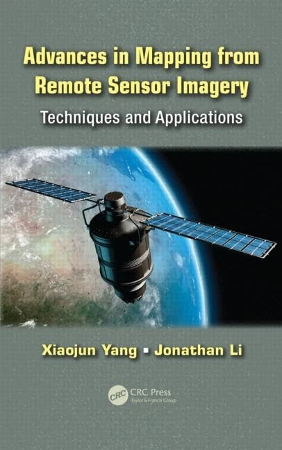
Advances in Mapping from Remote Sensor Imagery: Techniques and Applications
CRC Press
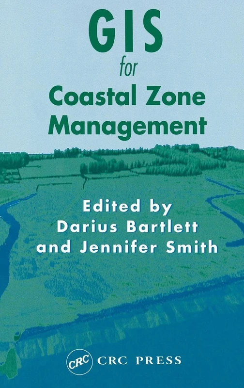
GIS for Coastal Zone Management (Research Monographs in GIS)
CRC Press
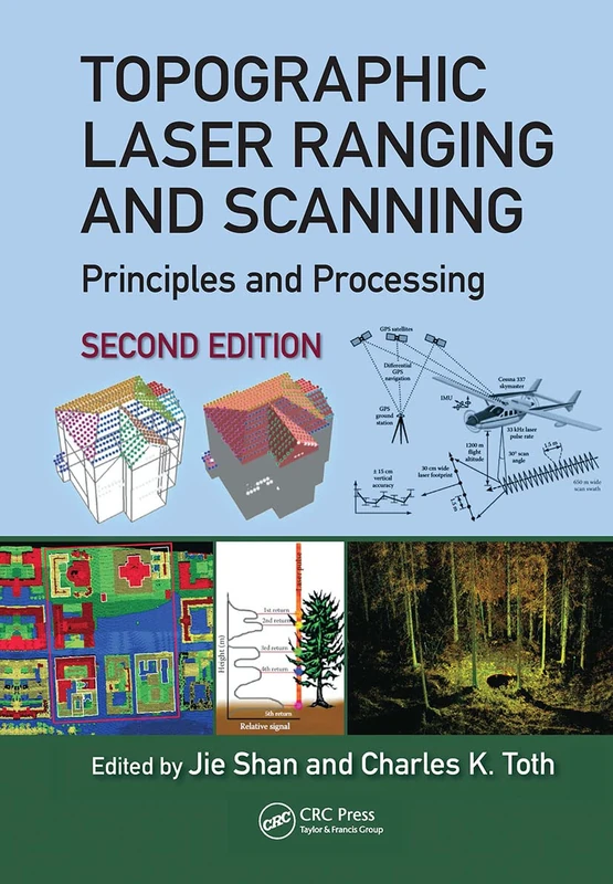
Topographic Laser Ranging and Scanning: Principles and Processing, Second Edition
CRC Press
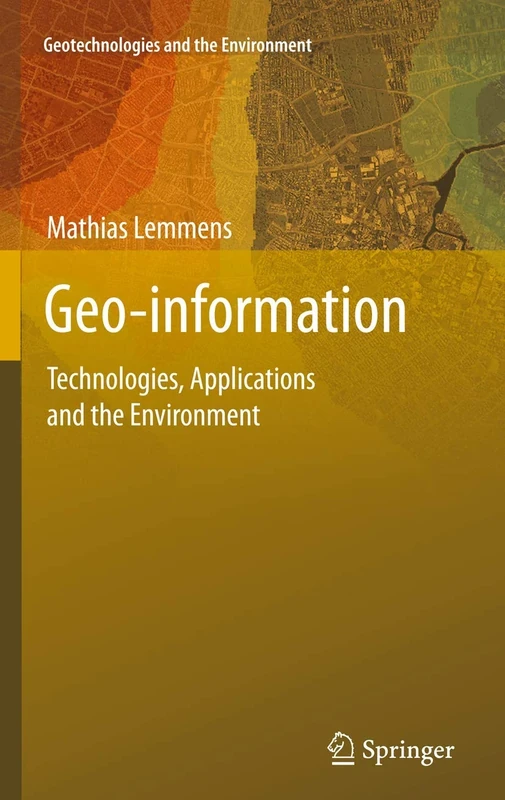
Geo-information: Technologies, Applications and the Environment: 5 (Geotechnologies and the Environment, 5)
Springer
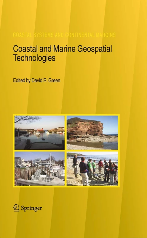
Coastal and Marine Geospatial Technologies: 13 (Coastal Systems and Continental Margins, 13)
Springer
Remote Sensing of Coastal Environments (Remote Sensing Applications Series)
CRC Press
Remote Sensing of Coastal Environments (Remote Sensing Applications Series)
CRC Press
Surface Models for Geosciences (Lecture Notes in Geoinformation and Cartography)
Springer

Remote Sensing and Geospatial Technologies for Coastal Ecosystem Assessment and Management (Lecture Notes in Geoinformation and Cartography)
Springer
Remote Sensing and Geospatial Technologies for Coastal Ecosystem Assessment and Management (Lecture Notes in Geoinformation and Cartography)
Springer

Urban High-Resolution Remote Sensing: Algorithms and Modeling
CRC Press
Remote Sensed Data and Processing Methodologies for 3D Virtual Reconstruction and Visualization of Complex Architectures
MDPI AG
LiDAR Remote Sensing and Applications (Remote Sensing Applications Series)
CRC Press
Living Shorelines: The Science and Management of Nature-Based Coastal Protection (CRC Marine Science)
CRC Press
Living Shorelines: The Science and Management of Nature-Based Coastal Protection (CRC Marine Science)
CRC Press
Coastal Environments:: Problems and Perspectives

Proceedings of UASG 2019: Unmanned Aerial System in Geomatics: 51 (Lecture Notes in Civil Engineering, 51)
Springer

Proceedings of UASG 2019: Unmanned Aerial System in Geomatics: 51 (Lecture Notes in Civil Engineering, 51)
Springer
Geoinformatics for Marine and Coastal Management
CRC Press
Advanced Remote Sensing: Terrestrial Information Extraction and Applications
Academic Press
Coastal Management: Changing coast, changing climate, changing minds
Remote Sensing of Coastal Aquatic Environments: Technologies, Techniques and Applications: 7 (Remote Sensing and Digital Image Processing, 7)
Springer