We can't find the internet
Attempting to reconnect
Something went wrong
Hang in there while we get back on track
£38.51
University of Chicago Press Charting Louisiana: Five Hundred Years of Maps
Price data last checked 21 day(s) ago - will refresh soon
We'll watch every seller, every day. One email when your price arrives.
About as cheap as it gets. The only time it was cheaper was 1 month ago.
£39 today · all-time low £38 (Jun 2026) · usually £38
NEW HERE?
Amazon shows you one price. We show you all of them.
Tosheroon watches Amazon prices so you don't have to. Every product on Amazon has a price history — we make it visible. Set the price you'd actually pay, and we'll email you the second it gets there. No app, no account, one email.
WHAT'S ON THIS PAGE
when this has been cheap or pricey
where the price is heading next
all-time high & low, recent range
name your number, we'll email you
Price History & Forecast
Grey patches = out of stock. Cheaper = lower on the chart. Hover for exact prices.
Last 70 days · 70 data points (no recent data)
Price Distribution
Price distribution over 70 days • 2 price levels
Price Analysis
Most common price: £53 (39 days, 55.7%)
Price range: £38 - £53
Price levels: 2 different prices over 70 days
Description
Product Specifications
- Format
- hardcover
- ASIN
- 0917860470
- Domain
- Amazon UK
- Release Date
- 16 April 2014
- Listed Since
- 22 January 2007
Barcode
No barcode data available
Similar Products You Might Like

A Unique Slant of Light: The Bicentennial History of Art in Louisiana
University Press of Mississippi
Language in Louisiana: Community and Culture (America's Third Coast Series)
University Press of Mississippi
Joan Blaeu: Atlas Maior of 1665
Taschen
Atlantic Studies: Prospects and Challenges
LSU Press
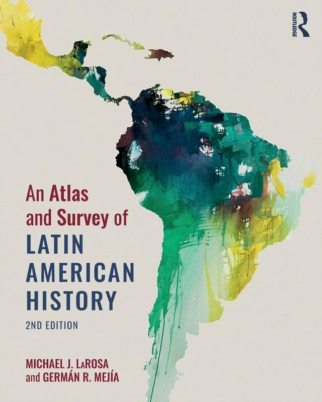
An Atlas and Survey of Latin American History
Routledge

Cosmographie universelle: selon les navigateurs tant anciens que modernes
Taschen
Price unavailable
Evidence of the Old World
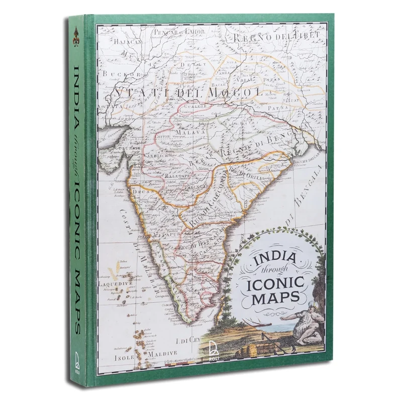
India Through Iconic Maps
Acc Art Books

Literary Mapping in the Digital Age (Digital Research in the Arts and Humanities)
Routledge
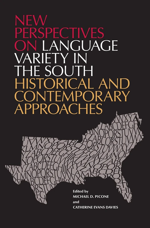
New Perspectives on Language Variety in the South: Historical and Contemporary Approaches
University Alabama Press

New Orleans: The Making of an Urban Landscape
University of Virginia Press

Die Europäische Union der Regionen: Subpolity und Politiken der dritten Ebene: 3 (Grundlagen für Europa, 3)
VS Verlag für Sozialwissenschaften
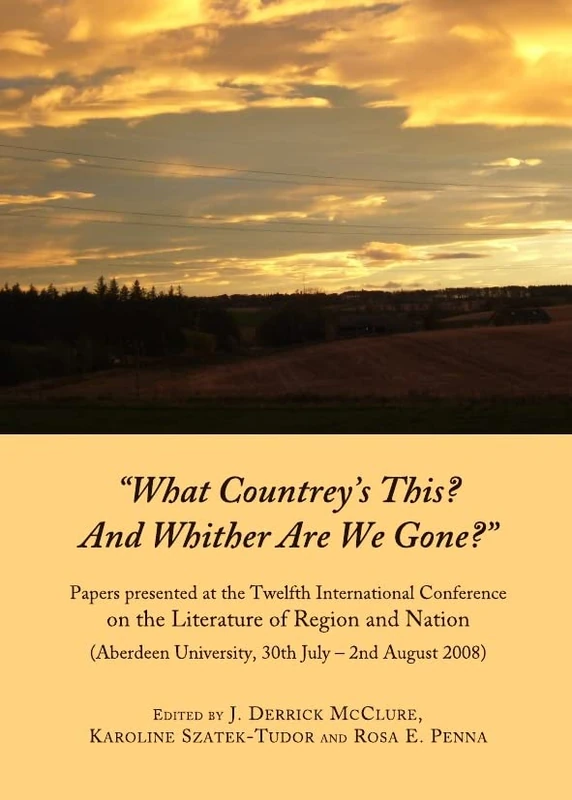
"What Countrey’s This? And Whither Are We Gone?": Papers presented at the Twelfth International Conference on the Literature of Region and Nation (Aberdeen University, 30th July – 2nd August 2008)
Cambridge Scholars Publishing
Lines Drawn across the Globe: Reading Richard Hakluyt’s “Principal Navigations” (McGill-Queen's Studies in the History of Ideas)
McGill-Queen's University Press
A History of Spaces: Cartographic Reason, Mapping and the Geo-Coded World (Frontiers of Human Geography)
Routledge

When France Was King of Cartography: The Patronage and Production of Maps in Early Modern France (Toposophia: Sustainability, Dwelling, Design) (Toposophia: Thinking Place/Making Space)
Lexington Books

A History of Southeast Asia: Critical Crossroads (Blackwell History of the World)
Wiley-Blackwell
The Routledge Atlas of Russian History (Routledge Historical Atlases)
Routledge
Springer - Choosing a Map Projection (Lecture Notes) Book
Springer
French on Shifting Ground: Cultural and Coastal Erosion in South Louisiana (America's Third Coast Series)
University Press of Mississippi

Atlas d'histoire
DE BOECK