We can't find the internet
Attempting to reconnect
Something went wrong
Hang in there while we get back on track
£100.00
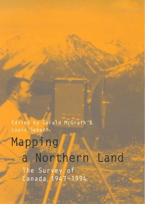
McGill-Queen's University Press Mapping a Northern Land: The Survey of Canada, 1947-1994
Price data last checked 67 day(s) ago - refreshing...
We'll watch every seller, every day. One email when your price arrives.
It has never been this cheap. We have no record of a lower price.
£100 today · cheaper than every other day in the last 3 months
NEW HERE?
Amazon shows you one price. We show you all of them.
Tosheroon watches Amazon prices so you don't have to. Every product on Amazon has a price history — we make it visible. Set the price you'd actually pay, and we'll email you the second it gets there. No app, no account, one email.
WHAT'S ON THIS PAGE
when this has been cheap or pricey
where the price is heading next
all-time high & low, recent range
name your number, we'll email you
Price History & Forecast
Grey patches = out of stock. Cheaper = lower on the chart. Hover for exact prices.
Last 24 days · 24 data points (no recent data)
Price Distribution
Price distribution over 24 days • 1 price levels
Price Analysis
Most common price: £100 (24 days, 100.0%)
Price range: £100 - £100
Price levels: 1 different prices over 24 days
Description
Key Features
Used Book in Good Condition
Product Specifications
- Format
- hardcover
- ASIN
- 0773516891
- Domain
- Amazon UK
- Release Date
- 26 February 1999
- Listed Since
- 15 February 2007
Barcode
No barcode data available
Similar Products You Might Like
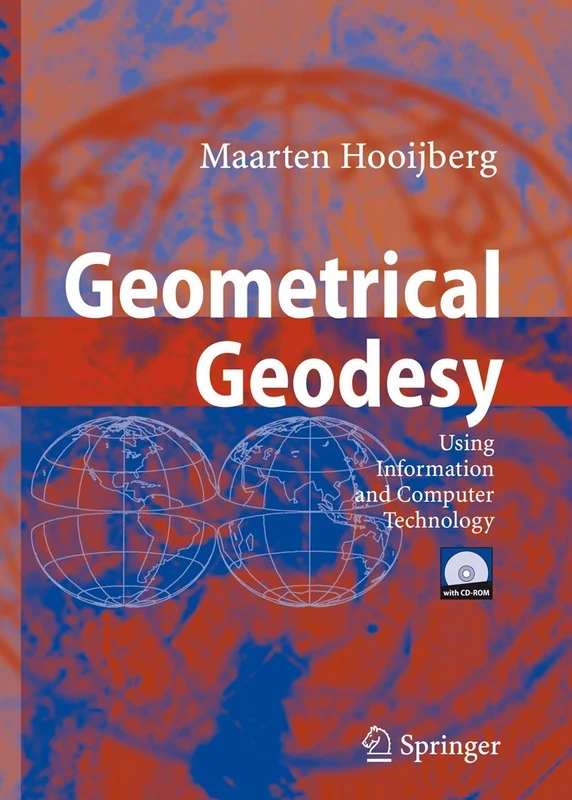
Geometrical Geodesy: Using Information and Computer Technology
Springer
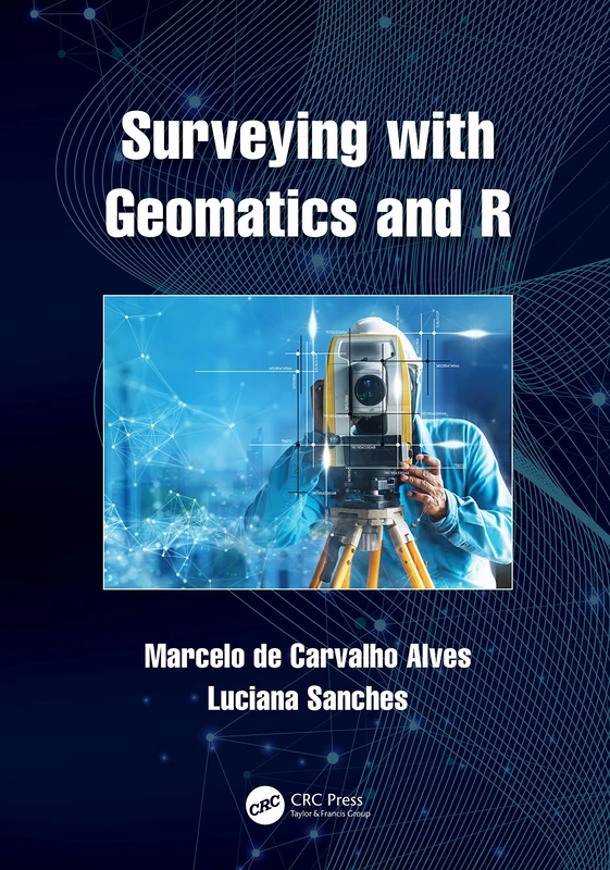
Surveying with Geomatics and R
CRC Press
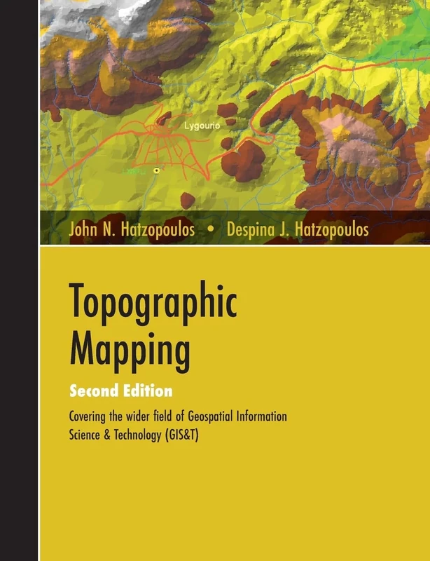
Topographic Mapping: Covering the Wider Field of Geospatial Information Science & Technology (GIS&T) SECOND EDITION
Universal Publishers
Basics of Geomatics
Springer

Cartography in Central and Eastern Europe: Selected Papers of the 1st ICA Symposium on Cartography for Central and Eastern Europe (Lecture Notes in Geoinformation and Cartography)
Springer
The Routledge Handbook of Mapping and Cartography
Routledge
History of Cartography: International Symposium of the ICA Commission, 2010 (Lecture Notes in Geoinformation and Cartography)
Springer
Basic Surveying
Routledge
Advances in Mapping from Remote Sensor Imagery: Techniques and Applications
CRC Press
World Mapping Today
De Gruyter Saur
Cartography in Central and Eastern Europe: Selected Papers of the 1st ICA Symposium on Cartography for Central and Eastern Europe (Lecture Notes in Geoinformation and Cartography)
Springer
Springer - Choosing a Map Projection (Lecture Notes) Book
Springer
Mapping Different Geographies (Lecture Notes in Geoinformation and Cartography)
Springer
Remapping Modern Germany after National Socialism, 1945-1961 (Syracuse Studies in Geography)
Wiley
Assessing the Accuracy of Remotely Sensed Data: Principles and Practices, Third Edition
CRC Press

Basic Principles of Topography (Springer Geography)
Springer
Basic Principles of Topography (Springer Geography)
Springer
Advances in 3D Geoinformation (Lecture Notes in Geoinformation and Cartography)
Springer
A Research Guide to Cartographic Resources: Print and Electronic Sources
Rowman & Littlefield Publishers
Advances in Mapping from Remote Sensor Imagery: Techniques and Applications
CRC Press
Maps and Related Cartographic Materials: Cataloging, Classification, and Bibliographic Control
Routledge
Elsevier Generalisation of Geographic Information Book
Elsevier
Digital Terrain Modeling: Acquisition, Manipulation, and Applications (Artech House Remote Sensing Library)
Artech House
Monitoring Land Supply with Geographic Information Systems: Theory, Practice, and Parcel-Based Approaches
Wiley