We can't find the internet
Attempting to reconnect
Something went wrong
Hang in there while we get back on track
£195.29
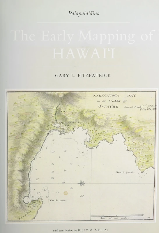
Routledge The Early Mapping Of Hawaii (Palapala-Oaina)
Price data last checked 46 day(s) ago - refreshing...
We'll watch every seller, every day. One email when your price arrives.
It has never been this cheap. We have no record of a lower price.
£195 today · cheaper than every other day in the last 3 months
NEW HERE?
Amazon shows you one price. We show you all of them.
Tosheroon watches Amazon prices so you don't have to. Every product on Amazon has a price history — we make it visible. Set the price you'd actually pay, and we'll email you the second it gets there. No app, no account, one email.
WHAT'S ON THIS PAGE
when this has been cheap or pricey
where the price is heading next
all-time high & low, recent range
name your number, we'll email you
Price History & Forecast
Grey patches = out of stock. Cheaper = lower on the chart. Hover for exact prices.
Last 45 days · 45 data points (no recent data)
Price Distribution
Price distribution over 45 days • 3 price levels
Price Analysis
Most common price: £328 (20 days, 44.4%)
Price range: £195 - £329
Price levels: 3 different prices over 45 days
Description
Product Specifications
- Brand
- Routledge
- Format
- hardcover
- ASIN
- 0710302401
- Domain
- Amazon UK
- Release Date
- 04 January 1987
- Listed Since
- 16 December 2006
Barcode
No barcode data available
Similar Products You Might Like

The Barsden Memoirs (1799-1816): An Australian Transnational Adolescence (Routledge Studies in Modern History)
Routledge
Uncovering Indigenous Models of Leadership: An Ethnographic Case Study of Samoa's Talavou Clan
Lexington Books

The Boy Travellers in the Far East (5-vol. set) (ES)
Routledge
A History of the Pacific Islands: 17 (Bloomsbury Essential Histories)
Red Globe Press

The European Invasion of North America: Colonial Conflict Along the Hudson-Champlain Corridor, 1609–1760
Praeger
India Through Iconic Maps
Acc Art Books

On the Backs of Others: Rethinking the History of British Geographical Exploration
University of Nebraska Press

American pacificism: Oceania in the U.S. Imagination (Routledge Research in Postcolonial Literatures)
Routledge

Routledge Richard Hakluyt and Travel Writing in Early Modern Europe
Routledge
When France Was King of Cartography: The Patronage and Production of Maps in Early Modern France (Toposophia: Thinking Place/Making Space)
Lexington Books

The Future Imaginary in Indigenous North American Arts and Literatures (Routledge Research in Transnational Indigenous Perspectives)
Routledge
![HAWAII 5-0 (ORIGINAL) S7 - MOV [DVD]](/uploads/images/products/2/B00QA1I6Y0/0f53b14f-6ea0-4bc0-8db9-7ae3fa0fa9ea.webp)
HAWAII 5-0 (ORIGINAL) S7 - MOV [DVD]
PARAMOUNT PICTURES

Postcolonial Migrants and Identity Politics: Europe, Russia, Japan and the United States in Comparison: 18 (International Studies in Social History, 18)
Berghahn Books

Routledge Cross-Cultural Encounters in Modern World History
Routledge

Latin American Literature: Symptoms, Risks and Strategies of Poststructuralist Criticism (Nottingham Critical Theory)
Routledge
Routledge Indigeneity, Landscape and History: Adivasi India
Routledge

Bloomsbury - The Golden Road: Ancient India History Book
Bloomsbury

Indigenous Religion(s): Local Grounds, Global Networks
Routledge

Media and Public Policy (Praeger Political Communication)
Praeger

Latin American Political Yearbook: 2001: 4
Routledge
Routledge Cosmopolitan Modernity in Early 20th-Century India
Routledge

From Sea-Bathing to Beach-Going: A Social History of the Beach in Rio De Janeiro, Brazil (Diálogos Series)
University of New Mexico Press

Encyclopedia of Historic Places
Facts on File

The Myth of the Natural Laboratory: Science, Empire, and Their Derangements on Pitcairn and Norfolk Islands
University of Hawaii Press