We can't find the internet
Attempting to reconnect
Something went wrong!
Hang in there while we get back on track
£150.00
Elsevier Photogrammetry Principles and Applications: LiDAR 3D Point Cloud Intelligent Processing (Earth Observation)
Price data last checked 37 day(s) ago - refreshing...
We'll watch every seller, every day. One email when your price arrives.
It has never been this cheap. We have no record of a lower price.
£150 today · cheaper than every other day in the last 2 months
NEW HERE?
Amazon shows you one price. We show you all of them.
Tosheroon watches Amazon prices so you don't have to. Every product on Amazon has a price history — we make it visible. Set the price you'd actually pay, and we'll email you the second it gets there. No app, no account, one email.
WHAT'S ON THIS PAGE
when this has been cheap or pricey
where the price is heading next
all-time high & low, recent range
name your number, we'll email you
Price History & Forecast
Grey patches = out of stock. Cheaper = lower on the chart. Hover for exact prices.
Last 22 days • 22 data points (No recent data available)
Price Distribution
Price distribution over 22 days • 1 price levels
Price Analysis
Most common price: £150 (22 days, 100.0%)
Price range: £150 - £150
Price levels: 1 different prices over 22 days
Description
Product Specifications
- Brand
- Elsevier
- Format
- paperback
- ASIN
- 0443516979
- Domain
- Amazon UK
- Release Date
- 05 August 2026
- Listed Since
- 11 February 2026
Barcode
No barcode data available
Similar Products You Might Like
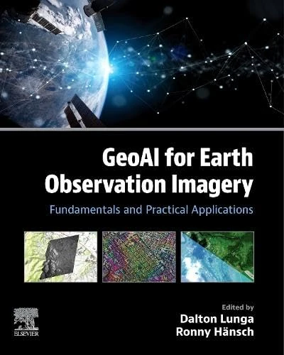
GeoAI for Earth Observation Imagery: Fundamentals and Practical Applications
Elsevier
Fundamentals and Advances in Remote Sensing: From Principles to AI Applications
Elsevier
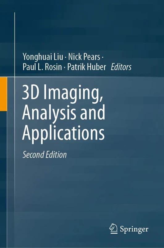
3D Imaging, Analysis and Applications
Springer

RGB-D Image Analysis and Processing (Advances in Computer Vision and Pattern Recognition)
Springer
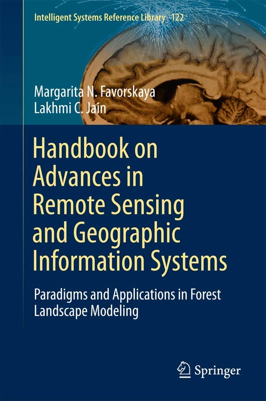
Handbook on Advances in Remote Sensing and Geographic Information Systems: Paradigms and Applications in Forest Landscape Modeling: 122 (Intelligent Systems Reference Library, 122)
Springer
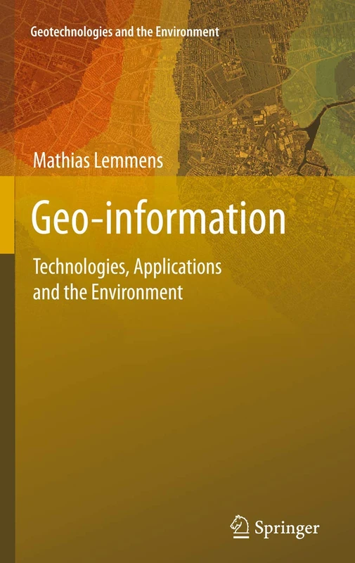
Geo-information: Technologies, Applications and the Environment: 5 (Geotechnologies and the Environment, 5)
Springer

Intelligent Environments: Methods, Algorithms and Applications (Advanced Information and Knowledge Processing)
Springer

Theory and Technology of Laser Imaging Based Target Detection
Springer
New Approaches in Intelligent Image Analysis: Techniques, Methodologies and Applications: 108 (Intelligent Systems Reference Library, 108)
Springer

Innovations in Remote Sensing and Photogrammetry (Lecture Notes in Geoinformation and Cartography)
Springer

Artificial Intelligence Applications for Smart Societies: Recent Advances (Studies in Distributed Intelligence)
Springer
Models and Methods for Synthetic Aperture Radar Remote Sensing: From Physics to Applications (Earth Observation)
Elsevier
Big Data Mining and Machine Learning in Geoscience
Elsevier
Artificial Intelligence and Data Science in Electric Vehicle Technology and Infrastructure
Elsevier
Artificial Intelligence Applications for High-Performance Built Environments (Woodhead Publishing Series in Civil and Structural Engineering)
Woodhead Publishing
Harmonizing Earth Observation Data for Enhanced Spatial Analysis
Elsevier

Handbook of Geospatial Approaches to Sustainable Cities (Imaging Science)
CRC Press
AI and Computational Intelligence for Environmental Sustainability
Elsevier
Progress and New Trends in 3D Geoinformation Sciences (Lecture Notes in Geoinformation and Cartography)
Springer
Advances in 3D Geoinformation Systems (Lecture Notes in Geoinformation and Cartography)
Springer
Laser Processing: Engineering Fundamentals and Applications
Elsevier
Deep Cognitive Modelling in Remote Sensing Image Processing

Computational Intelligence for Remote Sensing: 133 (Studies in Computational Intelligence, 133)
Springer
The Next Frontiers of Quantum Generative Intelligence for Smarter Eco-Cities: Transforming Environmental Sustainability Through Augmented Deep Generative and Foundation Models
Elsevier