We can't find the internet
Attempting to reconnect
Something went wrong
Hang in there while we get back on track
£66.08
MACMILLAN 2001 Census Key Statistics for Postcode Sectors in England and Wales
Price data last checked 73 day(s) ago - refreshing...
We'll watch every seller, every day. One email when your price arrives.
It has never been this cheap. We have no record of a lower price.
£66 today · cheaper than every other day in the last 3 months
NEW HERE?
Amazon shows you one price. We show you all of them.
Tosheroon watches Amazon prices so you don't have to. Every product on Amazon has a price history — we make it visible. Set the price you'd actually pay, and we'll email you the second it gets there. No app, no account, one email.
WHAT'S ON THIS PAGE
when this has been cheap or pricey
where the price is heading next
all-time high & low, recent range
name your number, we'll email you
Price History & Forecast
Grey patches = out of stock. Cheaper = lower on the chart. Hover for exact prices.
Last 18 days · 18 data points (no recent data)
Price Distribution
Price distribution over 18 days • 1 price levels
Price Analysis
Most common price: £66 (18 days, 100.0%)
Price range: £66 - £66
Price levels: 1 different prices over 18 days
Description
Product Specifications
- Brand
- MACMILLAN
- Format
- paperback
- ASIN
- 0116217499
- Domain
- Amazon UK
- Release Date
- 30 March 2004
- Listed Since
- 27 December 2006
Barcode
No barcode data available
Similar Products You Might Like
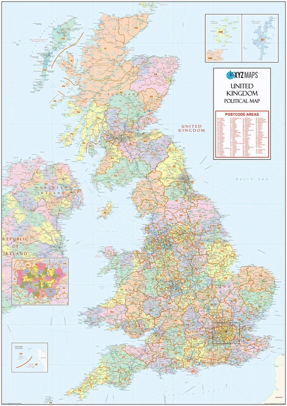
XYZ Maps UK Postcode Areas Wall Map – 100 cm x 141 cm – England, Scotland & Wales – Political Postcode Regions – 120gsm Art Paper – Ideal for Office, Classroom & Planning Use
XYZ Maps
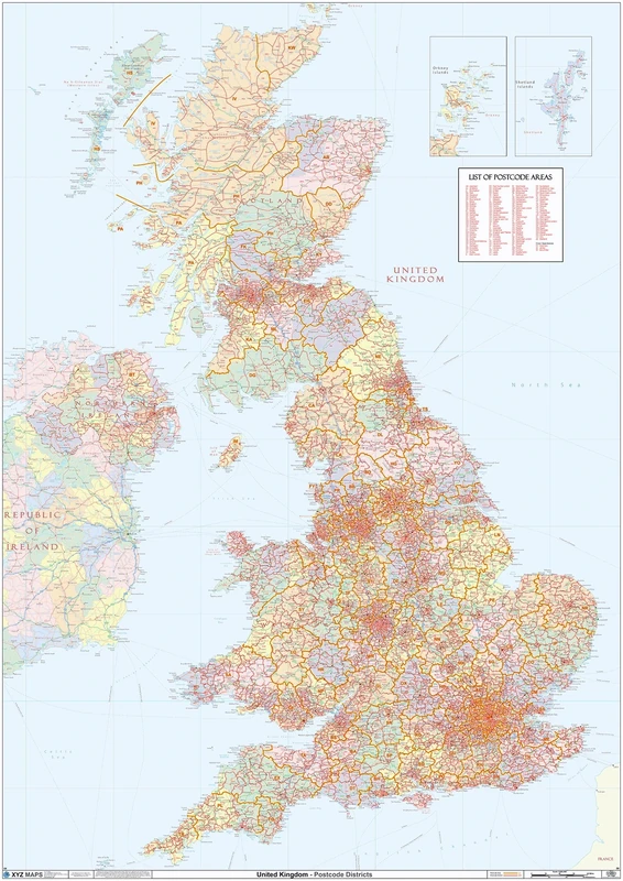
UK Political - Postcode District Wall Map (6'x4')-Paper
XYZ Maps
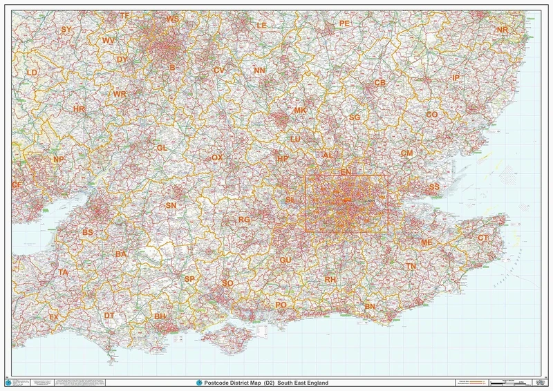
South East England - Postcode District Wall Map-Plastic Coated 2A (119cm x 168cm)
XYZ Maps
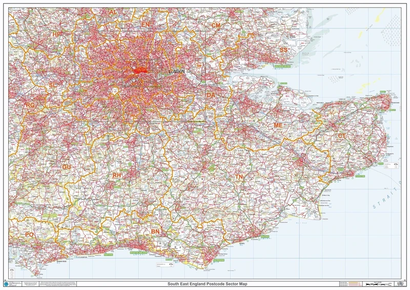
Postcode Sector Map - (S4) - South East England - Wall Map-Plastic Coated 2A (119cm x 168cm)
XYZ Maps
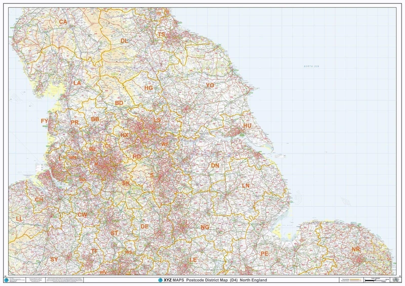
North England - Postcode District Wall Map-Plastic Coated 2A (119cm x 168cm)
XYZ Maps
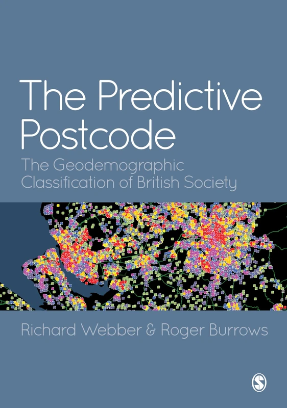
The Predictive Postcode: The Geodemographic Classification of British Society
Sage Publications
Census 2001: National Report for England and Wales Part2
MACMILLAN
Global Sourcebook of Address Data Management: A Guide to Address Formats and Data in 194 Countries
Routledge

Wiley - The Census Data System - UK Census Handbook
Wiley
Census 2001: National Report for England and Wales
MACMILLAN
The Early English Censuses: 46 (Records of Social and Economic History, New Series)
Oxford University Press
People and places 3: A 21st-Century Atlas of the UK
Policy Press
Hemel Hempstead - HP - Postcode Wall Map - 2A Plastic Coated (119cm x 168cm)
XYZ Maps

Analyzing US Census Data: Methods, Maps, and Models in R (Chapman & Hall/CRC The R Series)
CRC Press

Sociology Census Update (paperback version)
PEARSON EDUCATION
Analyzing US Census Data: Methods, Maps, and Models in R (Chapman & Hall/CRC The R Series)
CRC Press

Sociology, Census Update
PEARSON EDUCATION

State and Metropolitan Area Data Book 2017, Second Edition
Bernan Press
Price unavailable
SMART PARCEL BOX Extra Large Parcel Box Outdoor, Weatherproof Black Delivery Box Slanted Top With Secure Front Access, Durable Galvanised Steel, Lockable For Post, Multiple Letters & Package Drop
Smart Parcel Box
County and City Extra 2023: Annual Metro, City, and County Data Book, 31st Edition (County and City Extra Series)
Bernan Press

Ethnicity Counts
Routledge

Millennials in America 2017 (County and City Extra Series)
Bernan Press
SMART PARCEL BOX Large Parcel Box Outdoor, Weatherproof Green Delivery Box Curved Top, Secure Front Access, Durable Galvanised Steel, Lockable For Post, Multiple Letters & Package Drop, Free Standing
Smart Parcel Box

Sociology: A Down to Earth Approach, Census Update
PEARSON EDUCATION
Price unavailable