We can't find the internet
Attempting to reconnect
Something went wrong
Hang in there while we get back on track
£116.43
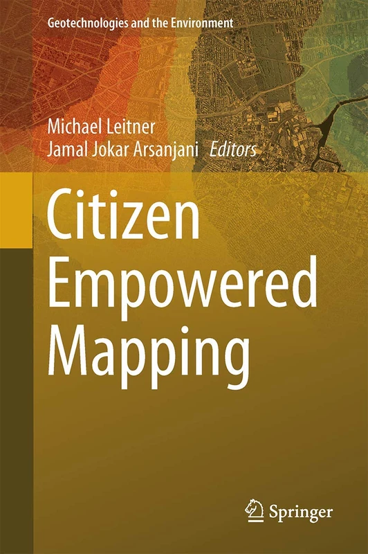
Springer Citizen Empowered Mapping: 18 Geotechnologies Book
Price data last checked 14 day(s) ago - will refresh soon
We'll watch every seller, every day. One email when your price arrives.
It has never been this cheap. We have no record of a lower price.
£116 today · cheaper than every other day in the last 3 months
NEW HERE?
Amazon shows you one price. We show you all of them.
Tosheroon watches Amazon prices so you don't have to. Every product on Amazon has a price history — we make it visible. Set the price you'd actually pay, and we'll email you the second it gets there. No app, no account, one email.
WHAT'S ON THIS PAGE
when this has been cheap or pricey
where the price is heading next
all-time high & low, recent range
name your number, we'll email you
Price History & Forecast
Grey patches = out of stock. Cheaper = lower on the chart. Hover for exact prices.
Last 77 days · 77 data points (no recent data)
Price Distribution
Price distribution over 77 days • 1 price levels
Price Analysis
Most common price: £116 (77 days, 100.0%)
Price range: £116 - £116
Price levels: 1 different prices over 77 days
Description
Key Features
Covers data acquisition and modeling techniques used in modern environmental and urban informatics.
Provides detailed analysis regarding the quality and reliability of data collected through citizen participation.
Explores different methods for environmental monitoring and human perception of geographic data.
Includes practical case studies from Mexico, the United States, and the Czech Republic.
Part of the Geotechnologies and the Environment series, volume 18, published by Springer.
Product Specifications
- Brand
- Springer
- Format
- hardcover
- ASIN
- 3319516280
- Category
- Books > Subjects > Computing & Internet > Microsoft Windows > Microsoft > Access > Reference
- Domain
- Amazon UK
- Release Date
- 08 June 2017
- Listed Since
- 24 November 2016
Barcode
No barcode data available
Similar Products You Might Like
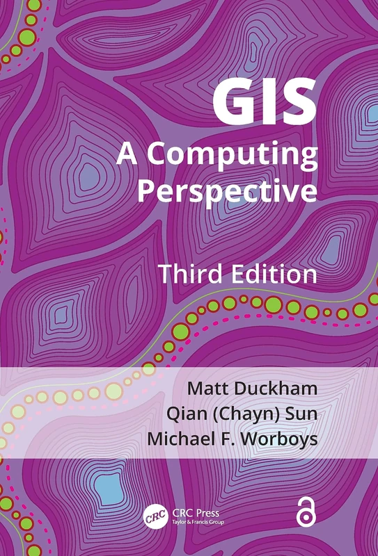
GIS: A Computing Perspective
CRC Press
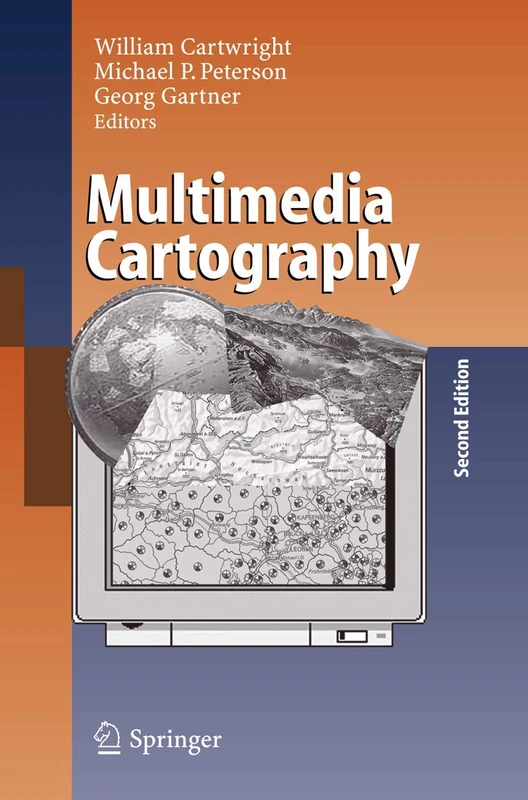
Multimedia Cartography
Springer
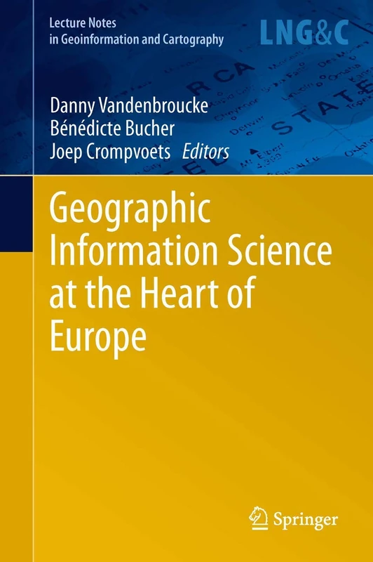
Geographic Information Science at the Heart of Europe (Lecture Notes in Geoinformation and Cartography)
Springer
Cartography in Central and Eastern Europe: Selected Papers of the 1st ICA Symposium on Cartography for Central and Eastern Europe (Lecture Notes in Geoinformation and Cartography)
Springer

Bringing Geographical Information Systems into Business
Wiley

Spatially Explicit Hyperparameter Optimization for Neural Networks
Springer
Research Design and Proposal Writing in Spatial Science: Second Edition
Springer
Mapping Different Geographies (Lecture Notes in Geoinformation and Cartography)
Springer
Geographic Information Systems for the Social Sciences: Investigating Space and Place
Sage Publications
Connecting a Digital Europe Through Location and Place (Lecture Notes in Geoinformation and Cartography)
Springer
Societal Geo-innovation: Selected papers of the 20th AGILE conference on Geographic Information Science (Lecture Notes in Geoinformation and Cartography)
Springer
The Esri Guide to GIS Analysis, Volume 1: Geographic Patterns and Relationships
Esri Press
Advances in 3D Geoinformation Systems (Lecture Notes in Geoinformation and Cartography)
Springer
Advances in Cartography and GIScience: Selections from the International Cartographic Conference 2017 (Lecture Notes in Geoinformation and Cartography)
Springer
Learning GIS Using Open Source Software: An Applied Guide for Geo-spatial Analysis
Routledge