We can't find the internet
Attempting to reconnect
Something went wrong
Hang in there while we get back on track
Out of stock
This item is currently unavailable
Gone for 101 days. Could come back at any time — we're watching for you.
Out of stock 101 days · last price £41
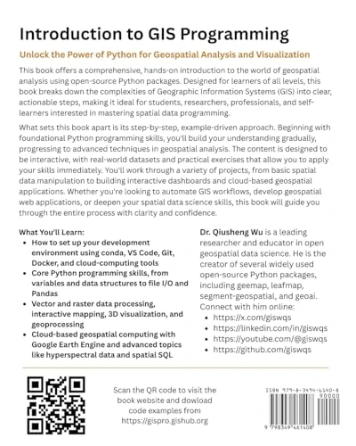
Introduction to GIS Programming: A Practical Python Guide to Open Source Geospatial Tools
One email. No newsletter. No nudges.
Price History & Forecast
Grey patches = out of stock. Cheaper = lower on the chart. Hover for exact prices.
Last 184 days · 184 data points (no recent data)
NEW HERE?
Amazon shows you one price. We show you all of them.
Tosheroon watches Amazon prices so you don't have to. Every product on Amazon has a price history — we make it visible. Set the price you'd actually pay, and we'll email you the second it gets there. No app, no account, one email.
WHAT'S ON THIS PAGE
when this has been cheap or pricey
where the price is heading next
all-time high & low, recent range
name your number, we'll email you
Price Distribution
Price distribution over 184 days • 1 price levels
Price Analysis
Most common price: £41 (184 days, 100.0%)
Price range: £41 - £41
Price levels: 1 different prices over 184 days
Description
Product Specifications
- Format
- paperback
- ASIN
- B0FGKJPW1L
- Domain
- Amazon UK
- Release Date
- 01 July 2025
- Listed Since
- 03 July 2025
Barcode
No barcode data available
Similar Products You Might Like
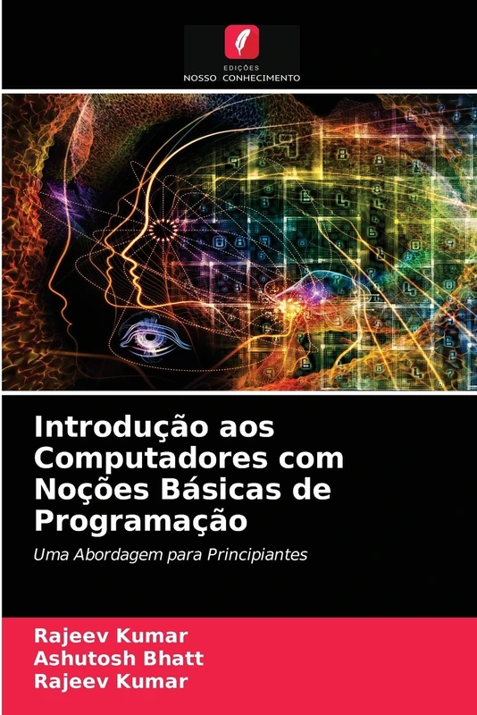
Introdução aos Computadores com Noções Básicas de Programação: Uma Abordagem para Principiantes

Thematic Mapping From Satellite Imagery: A Guidebook

An Introduction to Biomedical Instrumentation: Pergamon International Library of Science, Technology, Engineering and Social Studies

Renewable Energy Technologies: Their Applications in Developing Countries
Novell's Guide to Secure Identity Management
Price unavailable
Recent Advances in Energy Materials: Exploring the Next Generation of Materials for Electronics, Sensors, and Clean Energy Technologies

The Complete Electric Vehicle Repair Technician Handbook: Hands-on Guide for Battery, Motor, Inverter & Charging System
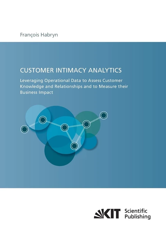
Customer Intimacy Analytics: Leveraging Operational Data to Assess Customer Knowledge and Relationships and to Measure their Business Impact
TST Win/MAC Basics/Media Res
Cengage Learning
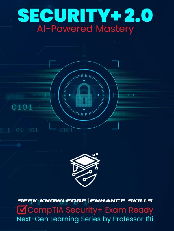
Security+ 2.0 | AI-Powered Mastery: CompTIA Security+ Exam Ready

Elementary Mechanics of Solids: The Commonwealth and International Library: Structure and Solid Body Mechanics