We can't find the internet
Attempting to reconnect
Something went wrong
Hang in there while we get back on track
£110.28
Springer Digital Mapping of Soil Landscape Parameters: Geospatial Analyses using Machine Learning and Geomatics: 72 (Studies in Big Data, 72)
Price data last checked 20 day(s) ago - will refresh soon
We'll watch every seller, every day. One email when your price arrives.
About as cheap as it gets. The only time it was cheaper was 2 months ago.
£110 today · all-time low £108 (May 2026) · usually £110
NEW HERE?
Amazon shows you one price. We show you all of them.
Tosheroon watches Amazon prices so you don't have to. Every product on Amazon has a price history — we make it visible. Set the price you'd actually pay, and we'll email you the second it gets there. No app, no account, one email.
WHAT'S ON THIS PAGE
when this has been cheap or pricey
where the price is heading next
all-time high & low, recent range
name your number, we'll email you
Price History & Forecast
Grey patches = out of stock. Cheaper = lower on the chart. Hover for exact prices.
Last 71 days · 71 data points (no recent data)
Price Distribution
Price distribution over 71 days • 3 price levels
Price Analysis
Most common price: £108 (33 days, 46.5%)
Price range: £108 - £113
Price levels: 3 different prices over 71 days
Description
Product Specifications
- Brand
- Springer
- Format
- hardcover
- ASIN
- 9811532370
- Domain
- Amazon UK
- Release Date
- 21 February 2020
- Listed Since
- 17 January 2020
Barcode
No barcode data available
Similar Products You Might Like
Springer - Remote Sensing of Soils - Soil Science Textbook
Springer
Digital Soil Mapping: Bridging Research, Environmental Application, and Operation: 2 (Progress in Soil Science, 2)
Springer
Elsevier Remote Sensing of Soil and Land Surface Processes Book
Elsevier
Remote Sensing of Soils: Mapping, Monitoring, and Measurement
Elsevier
Soils as a Key Component of the Critical Zone 2: Societal Issues (Geosciences Series Soils Set, 2)
Wiley
Environmental Soil-Landscape Modeling: Geographic Information Technologies and Pedometrics: 111 (Books in Soils, Plants, and the Environment)
CRC Press
Sustainable Management of Land Resources: An Indian Perspective
CRC Press
The Soils of Bangladesh: 1 (World Soils Book Series, 1)
Springer
Soil-Specific Farming: Precision Agriculture: 22 (Advances in Soil Science)
CRC Press

Land Quality, Agricultural Productivity, and Food Security: Biophysical Processes and Economic Choices at Local, Regional, and Global Levels
Edward Elgar Publishing
Digital Soil Mapping: An Introductory Perspective (Volume 31) (Developments in Soil Science, Volume 31)
Elsevier
Cultural Understanding of Soils: The importance of cultural diversity and of the inner world
Springer

Environmental Soil Biology (Experimental and Clinical Neuroscience)
Springer

Environmental Soil Biology (Experimental and Clinical Neuroscience)
Springer
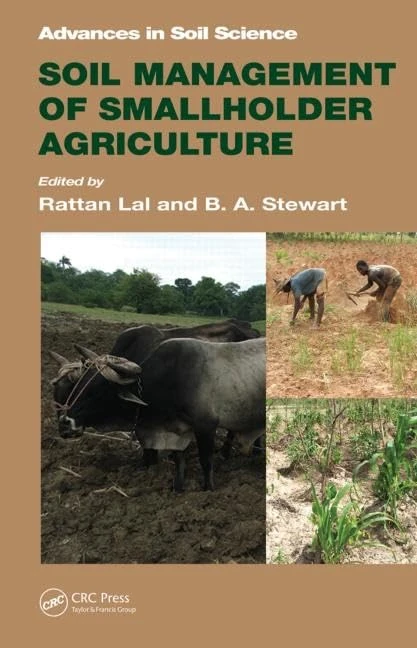
CRC Press Soil Management of Smallholder Agriculture - Book 21
CRC Press

CRC Press - Soil Management: Advances in Soil Science 4
CRC Press
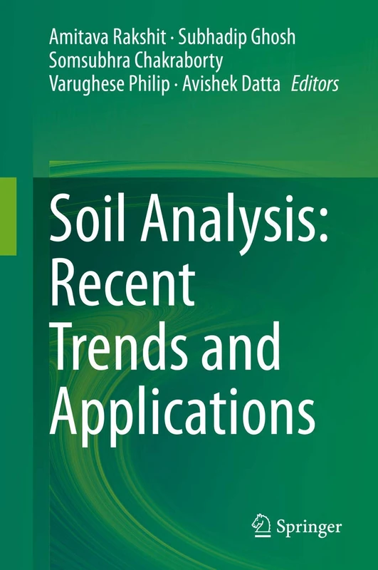
Springer - Soil Analysis: Recent Trends and Applications
Springer
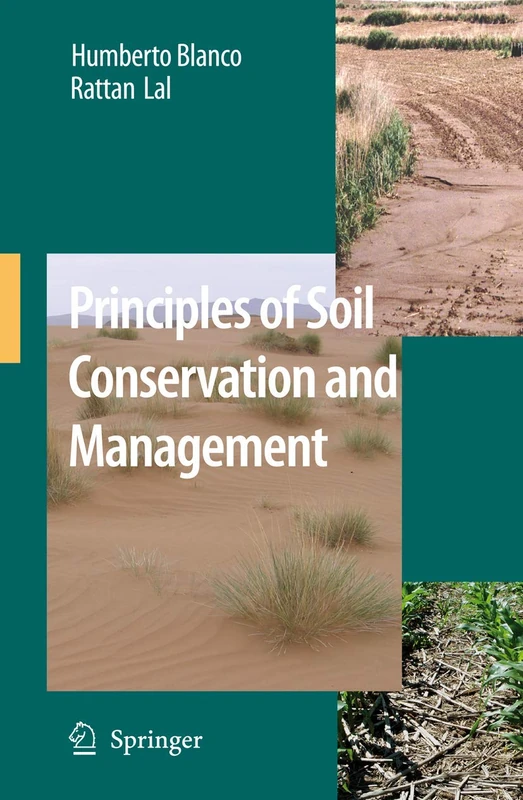
Principles of Soil Conservation and Management
Springer

Soil Management: Problems and Solutions
Routledge
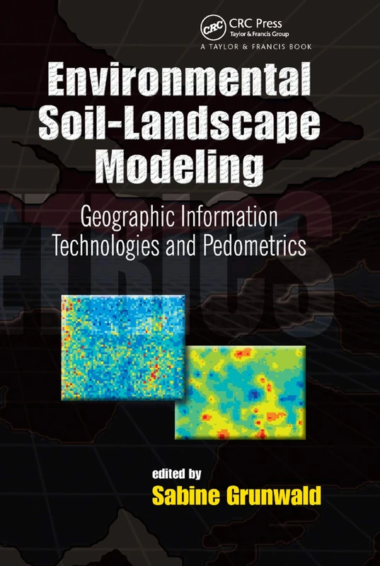
Environmental Soil-Landscape Modeling: Geographic Information Technologies and Pedometrics: 111 (Books in Soils, Plants, and the Environment)
CRC Press

Application of Soil Physics in Environmental Analyses: Measuring, Modelling and Data Integration (Progress in Soil Science)
Springer