£164.53

This is the most expensive it has ever been. Walk away.

£165 today · previous high £165 · all-time low £163

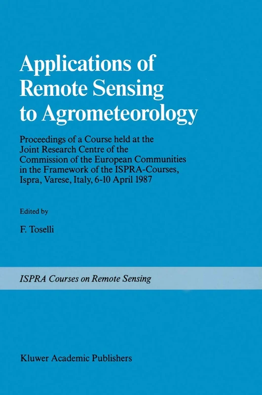
Springer Applications of Remote Sensing to Agrometeorology: Proceedings of a Course held at the Joint Research Centre of the Commission of the European ... Ispra, Varese, Italy, 6–10 April 1987

Amazon

Price History & Forecast

Grey patches = out of stock. Cheaper = lower on the chart. Hover for exact prices.

Last 7 days · 7 data points (no recent data)

Historical
Generating forecast…
£164.53 £163.36 £163.62 £163.87 £164.13 £164.38 £164.64 01 August 2026 02 August 2026 04 August 2026 05 August 2026 07 August 2026
View at Amazon ↗

Price data last checked 74 day(s) ago - refreshing...

NEW HERE?

Amazon shows you one price. We show you all of them.

Tosheroon watches Amazon prices so you don't have to. Every product on Amazon has a price history — we make it visible. Set the price you'd actually pay, and we'll email you the second it gets there. No app, no account, one email.

WHAT'S ON THIS PAGE

↑ Price chart
when this has been cheap or pricey
↑ Forecast
where the price is heading next
↓ Statistics
all-time high & low, recent range
↑ Price alert
name your number, we'll email you

Price Distribution

Price distribution over 7 days • 2 price levels

Days at Price
Current Price
6 days 1 day · current 0 2 3 5 6 £163 £165 Days at Price

Price Analysis

Most common price: £163 (6 days, 85.7%)

Price range: £163 - £165

Price levels: 2 different prices over 7 days

Description

Within the framework of Ispra Courses, a course on "Applications of Remote Sensing to Agrometeorology" was held from April 6th to 10th, 1987 at the Joint Research Centre of the European Communities, Ispra Italy. The purpose of the course was to familiarize scientists, active in Agrometeorology and related fields, with remote sensing techniques and their potential applications in their respective disciplines. Conventional ground investigations in various fields of natural sciences such as hydrology, pedology and agrometeorology can be supple mented by a range of instruments carried by airborne or earth orbiting platforms. The last few years, in particular, have seen many developments in this respect and a growing amount of information can now be derived not only from dedicated earth resources satellites such as the LANDSAT and SPOT, but also from other platforms such as METEOSAT and the series of NOAA-TIROS. Future platforms (ERS-l, Space Station, etc.) with their advanced sensors will further broaden the range of applications open to the investigators. The use of these data sources, together with field investigations, can lead, at a reduced cost, to a better characterization of the spatial and temporal properties of natural systems.

Product Specifications

Format
paperback
Domain
Amazon UK
Publication Date
05 October 2011
Listed Since
21 December 2012

Barcode

No barcode data available

Similar Products You Might Like
Applications of Remote Sensing to Agrometeorology: Proceedings of a Course held at the Joint Research Centre of the Commission of the European ... Ispra, Varese, Italy, 6–10 April 1987
99% match

Applications of Remote Sensing to Agrometeorology: Proceedings of a Course held at the Joint Research Centre of the Commission of the European ... Ispra, Varese, Italy, 6–10 April 1987

Springer

£166.17 24 Aug 2026
Imaging Spectroscopy: Fundamentals and Prospective Applications: 2 (Eurocourses: Remote Sensing, 2)
82% match

Imaging Spectroscopy: Fundamentals and Prospective Applications: 2 (Eurocourses: Remote Sensing, 2)

Springer

£121.42 07 Aug 2026
Exploring the Atmosphere by Remote Sensing Techniques: 607 (Lecture Notes in Physics, 607)
82% match

Exploring the Atmosphere by Remote Sensing Techniques: 607 (Lecture Notes in Physics, 607)

Springer
£76.42 14 Aug 2026
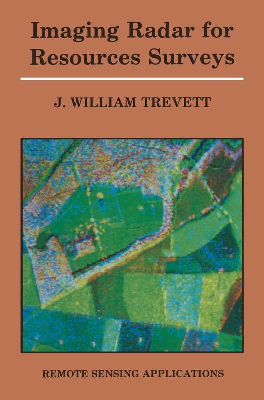
Imaging Radar for Resources Surveys (Remote Sensing Applications)
81% match

Imaging Radar for Resources Surveys (Remote Sensing Applications)

Springer
£77.89 08 Sep 2026
Remote Sensing Applications in Environmental Research (Society of Earth Scientists Series)
81% match

Remote Sensing Applications in Environmental Research (Society of Earth Scientists Series)

Springer
£76.42 13 Aug 2026
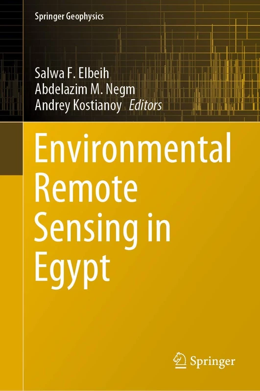
Environmental Remote Sensing in Egypt (Springer Geophysics)
81% match

Environmental Remote Sensing in Egypt (Springer Geophysics)

Springer
£77.49 15 Sep 2026
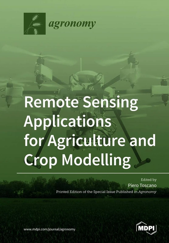
Remote Sensing Applications for Agriculture and Crop Modelling
81% match

Remote Sensing Applications for Agriculture and Crop Modelling

MDPI AG
£54.50 06 Aug 2026
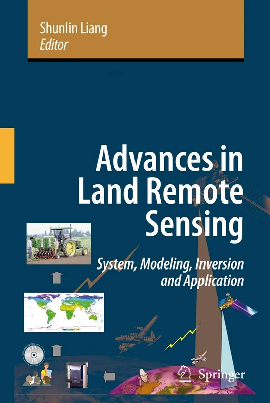
Advances in Land Remote Sensing: System, Modeling, Inversion and Application
81% match

Advances in Land Remote Sensing: System, Modeling, Inversion and Application

Springer
£200.45 17 Aug 2026
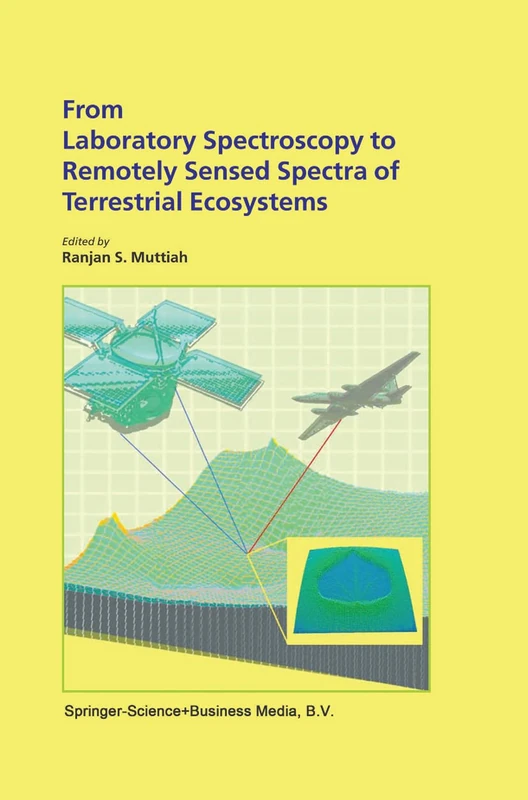
From Laboratory Spectroscopy to Remotely Sensed Spectra of Terrestrial Ecosystems
80% match

From Laboratory Spectroscopy to Remotely Sensed Spectra of Terrestrial Ecosystems

Springer
£129.99 29 Aug 2026
Geospatial Technology for Earth Observation
80% match

Geospatial Technology for Earth Observation

Springer
£109.08 18 Aug 2026
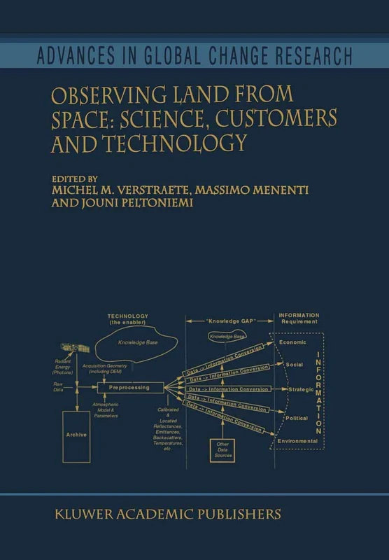
Observing Land from Space: Science, Customers and Technology: 4 (Advances in Global Change Research, 4)
80% match

Observing Land from Space: Science, Customers and Technology: 4 (Advances in Global Change Research, 4)

Springer
£108.01 06 Aug 2026
Satellite Rainfall Applications for Surface Hydrology
80% match

Satellite Rainfall Applications for Surface Hydrology

Springer
£108.01 05 Aug 2026
Land Surface Remote Sensing: Environment and Risks
80% match

Land Surface Remote Sensing: Environment and Risks

Elsevier
£83.42 08 Sep 2026
Advanced in Remote Sensing Approaches for Agricultural Monitoring at Field and Regional Scale
80% match

Advanced in Remote Sensing Approaches for Agricultural Monitoring at Field and Regional Scale

£65.74 15 Sep 2026
Remote Sensing and Climate Modeling: Synergies and Limitations: 7 (Advances in Global Change Research, 7)
79% match

Remote Sensing and Climate Modeling: Synergies and Limitations: 7 (Advances in Global Change Research, 7)

Springer
£109.42 07 Aug 2026
Remote Sensing Application in Agriculture: USING REMOTE SENSING TO ESTIMATE SOIL SALINITY AND EVAPOTRANSPIRATION
79% match

Remote Sensing Application in Agriculture: USING REMOTE SENSING TO ESTIMATE SOIL SALINITY AND EVAPOTRANSPIRATION

VDM Verlag
£50.74 14 Sep 2026
GIS and Remote Sensing Techniques in Land- and Water-management
79% match

GIS and Remote Sensing Techniques in Land- and Water-management

Springer
£79.24 08 Sep 2026
Flood Monitoring through Remote Sensing (Springer Remote Sensing/Photogrammetry)
79% match

Flood Monitoring through Remote Sensing (Springer Remote Sensing/Photogrammetry)

Springer

£108.01 08 Aug 2026
Biophysical Applications of Satellite Remote Sensing (Springer Remote Sensing/Photogrammetry)
79% match

Biophysical Applications of Satellite Remote Sensing (Springer Remote Sensing/Photogrammetry)

Springer
£76.42 07 Aug 2026
Environmental Applications of Remote Sensing and GIS in Libya
79% match

Environmental Applications of Remote Sensing and GIS in Libya

Springer
£100.11 07 Aug 2026
Biophysical Applications of Satellite Remote Sensing (Springer Remote Sensing/Photogrammetry)
79% match

Biophysical Applications of Satellite Remote Sensing (Springer Remote Sensing/Photogrammetry)

Springer
£82.05 16 Sep 2026
Environment and Earth Observation: Case Studies in India (Springer Remote Sensing/Photogrammetry)
79% match

Environment and Earth Observation: Case Studies in India (Springer Remote Sensing/Photogrammetry)

Springer

£119.99 03 Aug 2026
Challenges and Opportunities in Agrometeorology
79% match

Challenges and Opportunities in Agrometeorology

Springer
£156.96 14 Aug 2026
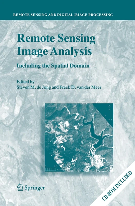
Remote Sensing Image Analysis: Including the Spatial Domain: 5 (Remote Sensing and Digital Image Processing, 5)
79% match

Remote Sensing Image Analysis: Including the Spatial Domain: 5 (Remote Sensing and Digital Image Processing, 5)

Springer

£84.41 15 Sep 2026