£111.56

This is the most expensive it has ever been. Walk away.

£112 today · previous high £112 · all-time low £108

Springer Remote Sensing from Space: Supporting International Peace and Security

Amazon

Price History & Forecast

Grey patches = out of stock. Cheaper = lower on the chart. Hover for exact prices.

Last 68 days · 68 data points (no recent data)

Historical
Generating forecast…
£111.56 £107.66 £108.51 £109.36 £110.21 £111.06 £111.92 11 August 2026 27 August 2026 13 September 2026 30 September 2026 17 October 2026
View at Amazon ↗

Price data last checked 23 day(s) ago - will refresh soon

NEW HERE?

Amazon shows you one price. We show you all of them.

Tosheroon watches Amazon prices so you don't have to. Every product on Amazon has a price history — we make it visible. Set the price you'd actually pay, and we'll email you the second it gets there. No app, no account, one email.

WHAT'S ON THIS PAGE

↑ Price chart
when this has been cheap or pricey
↑ Forecast
where the price is heading next
↓ Statistics
all-time high & low, recent range
↑ Price alert
name your number, we'll email you

Price Distribution

Price distribution over 68 days • 3 price levels

Days at Price
Current Price
43 days 15 days 10 days · current 0 11 22 32 43 £108 £109 £112 Days at Price

Price Analysis

Most common price: £108 (43 days, 63.2%)

Price range: £108 - £112

Price levels: 3 different prices over 68 days

Description

David Stevens Space-based information, which includes earth observation data, is increasingly becoming an integral part of our lives. We have been relying for decades on data obtained from meteorological satellites for updates on the weather and to monitor weather-related natural disasters such as hurricanes. We now count on our personal satellite-based navigation systems to guide us to the nearest Starbucks Coffee and use web-based applications such as Google Earth and Microsoft Virtual Earth to study the area of places we will or would like to visit. At the same time, satellite-based technologies have experienced impressive growth in recent years with an increase in the number of available sensors, an increase in spatial, temporal and spectral resolutions, an increase in the availability of radar satellites such as Terrasar-X and ALOS, and the launching of specific constellations such as the Disaster Monitoring Constellation (DMC), COSMO- SkyMed (COnstellation of small Satellites for the Mediterranean basin Observation) and RapidEye. Even more recent are the initiatives being set-up to ensure that space-based information is being accessed and used by decision makers, such as Sentinel Asia for the Asia and Pacific region and SERVIR for the Latin America and Caribbean region.

Product Specifications

Format
paperback
Domain
Amazon UK
Release Date
30 November 2014
Listed Since
02 December 2014

Barcode

No barcode data available

Similar Products You Might Like

Earth Science Satellite Applications: Current and Future Prospects (Springer Remote Sensing/Photogrammetry)
84% match

Earth Science Satellite Applications: Current and Future Prospects (Springer Remote Sensing/Photogrammetry)

Springer

£108.97 24 Oct 2026
Advances in Earth Observation of Global Change
84% match

Advances in Earth Observation of Global Change

Springer
£76.42 27 Oct 2026
Time-Sensitive Remote Sensing
84% match

Time-Sensitive Remote Sensing

Springer

£75.27 22 Oct 2026
Earth Observation of Global Change: The Role of Satellite Remote Sensing in Monitoring the Global Environment
84% match

Earth Observation of Global Change: The Role of Satellite Remote Sensing in Monitoring the Global Environment

Springer
£59.44 26 Oct 2026
Global Changes and Natural Disaster Management: Geo-information Technologies
83% match

Global Changes and Natural Disaster Management: Geo-information Technologies

Springer
£108.91 24 Oct 2026
Flood Monitoring through Remote Sensing (Springer Remote Sensing/Photogrammetry)
83% match

Flood Monitoring through Remote Sensing (Springer Remote Sensing/Photogrammetry)

Springer

£110.82 26 Oct 2026
Earth Observation of Global Change: The Role of Satellite Remote Sensing in Monitoring the Global Environment
83% match

Earth Observation of Global Change: The Role of Satellite Remote Sensing in Monitoring the Global Environment

Springer
£75.10 21 Oct 2026
Innovations in Remote Sensing and Photogrammetry (Lecture Notes in Geoinformation and Cartography)
82% match

Innovations in Remote Sensing and Photogrammetry (Lecture Notes in Geoinformation and Cartography)

Springer

£113.76 26 Oct 2026
Remote Sensing and Climate Modeling: Synergies and Limitations: 7 (Advances in Global Change Research, 7)
82% match

Remote Sensing and Climate Modeling: Synergies and Limitations: 7 (Advances in Global Change Research, 7)

Springer

£110.26 24 Oct 2026
Mathematical Models for Remote Sensing Image Processing: Models and Methods for the Analysis of 2D Satellite and Aerial Images (Signals and Communication Technology)
82% match

Mathematical Models for Remote Sensing Image Processing: Models and Methods for the Analysis of 2D Satellite and Aerial Images (Signals and Communication Technology)

Springer

£120.93 23 Oct 2026
82% match

Remote Sensing and Climate Dynamics: Monitoring Impacts, Understanding Change, and Guiding Solutions

Elsevier

£137.99 21 Oct 2026
Satellite Photoelectric Sensing Technology: Communication, Navigation and Reconnaissance
82% match

Satellite Photoelectric Sensing Technology: Communication, Navigation and Reconnaissance

Springer
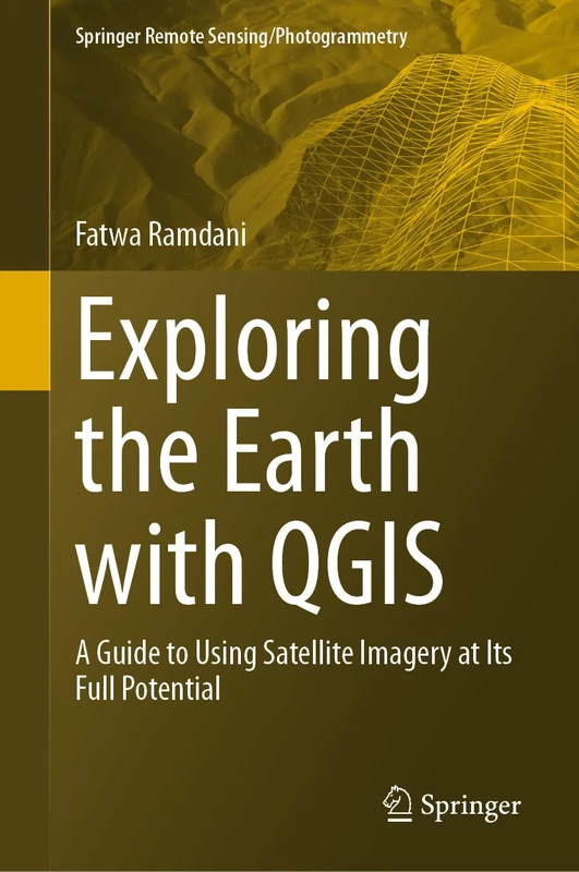
£113.77 24 Oct 2026
Exploring the Earth with QGIS: A Guide to Using Satellite Imagery at Its Full Potential (Springer Remote Sensing/Photogrammetry)
82% match

Exploring the Earth with QGIS: A Guide to Using Satellite Imagery at Its Full Potential (Springer Remote Sensing/Photogrammetry)

Springer
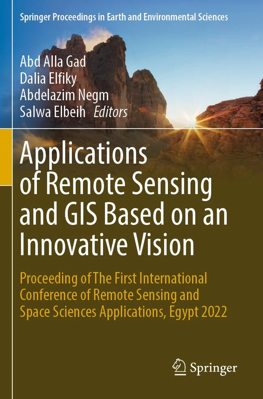
£114.83 31 Oct 2026
Applications of Remote Sensing and GIS Based on an Innovative Vision: Proceeding of The First International Conference of Remote Sensing and Space ... in Earth and Environmental Sciences)
82% match

Applications of Remote Sensing and GIS Based on an Innovative Vision: Proceeding of The First International Conference of Remote Sensing and Space ... in Earth and Environmental Sciences)

Springer
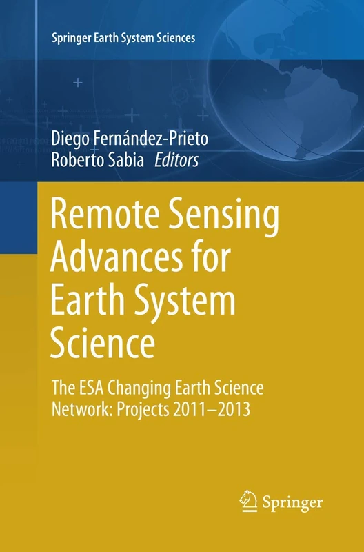
£128.45 24 Oct 2026
Remote Sensing Advances for Earth System Science: The ESA Changing Earth Science Network: Projects 2011-2013 (Springer Earth System Sciences)
81% match

Remote Sensing Advances for Earth System Science: The ESA Changing Earth Science Network: Projects 2011-2013 (Springer Earth System Sciences)

Springer
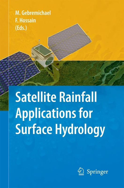
£74.07 23 Oct 2026
Satellite Rainfall Applications for Surface Hydrology
81% match

Satellite Rainfall Applications for Surface Hydrology

Springer

£110.53 22 Oct 2026
Fundamentals and Advances in Remote Sensing: From Principles to AI Applications
81% match

Fundamentals and Advances in Remote Sensing: From Principles to AI Applications

Elsevier

£141.99 22 Oct 2026
Remote Sensing Big Data (Springer Remote Sensing/Photogrammetry)
81% match

Remote Sensing Big Data (Springer Remote Sensing/Photogrammetry)

Springer
£128.26 21 Oct 2026
Remote Sensing for Characterization of Geohazards and Natural Resources (Springer Remote Sensing/Photogrammetry)
81% match

Remote Sensing for Characterization of Geohazards and Natural Resources (Springer Remote Sensing/Photogrammetry)

Springer
£108.01 03 Sep 2026
Models and Methods for Synthetic Aperture Radar Remote Sensing: From Physics to Applications (Earth Observation)
81% match

Models and Methods for Synthetic Aperture Radar Remote Sensing: From Physics to Applications (Earth Observation)

Elsevier

£140.00 22 Oct 2026
Remote Sensing of the Atmosphere for Environmental Security (Nato Security through Science Series C:)
81% match

Remote Sensing of the Atmosphere for Environmental Security (Nato Security through Science Series C:)

Springer

£82.39 27 Oct 2026
Biophysical Applications of Satellite Remote Sensing (Springer Remote Sensing/Photogrammetry)
81% match

Biophysical Applications of Satellite Remote Sensing (Springer Remote Sensing/Photogrammetry)

Springer

£76.42 24 Oct 2026
Spatial Big Data Science: Classification Techniques for Earth Observation Imagery
81% match

Spatial Big Data Science: Classification Techniques for Earth Observation Imagery

Springer

£92.42 24 Oct 2026
Remote Sensing and Modeling: Advances in Coastal and Marine Resources: 9 (Coastal Research Library, 9)
81% match

Remote Sensing and Modeling: Advances in Coastal and Marine Resources: 9 (Coastal Research Library, 9)

Springer

£114.45 02 Sep 2026