We can't find the internet
Attempting to reconnect
Something went wrong
Hang in there while we get back on track
£47.45
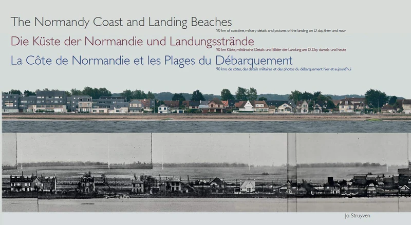
EXHIBITIONS The Normandy Coast and Landing Beaches: La Côte de Normandie et les Plages du Débarquement - Die Küste der Normandie und Landungsstrände (Panoramas (4))
Price data last checked 21 day(s) ago - will refresh soon
We'll watch every seller, every day. One email when your price arrives.
Cheaper than 61% of the days we've watched it. Below what most people pay.
£47 today · 30-day average £52 · all-time low £38
NEW HERE?
Amazon shows you one price. We show you all of them.
Tosheroon watches Amazon prices so you don't have to. Every product on Amazon has a price history — we make it visible. Set the price you'd actually pay, and we'll email you the second it gets there. No app, no account, one email.
WHAT'S ON THIS PAGE
when this has been cheap or pricey
where the price is heading next
all-time high & low, recent range
name your number, we'll email you
Price History & Forecast
Grey patches = out of stock. Cheaper = lower on the chart. Hover for exact prices.
Last 70 days · 70 data points (no recent data)
Price Distribution
Price distribution over 70 days • 4 price levels
Price Analysis
Most common price: £57 (38 days, 54.3%)
Price range: £38 - £57
Price levels: 4 different prices over 70 days
Description
Product Specifications
- Brand
- EXHIBITIONS
- Format
- hardcover
- ASIN
- 9081925326
- Domain
- Amazon UK
- Release Date
- 15 July 2019
- Listed Since
- 03 April 2019
Barcode
No barcode data available
Similar Products You Might Like
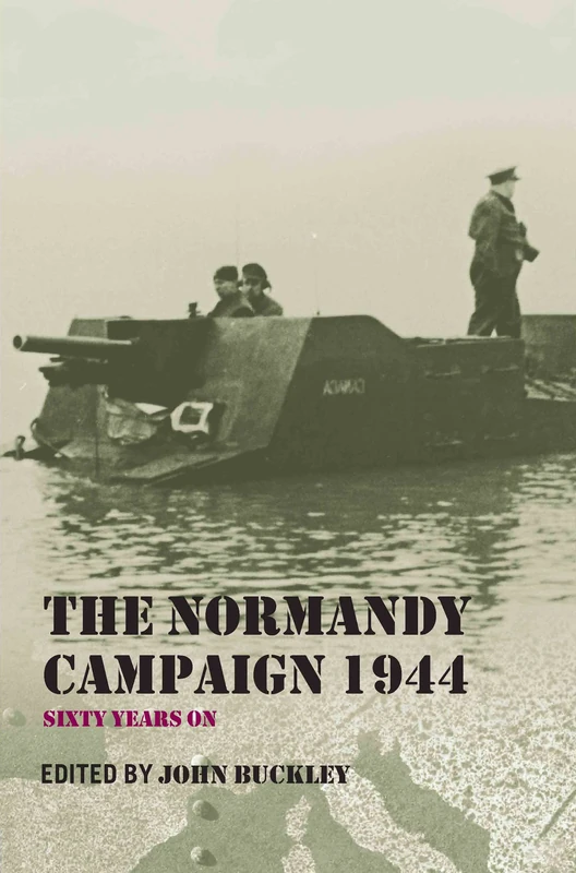
Routledge - The Normandy Campaign 1944: Sixty Years On Book
Routledge

D-Day: The Essential Reference Guide
ABC-CLIO
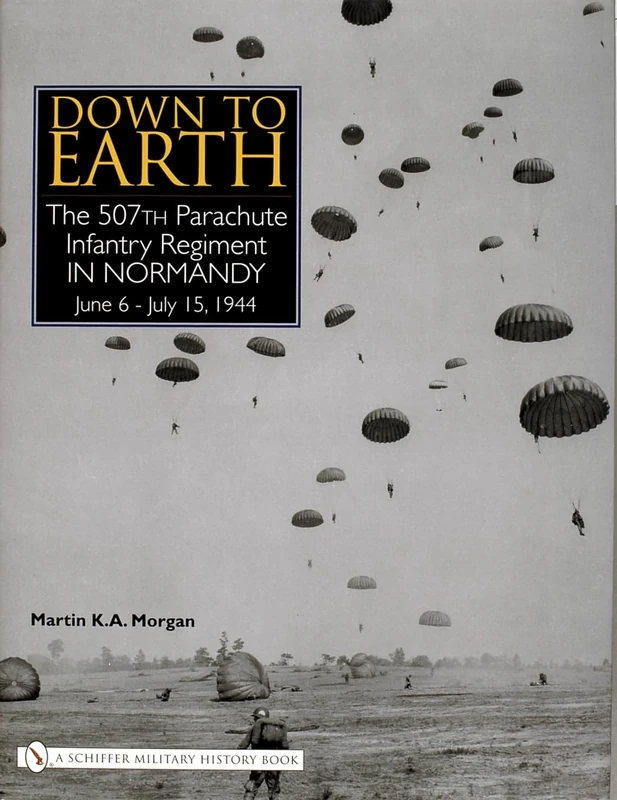
Down to Earth: The 507th Parachute Infantry Regiment in Normandy
SCHIFFER MILITARY
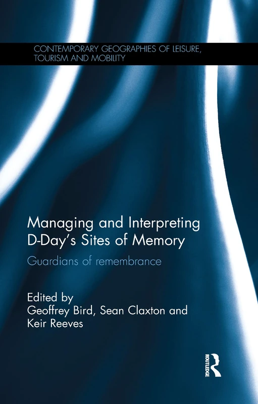
Managing and Interpreting D-Day's Sites of Memory: Guardians of remembrance (Contemporary Geographies of Leisure, Tourism and Mobility)
Routledge
The Normandy Campaign 1944: Sixty Years On (Military History and Policy)
Routledge
The Canadian Army and the Normandy Campaign: A Study of Failure in High Command
Bloomsbury Academic
Unit Serial Numbers d'après la « First U.S. Army Build-Up Priority Tables, List A (D+1 through D+14) » D-Day (Normandy) Top Secret – BIGOT NEPTUNE
Lulu
Unit Serial Numbers from the "First U.S. Army Build-Up Priority Tables, List A, D+1 through D+14" D-Day (Normandy) - Top Secret - BIGOT NEPTUNE
Lulu
101st Airborne in Normandy: A History in Period Photographs
SCHIFFER MILITARY
United States Army Logistics: The Normandy Campaign, 1944: 155 (Contributions in Military Studies)
Praeger

North Atlantic Civilization at War: World War II Battles of Sky, Sand, Snow, Sea and Shore
Routledge

We Won the War but Lost the Empire: True Short Stories From The Second World War As Told by the People Who were There
Vij Books India Private Limited

Airborne to Arnhem Volume 2: Personal reminiscences of the Battle of Arnhem, Operation Market, 17-26 September 1944
Helion & Company

Histories of the Aftermath: The Legacies of the Second World War in Europe
Berghahn Books

Coastal Environments:: Problems and Perspectives
Airborne to Arnhem Volume 3: Personal reminiscences of the Battle of Arnhem, Operation Market, 17-26 September 1944: 2
Helion & Company
56th Infantry Brigade and D-Day: An Independent Infantry Brigade and the Campaign in North West Europe 1944-1945 (Bloomsbury Studies in Military History)
Continuum

World War II Battles Reconsidered: Game Theory and Decision Science Perspectives on Gazala, El Alamein, Falaise and Arnhem
McFarland