We can't find the internet
Attempting to reconnect
Something went wrong!
Hang in there while we get back on track
£64.00
LAP Lambert Academic Publishing A Semantic Zoom Approach in GIS to Rule-based Landscape Visualization: The semantic zoom tools are designed and implemented in GIS for rule-based landscape visualization
Price data checked 1 day ago
We'll watch every seller, every day. One email when your price arrives.
It has never been this cheap. We have no record of a lower price.
£64 today · cheaper than every other day in the last 3 months
NEW HERE?
Amazon shows you one price. We show you all of them.
Tosheroon watches Amazon prices so you don't have to. Every product on Amazon has a price history — we make it visible. Set the price you'd actually pay, and we'll email you the second it gets there. No app, no account, one email.
WHAT'S ON THIS PAGE
when this has been cheap or pricey
where the price is heading next
all-time high & low, recent range
name your number, we'll email you
Price History & Forecast
Grey patches = out of stock. Cheaper = lower on the chart. Hover for exact prices.
Last 90 days • 90 data points
Price Distribution
Price distribution over 90 days • 1 price levels
Price Analysis
Most common price: £64 (90 days, 100.0%)
Price range: £64 - £64
Price levels: 1 different prices over 90 days
Product Specifications
- Format
- paperback
- ASIN
- 3843385114
- Domain
- Amazon UK
- Release Date
- 09 December 2010
- Listed Since
- 29 December 2010
Barcode
No barcode data available
Similar Products You Might Like
SEMANTIC INTEGRATION OF GIS AND OLAP IN LOCATION BASED SERVICES: APPLICATION OF SEMANTIC WEB TECHNOLOGY
LAP Lambert Academic Publishing
Towards The Semantic Web: The Automation Of Knowledge Acquisition From The Medical Web
LAP Lambert Academic Publishing
Remote Sensing and GIS Application for Land use/ Land cover Change Analysis
LAP Lambert Academic Publishing
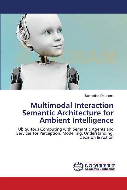
Multimodal Interaction Semantic Architecture for Ambient Intelligence: Ubiquitous Computing with Semantic Agents and Services for Perception, Modelling, Understanding, Decision & Action
LAP Lambert Academic Publishing
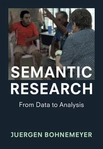
Semantic Research: From Data to Analysis
Cambridge University Press
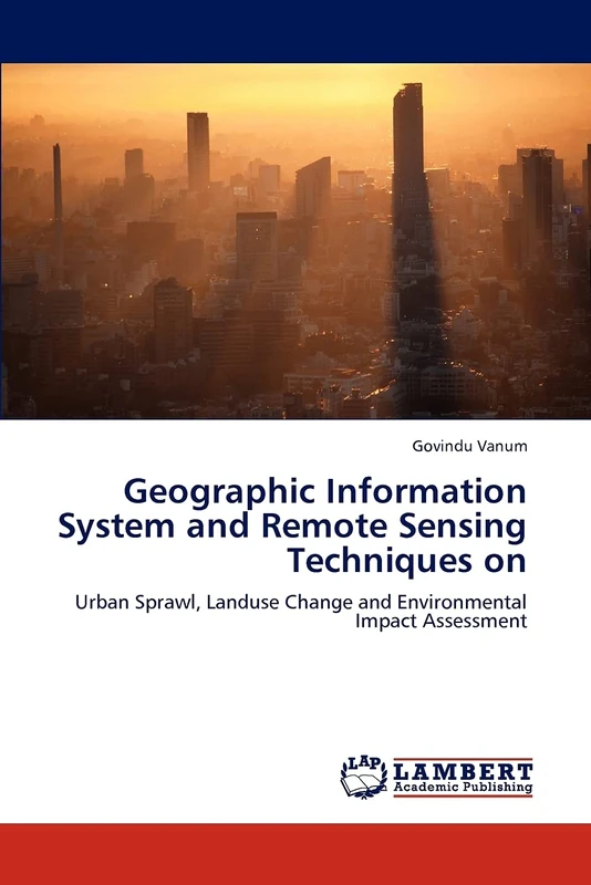
Geographic Information System and Remote Sensing Techniques on: Urban Sprawl, Landuse Change and Environmental Impact Assessment
LAP Lambert Academic Publishing
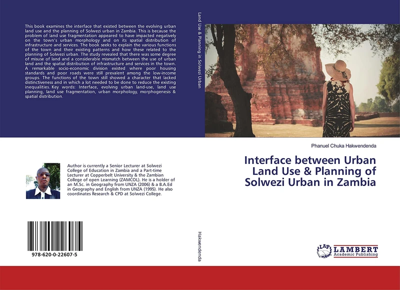
Interface between Urban Land Use & Planning of Solwezi Urban in Zambia
LAP Lambert Academic Publishing
Le zonage en urbanisme de Tokyo-to à Lémancité: La circulation d'un modèle et la variété des finalités
ACADEMIQUES

Semanticheskaya struktura naimenovaniy odeyaniy sluzhiteley very: Na materiale russkogo i frantsuzskogo yazykov
LAP Lambert Academic Publishing
Semantic Decision Tables: A New, Promising and Practical Way of Organizing Your Business Semantics with Existing Decision Making Tools
LAP Lambert Academic Publishing
Rural Roads, Sustainable Growth & Agricultural Trade in Zambia: The Investment-Trade Nexus
LAP Lambert Academic Publishing
Knowledge Engineering and Measure of Semantic Relatedness: Evaluation in the Domain of Multimedia
LAP Lambert Academic Publishing
Сакральные жанры и их актуализация в рассказах Е. Замятина 1910-х гг.
LAP Lambert Academic Publishing
Special Economic Zones in India: An Overview of Special Economic Zones in India
LAP Lambert Academic Publishing
Районный масштаб: зона реформ (философско-социологические этюды)
LAP Lambert Academic Publishing
ONTOLOGY GENERATION FOR SEMANTIC SEARCH SYSTEM USING DATA MINING: SEMANTIC SEARCH SYSTEM
LAP Lambert Academic Publishing
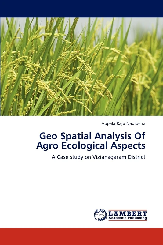
Geo Spatial Analysis Of Agro Ecological Aspects: A Case study on Vizianagaram District
LAP Lambert Academic Publishing
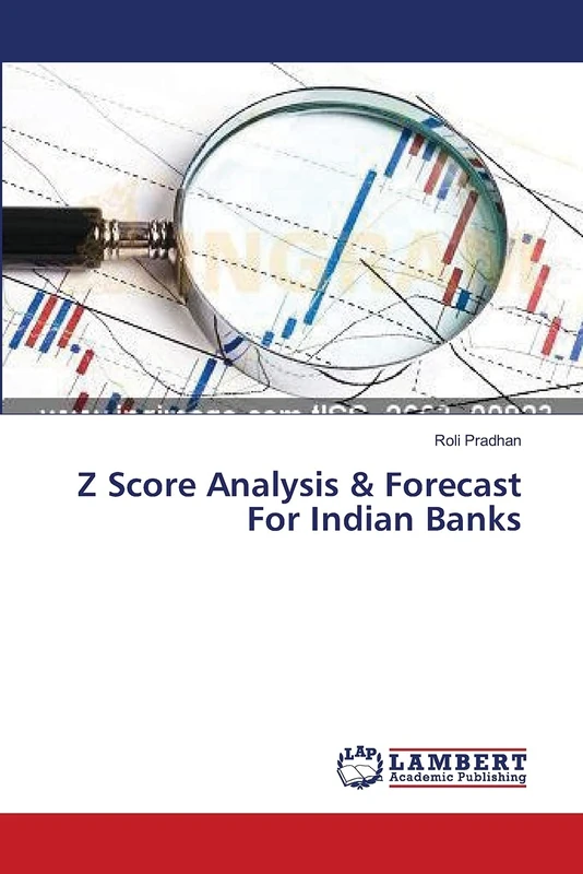
Z Score Analysis & Forecast For Indian Banks
LAP Lambert Academic Publishing
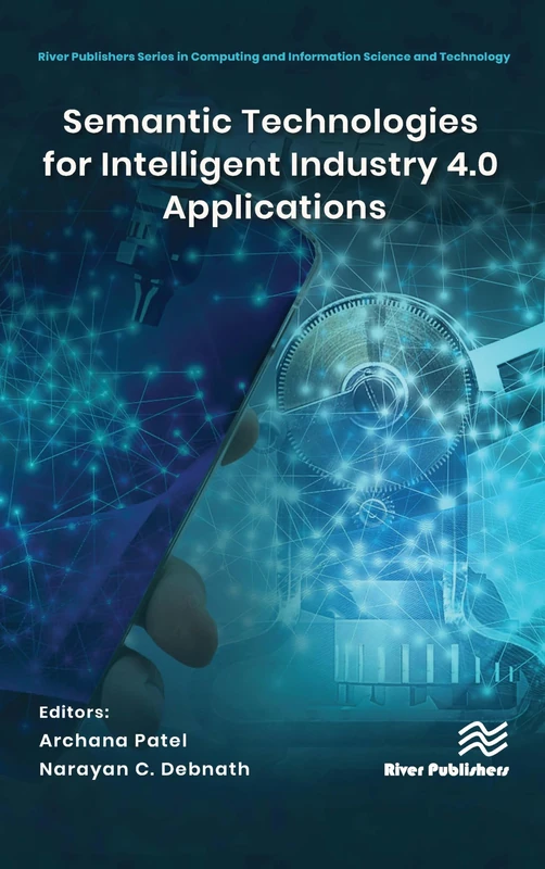
Semantic Technologies for Intelligent Industry 4.0 Applications (River Publishers Series in Computing and Information Science and Technology)
River Publishers
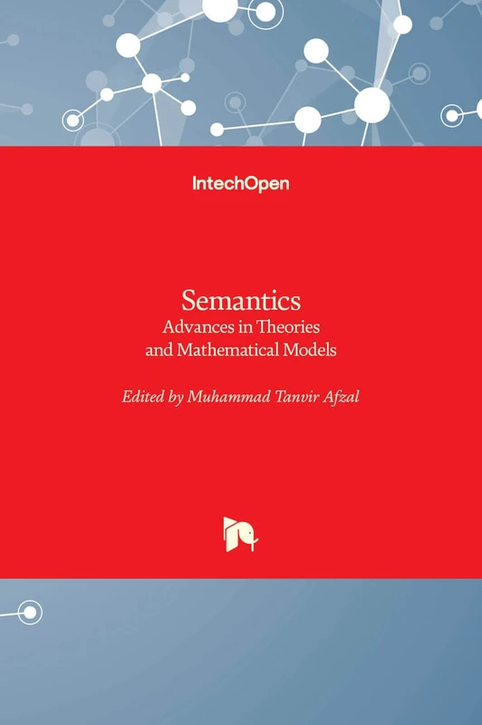
Semantics - Advances in Theories and Mathematical Models
IntechOpen

Semiotics Study in Selected Literary Texts
LAP Lambert Academic Publishing
Urbanization Processes and Performing Urban Structures: The Dimension of Cities Revisited
LAP Lambert Academic Publishing

Rechevoe obshchenie v sem'e: Semeynye roli i semeynyy leksikon
LAP Lambert Academic Publishing
Systemic theory applied to ecology, geography and spatial planning: Theoretical and methodological developments
LAP Lambert Academic Publishing