We can't find the internet
Attempting to reconnect
Something went wrong
Hang in there while we get back on track
£61.00
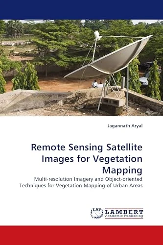
LAP Lambert Academic Publishing Remote Sensing Satellite Images for Vegetation Mapping: Multi-resolution Imagery and Object-oriented Techniques for Vegetation Mapping of Urban Areas
Price data last checked 22 day(s) ago - will refresh soon
We'll watch every seller, every day. One email when your price arrives.
It has never been this cheap. We have no record of a lower price.
£61 today · cheaper than every other day in the last 3 months
NEW HERE?
Amazon shows you one price. We show you all of them.
Tosheroon watches Amazon prices so you don't have to. Every product on Amazon has a price history — we make it visible. Set the price you'd actually pay, and we'll email you the second it gets there. No app, no account, one email.
WHAT'S ON THIS PAGE
when this has been cheap or pricey
where the price is heading next
all-time high & low, recent range
name your number, we'll email you
Price History & Forecast
Grey patches = out of stock. Cheaper = lower on the chart. Hover for exact prices.
Last 69 days · 69 data points (no recent data)
Price Distribution
Price distribution over 69 days • 1 price levels
Price Analysis
Most common price: £61 (69 days, 100.0%)
Price range: £61 - £61
Price levels: 1 different prices over 69 days
Description
Product Specifications
- Format
- paperback
- ASIN
- 3838325451
- Domain
- Amazon UK
- Release Date
- 22 November 2009
- Listed Since
- 27 November 2009
Barcode
No barcode data available
Similar Products You Might Like
Remote Sensing of Natural Resources (Remote Sensing Applications Series)
CRC Press
Fundamentals, Sensor Systems, Spectral Libraries, and Data Mining for Vegetation: Hyperspectral Remote Sensing of Vegetation (Hyperspectral Remote Sensing of Vegetation, Second Edition)
CRC Press
Fundamentals, Sensor Systems, Spectral Libraries, and Data Mining for Vegetation: Hyperspectral Remote Sensing of Vegetation (Hyperspectral Remote Sensing of Vegetation, Second Edition)
CRC Press

Remote Sensing Applications for the Urban Environment
CRC Press
Remote Sensing in Ecology: Remote Sensing and Application of Vegetation, Soil and Water Indices
LAP Lambert Academic Publishing
Global Vegetation: Fundamentals, Ecology and Distribution
Springer

Urban High-Resolution Remote Sensing: Algorithms and Modeling
CRC Press
Environment and Earth Observation: Case Studies in India (Springer Remote Sensing/Photogrammetry)
Springer

Remote Sensing and Digital Image Processing with R
CRC Press
Remote Sensing for Sustainability (Remote Sensing Applications Series)
CRC Press

Theory and models in vegetation science: Proceedings of Symposium, Uppsala, July 8–13, 1985 (Advances in Vegetation Science, 8)
Springer
Hyperspectral Indices and Image Classifications for Agriculture and Vegetation: Hyperspectral Remote Sensing of Vegetation (Hyperspectral Remote Sensing of Vegetation, Second Edition)
CRC Press
Theory and models in vegetation science: Proceedings of Symposium, Uppsala, July 8–13, 1985 (Advances in Vegetation Science, 8)
Springer
Hyperspectral Remote Sensing of Agriculture and Vegetation
Hyperspectral Remote Sensing: Theory and Applications (Earth Observation)
Elsevier
Land Surface Remote Sensing in Agriculture and Forest
Elsevier
Remote Sensing Time Series: Revealing Land Surface Dynamics: 22 (Remote Sensing and Digital Image Processing, 22)
Springer
Remote Sensing for Food Security (Sustainable Development Goals Series)
Springer

Vegetation Ecology
Wiley