We can't find the internet
Attempting to reconnect
Something went wrong
Hang in there while we get back on track
£68.56
This is the usual price. Wait for it to drop, or tell us your number.
£69 today · usual range £59–£69 · best ever £59
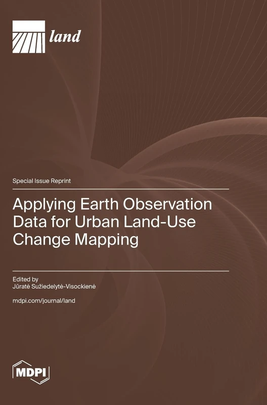
Applying Earth Observation Data for Urban Land-Use Change Mapping
We'll watch every seller, every day. One email when your price arrives.
Price History & Forecast
Grey patches = out of stock. Cheaper = lower on the chart. Hover for exact prices.
Last 58 days · 58 data points (no recent data)
NEW HERE?
Amazon shows you one price. We show you all of them.
Tosheroon watches Amazon prices so you don't have to. Every product on Amazon has a price history — we make it visible. Set the price you'd actually pay, and we'll email you the second it gets there. No app, no account, one email.
WHAT'S ON THIS PAGE
when this has been cheap or pricey
where the price is heading next
all-time high & low, recent range
name your number, we'll email you
Price Distribution
Price distribution over 58 days • 2 price levels
Price Analysis
Most common price: £59 (33 days, 56.9%)
Price range: £59 - £69
Price levels: 2 different prices over 58 days
Description
Product Specifications
- Format
- hardcover
- ASIN
- 3725837856
- Domain
- Amazon UK
- Release Date
- 08 April 2025
- Listed Since
- 09 April 2025
Barcode
No barcode data available
Similar Products You Might Like
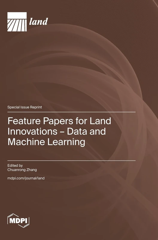
Feature Papers for Land Innovations - Data and Machine Learning
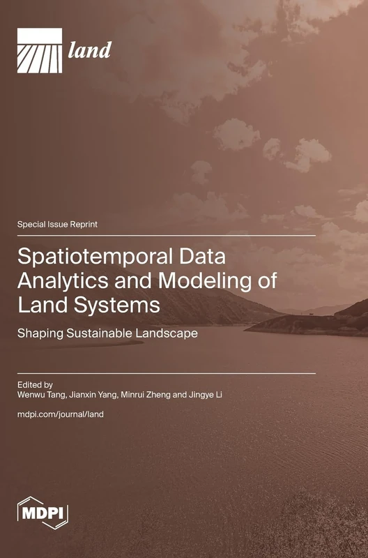
Spatiotemporal Data Analytics and Modeling of Land Systems: Shaping Sustainable Landscape
Sustainable Land Use and Management
Urban Land Development in the Process of Urbanization
Advanced in Remote Sensing Approaches for Agricultural Monitoring at Field and Regional Scale
Methods and Applications of Data Management and Analytics

Rural Land Management Interaction with Urbanization
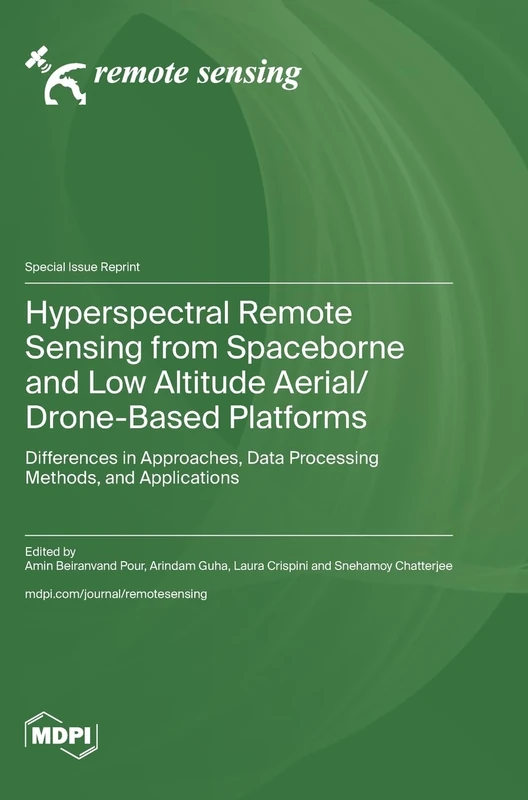
Hyperspectral Remote Sensing from Spaceborne and Low Altitude Aerial/Drone-Based Platforms: Differences in Approaches, Data Processing Methods, and Applications
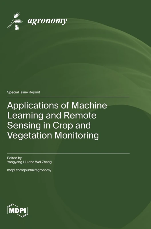
Applications of Machine Learning and Remote Sensing in Crop and Vegetation Monitoring

Deep Learning Technology and Image Sensing

Satellite Data Application, Validation and Calibration for Atmospheric Observation

Mapping, Monitoring and Assessing Disasters
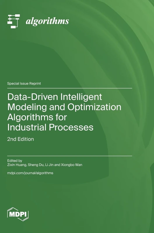
Data-Driven Intelligent Modeling and Optimization Algorithms for Industrial Processes: 2nd Edition
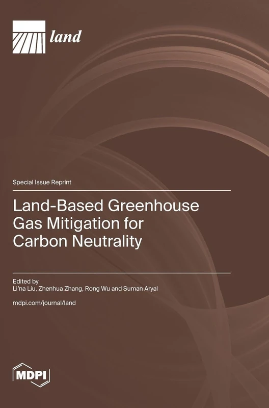
Land-Based Greenhouse Gas Mitigation for Carbon Neutrality

Applying Deep Learning Technology for Spatiotemporal Prediction of Air Pollution from Urban Mobile Sources

EEG Signal Processing Techniques and Applications
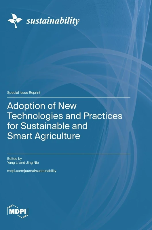
Adoption of New Technologies and Practices for Sustainable and Smart Agriculture
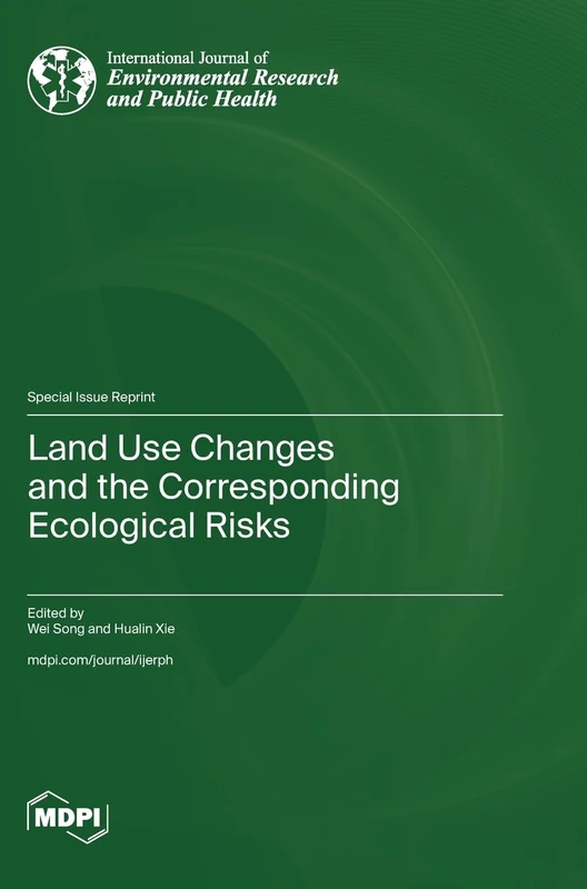
Land Use Changes and the Corresponding Ecological Risks
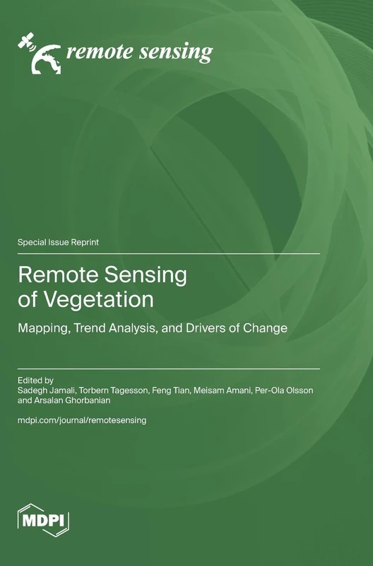
Remote Sensing of Vegetation: Mapping, Trend Analysis, and Drivers of Change

Application of Big Data Mining, Machine Learning and Artificial Intelligence in Geoscience, 2nd Edition

The Adaptability of Residential Planning and Design to World-Changing Events

Sediment Transport
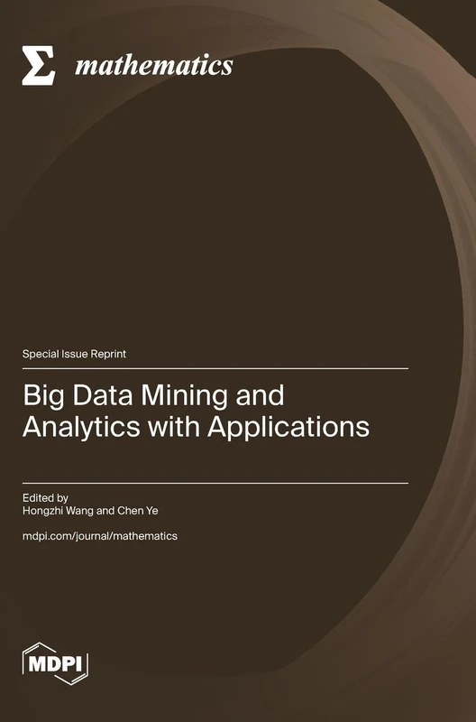
Big Data Mining and Analytics with Applications