We can't find the internet
Attempting to reconnect
Something went wrong
Hang in there while we get back on track
£122.13
Springer GIS Processing of Geocoded Satellite Data (Springer Praxis Books)
Price data last checked 11 day(s) ago - will refresh soon
We'll watch every seller, every day. One email when your price arrives.
It has never been this cheap. We have no record of a lower price.
£122 today · cheaper than every other day in the last 3 months
NEW HERE?
Amazon shows you one price. We show you all of them.
Tosheroon watches Amazon prices so you don't have to. Every product on Amazon has a price history — we make it visible. Set the price you'd actually pay, and we'll email you the second it gets there. No app, no account, one email.
WHAT'S ON THIS PAGE
when this has been cheap or pricey
where the price is heading next
all-time high & low, recent range
name your number, we'll email you
Price History & Forecast
Grey patches = out of stock. Cheaper = lower on the chart. Hover for exact prices.
Last 80 days · 80 data points (no recent data)
Price Distribution
Price distribution over 80 days • 2 price levels
Price Analysis
Most common price: £122 (70 days, 87.5%)
Price range: £122 - £124
Price levels: 2 different prices over 80 days
Description
Product Specifications
- Brand
- Springer
- Format
- hardcover
- ASIN
- 3540426485
- Domain
- Amazon UK
- Release Date
- 01 October 2001
- Listed Since
- 12 February 2007
Barcode
No barcode data available
Similar Products You Might Like

Geoinformation: Remote Sensing, Photogrammetry and Geographic Information Systems, Second Edition
CRC Press

Geospatial Law, Policy and Ethics: Where Geospatial Technology is Taking the Law
Routledge

Mathematical Techniques in GIS
CRC Press
Monitoring and Modeling of Global Changes: A Geomatics Perspective (Springer Remote Sensing/Photogrammetry)
Springer
Geospatial Technology and the Role of Location in Science: 96 (GeoJournal Library, 96)
Springer
Geospatial Technologies for All: Selected Papers of the 21st AGILE Conference on Geographic Information Science (Lecture Notes in Geoinformation and Cartography)
Springer
Geospatial Infrastructure, Applications and Technologies: India Case Studies
Springer
Geospatial Services and Applications for the Internet
Springer

Geospatial Technologies and Geography Education in a Changing World: Geospatial Practices and Lessons Learned (Advances in Geographical and Environmental Sciences)
Springer
The Geospatial Web: How Geobrowsers, Social Software and the Web 2.0 are Shaping the Network Society (Advanced Information and Knowledge Processing)
Springer
Emerging Methods and Multidisciplinary Applications in Geospatial Research
Information Science Reference

Advanced Geoinformation Science
CRC Press
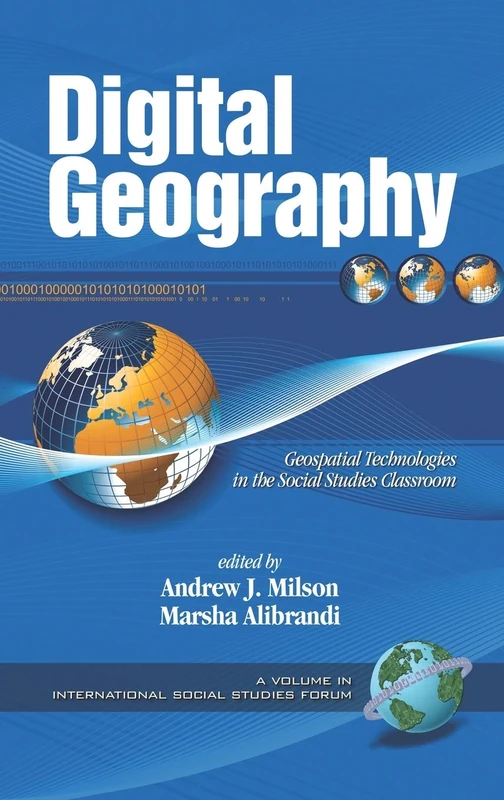
Digital Geography: Geo-spatial Technologies in the Social Studies Classroom (International Social Studies Forum) (International Social Studies Forum: The Series)
Information Age Publishing

Geospatial Data, Information, and Intelligence: Principles and Application
Artech House
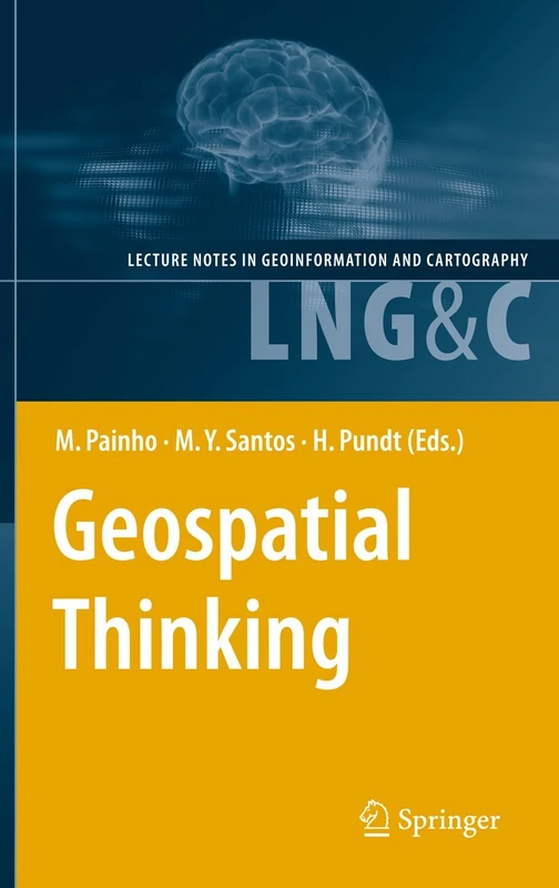
Springer Geospatial Thinking - AGILE Conference Lecture Notes
Springer
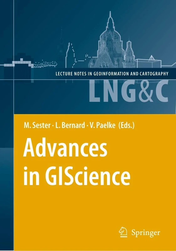
Advances in GIScience: Proceedings of the 12th AGILE Conference (Lecture Notes in Geoinformation and Cartography)
Springer

Information Fusion and Geographic Information Systems: Proceedings of the Fourth International Workshop, 17-20 May 2009 (Lecture Notes in Geoinformation and Cartography)
Springer

Advances in 3D Geo-Information Sciences (Lecture Notes in Geoinformation and Cartography)
Springer
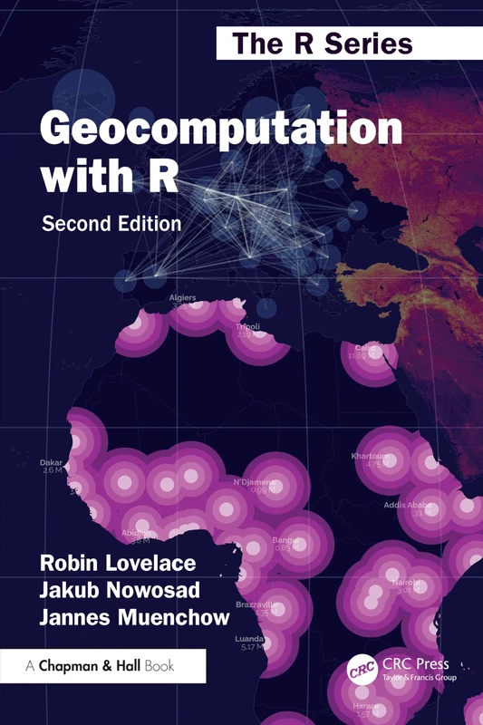
Geocomputation with R (Chapman & Hall/CRC The R Series)
Chapman and Hall/CRC

Innovations in 3D Geo-Information Sciences (Lecture Notes in Geoinformation and Cartography)
Springer

Societal Geo-innovation: Selected papers of the 20th AGILE conference on Geographic Information Science (Lecture Notes in Geoinformation and Cartography)
Springer
Geoinformatics for Sustainable Development in Asian Cities (Springer Geography)
Springer
Geospacial Computing in Mobile Devices (Mobile Communications)
Artech House
A Short Introduction to Geospatial Intelligence
CRC Press