We can't find the internet
Attempting to reconnect
Something went wrong!
Hang in there while we get back on track
£70.53
MDPI AG Remote Sensing of Precipitation: Volume 1
Price data last checked 114 day(s) ago - refreshing...
We'll watch every seller, every day. One email when your price arrives.
This is the usual price. Wait for it to drop, or tell us your number.
£71 today · usual range £0–£0 · best ever £66
NEW HERE?
Amazon shows you one price. We show you all of them.
Tosheroon watches Amazon prices so you don't have to. Every product on Amazon has a price history — we make it visible. Set the price you'd actually pay, and we'll email you the second it gets there. No app, no account, one email.
WHAT'S ON THIS PAGE
when this has been cheap or pricey
where the price is heading next
all-time high & low, recent range
name your number, we'll email you
Price History & Forecast
Grey patches = out of stock. Cheaper = lower on the chart. Hover for exact prices.
Last 617 days • 617 data points (No recent data available)
Price Distribution
Price distribution over 617 days • 3 price ranges
Price Analysis
Most common range: £66-90 (567 days, 91.9%)
Price range: £66 - £183
Price levels: 3 price ranges over 617 days
Product Specifications
- Brand
- MDPI AG
- Format
- paperback
- ASIN
- 3039212850
- Domain
- Amazon UK
- Release Date
- 23 July 2019
- Listed Since
- 25 July 2019
Barcode
No barcode data available
Similar Products You Might Like
Satellite Measurements of Clouds and Precipitation: Theoretical Basis (Springer Remote Sensing/Photogrammetry)
Springer
Remote Sensing for Earth and Planetary Science
Wiley
Remote Sensing of Climate
Elsevier

Re-envisioning Advances in Remote Sensing: Urbanization, Disasters and Planning
CRC Press
Image Processing: For Application of Patchy Rainfall Estimation
Scholars' Press
Remote Sensing for Agriculture, Ecosystems, and Hydrology IX: 9 (Proceedings of SPIE)

Math Physics Foundation of Advanced Remote Sensing Digital Image Processing
Springer

Applications of Remote Sensing
IntechOpen

Remote Sensing for Target Object Detection and Identification
MDPI AG
Subpixel Mapping for Remote Sensing Images
CRC Press
Precipitation: From Cloud Physics to Satellite Observations (Geophysics and Environmental Physics)
Springer
Remote Sensing Handbook, Volume VI: Droughts, Disasters, Pollution, and Urban Mapping: 6
CRC Press
Hyperspectral Remote Sensing in Urban Environments
CRC Press
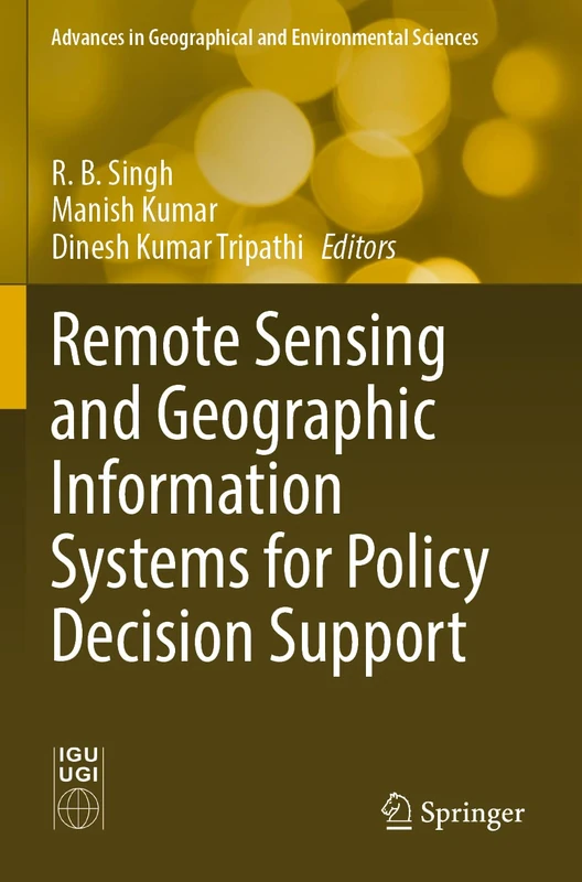
Remote Sensing and Geographic Information Systems for Policy Decision Support (Advances in Geographical and Environmental Sciences)
Springer

Satellite Remote Sensing of Terrestrial Hydrology
Springer
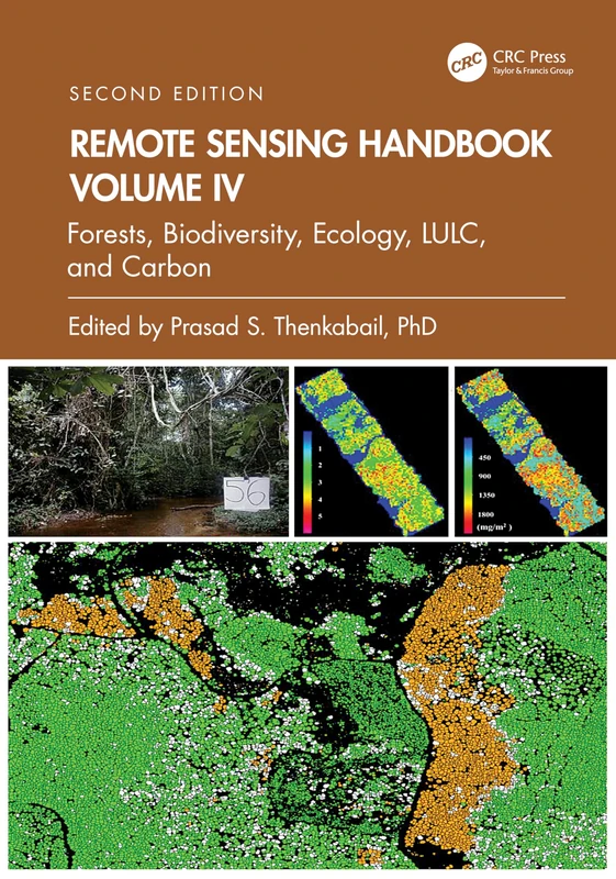
Remote Sensing Handbook, Volume IV: Forests, Biodiversity, Ecology, LULC, and Carbon: 4
CRC Press
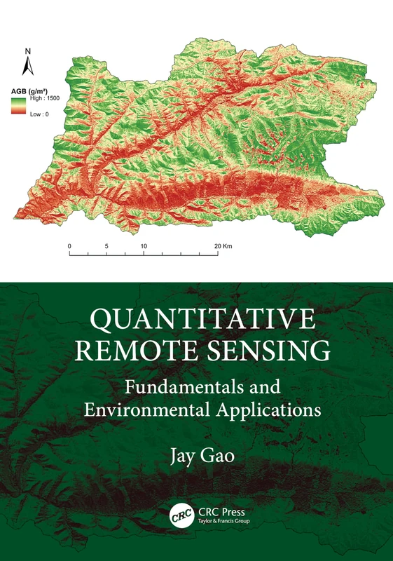
Quantitative Remote Sensing: Fundamentals and Environmental Applications
CRC Press
Remote Sensing and GIS: Space Technology and Machine Learning for Agricultural and Landscape Analytics
John Wiley & Sons Inc
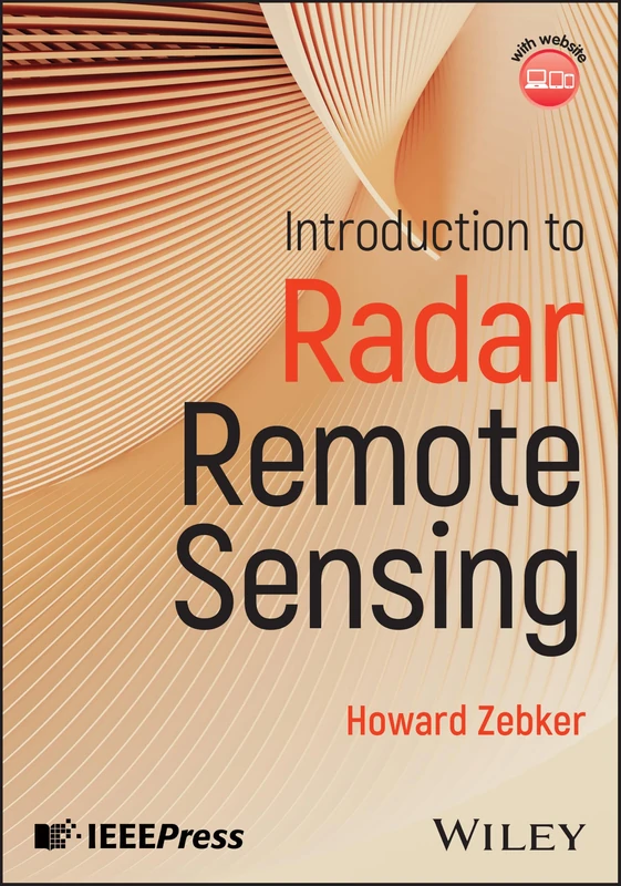
Introduction to Radar Remote Sensing
Wiley-IEEE Press
Remote Sensing for Agriculture, Ecosystems, and Hydrology: VII (SPIE Conference Proceedings) (Proceedings of SPIE)

Satellite Remote Sensing of Terrestrial Hydrology
Springer
Synthetic Aperture Radar Processing, Second Edition
CRC Press
Advances in Remote Sensing for Forest Monitoring
Wiley
Modeling, Data Processing and Remote Sensing in Atmospheric Sciences
Syrawood Publishing House