We can't find the internet
Attempting to reconnect
Something went wrong!
Hang in there while we get back on track

£16.49
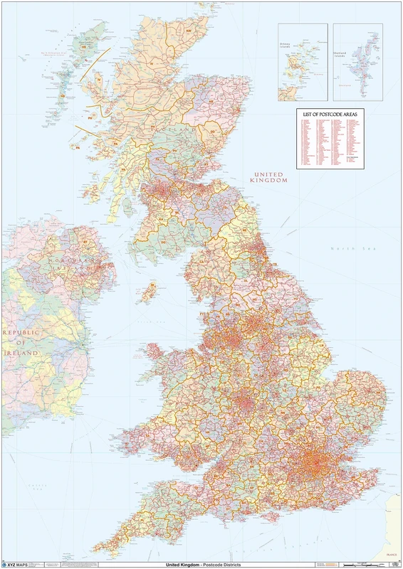
Maps International UK Map - Classic Wall Map Of The United Kingdom Poster - Front Lamination – A1, 84 x 59cm
White, 39.99
Price data last checked 73 day(s) ago - refreshing...
Price History & Forecast
Last 18 days • 18 data points (No recent data available)
Price Distribution
Price distribution over 18 days • 1 price levels
Price Analysis
Most common price: £16 (18 days, 100.0%)
Price range: £16 - £16
Price levels: 1 different prices over 18 days
Key Features
UK wall map: featuring the counties in different classic tones, this beautifully styled map of the UK will blend with any home décor.
Detail & design: created by expert cartographers, the large wall map of the UK is a colourful and educational piece of home or office decoration.
Write-on finish: poster sized, the A1 large UK map measures 84 (w) x 59 (h) cm, and the classic UK map is finished with write-on front sheet lamination.
Creaseless delivery: your colourful map of the UK poster is rolled in a tube for delivery, so it arrives ready to display.
Maps International: our philosophy of 'cartographic excellence' combines detail, design and high quality finishes in a range of stunning wall maps.
Product Specifications
- Brand
- Maps International
- Model
- 39.99
- Colour
- White
- Format
- map
- ASIN
- 1912203847
- Domain
- Amazon UK
- Publication Date
- 01 September 2023
- Listed Since
- 04 August 2017
Barcode
No barcode data available
Similar Products You Might Like

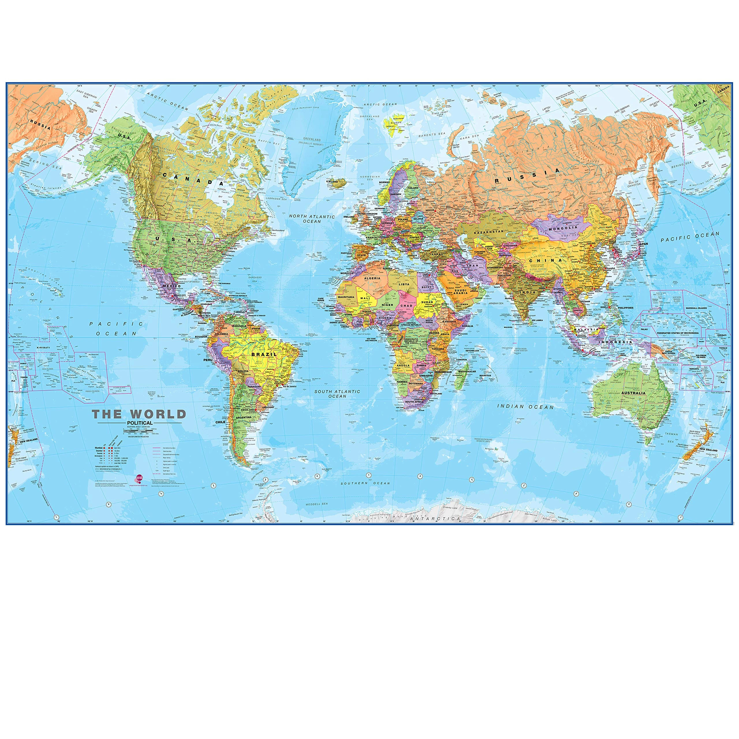
World Map Poster for Wall – 84 x 60cm 2026 Large Map of World Wall Art Atlas - Classroom or Geography Gift
Hambli
Maps International - Giant World Map - Updated 2025 - Mega-Map Of The World - 201cm (w) x 116.5cm (h) - Full Lamination
Maps International
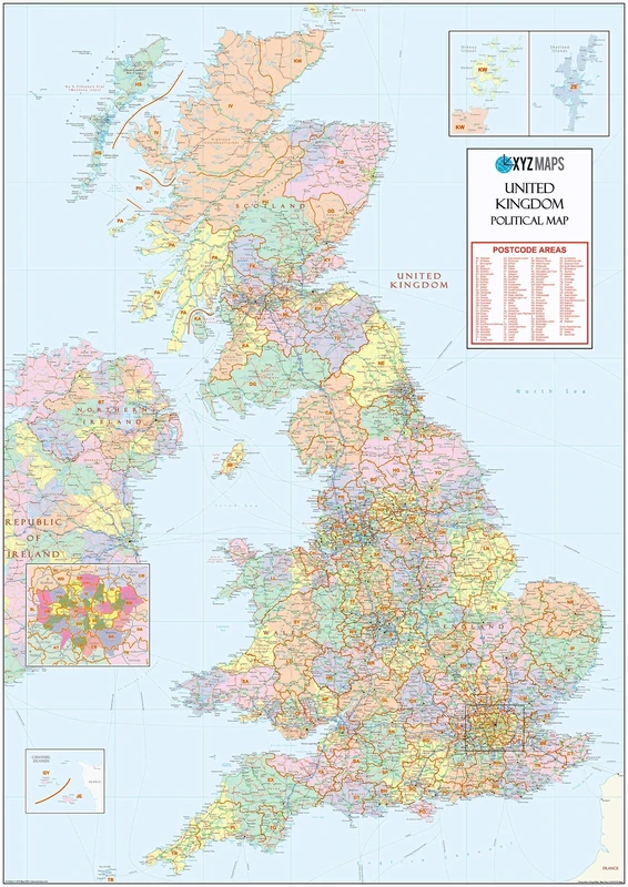
UK Political - Postcode District Wall Map (6'x4')-Paper
XYZ Maps
XYZ Maps UK Postcode Areas Wall Map – 100 cm x 141 cm – England, Scotland & Wales – Political Postcode Regions – 120gsm Art Paper – Ideal for Office, Classroom & Planning Use
XYZ Maps
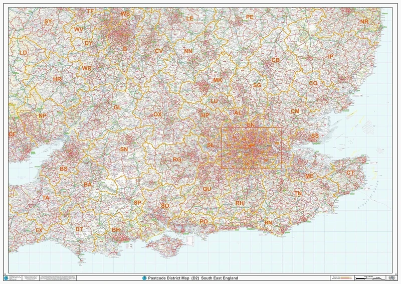
South East England - Postcode District Wall Map-Plastic Coated 2A (119cm x 168cm)
XYZ Maps

Great British Bucket List Map | Marvellous Maps | Adventure Gifts | Discover Britain
Marvellous Maps
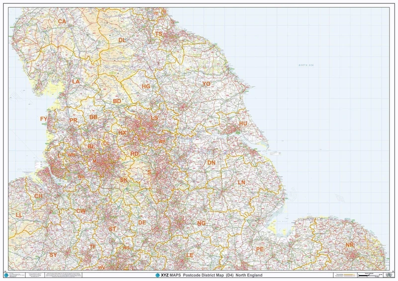
North England - Postcode District Wall Map-Plastic Coated 2A (119cm x 168cm)
XYZ Maps
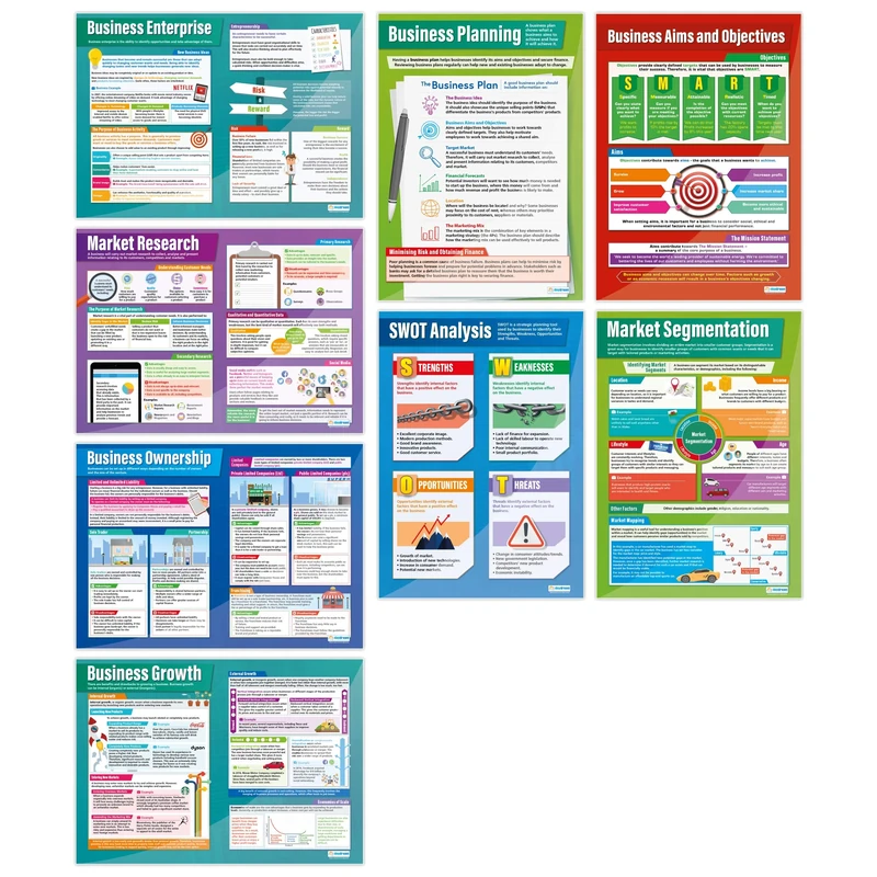
Business Decisions Posters - Set of 8 | Business Posters | Laminated Gloss Paper measuring 850mm x 594mm (A1) | Business Class Posters | Education Charts by Daydream Education
Daydream Education
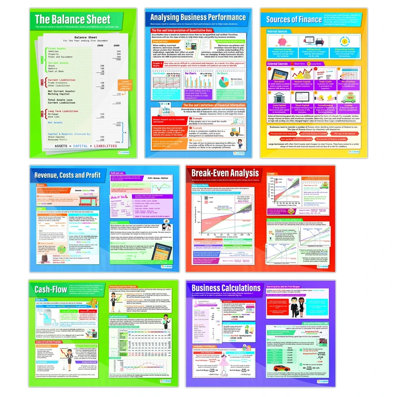
Daydream Education Accounting and Finance Classroom Posters - Set of 7 - EXTRA LARGE - A1 (850mm x 594mm) - Laminated - Business Studies Secondary School Wall Charts
Daydream Education